Fernweh: Home
ExploreGuideDestinationsMy tripsMy trip
de|en
All Places & RegionsRound tripsNight trains in EuropeAll highlightsAbout FernwehFAQPrivacy PolicyImprint
Download on the App StoreGet it on Google Play
ExploreGuideDestinationsMy tripsMy trip
    • Overview
    • Places in the region
    • Eat & drink
    • Round trips
    • Nearby
    West Coast and North

    Photo by Emily Carter on Pexels

    Barbados

    West Coast and North

    Region

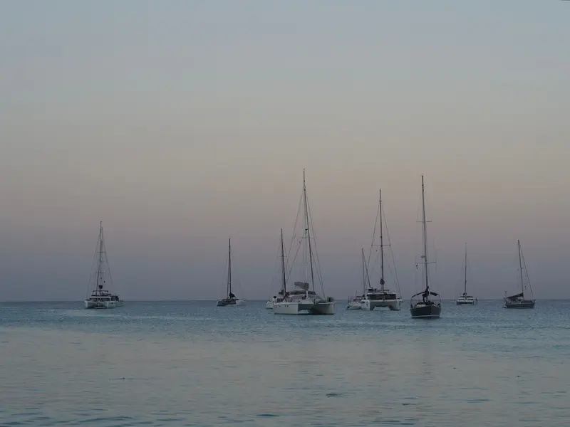
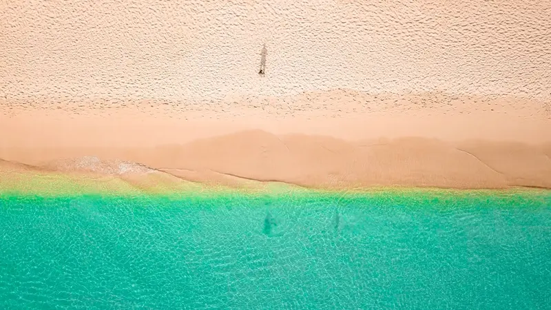
    The west coast in the parishes of St. James and St. Peter lies in the island's leeward side and has calm, clear Caribbean waters. Holetown was where the first English settlers landed in 1627.

    by Felix Gillen

    1. Home
    2. Destinations
    3. Barbados
    4. West Coast and North
    The west coast in the parishes of St. James and St. Peter lies in the island's leeward side and has calm, clear Caribbean waters. Holetown was where the first English settlers landed in 1627. Further north, the path leads into the hilly hinterland to the 1658 plantation house St Nicholas Abbey and to the Cherry Tree Hill viewpoint.
    Barbados travel guideSee the round tripPlan a trip with West Coast and North

    Contents

    • Overview
    • Places in the region
    • Eat & drink
    • Round trips
    • Nearby
    Along the west coast, Highway 1 runs north from Bridgetown; Lonely Planet describes the 23-kilometer stretch to Six Men's. Along the way lie bathing bays like Paynes Bay, with calm water and good snorkeling spots, then Holetown with the Folkestone Marine Park, and further north, Speightstown. In the hilly northern hinterland stands the plantation house St Nicholas Abbey.
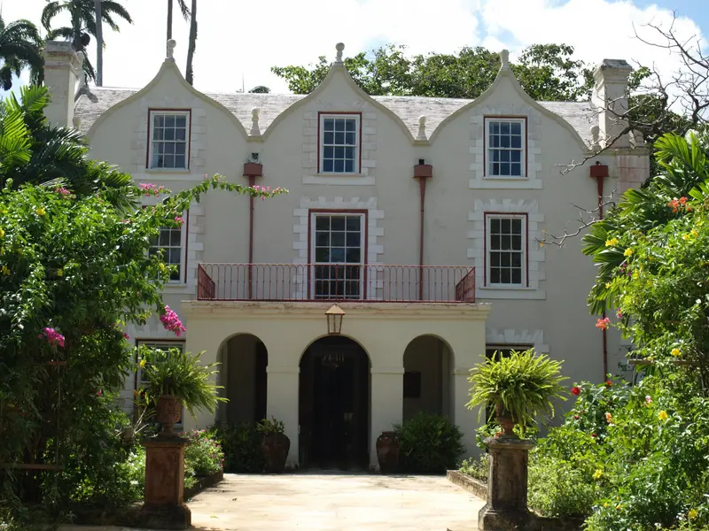
    St Nicholas Abbey

    “StNicholasAbbey” by Pontificalibus / Wikimedia Commons / CC BY-SA 3.0, mod.
    Place 1 of 2

    St Nicholas Abbey

    St Nicholas Abbey is a plantation house in the north of Barbados in the Parish of St. Peter, built in 1658 by Colonel Benjamin Berringer.

    Discover
    Holetown

    Photo by Lorilee E on Pexels

    Place 2 of 2

    Holetown

    Holetown is the main town on the tranquil west coast of Barbados, located in the Parish of St. James north of Bridgetown. It was here, on February 17, 1627, that the English settlement of the island began with the landing of the Olive Blossom.

    Discover

    Restaurants in West Coast and North

    1

    The Cliff

    Gourmet restaurant with a fixed-price menu on Highway 1 in Derricks on the West Coast, south of Holetown. Fodor's ranks it among the island's best addresses.
    Show on Google Maps

    Round trips through this region

    Barbados around the island

    Barbados around the island

    Ten days to journey around Barbados by rental car. The routes are short, but roads are narrow and winding, and driving is on the left. For your rental car, you'll need a temporary driving permit, which you obtain from the rental company. Driving times are from the route planner rome2rio, assuming no traffic; distances are also according to Lonely Planet.

    10 Days
    7 stops

    Gregor Julien Straube·CC BY-SA 4.0

    Nearby

    Harrison's Cave

    Harrison's Cave is a dripstone cave in the island's limestone interior, in Parish St. Thomas, about eight kilometers from Bridgetown. You travel by tram past stalactites and stalagmites, underground streams and waterfalls.The cave is part of an eco-adventure park featuring a nature trail through tropical vegetation and an aviary with native birds. According to the tourism authority, tram tours operate on Mondays, Fridays, Saturdays, and Sundays between 10:30 AM and 2:30 PM; you should check availability online in advance.

    Hunte's Gardens

    Hunte's Gardens is a tropical garden in a deep, sinkhole-like gully in the Parish of St. Joseph in the island's interior. Gardener Anthony Hunte began its creation in 1990 on the land of a former sugarcane plantation; it has been open to visitors since 2007.Spanning approximately four hectares, winding paths lead across multiple levels to clearings and garden rooms featuring royal palms, ginger lilies, heliconias, and birds of paradise. You can also view the founder's residence, a converted colonial-era stable.

    East Coast and Island Interior

    On the east coast, the Atlantic meets Barbados unchecked. Around Bathsheba in the Scotland District, rocks dot the surf, while surfers ride the waves at Soup Bowl. In the hilly island interior are Harrison's Cave, a stalactite cave, and Hunte's Gardens, a gorge garden. Not far away, Mount Hillaby rises as the island's highest point.

    Bathsheba

    Bathsheba is a small village on the Atlantic coast in the Parish St. Joseph and the tourist hub of the east coast, about 15 kilometers from Bridgetown. Large rocks stand in the surf here, and behind them rise the green hills of the Scotland District.In front of the village lies the Soup Bowl, one of the most famous surf spots in the Caribbean, where waves break almost all year round. According to the tourism authority, the biggest swells for pros arrive in November and April; beginners surf best early in the morning at low tide. The coast is not suitable for swimming due to the currents, but here you experience the wild side of Barbados.
    Bridgetown

    Bridgetown

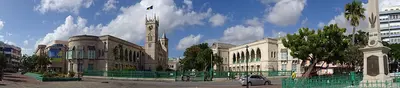
    Bridgetown is the capital of Barbados and is located on Carlisle Bay in the southwest of the island. Its old town with its winding alleys and the Garrison have formed the UNESCO World Heritage site “Historic Bridgetown and its Garrison” since 2011, bearing witness to trade and defense during the British colonial era.Founded in 1628, the city is bisected by the Careenage, a narrow waterway where ships were once refitted. Neo-Gothic Parliament Buildings front National Heroes Square, with shopping streets Broad Street and Swan Street to their north. Nearby are the 1654 Nidhe Israel Synagogue and St. Michael’s Cathedral. Just a few minutes south, Carlisle Bay offers calm, clear waters for snorkeling.

    Gregor Julien Straube·CC BY-SA 4.0

    Your next steps

    West Coast and North is in Barbados. Ways to carry on from here.

    • More in Barbados

      Highlights, areas, routes and the best time to travel for all of Barbados.

      Barbados travel guide
    • Round trips with West Coast and North

      One route passes through West Coast and North, with stops, nights and a map.

      See the round trip
    • Plan a trip with West Coast and North

      The Guide asks about season, length and who is coming, and suggests a trip with West Coast and North.

      Plan the trip

    Sources & method

    • Photos: Pexels. Each photo carries its credit.
    • Place data such as addresses and ratings comes from Google Maps.
    • The content is based on web research from public, traceable sources. How the content is made · The role of AI