Fernweh: Home
    ExploreTravel GuidesPlan a tripMy tripLast visited
    de|en
    All Places & RegionsAll highlightsAbout FernwehFAQPrivacy PolicyImprint
    ExploreTravel GuidesPlan a tripMy tripLast visited
    • Neighborhoods & highlights
    • Eat & drink
    • Food culture
    • Culture
    • Getting around
    • Accommodation
    • Plan trip
    • Nearby
    Nanyuki
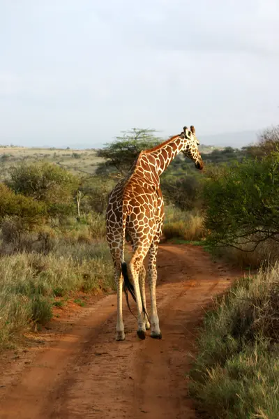
    Martin Kithinji Mwirigi / Wikimedia Commons / CC BY-SA 4.0

    Kenya

    Nanyuki

    City

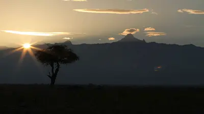
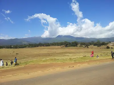
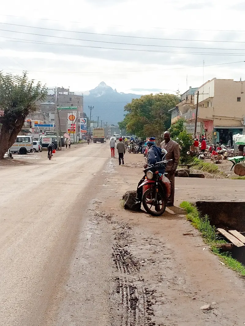
    Nanyuki is a market town in Laikipia County at the western foot of Mount Kenya, whose southern part is crossed by the Equator.

    by Felix Gillen

    1. Home
    2. Destinations
    3. Kenya
    4. Mount Kenya, Laikipia & Samburu
    5. Nanyuki
    Nanyuki is a market town in Laikipia County at the western foot of Mount Kenya, whose southern part is crossed by the Equator. It is the base for tours up the mountain and for safaris in Ol Pejeta and the other conservancies of the Laikipia Plateau.British settlers settled here in 1907. Today, markets, lodges on the outskirts, and handicrafts characterize the town of over 70,000 inhabitants.

    Sights in Nanyuki

    Discover the most important sights and attractions
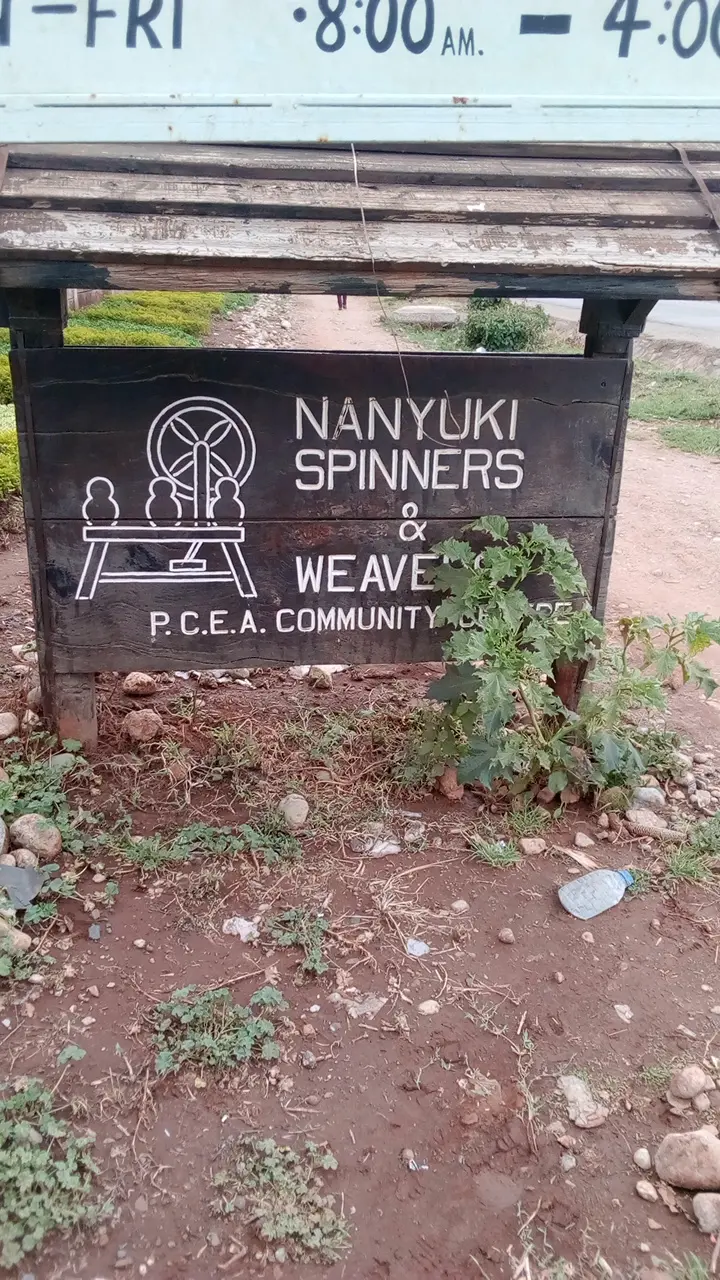
    Nanyuki Spinners and Weavers
    Point of Interest

    1Nanyuki Spinners and Weavers

    Women-led workshop where you can watch female artisans spin and weave and buy their handcrafted goods.
    Open in Google Maps
    Fairmont Mount Kenya Safari Club
    Restaurant

    2Fairmont Mount Kenya Safari Club

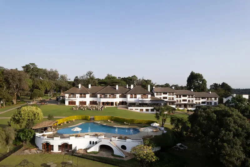
    Historic hotel at approximately 2,100 meters directly on the Equator, on the slopes of Mount Kenya, one of the city's most renowned properties. The mountain rises behind gardens and forest.
    Open in Google Maps
    Equator Marker, Nanyuki
    Historic Landmark

    3Equator Marker, Nanyuki

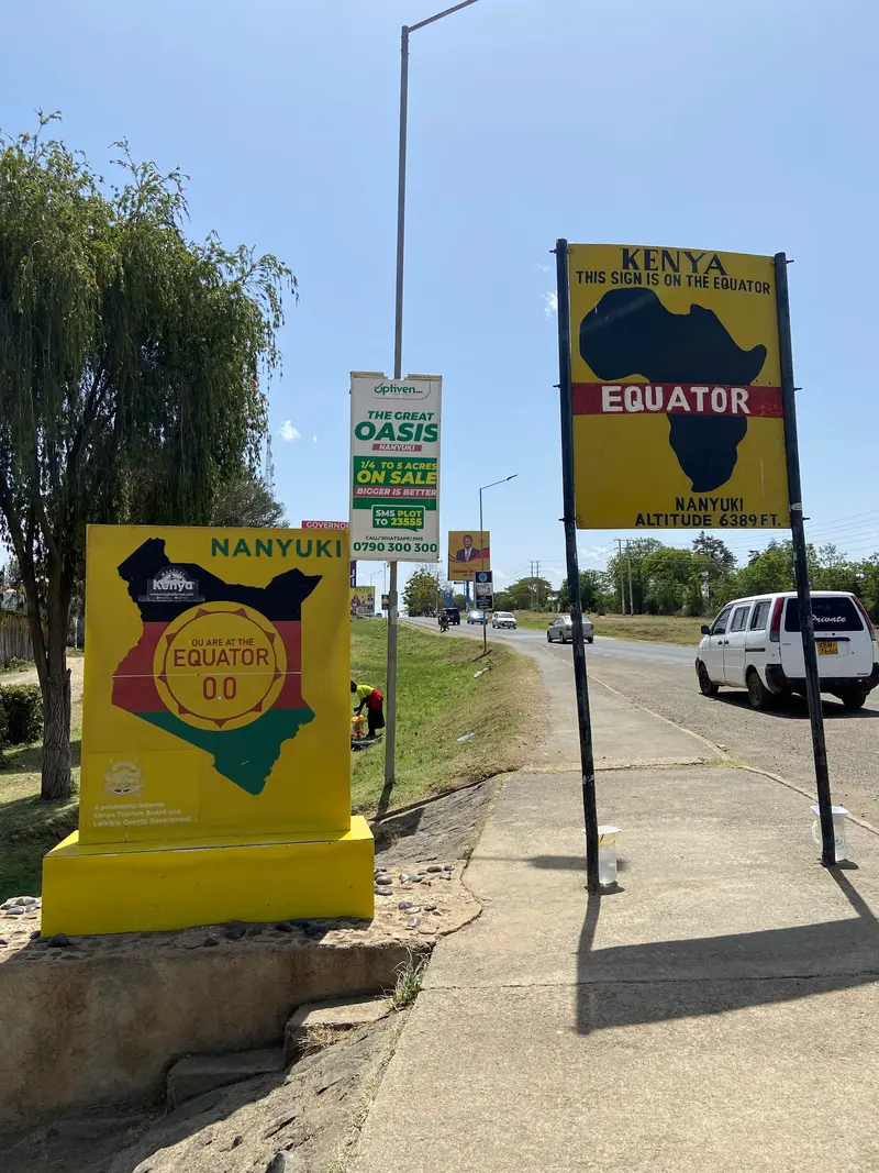
    The Equator Sign south of Nanyuki is a popular photo stop. Locals demonstrate here how water drains differently on both sides of the line, and next door, the Equator Market sells souvenirs.
    Open in Google Maps

    Restaurants in Nanyuki

    1

    Trout Tree Restaurant

    In einen riesigen Feigenbaum am Burguret River gebautes Restaurant südlich von Nanyuki. Die Forellen stammen aus eigener Zucht und kommen gebraten mit Pommes und Salat, in den Bäumen siehst du oft Stummelaffen und Klippschliefer.
    Show on Google Maps
    2

    Barney's Bar and Restaurant

    Restaurant directly on Nanyuki Airfield; watch small planes take off from the terrace. The cuisine is predominantly Italian, known for its wood-fired pizzas.
    Show on Google Maps
    3

    Le Rustique Restaurant

    Relaxed, slightly upscale restaurant with Mediterranean cuisine, such as grilled Red Snapper or fillet steak with pepper sauce. A play area is available for children.
    Show on Google Maps

    Food & Beverages

    Mount Kenya's cuisine builds on maize, beans, and potatoes from fertile highlands, plus trout from cold mountain rivers.

    Mukimo (Irio)

    Mashed potatoes with corn, peas or beans and green vegetables, a Kikuyu dish from the Mount Kenya region. It often accompanies grilled meat.

    Githeri

    A corn and bean stew, with potatoes or meat, depending on the recipe. It hails from Kikuyu cuisine and is an everyday dish across Central Kenya.

    Nyama Choma

    Charcoal-grilled meat, usually goat or beef, eaten throughout Kenya. Often served with Ugali or Mukimo.

    Forelle

    From Mount Kenya's cold rivers: Restaurants like Trout Tree on the Burguret River farm their own trout, serving them fried with fries and salad.

    The City and History

    Equatorial Settler TownNanyuki originated after 1907 as a British settler settlement; some of their descendants still live in the area today. At the equator sign in the south of the town, locals show visitors how water drains differently on both sides of the line, and the Equator Market sells souvenirs nearby.Garrison TownThe British Army Training Unit Kenya (BATUK) maintains the Nyati Barracks in Nanyuki. In addition, it hosts the main base of the Kenyan Air Force.HandicraftsAt Nanyuki Spinners & Weavers, a women-run workshop, you can watch spinning and weaving and buy handmade items.

    Getting Here and Trips

    Getting ThereNanyuki is located on the A2 highway north of Nairobi. The airfield 6.5 kilometers south of the town is served by light aircraft.ExcursionsOl Pejeta Conservancy begins directly west of town.Multi-day tours to Mount Kenya start from Nanyuki.The Kentrout trout restaurant in Timau is about an hour's drive away.SafetyBefore traveling, check the current travel and safety advisories from the UK FCDO, linked on the country page.

    Accommodations in Nanyuki

    Find perfect stay in Nanyuki

    Booking.com* (Affiliate link)
    Search Hotels
    Agoda* (Affiliate link)
    Search Hotels
    Airbnb
    Vacation Rentals

    * Affiliate link: if you book through it, we earn a small commission. The price stays the same for you.

    Plan your trip to Nanyuki

    Save places, build a route and plan your city trip, all in one place.

    1. 1
      Sunrise over alpine peaks and a sea of clouds
      1234

      Round trip

      12 days · 4 stops

      Saved

      Pick a route

      Pick a ready-made one or save places and plan your own.

      Open bookmarks
    2. 2

      Trip to Nanyuki

      Live
      • 1Nanyuki Spinners and Weavers3 days
      • 2Fairmont Mount Kenya Safari Club4 days
      • 3Equator Marker, Nanyuki5 days
      Budget

      Plan your trip

      The planner sorts stops, days and budget. Plan together in real time.

      Start trip planning
    3. 3
      9:41 No signal
      Nanyuki
      Available offline

      Use it on the road

      Download the guide to your phone and use it on site, even offline.

    Nearby

    Ol Pejeta Conservancy

    Ol Pejeta Conservancy

    Ol Pejeta is a non-profit Wildlife Conservancy on the Laikipia Plateau directly west of Nanyuki, covering approximately 360 square kilometers and straddling the equator. It is considered East Africa's largest sanctuary for black rhinos and the last refuge for northern white rhinos.In addition to the Big Five, rescued chimpanzees live here in the Sweetwaters Sanctuary, the only place in Kenya where you can see these great apes.
    Mount Kenya, Laikipia & Samburu

    Mount Kenya, Laikipia & Samburu

    North of Nairobi, the land rises towards Mount Kenya, Africa's second-highest mountain. Around the summit are national parks with mountain forest and moorland, private conservancies on the Laikipia Plateau, and further north the dry reserves of Samburu and Shaba, home to animals rarely seen in southern Kenya.The market town of Nanyuki, on the Equator, is a practical starting point for mountain treks and game drives.
    Mount Kenya National Park

    Mount Kenya National Park

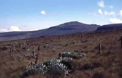
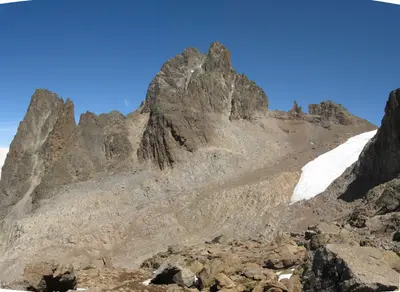
    The Mount Kenya National Park protects the high altitudes of Africa's second-highest mountain, just south of the Equator in central Kenya. Trekkers ascend via the Sirimon, Naro Moru, or Chogoria routes to the 4,985-meter-high Point Lenana, while the main peaks Batian and Nelion are reserved for climbers.Since 1997, the park and mountain forest have been UNESCO World Heritage. Above the mountain forest, you reach glacier remnants and mountain lakes like Lake Michaelson.
    Lewa Wildlife Conservancy

    Lewa Wildlife Conservancy

    Lewa is a private Wildlife Conservancy at the northern foot of Mount Kenya, south of Isiolo in Meru County, which originated from a Craig family cattle ranch. It protects more than twelve percent of Kenya's black rhinos and the world's largest single population of Grevy's zebra.Since 2013, Lewa, along with the adjacent Ngare Ndare Forest, has been part of the Mount Kenya UNESCO World Heritage Site.
    Aberdare National Park

    Aberdare National Park

    The Aberdare National Park protects the highlands of the Aberdare Range between 2,000 and 4,000 meters, about 150 kilometers north of Nairobi near Nyeri. Misty mountain forest, moorland, and waterfalls such as the Karuru Falls characterize the park, which was founded in 1950.It became known for the Treetops tree lodge, where Elizabeth II became queen in 1952.

    Sources & method

    • Photos: Wikimedia Commons, Google Maps. Each photo carries its credit.
    • Place data such as addresses and ratings comes from Google Maps.
    • The content is based on web research from public, traceable sources. How the content is made · The role of AI