Fernweh: Home
    ExploreTravel GuidesPlan a tripMy tripLast visited
    de|en
    All Places & RegionsAll highlightsAbout FernwehFAQPrivacy PolicyImprint
    ExploreTravel GuidesPlan a tripMy tripLast visited
    • Neighborhoods & highlights
    • Eat & drink
    • Culture
    • Nightlife
    • Getting around
    • Accommodation
    • Plan trip
    • Nearby
    Agadir
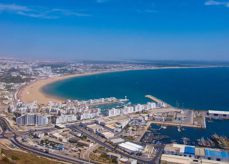
    Marco Riss / Wikimedia Commons / CC BY-SA 3.0

    Morocco

    Agadir

    City

    Agadir, with around 500,000 inhabitants, is the largest city in the Souss-Region and a well-known seaside resort. After the earthquake on February 29, 1960, which killed approximately 12,000 to 15,000 people, the city was rebuilt.

    by Felix Gillen

    1. Home
    2. Destinations
    3. Morocco
    4. Essaouira & Souss
    5. Agadir
    Agadir, with around 500,000 inhabitants, is the largest city in the Souss-Region and a well-known seaside resort. After the earthquake on February 29, 1960, which killed approximately 12,000 to 15,000 people, the city was rebuilt. Beach, marina, and the Kasbah Agadir Oufella on the hill define its image.

    Sights in Agadir

    Discover the most important sights and attractions
    Marina Agadir
    Attraction

    1Marina Agadir

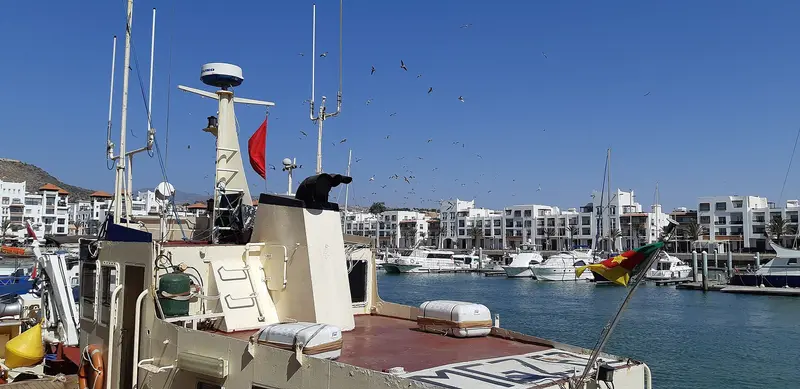
    Marina in Moorish style with restaurants and cafés.
    Open in Google Maps
    Souk El Had
    Market

    2Souk El Had

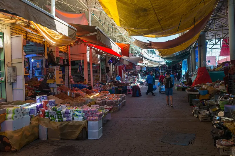
    Large market with thousands of stalls for spices, fruit, vegetables, clothing, and handicrafts. Closed on Mondays.
    Open in Google Maps
    Kasbah Agadir Oufella
    Attraction

    3Kasbah Agadir Oufella

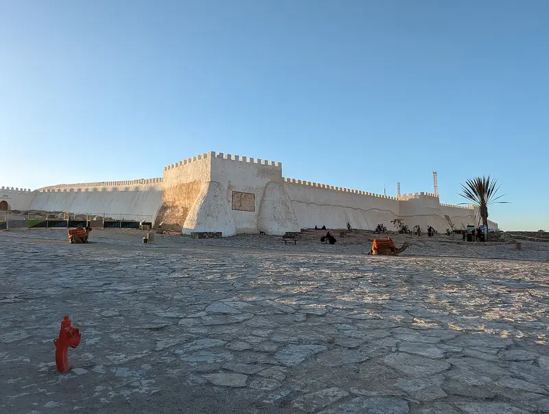
    The 1572-built Kasbah on the hill above the bay was largely destroyed in the 1960 earthquake; part of the wall is restored. Since 2022, a cable car runs up, offering panoramic views over the city, port, and beach.
    Open in Google Maps

    Restaurants in Agadir

    1

    Pure Passion

    Restaurant with terrace overlooking the marina, with Dakhla shrimp and oysters.
    Show on Google Maps
    2

    The Water Garden

    Restaurant with Tajines and Moroccan cuisine.
    Show on Google Maps
    3

    La Scala

    Restaurant specializing in fish.
    Show on Google Maps

    Culture & History

    Portuguese and SaadiansIn 1505, the Portuguese founded the stronghold of Santa Cruz do Cabo do Gué here. The Saadians conquered the fortress in 1541 and built the Kasbah on the hill in 1572, which is now called Agadir Oufella.The 1960 EarthquakeThe earthquake almost completely destroyed the city and killed about a third of its inhabitants at the time. A restored section of wall remains from the Kasbah, and since 2022, a cable car has led up to it.

    Nightlife

    1

    So Lounge

    Club at Hotel Sofitel on the Baie des Palmiers with DJs and live acts.
    Show on Google Maps
    2

    Papagayo

    Club on the beach next to Hotel Riu Tikida, a fixture in the city’s nightlife since 1998.
    Show on Google Maps

    Exploring locally

    ArrivalAl Massira Airport is roughly 23 km out.Agadir has no train station. CTM buses take around three hours to Marrakech.Around TownAmalway, a rapid bus system, has run since 2026.Petits Taxis go to the Souk, Marina, and Cable Car.Taghazout is around 20 km along the coast.

    Accommodations in Agadir

    Find perfect stay in Agadir

    Booking.com* (Affiliate link)
    Search Hotels
    Agoda* (Affiliate link)
    Search Hotels
    Airbnb
    Vacation Rentals

    * Affiliate link: if you book through it, we earn a small commission. The price stays the same for you.

    Plan your trip to Agadir

    Save places, build a route and plan your city trip, all in one place.

    1. 1
      Sunrise over alpine peaks and a sea of clouds
      1234

      Round trip

      12 days · 4 stops

      Saved

      Pick a route

      Pick a ready-made one or save places and plan your own.

      Open bookmarks
    2. 2

      Trip to Agadir

      Live
      • 1Marina Agadir3 days
      • 2Souk El Had4 days
      • 3Kasbah Agadir Oufella5 days
      Budget

      Plan your trip

      The planner sorts stops, days and budget. Plan together in real time.

      Start trip planning
    3. 3
      9:41 No signal
      Agadir
      Available offline

      Use it on the road

      Download the guide to your phone and use it on site, even offline.

    Nearby

    Taghazout

    Taghazout

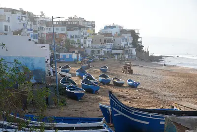
    Taghazout is a former fishing village approximately 20 kilometers north of Agadir and one of Morocco's best-known surf spots. The right-hand wave at Anchor Point breaks three kilometers north of the village, with beginner spots directly at the village. In the hinterland lies the Paradise Valley with natural rock pools.
    Taroudant

    Taroudant

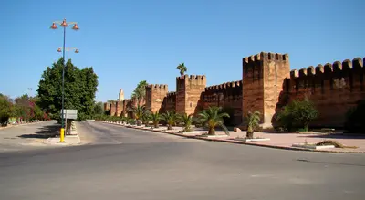
    Taroudant lies around 80 kilometers east of Agadir in the Souss Plain and is considered the region's historic capital. Mud walls about six kilometers long with around 130 towers enclose the old town. For its souks and walls, Lonely Planet calls the town a Mini-Marrakech.
    Essaouira

    Essaouira

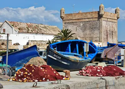
    Essaouira is a fortified port city on the Atlantic coast west of Marrakesh. Sultan Mohammed III. had it built in the 1760s according to the plans of French engineer Théodore Cornut; its Medina has been a UNESCO World Heritage site since 2001. Wind, the fishing port, and the Gnaoua Festival define the town.
    Essaouira & Souss

    Essaouira & Souss

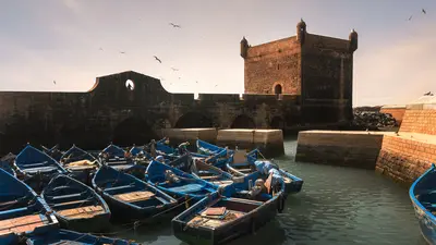
    The southern Atlantic extends from the port city Essaouira, whose medina is a UNESCO World Heritage site since 2001, to the seaside resort Agadir and the surf beaches around Taghazout. Inland lies the walled city Taroudant in the Souss Plain.
    Imlil & Toubkal

    Imlil & Toubkal

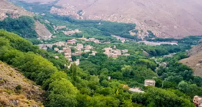
    Imlil is located at around 1,800 metres in the High Atlas, approximately 65 kilometres south of Marrakech, and serves as the starting point for climbing Toubkal. At 4,167 metres, it is the highest mountain in North Africa and the centrepiece of the Toubkal National Park, founded in 1942. Around the village, hiking trails lead to Berber villages and to the Sidi Chamharouch shrine, which non-Muslims are not permitted to enter.

    Sources & method

    • Photos: Wikimedia Commons, Google Maps. Each photo carries its credit.
    • Place data such as addresses and ratings comes from Google Maps.
    • The content is based on web research from public, traceable sources. How the content is made · The role of AI