Fernweh: Home
ExploreGuideDestinationsMy tripsMy trip
de|en
All Places & RegionsRound tripsNight trains in EuropeAll highlightsAbout FernwehFAQPrivacy PolicyImprint
Download on the App StoreGet it on Google Play
ExploreGuideDestinationsMy tripsMy trip
    • Places & highlights
    • Recommendations
    • Tours
    • Eat & drink
    • Culture
    • Getting around
    • Accommodation
    • Nearby
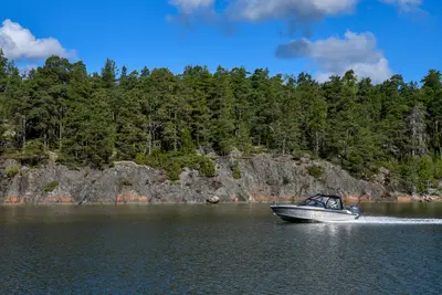
    Turku Archipelago

    Photo by Raul Ling on Pexels

    Finland

    Turku Archipelago

    Point of Interest

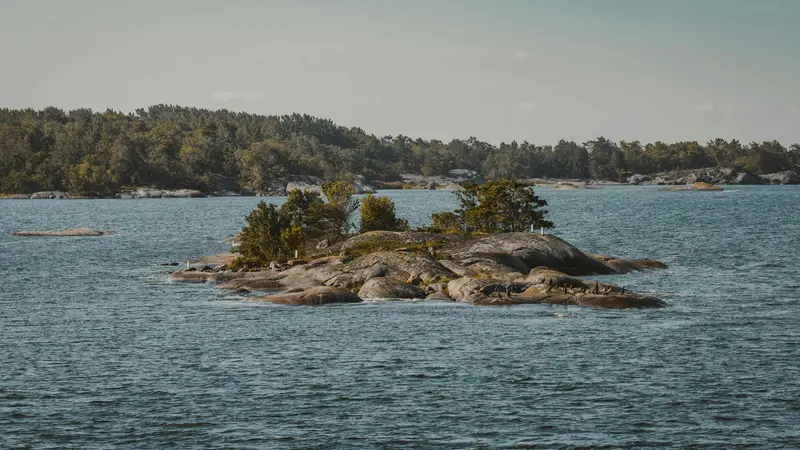
    Near Turku lies an archipelago of some 20,000 islands and skerries. Instead of major sights, discover fishing villages, sandy beaches, good birdwatching, and peaceful nature.

    by Felix Gillen

    1. Home
    2. Destinations
    3. Finland
    4. Southwest Finland
    5. Turku Archipelago
    Near Turku lies an archipelago of some 20,000 islands and skerries. Instead of major sights, discover fishing villages, sandy beaches, good birdwatching, and peaceful nature. The Archipelago Ring Road connects Parainen, Nauvo, Korppoo, Houtskär, and Iniö islands to the mainland coast near Naantali, using bridges and mostly free ferries; the large loop is around 250 kilometers, a small loop around 120 kilometers.
    Finland travel guideRound trips in FinlandPlan a trip with Turku Archipelago

    Contents

    • Places & highlights
    • Recommendations
    • Tours
    • Eat & drink
    • Culture
    • Getting around
    • Accommodation
    • Nearby

    Sights in Turku Archipelago

    Discover the most important sights and attractions

    Nauvo (Nagu) with marina

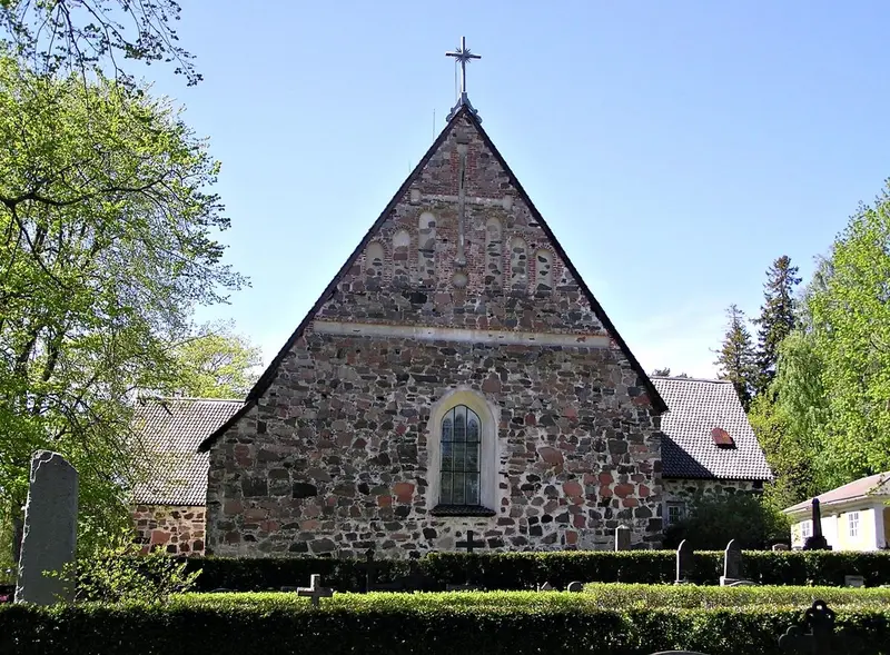
    “Nauvo church” by Ekhoc / Wikimedia Commons / CC BY-SA 2.0, mod.

    1Nauvo (Nagu) with marina

    The village on Nauvo is the liveliest in the archipelago during summer, with stalls, shops, and restaurants by the harbour, which is one of Finland's largest recreational boat harbours. At the South Harbour, a cultural trail about the life of painter Victor Westerholm begins. Coming from Turku, you reach Nauvo via Parainen and the ferry from Lillmälö to Prostvik.
    Open in Google Maps
    Korppoo (Korpo)

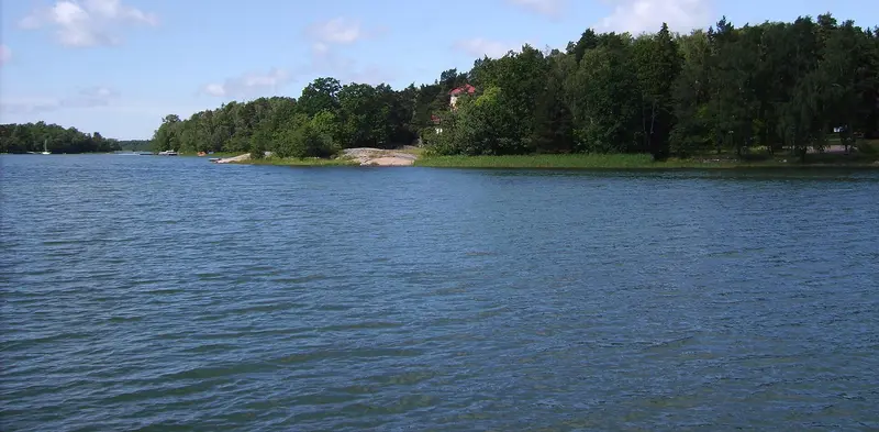
    “Prästgårdens småbåtshamn vid Kuggviken i Korpo, den 28 juni 2007, bild 11” by Västgöten / Wikimedia Commons / CC BY 3.0, mod.

    2Korppoo (Korpo)

    After the short ferry from Pärnäs, the road narrows and the archipelago feel intensifies. Korppoo village has a supermarket, shops, tourist information, a restaurant, and a swimming beach; en route is Österretais with a barefoot culture trail. From Galtby, the ferry continues to Houtskär.
    Open in Google Maps
    Iniö

    Xepheid / Wikimedia Commons / CC BY-SA 4.0, mod.

    3Iniö

    Iniö consists of more than 1,000 islands and skerries, only ten of which are inhabited year-round. Getting there is an experience in itself: From Mossala on Houtskär, the ferry ride takes an hour. On its narrow roads, traffic is light, ideal for cycling.
    Open in Google Maps

    4Mossala on Houtskär

    The one-hour ferry to Iniö departs from northern Houtskär. Mossala offers cabins, camping & motorhome pitches, a restaurant, harbour, and a nature trail with viewpoint – a good stop before your crossing. Some ferries operate by demand; plan some buffer.
    Open in Google Maps

    Tours & experiences in Turku Archipelago

    Search tours for Turku Archipelago on GetYourGuide* (Affiliate link)On GetYourGuide, with reviews from other travellers

    * Affiliate link: if you book through it, we earn a small commission. The price stays the same for you.

    Restaurants in Turku Archipelago

    Life in the Archipelago

    Islands of Unique CharacterThe Archipelago Ring Road passes through ten municipalities and island regions: Parainen, Nauvo, Korppoo, Houtskär, Iniö, Kustavi, Taivassalo, Vehmaa, Mynämäki, and Naantali. Iniö consists of more than 1,000 islands and skerries, only ten of which are inhabited year-round. Parainen is home to Finland's largest open-pit limestone quarry, where mining remains an important employer to this day. In summer, farms along the side roads sell potatoes and tomatoes from self-service kiosks with an honesty box.Outer ArchipelagoFrom Pärnäs on Nauvo, ferries travel to the islands of the Archipelago Sea National Park: Nötö with its cultural landscape, Aspö with folk music traditions, Jurmo with long, narrow beaches formed by glacial moraines, and Utö with its maritime history. According to Parainen Tourist Office, the journey there is free, but must be booked.

    The Schären Ring Road

    Route and FerriesParainen to Nauvo: approx. 35 kilometers, one ferry from Lillmälö to Prostvik (10 minutes, up to four departures per hour).Nauvo to Korppoo: approx. 23 kilometers, ferry from Pärnäs (5 minutes, regular departures).Korppoo to Houtskär: approx. 24 kilometers, ferry Galtby to Kittuis (about 30 minutes, every one to two hours) plus two short crossings.Houtskär to Iniö: approx. 30 kilometers, one-hour ferry from Mossala; some ferries run on demand only, plan for buffer time.Iniö to Kustavi: ferry from Kannvik to Heponiemi (25 minutes), from there back to the mainland.Practical InfoMost ferries are free. The complete loop is only navigable with all connections during the summer season; check timetables with FinFerry and the Parainen Tourist Office. Lonely Planet recommends taking three days for the loop. The route is suitable for cars and bicycles; there is a separate cycle path up to the first ferry in Lillmälö.

    Accommodations in Turku Archipelago

    Find perfect stay in Turku Archipelago

    Booking.com* (Affiliate link)
    Search Hotels
    Agoda* (Affiliate link)
    Search Hotels
    Airbnb
    Vacation Rentals

    * Affiliate link: if you book through it, we earn a small commission. The price stays the same for you.

    Campgrounds in Turku Archipelago

    Find perfect campground in Turku Archipelago

    Search via Google Maps
    Campgrounds nearby (15km)
    Camping.info
    Find Campgrounds
    Park4Night
    RV Parks & Camping

    Nearby

    Southwest Finland

    Southwest Finland

    The region around Turku is Finland's historic heartland: Turku was the capital until 1812, and its castle and cathedral date from the 13th century. Off the coast lies the Turku Archipelago with around 20,000 islands and skerries, through which the Archipelago Trail runs with bridges and mostly free ferries. About 15 kilometers from Turku, Naantali entices visitors with Moominworld.

    Margo Evardson·Pexels

    Turku

    Turku

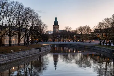
    Turku, Swedish Åbo, is located at the mouth of the Aura River into the Baltic Sea and was the capital of Finland until 1812. The 13th-century castle and cathedral recall this era, and the Aboa Vetus & Ars Nova Museum leads into the alleys of the medieval city. Today, the country's oldest university, art, summer festivals, and a lively gastronomy shape this city on the river. Turku is also the gateway to the archipelago with approximately 20,000 islands.

    Jamo Images·Unsplash

    Rauma

    Rauma

    The coastal town on the west coast, around 90 kilometers north of Turku, boasts Vanha Rauma, the largest continuously preserved wooden town in the Nordic countries, UNESCO World Heritage site since 1991. You come for its over 600 wooden houses along medieval alleys, its bobbin lace tradition, and the islands off the coast.The old town is not a museum: around 800 people live here among shops, cafés, and workshops. 20 kilometers inland is Sammallahdenmäki, a second World Heritage site of Bronze Age burial mounds.

    Lauren Stevens·CC BY-SA 4.0

    Åland

    Åland

    This archipelago in the middle of the Baltic Sea between Finland and Sweden is an autonomous, Swedish-speaking province of Finland with its own flag, postage stamps, and around 30,000 inhabitants. You come for the medieval Kastelholm Castle, the fortress ruins of Bomarsund, and the maritime history of Mariehamn, where the four-masted barque Pommern lies in the West Harbour.Mariehamn is the islands' only city, known as the "City of a Thousand Lindens"; museums, cafés, and the harbour are all within walking distance there. On the main island and between the skerries, buses and Ålandstrafiken's ferries take you further.

    CedarGlen86·CC0

    Tampere

    Tampere

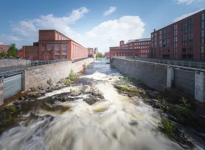
    Tampere is located between the lakes Näsijärvi and Pyhäjärvi, connected by the Tammerkoski rapids, which flow right through the city. Along their banks stand red brick factories, which now house museums, shops, cafés, and bars. Additionally, there's the world's only Moomin Museum, the Näsinneula observation tower, and more than 70 public saunas in the region, including Rajaportti, Finland's oldest continuously operating public sauna.

    Antti Kulmanen·Pexels

    Your next steps

    Turku Archipelago is in Finland. Ways to carry on from here.

    • More in Finland

      Highlights, areas, routes and the best time to travel for all of Finland.

      Finland travel guide
    • Round trips in Finland

      Ready-made routes through Finland, with stops, nights and a map.

      See the routes
    • Plan a trip with Turku Archipelago

      The Guide asks about season, length and who is coming, and suggests a trip with Turku Archipelago.

      Plan the trip

    Sources & method

    • Photos: Wikimedia Commons, Pexels. Each photo carries its credit.
    • The content is based on web research from public, traceable sources. How the content is made · The role of AI