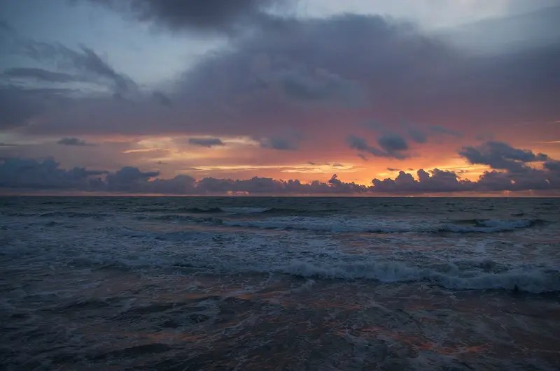
Ben Tatlow bentatlow / Wikimedia Commons / CC0
Round trip · Gambia
Gambia: Atlantic Coast and River in 10 Days
by Felix Gillen
- 11 Days / 10 Nights
- Kololi → Janjanbureh
Ten days from the coast near Kololi, across the South Coast to Kartong, then upstream via Kiang West to Janjanbureh, with detours to the Wassu Stone Circles and the River Gambia National Park. You visit Kunta Kinteh Island as a day trip from the coast.
At a glance
- Duration
- 11 Days / 10 Nights
- Stops
- 4 · Kololi → Janjanbureh
- Arrival
- Flight · Banjul International Airport (BJL)
- Best Time to Go
- November to April
4 stops
Why This Route?
The route connects the beaches and birding spots of the Atlantic coast with the two World Heritage Sites along the river and the tranquil hinterland around Janjanbureh. It follows the paved South Bank Road and avoids long dirt track drives.
Hidden Gems
- Watch Tanbi Wetlands at low tide from the main road
- Cape Point in Bakau on Sunday when families picnic
- Heron roost at Kartong Bird Observatory in the evening
Getting there and back
Round trip, returning to where you started
- Arrival
- Flight · Banjul International Airport (BJL)At Banjul Airport, a security fee of 20 USD or 20 EUR in cash is charged for arrivals and departures, per the Federal Foreign Office. Verify entry requirements with the Federal Foreign Office beforehand.
- Departure
- Flight · Banjul International Airport (BJL)The return journey from Janjanbureh to the coast via the South Bank Road reportedly takes around four hours to Brikama non-stop. Drive in daylight.
Itinerary
Kololi
Kololi is Gambia's liveliest resort: The Senegambia Strip, nestled between the beach and the Bertil Harding Highway, teems with restaurants, bars, craft markets, and clubs. Right next door, Bijilo Forest Park offers a coastal forest where you can spot monkeys and over 130 bird species on a nature trail.If you're looking for beach life, ocean-view dining, and nightlife all in one place, this is your destination. For peace and quiet or families with small children, guidebooks typically recommend Cape Point near Bakau.
Your base on the coast. Day trips to Banjul, including Arch 22 and the National Museum, to the Kachikally Crocodile Pool in Bakau, to Kotu Stream for birdwatching, and to Bijilo Forest Park. Plan a day for Kunta Kinteh Island and Juffureh, by boat from Denton Bridge or by ferry to Barra.
2 Sights
1 Restaurant
Beach Life and Nature
Senegambia StripThe Senegambia Strip is the hub of Gambia's tourist life: restaurants, bars, handicraft markets, and clubs. At the beaches, young men, locally called Bumster, will approach you as companions. A friendly, clear 'no' usually suffices.Bijilo Forest ParkThis roughly 51-hectare coastal forest opened to visitors in 1991. Here live Green, Western Red Colobus, and Patas Monkeys. Do not feed the monkeys.
Car
South along the coastal road, stopping in Tanji and Sanyang en route.
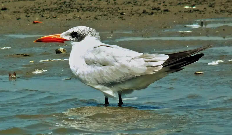
“Hydroprogne caspia, Kartong, Gambia (32740355161)” by Paul Walter / Wikimedia Commons / CC BY 2.0, mod.
Stop 2 • 2 Nights
Kartong
Kartong is the southernmost village on Gambia's Atlantic coast, about 60 kilometers from Banjul on the border river with Senegal. You come for the quiet beaches, the sacred crocodile pool Folonko, and the Kartong Bird Observatory, where British ringers operate a permanent ringing station.According to a 2009 estimate, around 5,200 people live in the village. Life here is significantly quieter than in the resorts around Kololi.
Quiet beaches, Kartong Bird Observatory in the morning, sacred crocodile pond Folonko.
2 Sights
Culture and Nature
FolonkoThe sacred crocodile pond Folonko is a pilgrimage site, especially for couples wishing for a child. Respect local rules and ask before taking photos.Kartong Bird ObservatoryIn Kartong, birds have been ringed since 1996, and there is now a permanent ringing station. Over 260 species have been recorded in the area. Shortly before sunset, according to Access Gambia, between 900 and 1,600 herons of eight species fly to their roosting site in the reeds.
Car
Back towards Brikama and east on the South Bank Road
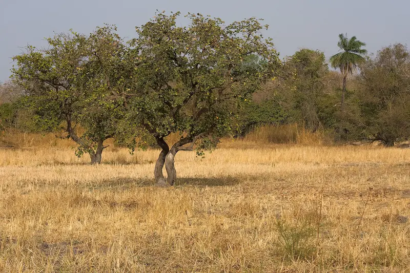
Kiang West National Park
The Kiang West National Park, on the south bank of the Gambia River, about 145 kilometers from Banjul, protects Guinea savanna, dry forest, mudflats, and mangrove creeks across 115 square kilometers. It is a peaceful destination for birdwatching; according to Wikipedia, over 300 bird species have been recorded here.The park was established in 1987; its headquarters are located in Dumbuto, about an 18-minute drive from Tendaba Camp on the riverbank, which has existed since the 1970s.
Overnight stay in Tendaba on the riverbank, birdwatching in the National Park.
Nature
HabitatsThree Bolongs, river tributaries, divide the park, the Gambia River forming its northern border. In the Jarin Bolong, according to Wikipedia, West African Manatees and Humpback Dolphins are occasionally sighted.AnimalsBesides birds, Warthogs, Bushbucks, and Sitatungas, among others, live here; predators like leopards are very shy.
Car
Continue on South Bank Road via Soma to the turn-off at Yoro Beri Kunda.
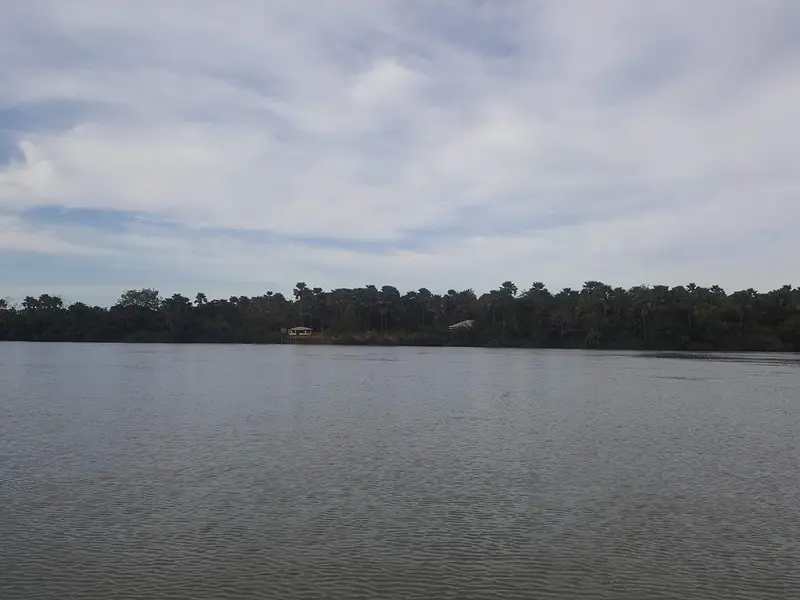
Janjanbureh
Janjanbureh, formerly Georgetown, is located on an island in the River Gambia, approximately 300 kilometers upstream from Banjul, and is the most important starting point in the interior. From here you can reach the Wassu Stone Circles, the River Gambia National Park, and take boat trips on the river.In 1823, Captain Alexander Grant founded a settlement here for freed slaves; since 1995, the town and island have carried the name Janjanbureh. On the banks, warehouses and colonial buildings recall the trading era, and a Bantang tree in the town is considered a freedom tree.
Colonial buildings and the Freedom Tree on the island. Ferry excursions to Lamin Koto for the Wassu Stone Circles and a boat trip in River Gambia National Park.
1 Sight
History
Settlement for Liberated SlavesThe island was formerly known as Lemain Island. In 1823, Captain Alexander Grant acquired it by treaty and founded Georgetown as a settlement for liberated slaves. According to the Director General of the National Centre for Arts and Culture, the island stands for freedom from slavery and played no role in the transatlantic slave trade. The warehouses on the shore, often referred to as slave houses, were built only after 1807.Festival and TraditionIn January 2026, Janjanbureh hosted the ninth Kankurang Festival, organized by the National Centre for Arts and Culture. The Kankurang is a masked figure of the Mandinka tradition.
Plan this route as your trip
All stops, trains and nights go into your trip planner. You adjust dates and places to stay afterwards.
This route is a suggestion from our research. Please check timetables, times in port, opening hours and prices before you book – what your tour operator or carrier says is what counts.
Fernweh is a free travel guide and trip planner: routes researched by people, taken over in one click, used day by day on the road. More about Fernweh
4 stops
Route Summary
Duration11 Days
Stops4 Places
TypeMixed