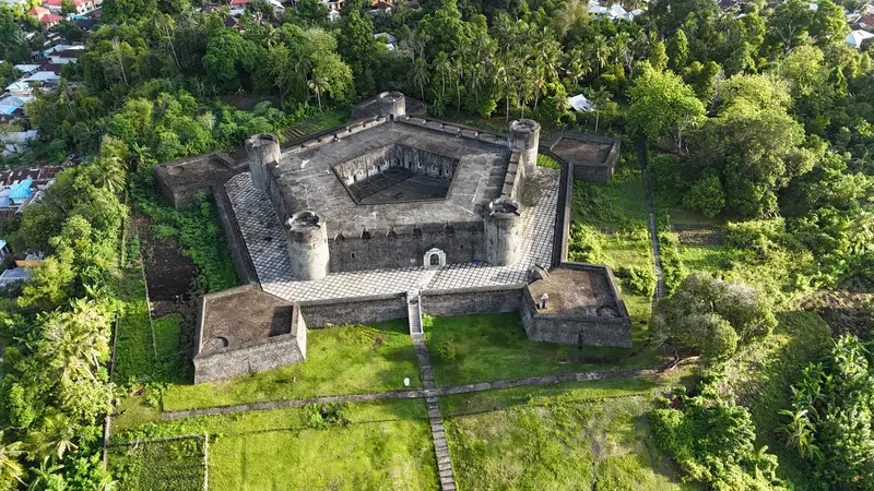
Photo by teras dondon on Pexels
Indonesia
Banda Islands (Moluccas)
Region
The Banda Islands in the Banda Sea were for centuries the sole source of nutmeg and the site of bloody colonial conflicts. Today, fortresses and plantations recall this era, and around the Gunung Api volcano lie intact coral reefs.
by Felix Gillen
The Banda Islands in the Banda Sea were for centuries the sole source of nutmeg and the site of bloody colonial conflicts. Today, fortresses and plantations recall this era, and around the Gunung Api volcano lie intact coral reefs.
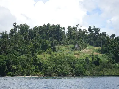
The Banda Islands are located in the Banda Sea, approximately 200 km southeast of Ambon, and consist of about ten inhabited and uninhabited islands. Its main town is Banda Neira, featuring forts and colonial houses. Opposite, the volcano Gunung Api rises, while on the larger island of Banda Besar, nutmeg trees grow in the shade of tall canarium trees. The reefs around Gunung Api, Pulau Hatta, Ai, and Run are among the best diving and snorkeling spots in the Moluccas. The islands are remote, and connections are rare and weather-dependent.
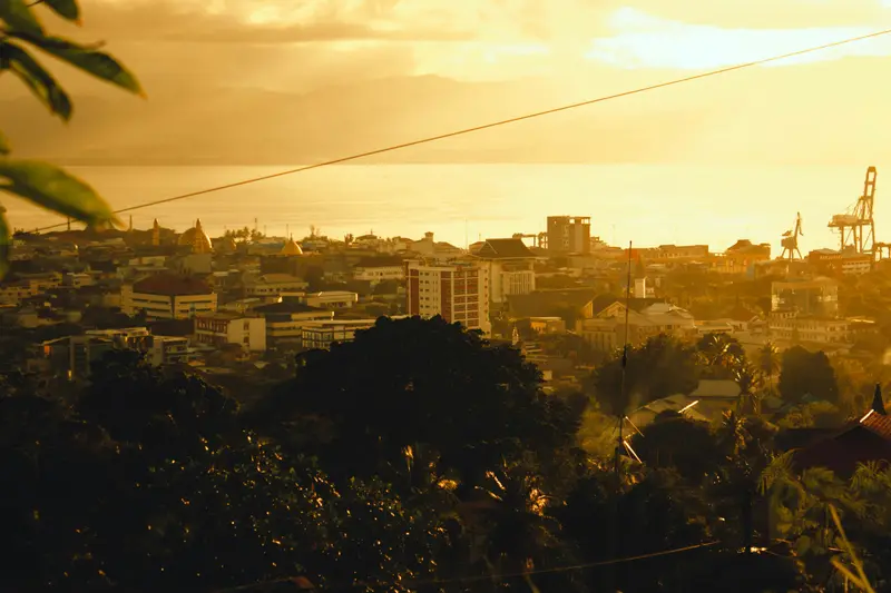
Photo by The Ian on Unsplash

WiDi / Wikimedia Commons / CC BY-SA 4.0, mod.
Food and Drink
Nutmeg
You buy nutmeg, mace, and pickled nutmeg fruit (manisan pala) directly from the farmers.
Kenari
Nuts of the Kenari trees, often processed into sweet bars.
Ikan Kuah Kuning
Fish in yellow turmeric broth, typical of the Moluccas, often with Papeda from sago.
Best Time to Visit
When is the best time for your trip?
27–28°C
From October to December and in March and April, the sea around Banda is usually calmer with less rain. From May to September, the Southeast Monsoon brings heavy rain and rough seas; June and July are the wettest, when many dive boats do not operate.
Monthly values are for Bandaneira (climate normal values 1991-2020 from the World Meteorological Organization (WMO)); for Banda, only temperature and sunshine hours are available. In nearby Ambon, June and July average 665 and 670 mm of rain, dropping to just 84 mm in November (JMA, 1991-2020). Banda sees the most sunshine in October, averaging 5.4 hours daily.
Seasons
Jan
Feb
Mar
Apr
May
Jun
Jul
Aug
Sep
Oct
Nov
Dec
Calmer sea, drier months
Northwest Monsoon, rougher seas
Passage, often calm sea
Southeast monsoon, heavy rain and swell
Best Time to Visit
▶Show detailed monthly data
| Month | Temp (°C) | Sun (h) |
|---|---|---|
| January | 27.8 | 4.3 |
| February | 27.7 | 4.3 |
| March | 27.5 | 4.5 |
| April | 27.4 | 4.0 |
| May | 27.3 | 4.2 |
| June | 26.8 | 3.9 |
| July | 26.4 | 4.1 |
| August | 26.3 | 4.8 |
| September | 26.7 | 5.0 |
| October | 27.4 | 5.4 |
| November | 27.8 | 5.2 |
| December | 27.8 | 4.1 |
Culture and History
For centuries, Banda was the sole source of nutmeg and mace. To secure this monopoly, the Dutch East India Company conquered the islands in 1621, with much of the population killed, enslaved, or displaced. Afterward, plantation owners (perkenier) cultivated the land using forced laborers. In the Treaty of Breda in 1667, England and the Netherlands exchanged the small island of Run for Manhattan. In the 1930s, future independence leaders Mohammad Hatta and Sutan Sjahrir lived here in exile.
Getting There & Around
The starting point is Ambon. From there, speedboats and Pelni ships travel to Banda Neira; schedules often change, and trips are cancelled in rough seas. Occasionally, small planes link Ambon to Banda Neira. Between the islands, longboats run, which you arrange via your accommodation. Allow for buffer time.
Nearby
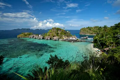
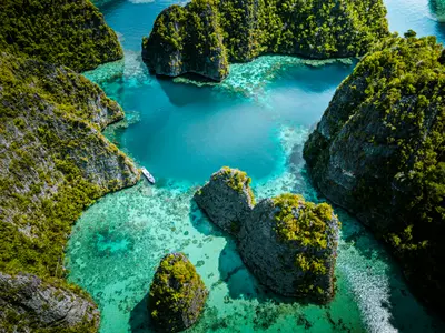
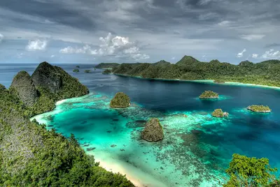
Wayag Islands
The Wayag Islands in the northwest of Raja Ampat are a labyrinth of forested karst cones in turquoise lagoons. The view from the summit of one of the rocks is the iconic view of Raja Ampat.
Bird's Head Seascape / Jones/Shimlock / Secret Sea VisionsCC BY-SA 4.0
Your next steps
Banda Islands (Moluccas) is in Indonesia. Ways to carry on from here.
More in Indonesia
Highlights, areas, routes and the best time to travel for all of Indonesia.
Indonesia travel guideRound trips in Indonesia
Ready-made routes through Indonesia, with stops, nights and a map.
See the routesPlan a trip with Banda Islands (Moluccas)
The Guide asks about season, length and who is coming, and suggests a trip with Banda Islands (Moluccas).
Plan the trip