Fernweh: Home
    ExploreTravel GuidesPlan a tripMy tripLast visited
    de|en
    All Places & RegionsAll highlightsAbout FernwehFAQPrivacy PolicyImprint
    ExploreTravel GuidesPlan a tripMy tripLast visited
    • Neighborhoods & highlights
    • Eat & drink
    • Food culture
    • Culture
    • Nightlife
    • Getting around
    • Accommodation
    • Plan trip
    • Nearby
    Nakuru
    Theo Matundura / Wikimedia Commons / CC BY-SA 4.0

    Kenya

    Nakuru

    City

    Nakuru is located approximately 160 km northwest of Nairobi on the Nairobi-Nakuru Highway and, since 2021, is Kenya's fourth chartered city.

    by Felix Gillen

    1. Home
    2. Destinations
    3. Kenya
    4. Great Rift Valley
    5. Nakuru
    Nakuru is located approximately 160 km northwest of Nairobi on the Nairobi-Nakuru Highway and, since 2021, is Kenya's fourth chartered city. For travellers, it's mainly a base for Lake Nakuru National Park, right on its doorstep, the Menengai Crater, and the prehistoric site of Hyrax Hill.The capital of Nakuru County has a vibrant, rapidly evolving nightlife scene.

    Sights in Nakuru

    Discover the most important sights and attractions
    Menengai Crater
    Attraction

    1Menengai Crater

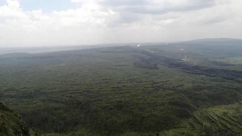
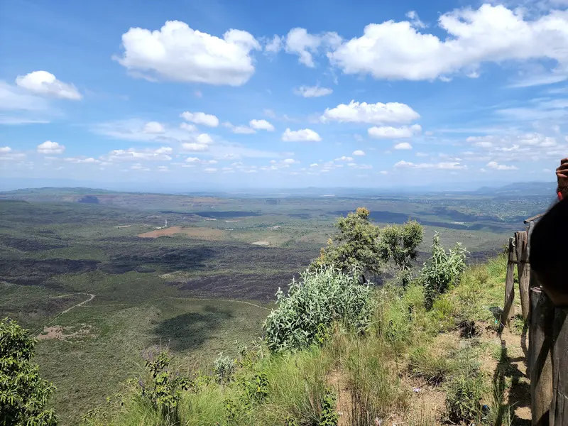
    A dormant volcano north of the city, its caldera considered Kenya's largest. From its rim, the crater drops some 480 m, with views spanning Nakuru and the surrounding area. A guide is recommended for hikes into the crater.
    Open in Google Maps
    Hyrax Hill
    Point of Interest

    2Hyrax Hill

    Prehistoric site about 8 km from the center, discovered in 1926 by the Leakeys. Regarded as a significant site from the Neolithic and Iron Ages, a small museum shows finds from the surrounding excavations.
    Open in Google Maps
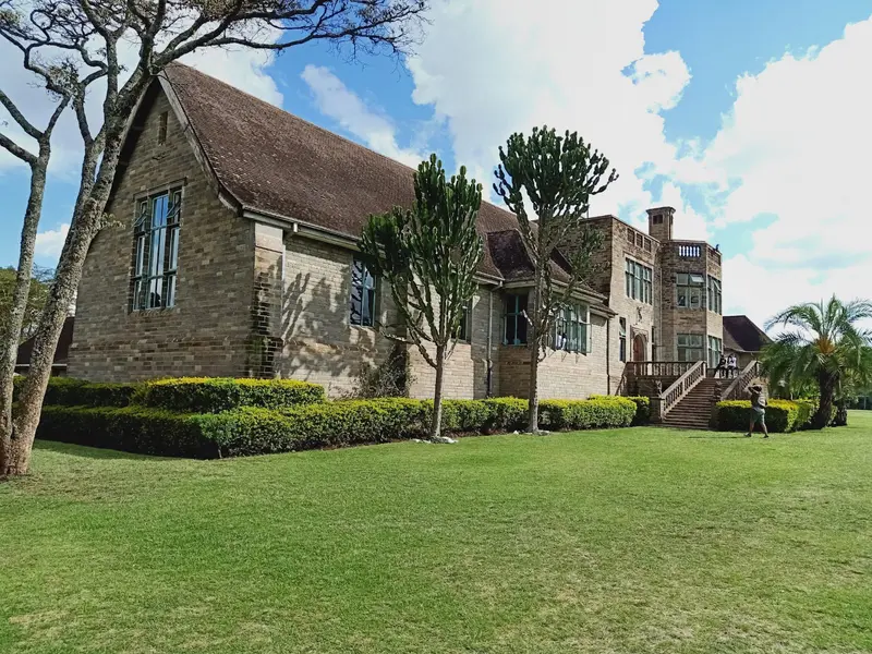
    Lord Egerton Castle
    Attraction

    3Lord Egerton Castle

    Manor house near Njoro, west of Nakuru, which Lord Maurice Egerton began building in 1938. According to legend, it was intended to impress a woman who had rejected him. Today, Egerton University operates the estate with its well-maintained garden as a visitor center.
    Open in Google Maps

    Restaurants in Nakuru

    1

    Java House Westside Mall

    Branch of the Kenyan café chain on the ground floor terrace of Westside Mall. Lonely Planet calls it probably the best place to eat in the city.
    Show on Google Maps
    2

    Planet Fries

    Old-fashioned diner downtown, serving usual chicken and Nyama Choma dishes, plus Indian options.
    Show on Google Maps

    Eating and Drinking in Nakuru

    Nakuru is a city of grill joints and simple diners, plus cafés in the shopping malls.

    Nyama Choma

    Grilled meat, a classic for social gatherings in Kenya. Along the main road, numerous grill restaurants line up.

    Chicken and Chips

    Roast chicken and fries, the standard dish of the city's simple diners, often with Indian-inspired variations.

    Ugali

    Fester Maisbrei, der in Kenia zu Fleisch und Gemüse gegessen wird.

    Coffee from Kenya

    Coffee from the Kenyan Highlands, served by cafés like Java House in Nakuru.

    The City and History

    From the Train Station to the CityNakuru became a Township in 1904 and a Municipality in 1952. In December 2021, it was granted City status, the fourth in Kenya after Nairobi, Mombasa, and Kisumu. In 2019, the city had a population of well over 570,000 residents.Prehistory at Hyrax HillAbout 8 km from the center lies Hyrax Hill, discovered in 1926 by the Leakeys and a significant archaeological site from the Neolithic and Iron Ages, with a small museum.Volcano on the DoorstepNorth of the city rises Menengai, a dormant volcano whose caldera is considered the largest in Kenya. From its rim, the crater drops about 480 m deep.

    Nightlife

    1

    Space Next Door

    Nightclub, which the local press ranks among those regularly packed on weekends.
    Show on Google Maps
    2

    Wave XO

    One of Nakuru's well-known nightclubs, according to local press, busy on weekends.
    Show on Google Maps

    Getting Here and Around

    Getting ThereNakuru is located approximately 160 km from Nairobi on the Nairobi-Nakuru Highway (A104), which also provides access to Naivasha and Lake Elmenteita. Most travelers arrive by safari vehicle or rental car.In the TownThe main thoroughfare of the town center is Kenyatta Avenue. For the National Park, Menengai Crater, and Hyrax Hill, you will need a vehicle; the distances are all short.Menengai CraterA road leads to the crater rim; for hikes into the crater, a guide is recommended.A small fee from the Forest Service may be charged at the entrance.

    Accommodations in Nakuru

    Find perfect stay in Nakuru

    Booking.com* (Affiliate link)
    Search Hotels
    Agoda* (Affiliate link)
    Search Hotels
    Airbnb
    Vacation Rentals

    * Affiliate link: if you book through it, we earn a small commission. The price stays the same for you.

    Plan your trip to Nakuru

    Save places, build a route and plan your city trip, all in one place.

    1. 1
      Sunrise over alpine peaks and a sea of clouds
      1234

      Round trip

      12 days · 4 stops

      Saved

      Pick a route

      Pick a ready-made one or save places and plan your own.

      Open bookmarks
    2. 2

      Trip to Nakuru

      Live
      • 1Menengai Crater3 days
      • 2Hyrax Hill4 days
      • 3Lord Egerton Castle5 days
      Budget

      Plan your trip

      The planner sorts stops, days and budget. Plan together in real time.

      Start trip planning
    3. 3
      9:41 No signal
      Nakuru
      Available offline

      Use it on the road

      Download the guide to your phone and use it on site, even offline.

    Nearby

    Lake Nakuru National Park

    Lake Nakuru National Park

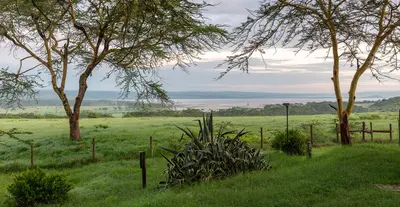
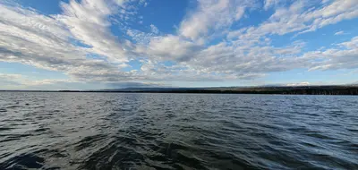
    Lake Nakuru National Park directly borders the city of Nakuru, about 160 km northwest of Nairobi, and is considered one of East Africa's most successful rhino sanctuaries, home to both white and black rhinos. The fenced park surrounding the soda lake also protects Rothschild's giraffes, lions, and leopards, as well as hundreds of bird species.The once famous flamingo flocks have become rarer and more unpredictable since rising water levels have diluted the lake.
    Lake Elmenteita

    Lake Elmenteita

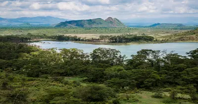
    Lake Elmenteita is a small soda lake between Naivasha and Nakuru, about 120 km northwest of Nairobi near the Nairobi-Nakuru-Highway. The lake is part of the UNESCO World Heritage Site of the Kenyan Rift Valley Lakes, attracts large flamingo flocks depending on water levels, and is the last remaining breeding ground for pelicans in Kenya.Two-thirds of its shoreline belong to the Soysambu Conservancy, a private ranch owned by the Delamere family, featuring zebras, giraffes, and gazelles.
    Great Rift Valley

    Great Rift Valley

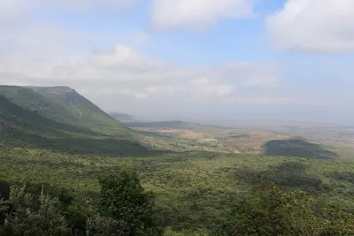
    Northwest and southwest of Nairobi, the land drops steeply into the East African Rift Valley: a chain of lakes, extinct volcanoes, and gorges, which you can reach from the capital in one to two hours by car. Lake Naivasha, Hell's Gate, Mount Longonot, and Lake Nakuru are situated close together here, making them ideal for a first safari leg or for hiking and cycling.Three of the soda lakes – Nakuru, Elmenteita, and Bogoria – have been part of the UNESCO World Heritage "Kenya Lake System in the Great Rift Valley" since 2011, one of the most important feeding grounds for the lesser flamingo worldwide.
    Naivasha

    Naivasha

    Naivasha is located approximately 93 road kilometers northwest of Nairobi on the freshwater lake of the same name. Hippos, over 400 bird species, and its proximity to Hell's Gate and Mount Longonot make the lake a popular weekend destination and the first leg of many safaris through the Rift Valley.The town itself is a bustling agricultural center, with accommodations and restaurants primarily lining Moi South Lake Road on the southern shore.
    Hell's Gate National Park

    Hell's Gate National Park

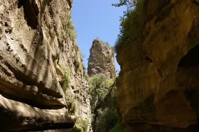
    Hell's Gate National Park lies south of Lake Naivasha, around 90 km from Nairobi, and is one of Kenya's few parks where you can explore on foot or by bike among zebras, buffaloes, and antelopes. Red cliffs, the volcanic plugs Fischer's Tower and Central Tower, and a narrow gorge define the mere 68 km² landscape.The scenery served as inspiration for the animated film "The Lion King" (1994); among other productions, "Lara Croft: Tomb Raider: The Cradle of Life" was filmed here.

    Sources & method

    • Photos: Wikimedia Commons, Google Maps. Each photo carries its credit.
    • Place data such as addresses and ratings comes from Google Maps.
    • The content is based on web research from public, traceable sources. How the content is made · The role of AI