Fernweh: Home
ExploreGuideDestinationsMy tripsMy trip
de|en
All Places & RegionsRound tripsNight trains in EuropeAll highlightsAbout FernwehFAQPrivacy PolicyImprint
Download on the App StoreGet it on Google Play
ExploreGuideDestinationsMy tripsMy trip
    • Neighborhoods & highlights
    • Eat & drink
    • Culture
    • Getting around
    • Accommodation
    • Plan trip
    • Nearby
    Borkum

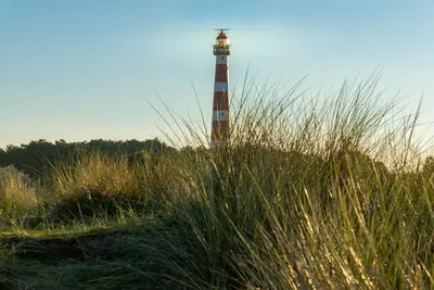
    Photo by Denise Jans on Unsplash

    Germany

    Borkum

    CityBeach

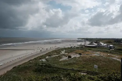
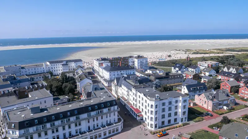
    Borkum, with approximately 31 square kilometers, is the largest and westernmost of the East Frisian Islands, located near the Dutch border at the Ems estuary.

    by Felix Gillen

    1. Home
    2. Destinations
    3. Germany
    4. North Sea Coast & Islands
    5. Borkum
    Borkum, with approximately 31 square kilometers, is the largest and westernmost of the East Frisian Islands, located near the Dutch border at the Ems estuary. Expansive sandy beaches, dunes, and a maritime climate with high humidity make it a classic family and spa destination.In the village, fences made from whale jawbones tell of the time when Borkum captains pursued whaling. Three lighthouses define the scenery, including the Old Lighthouse, built in 1576, as the island's oldest building. From the ferry terminal, the Borkumer Kleinbahn, in operation since 1888, brings you to the village.
    Germany travel guideRound trips in GermanyPlan a trip with Borkum

    Contents

    • Neighborhoods & highlights
    • Eat & drink
    • Culture
    • Getting around
    • Accommodation
    • Nearby

    Sights in Borkum

    Discover the most important sights and attractions

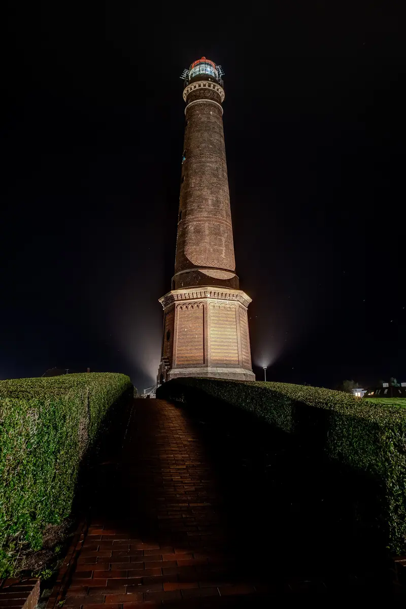
    New Lighthouse

    Dietmar Rabich / Wikimedia Commons / CC BY-SA 4.0, mod.

    Historic Landmark

    1New Lighthouse

    Built in 1879, the brick tower stands 60.3 meters tall and is the island's landmark. Ascend 308 steps to reach the observation deck with views over the town, beach, and North Sea. Opening hours vary seasonally; the tower remains closed in bad weather. Admission for adults is 4 Euros.
    Open in Google Maps
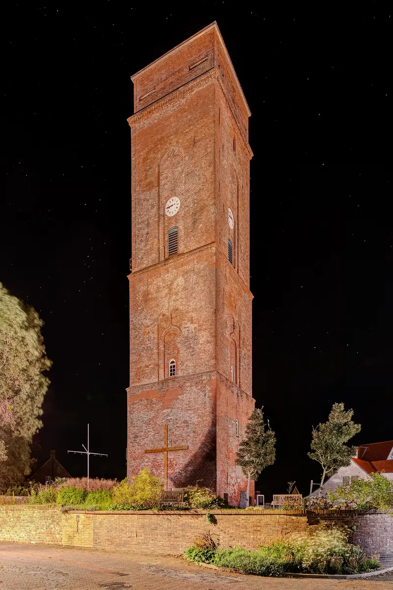
    Old Lighthouse

    Dietmar Rabich / Wikimedia Commons / CC BY-SA 4.0, mod.

    Historic Landmark

    2Old Lighthouse

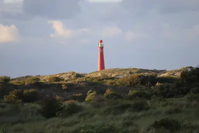
    Emden built an approx. 40-meter-high tower in 1576 as a day beacon. In 1817, the Kingdom of Hanover converted it into a lighthouse. It is Borkum's oldest building and shapes the old village center; you can climb the New Lighthouse instead.
    Open in Google Maps
    Museum

    3Lightship Borkumriff

    The decommissioned lightship is in the New Harbour and has served since 1989 as the information center for the Lower Saxony Wadden Sea National Park. It is open year-round.
    Open in Google Maps
    Museum

    4Dykhus Heritage Museum and Walzäune

    The Heimatmuseum by the Old Lighthouse tells the island's story; its entrance is framed by whale jawbones. Nearby are whalebone fences, including the one at the former home of whaling commander Roelof Gerritz Meyer, all reminders of Borkum's whaling era.
    Open in Google Maps

    Restaurants in Borkum

    Whaling and Lighthouses

    Commanders and Whale BonesBorkum's captains and sailors formerly served on whaling ships. Reminders of this are the whale jawbone fences in town, for example at the former house of whaling commander Roelof Gerritz Meyer, and the Dykhus local history museum.Three LighthousesThe Old Lighthouse dates back to a navigation mark from 1576 and is the island's oldest building; the New Lighthouse from 1879 is accessible. The cast-iron Electric Lighthouse from 1890 has been out of service since August 2003 and now carries a radar antenna.

    Getting to and around Borkum

    Getting ThereFrom Emden: The AG Ems car ferry takes about two hours to Borkum; the catamaran takes approximately one hour.From Eemshaven (Netherlands): Depending on the season, several departures daily. The ferry takes approx. 50 minutes, the catamaran approx. 25 minutes.On the IslandFrom the ferry terminal in the southeast, the Borkumer Kleinbahn takes you to the town. This narrow-gauge railway has been in operation since 1888 and is Lower Saxony's only double-track narrow-gauge line. Within the town and on the beach, you get around on foot or by bike.

    Accommodations in Borkum

    Find perfect stay in Borkum

    Booking.com* (Affiliate link)
    Search Hotels
    Agoda* (Affiliate link)
    Search Hotels
    Airbnb
    Vacation Rentals

    * Affiliate link: if you book through it, we earn a small commission. The price stays the same for you.

    Campgrounds in Borkum

    Find perfect campground in Borkum

    Search via Google Maps
    Campgrounds nearby (15km)
    Camping.info
    Find Campgrounds
    Park4Night
    RV Parks & Camping

    Plan your trip to Borkum

    Save places, build a route and plan your city trip, all in one place.

    1. 1
      Sunrise over alpine peaks and a sea of clouds
      1234

      Round trip

      12 days · 4 stops

      Saved

      Pick a route

      Pick a ready-made one or save places and plan your own.

      Open bookmarks
    2. 2

      Trip to Borkum

      Live
      • 1New Lighthouse3 days
      • 2Old Lighthouse4 days
      • 3Lightship Borkumriff5 days
      Budget

      Plan your trip

      The planner sorts stops, days and budget. Plan together in real time.

      Start trip planning
    3. 3
      9:41 No signal
      Borkum
      Available offline

      Photo by Denise Jans on Unsplash

      Use it on the road

      Download the guide to your phone and use it on site, even offline.

    Nearby

    Norderney

    Norderney

    Norderney, covering 26.29 square kilometers, is the second-largest East Frisian Island and Germany's oldest North Sea resort: In 1797, the first Royal Prussian seaside resort on the German North Sea coast was founded here. The ferry departs from the pier in Norddeich.Along its northern side stretches an approximately 14-kilometer-long sandy beach. In the island's center stands the nearly 60-meter-high lighthouse, and at the Weiße Düne, the Walter-Großmann-Düne reaches the island's highest natural point at 24.4 meters.

    Daniel Pool·Pexels

    Schiermonnikoog

    Schiermonnikoog

    Schiermonnikoog lies in the Wadden Sea off Friesland's coast and is car-free: visitors park in Lauwersoog on the mainland. The island has been a National Park since 1988, the surrounding Wadden Sea a UNESCO World Heritage site since 2009.The National Park visitor center is located in an old lighthouse in the village; the Schiere Monnik statue also stands there.

    Rudolphous·CC BY-SA 4.0

    Province Groningen

    Province Groningen

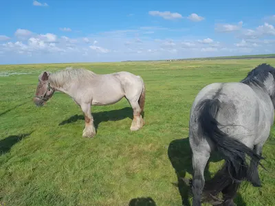
    The Province of Groningen is the northeasternmost of the Netherlands and borders the Wadden Sea to the north, and Ostfriesland and Emsland to the east. Its center is the university city of Groningen with its old town.The area surrounding the city, the Ommelande, is flat and expansive. Old villages are located there on *Warften*, artificially raised mounds.

    JakobHosp·CC BY 4.0

    Groningen

    Groningen

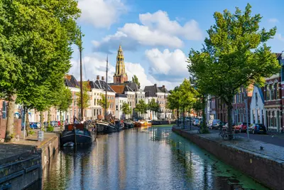
    Groningen is the capital of the eponymous province in the north of the Netherlands, about 75 kilometres west of Leer in East Frisia. Come for a university city with a car-free centre around Grote Markt and Vismarkt, for the Martinikerk with its tower, and for the Groninger Museum, whose 1994 building was co-designed by several designers.

    Rick van Houten·Unsplash

    Ameland

    Ameland

    Ameland is located in the UNESCO World Heritage Wadden Sea off the coast of Friesland. The car ferry from Holwerd docks in Nes, the island's main village with a nature center.In Hollum, the Sorgdrager Museum, featuring whalers' gravestones, commemorates the whaling era; the Reddingsmuseum Abraham Fock showcases the history of maritime rescue with lifeboats.

    Ylanite Koppens·Pexels

    Your next steps

    Borkum is in Germany. Ways to carry on from here.

    • More in Germany

      Highlights, areas, routes and the best time to travel for all of Germany.

      Germany travel guide
    • Round trips in Germany

      Ready-made routes through Germany, with stops, nights and a map.

      See the routes

    Sources & method

    • Photos: Wikimedia Commons, Unsplash. Each photo carries its credit.
    • Place data such as addresses and ratings comes from Google Maps.
    • The content is based on web research from public, traceable sources. How the content is made · The role of AI