Fernweh: Home
ExploreGuideDestinationsMy tripsMy trip
de|en
All Places & RegionsRound tripsNight trains in EuropeAll highlightsAbout FernwehFAQPrivacy PolicyImprint
Download on the App StoreGet it on Google Play
ExploreGuideDestinationsMy tripsMy trip
    • Places in the region
    • Culture
    • Getting around
    • Nearby
    Isla Margarita

    Wilfredor / Wikimedia Commons / CC0

    Venezuela

    Isla Margarita

    Region

    For this area, the FCDO advises against travel unless it is essential. Check the FCDO travel advice, linked on the country page, before planning.

    by Felix Gillen

    1. Home
    2. Destinations
    3. Venezuela
    4. Isla Margarita
    For this area, the FCDO advises against travel unless it is essential. Check the FCDO travel advice, linked on the country page, before planning.At around 1,020 km², Isla Margarita is Venezuela's largest Caribbean island and, together with Coche and Cubagua, forms the state of Nueva Esparta. Beaches such as Playa El Agua in the north-east and the windsurfing spot of El Yaque in the south, colonial-era forts and the mangrove lagoon of La Restinga make it the country's classic beach destination.The capital is La Asunción, the largest town Porlamar, with Santiago Mariño airport nearby. Since late June 2026 the car ferry from Puerto La Cruz has been running to the island again.
    Venezuela travel guideRound trips in VenezuelaPlan a trip with Isla Margarita

    Contents

    • Places in the region
    • Culture
    • Getting around
    • Nearby

    Sights in Isla Margarita

    Discover the most important sights and attractions
    Attraction

    Playa El Agua

    The long beach on the northeast coast is considered the island's most popular. Nearby are a water park and a surf beach, Playa Parguito.
    Open in Google Maps
    Attraction

    Playa El Yaque

    The south coast beach near the airport is internationally known as a windsurf and kitesurf spot: few waves, strong, steady wind.
    Open in Google Maps
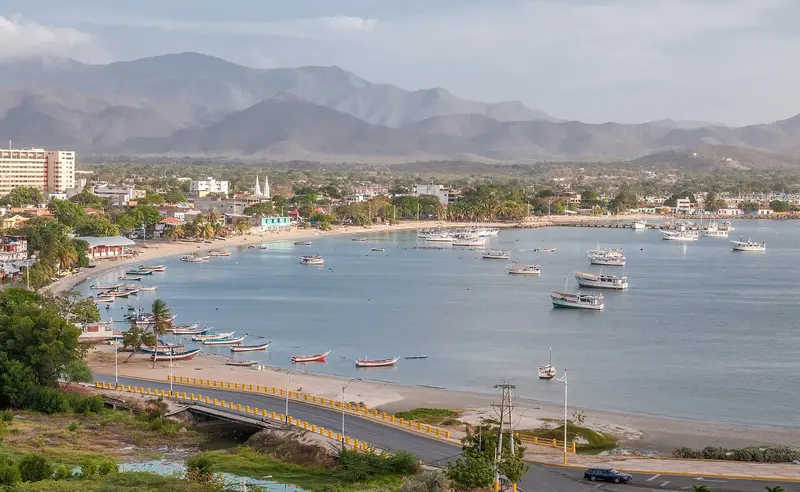
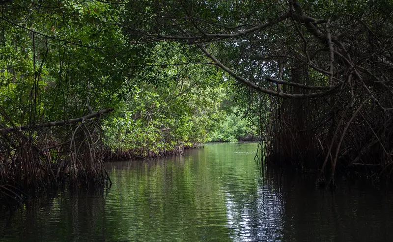
    National Park Lagoon de La Restinga

    Wilfredor / Wikimedia Commons / CC0

    National Park Lagoon de La Restinga

    The lagoon between the eastern part of the island and the Macanao Peninsula has been a National Park since 1974 and a Ramsar Wetland since 1996. Boats take visitors through channels in the mangrove forest to the long sandbar on the open sea.
    Open in Google Maps
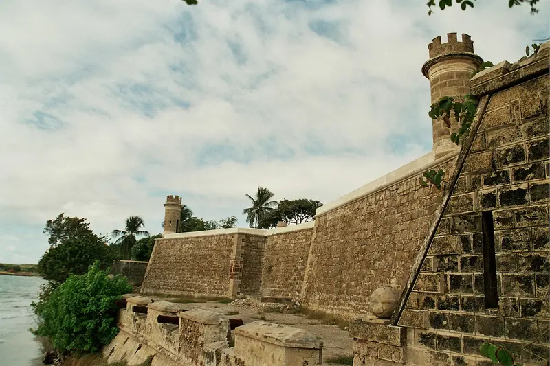
    Castillo de San Carlos Borromeo

    Wilfredor / Wikimedia Commons / CC0

    Castillo de San Carlos Borromeo

    The star-shaped coral stone fortress is located right on Pampatar's shore. Its construction began in 1664 after the Dutch destroyed the previous structure, and today it is a museum.
    Open in Google Maps

    Festivals and food

    Virgen del ValleThe basilica of El Valle del Espíritu Santo is dedicated to the Virgen del Valle, whose image, according to tradition, came from the neighbouring island of Cubagua after a hurricane in 1542. The main feast is on 8 September, with celebrations also in early September and on 8 December.Island cuisineTypical is pabellón margariteño, made with shredded cazón, a small shark, instead of beef, along with cazón empanadas and pasteles and fried fish such as pargo or carite with arepa.

    Getting there and around

    Check the FCDO travel advice for this area before planning.Getting thereFlights to Santiago Mariño airport near Porlamar.Car ferry from Puerto La Cruz: after maintenance from January 2025, it has been running again since 26 June 2026; tickets are sold online.On the islandThe island covers around 1,020 km²; Porlamar, Pampatar and La Asunción lie close together in the east, Juangriego on the north coast and El Yaque in the south near the airport.

    Nearby

    Nationalpark Mochima

    Nationalpark Mochima

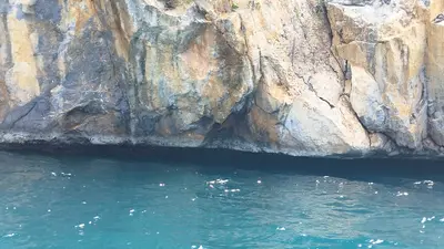
    For this area, the FCDO advises against travel unless it is essential. Check the FCDO travel advice, linked on the country page, before planning.Founded in 1973, Mochima National Park protects around 950 km² of coast, bays and islands between Puerto La Cruz and Cumaná; a good half of it is sea. Boat trips to island beaches such as Playa Blanca and Isla de Plata and snorkelling in clear water are the reasons to come.The western part belongs to Anzoátegui state, the eastern part to Sucre. Gateways are Puerto La Cruz, the village of Mochima and Santa Fe.

    Warairarepano&Guaicaipuro·CC0

    Grand Anse

    Grand Anse

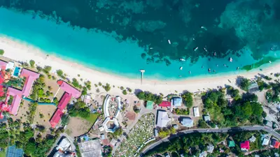
    Grand Anse is Grenada's most famous beach, a curved sandy stretch about three kilometers long, south of St. George's. Here and at the adjacent bays up to Point Salines, you'll find most of the island's accommodations and beachside restaurants.What to ExpectSwimming, beachside restaurants, and short distances to the capital make Grand Anse the most convenient base for a Grenada vacation. Dive and snorkel boats depart for the Underwater Sculpture Park in Moliniere Bay north of St. George's, and at Magazine Beach near the airport, you'll find a well-known beach restaurant.

    Hugh Whyte·Unsplash

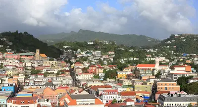
    St. George's

    St. George's

    St. George's is the capital of Grenada and is located on a horseshoe-shaped natural harbour in the southwest of the island. Colourful houses with red tiled roofs stretch up the hillside from the Carenage harbour basin, above which tower Fort George and Fort Frederick.What to expectAt the Carenage, fishing boats lie at the quay, and in the Grenada National Museum, a former 18th-century French barracks, you'll discover the island's history. At Market Square, you can buy nutmeg, mace, and fruit; it's liveliest on Saturdays.

    Martin Falbisoner·CC BY-SA 4.0

    Underwater Sculpture Park Moliniere

    The Underwater Sculpture Park in Moliniere Bay, north of St. George's, is a popular diving and snorkeling destination in Grenada. Sculptor Jason deCaires Taylor submerged the first figures here in 2006; today, around 75 works stand at a depth of 5 to 8 meters.What to ExpectThe most famous work is 'Vicissitudes,' a circle of children holding hands. In 2023, 27 new works were added, including 'The Coral Carnival.' The park is located in the Moliniere-Beausejour Marine Protected Area, for which fees apply.
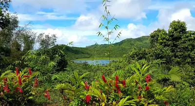
    Grand Etang National Park

    Grand Etang National Park

    Grand Etang National Park protects the rainforest in Grenada's mountainous interior, about a 20 to 30-minute drive from St. George's. Its centerpiece is Grand Etang Lake, a crater lake of an extinct volcano at 530 m elevation.What to expectHiking trails lead around the lake, to the 713 m high Mount Qua Qua, and to the Seven Sisters Falls. At the visitor center and viewpoint, you often see Mona monkeys, whose ancestors arrived on slave ships from West Africa in the 18th century.

    Jerzy Bereszko·CC BY-SA 4.0

    Your next steps

    Isla Margarita is in Venezuela. Ways to carry on from here.

    • More in Venezuela

      Highlights, areas, routes and the best time to travel for all of Venezuela.

      Venezuela travel guide
    • Round trips in Venezuela

      Ready-made routes through Venezuela, with stops, nights and a map.

      See the routes
    • Plan a trip with Isla Margarita

      The Guide asks about season, length and who is coming, and suggests a trip with Isla Margarita.

      Plan the trip
    Sources & method

    • Photos: Wikimedia Commons. Each photo carries its credit.
    • Place data such as addresses and ratings comes from Google Maps.
    • The content is based on web research from public, traceable sources. How the content is made · The role of AI