Fernweh: Home
ExploreGuideDestinationsMy tripsMy trip
de|en
All Places & RegionsRound tripsNight trains in EuropeAll highlightsAbout FernwehFAQPrivacy PolicyImprint
Download on the App StoreGet it on Google Play
ExploreGuideDestinationsMy tripsMy trip
    • Places in the region
    • Culture
    • Getting around
    • Nearby
    Boa Vista

    Photo by Nick Fewings on Unsplash

    Cape Verde

    Boa Vista

    Region

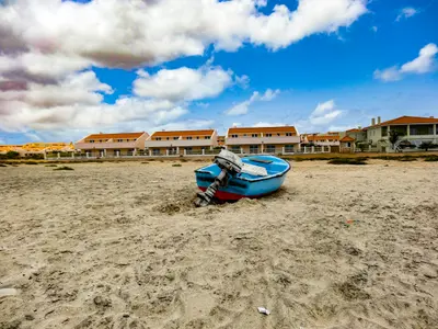
    The third-largest island of Cape Verde (around 631 km²) is characterized by sand dunes and long, often deserted beaches.

    by Felix Gillen

    1. Home
    2. Destinations
    3. Cape Verde
    4. Boa Vista
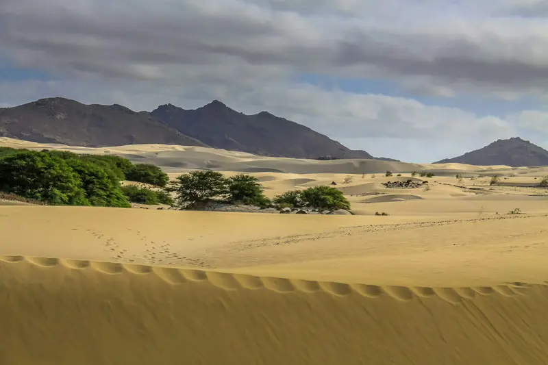
    The third-largest island of Cape Verde (around 631 km²) is characterized by sand dunes and long, often deserted beaches. In the northwest lies the main town Sal Rei, on the north coast the wreck of the Cabo Santa Maria, and inland the dune landscape Deserto de Viana. The island's beaches are important nesting sites for the loggerhead sea turtle.
    Cape Verde travel guideRound trips in Cape VerdePlan a trip with Boa Vista

    Contents

    • Places in the region
    • Culture
    • Getting around
    • Nearby

    More places in Boa Vista

    Sal Rei

    Christian Pirkl·CC BY-SA 4.0

    Sal Rei

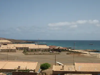
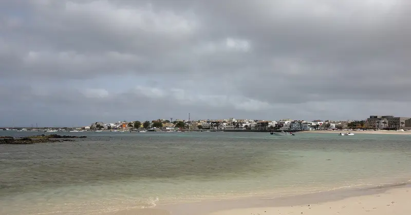
    The main town of Boa Vista is located on a bay in the northwest of the island, about 5 km northwest of the airport. Off the coast lies the uninhabited Ilhéu de Sal Rei, the largest of the small islands surrounding Boa Vista. From here, you can reach Praia de Chaves to the south and the dunes of Deserto de Viana to the east within a few kilometres.

    Sights in Boa Vista

    Discover the most important sights and attractions

    Desert of Viana

    Ingo Wölbern / Wikimedia Commons / public domain

    Natural Feature

    Desert of Viana

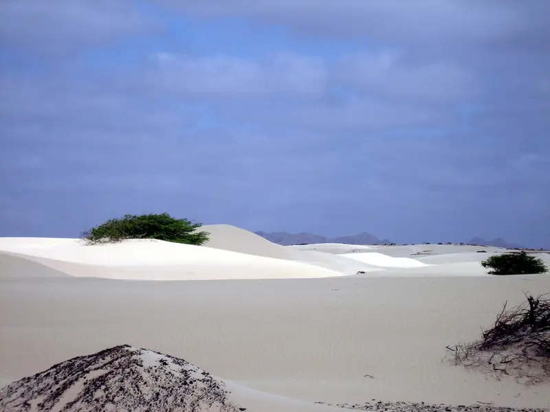
    The dune desert in the northwest of the island lies east of Rabil and Sal Rei and is one of the most famous excursion destinations on Boa Vista. It is not a protected area itself, but borders the Boa Esperança Nature Reserve with the Rabil Lagoon and Praia de Atalanta.
    Open in Google Maps
    Attraction

    Praia de Chaves

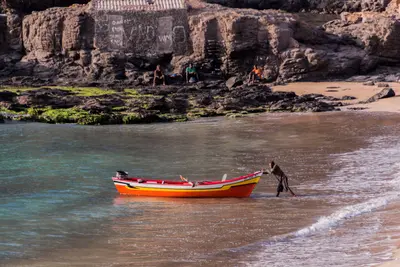
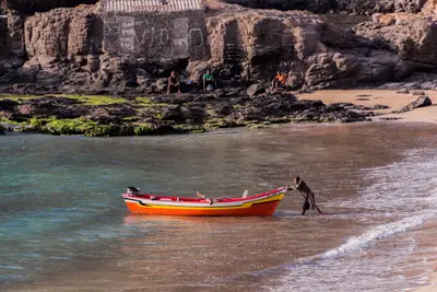
    One of the island's top beaches, on the west coast south of Sal Rei. Like many Boa Vista beaches, it's a Loggerhead Sea Turtle nesting site.
    Open in Google Maps
    Beach

    Beach of Santa Mónica

    The long sandy beach in the southwest of the island borders the Morro de Areia Nature Reserve, an important area for sea turtles and endemic birds.
    Open in Google Maps
    Wreck of the Cabo Santa Maria

    Ximonic (Simo Räsänen) / Wikimedia Commons / CC BY-SA 4.0, mod.

    Wreck of the Cabo Santa Maria

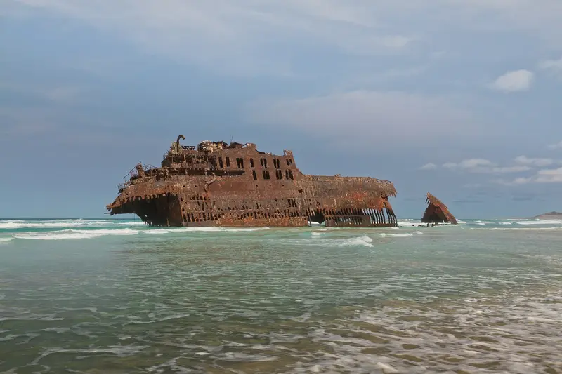
    The Spanish freighter ran aground on a sandbank on September 1, 1968, during its voyage from Tenerife to Rio de Janeiro, in Salinas Bay on the north coast; all 37 crew members were rescued. The rusting hull still lies off Praia de Atalanta and is a regular stop on island tours. You should not enter the wreck.
    Open in Google Maps

    History and Nature

    Old SettlementsPovoação Velha, located inland, was Boa Vista's first settlement, and its church, Nossa Senhora da Conceição, was completed in 1828. In Rabil, southeast of Sal Rei, a pottery school preserves traditional craftsmanship. To the southeast lie the ruins of the abandoned village of Curral Velho.Turtles and WhalesBoa Vista's beaches are vital nesting sites for loggerhead sea turtles: females lay their eggs from approximately June to October, and hatchlings emerge from around August to December. Guided observations are available during the season. Sal Rei Bay is also an important area where humpback whales give birth to and nurse their calves in winter and spring. Nature reserves like Boa Esperança in the north and Morro de Areia in the southwest protect dunes, lagoons, and beaches.

    Arrival and exploring

    Getting ThereAristides Pereira Airport (BVC) is located approximately 5 km southeast of Sal Rei and has been internationally connected since 2007.On the IslandMostly, only the main roads are paved; off-road, you'll encounter cobblestones and sand tracks. For the wreck, desert, and remote beaches in the south, you'll need an off-road vehicle or a guided tour.Shared minibuses (Aluguer) and licensed taxis connect the towns.

    Nearby

    Santa Maria

    Santa Maria

    The town at the southern tip of Sal originated in 1830 as a settlement for salt production; the salt was then transported by narrow-gauge railway to a pier and shipped. In 1967, the Morabeza, the first beach hotel in Cape Verde, opened here. Today, Santa Maria is the island's tourist hub, with a long sandy beach, hotels, restaurants, and water sports centers.

    Dielemans Photos·Unsplash

    Sal

    Sal

    The flat, dry island in the east of the archipelago is the most important holiday destination in Cape Verde. It is named after the salt that was extracted here for centuries, for example, in the volcanic crater of Pedra de Lume. Today, it's primarily the long sandy beach of Santa Maria in the south and the constant wind that attract beachgoers and watersports enthusiasts; at the airport near Espargos where most international flights to the country land.

    Ingo Wölbern·public domain

    Tarrafal

    Tarrafal

    Tarrafal is a fishing village in the northwest of Santiago at the foot of the 643-meter-high Monte Graciosa. The bay with golden sand is one of the island's most famous swimming spots and popular with snorkelers and divers.Approximately 1.5 kilometers south, in Chão Bom, lies the former Tarrafal camp, which the Salazar regime had built in 1936; today it is the Museu da Resistência and is on the UNESCO Tentative List. On the way from Praia are the Serra Malagueta Natural Park and Assomada with the island's largest market.

    Thomas Schwaak·Pexels

    Santiago

    Santiago

    Santiago is the largest island of Cape Verde, with its capital, Praia, in the south. About 10 km west of it, in 1462, the Portuguese founded Ribeira Grande, today's Cidade Velha, the archipelago's first settlement, a UNESCO World Heritage site since 2009. The island is the country's political centre and a good starting point for cultural excursions beyond the beach resorts.

    Thomas Schwaak·Pexels

    Praia

    Praia is the capital of Cape Verde; its municipality, with about 141,000 inhabitants in the 2021 census, is the country's largest. The historic center, the Plateau, sits on a table mountain, its streets grid-patterned in the 19th century.The Plateau features Alexandre Albuquerque Square, the Old Town Hall, and the late 19th-century Presidential Palace; its historic center has been on UNESCO's Tentative List since 2016. Below are the large Sucupira Market and several city beaches. The World Heritage site Cidade Velha lies west of the city, along the coast.

    Your next steps

    Boa Vista is in Cape Verde. Ways to carry on from here.

    • More in Cape Verde

      Highlights, areas, routes and the best time to travel for all of Cape Verde.

      Cape Verde travel guide
    • Round trips in Cape Verde

      Ready-made routes through Cape Verde, with stops, nights and a map.

      See the routes
    • Plan a trip with Boa Vista

      The Guide asks about season, length and who is coming, and suggests a trip with Boa Vista.

      Plan the trip

    Sources & method

    • Photos: Wikimedia Commons, Unsplash. Each photo carries its credit.
    • Place data such as addresses and ratings comes from Google Maps.
    • The content is based on web research from public, traceable sources. How the content is made · The role of AI