Fernweh: Home
ExploreGuideDestinationsMy tripsMy trip
de|en
All Places & RegionsRound tripsNight trains in EuropeAll highlightsAbout FernwehFAQPrivacy PolicyImprint
Download on the App StoreGet it on Google Play
ExploreGuideDestinationsMy tripsMy trip
    • Places in the region
    • Culture
    • Getting around
    • Round trips
    • Nearby
    Sal

    Ingo Wölbern / Wikimedia Commons / public domain

    Cape Verde

    Sal

    Region

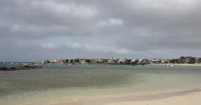
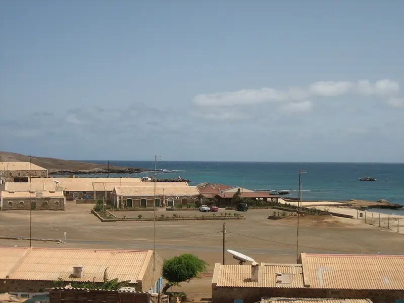
    The flat, dry island in the east of the archipelago is the most important holiday destination in Cape Verde. It is named after the salt that was extracted here for centuries, for example, in the volcanic crater of Pedra de Lume.

    by Felix Gillen

    1. Home
    2. Destinations
    3. Cape Verde
    4. Sal
    The flat, dry island in the east of the archipelago is the most important holiday destination in Cape Verde. It is named after the salt that was extracted here for centuries, for example, in the volcanic crater of Pedra de Lume. Today, it's primarily the long sandy beach of Santa Maria in the south and the constant wind that attract beachgoers and watersports enthusiasts; at the airport near Espargos where most international flights to the country land.
    Cape Verde travel guideSee the round tripPlan a trip with Sal

    Contents

    • Places in the region
    • Culture
    • Getting around
    • Round trips
    • Nearby

    More places in Sal

    Santa Maria

    Dielemans Photos·Unsplash

    Santa Maria

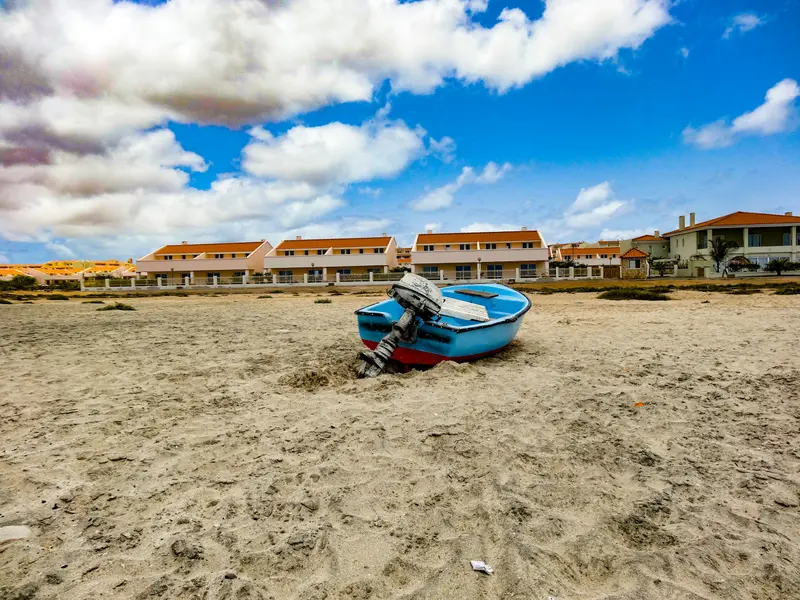
    The town at the southern tip of Sal originated in 1830 as a settlement for salt production; the salt was then transported by narrow-gauge railway to a pier and shipped. In 1967, the Morabeza, the first beach hotel in Cape Verde, opened here. Today, Santa Maria is the island's tourist hub, with a long sandy beach, hotels, restaurants, and water sports centers.

    Sights in Sal

    Discover the most important sights and attractions

    Salinas de Pedra de Lume

    Die Salinen liegen im Krater eines erloschenen Vulkans an der Ostküste. Ab 1796 wurde hier Salz abgebaut, 1804 entstand ein Tunnel durch den Kraterrand, 1921 eine 1.100 Meter lange Materialseilbahn zum Hafen; die Produktion endete 1984. Heute lässt du dich im stark salzhaltigen Wasser der Becken treiben; der Eintritt ist kostenpflichtig, Süßwasserduschen gibt es gegen Münzen. Halte das Gesicht aus dem Wasser, Salzlake brennt in den Augen, und Badeschuhe schützen vor den scharfen Kristallen. Die Salinen sind mit dem Monte Cagarral als Schutzlandschaft ausgewiesen.
    Open in Google Maps
    Attraction

    Buracona with the “Blue Eye”

    On the rugged west coast north of Palmeira, seawater flows into a collapsed lava tube that opens to the sea and upwards. When sunlight hits at the right angle, the water inside glows deep blue: This “Blue Eye” reveals itself only for a brief window around midday, so plan your visit accordingly.
    Open in Google Maps

    Salt and Sea Turtles

    Salt IslandSalt mining shaped Sal for over two centuries: From 1796, salt was extracted from the crater of Pedra de Lume, and in 1830 Santa Maria was established as a salt settlement. Both salt pans ceased production in 1984 and are now protected.Sea TurtlesCape Verde is the world's largest nesting site for loggerhead sea turtles, and Sal hosts the country's second-largest colony after Boa Vista. Females lay their eggs from late June to October, with a peak in August; hatchlings emerge from late August to early December.At night, you may only enter designated nesting sites during the season with a certified guide.No lights, no flash, do not touch animals or nests.

    Getting there & around

    Getting ThereAmílcar Cabral Airport (SID) near Espargos is the country's busiest; Italy began construction in 1939, and Portugal completed it in 1949.The island's main port is Palmeira on the west coast.On the IslandRoads on Sal are mostly paved.Use licensed taxis. Shared minibuses (Aluguer) are cheaper, departing without a fixed schedule once full.

    Round trips through this region

    Island hopping: Sal, Santiago, Fogo, São Vicente and Santo Antão

    Island hopping: Sal, Santiago, Fogo, São Vicente and Santo Antão

    The tour combines beach days on Sal with the capital island Santiago, the volcano on Fogo, the cultural city Mindelo and the hiking valleys of Santo Antão. Between the islands, travel is by domestic flights with Cabo Verde Airlines (approx. 30 to 50 minutes), the ferry from Praia to Fogo (three to four hours) and the ferry from Mindelo to Porto Novo (approx. one hour).

    15 Days
    6 stops

    Ingo Wölbern·public domain

    Nearby

    Sal Rei

    Sal Rei

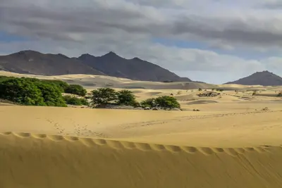
    The main town of Boa Vista is located on a bay in the northwest of the island, about 5 km northwest of the airport. Off the coast lies the uninhabited Ilhéu de Sal Rei, the largest of the small islands surrounding Boa Vista. From here, you can reach Praia de Chaves to the south and the dunes of Deserto de Viana to the east within a few kilometres.

    Christian Pirkl·CC BY-SA 4.0

    Boa Vista

    Boa Vista

    The third-largest island of Cape Verde (around 631 km²) is characterized by sand dunes and long, often deserted beaches. In the northwest lies the main town Sal Rei, on the north coast the wreck of the Cabo Santa Maria, and inland the dune landscape Deserto de Viana. The island's beaches are important nesting sites for the loggerhead sea turtle.

    Nick Fewings·Unsplash

    Tarrafal

    Tarrafal

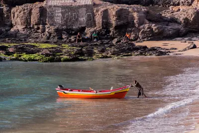
    Tarrafal is a fishing village in the northwest of Santiago at the foot of the 643-meter-high Monte Graciosa. The bay with golden sand is one of the island's most famous swimming spots and popular with snorkelers and divers.Approximately 1.5 kilometers south, in Chão Bom, lies the former Tarrafal camp, which the Salazar regime had built in 1936; today it is the Museu da Resistência and is on the UNESCO Tentative List. On the way from Praia are the Serra Malagueta Natural Park and Assomada with the island's largest market.

    Thomas Schwaak·Pexels

    Santiago

    Santiago

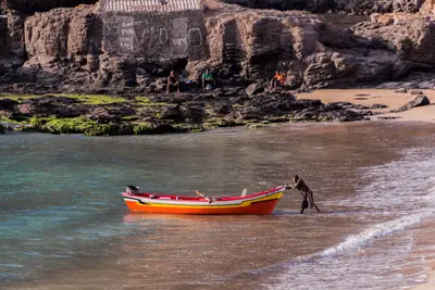
    Santiago is the largest island of Cape Verde, with its capital, Praia, in the south. About 10 km west of it, in 1462, the Portuguese founded Ribeira Grande, today's Cidade Velha, the archipelago's first settlement, a UNESCO World Heritage site since 2009. The island is the country's political centre and a good starting point for cultural excursions beyond the beach resorts.

    Thomas Schwaak·Pexels

    Praia

    Praia is the capital of Cape Verde; its municipality, with about 141,000 inhabitants in the 2021 census, is the country's largest. The historic center, the Plateau, sits on a table mountain, its streets grid-patterned in the 19th century.The Plateau features Alexandre Albuquerque Square, the Old Town Hall, and the late 19th-century Presidential Palace; its historic center has been on UNESCO's Tentative List since 2016. Below are the large Sucupira Market and several city beaches. The World Heritage site Cidade Velha lies west of the city, along the coast.

    Your next steps

    Sal is in Cape Verde. Ways to carry on from here.

    • More in Cape Verde

      Highlights, areas, routes and the best time to travel for all of Cape Verde.

      Cape Verde travel guide
    • Round trips with Sal

      One route passes through Sal, with stops, nights and a map.

      See the round trip
    • Plan a trip with Sal

      The Guide asks about season, length and who is coming, and suggests a trip with Sal.

      Plan the trip

    Sources & method

    • Photos: Wikimedia Commons. Each photo carries its credit.
    • Place data such as addresses and ratings comes from Google Maps.
    • The content is based on web research from public, traceable sources. How the content is made · The role of AI