Fernweh: Home
    ExploreTravel GuidesPlan a tripMy tripLast visited
    de|en
    All Places & RegionsAll highlightsAbout FernwehFAQPrivacy PolicyImprint
    ExploreTravel GuidesPlan a tripMy tripLast visited
    • Neighborhoods & highlights
    • Recommendations
    • Walking tours
    • Eat & drink
    • Food culture
    • Culture
    • Getting around
    • Accommodation
    • Plan trip
    • Nearby

    Morocco

    City

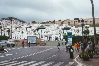
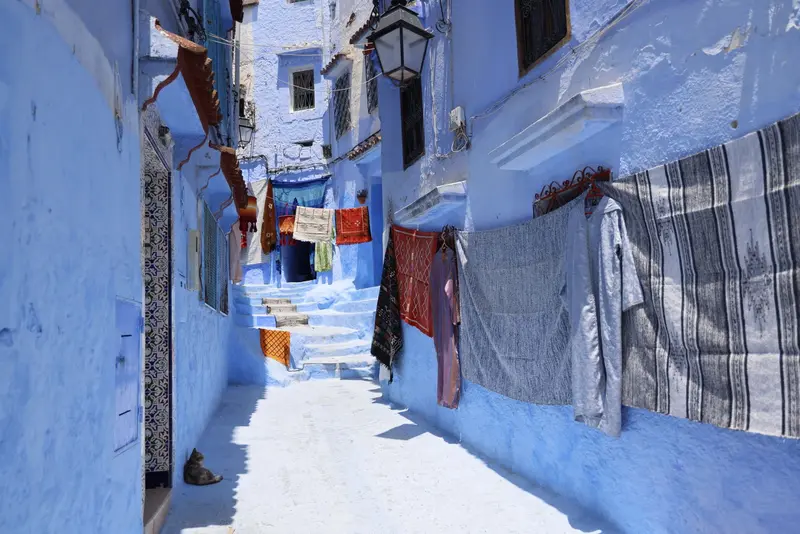
    Chefchaouen, located in the Rif Mountains, is known for its blue-washed houses and medina alleys. Founded in 1471 as a fortress, the city today has about 46,000 residents.

    by Felix Gillen

    1. Home
    2. Destinations
    3. Morocco
    4. Tangier & the North
    Chefchaouen, located in the Rif Mountains, is known for its blue-washed houses and medina alleys. Founded in 1471 as a fortress, the city today has about 46,000 residents. The Kasbah, Ras el-Maa Spring, and the Spanish Mosque viewpoint are key attractions.

    Sights in

    Discover the most important sights and attractions

    Ras el-Maa
    Natural Feature

    1Ras el-Maa

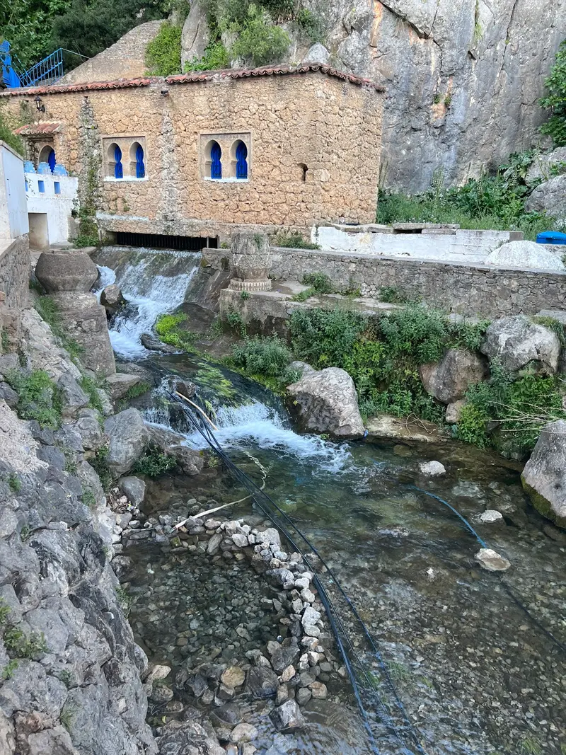
    The spring on the edge of the old town traditionally supplied Chefchaouen with water and is a popular resting place at the end of a walk through the Medina.
    Open in Google Maps
    Kasbah
    Historic Landmark

    2Kasbah

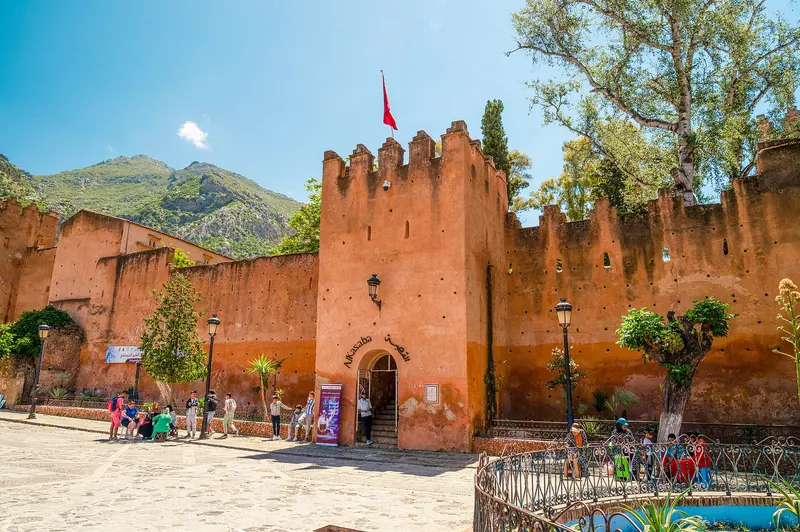
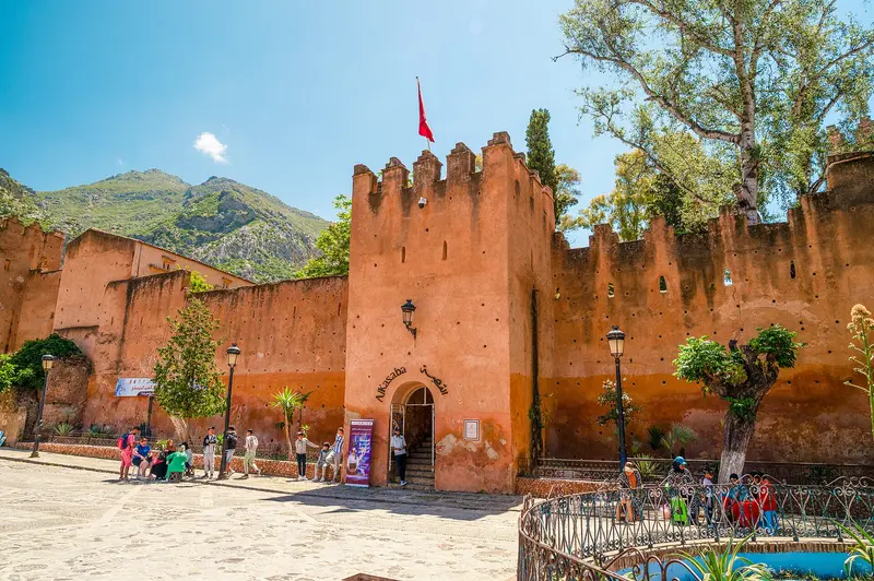
    The fortress with ten towers dates back to the city's founding in 1471. Inside is a small ethnographic museum. Tickets are also available online from the Ministry of Culture.
    Open in Google Maps
    The Spanish Mosque

    3The Spanish Mosque

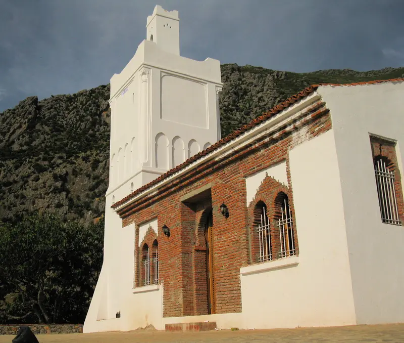
    The mosque was built by the Spanish in the 1920s on a hill east of the city. A paved path, roughly three kilometers round trip, leads up, and from the top, you can gaze over the entire blue city.
    Open in Google Maps
    Plaza Uta el-Hammam and Great Mosque

    4Plaza Uta el-Hammam and Great Mosque

    The Old Town's main square, probably 16th-century, is surrounded by key buildings. Its Grand Mosque features an an octagonal minaret.
    Open in Google Maps

    City walks in

    Curated walking tours through the city's highlights, handpicked by experienced travel journalists.

    Through the Blue Medina to the Spanish Mosque

    About three hours from the main gate, across the central square and the Kasbah, to the viewpoint above the city, ideal in the late afternoon.

    Open in Google Maps
    Stops (5)

    Restaurants in

    1

    Sofia

    Women-run restaurant offering traditional cuisine, such as Pastilla rolls and vegetarian couscous.
    Show on Google Maps
    2

    Café Clock

    Cafe-restaurant with rooftop terrace, known for its camel burger, mornings with breakfast.
    Show on Google Maps
    3

    El Cielo

    Garden restaurant in the Medina with skewers, köfte and mezze.
    Show on Google Maps

    Food & Drink

    Jben

    Fresh goat cheese that farmers from the Rif bring to the city several times a week. In the North, it's for breakfast, with olive oil, thyme and bread.

    Bissara

    Thick soup made from fava beans, purely plant-based and especially popular on cold days.

    Culture & History

    Fortress in the RifAli ibn Rashid al-Alami founded Chefchaouen in 1471 as a fortress. The Kasbah, with its ten towers, dates from this period and today houses a small ethnographic museum.Why Blue?There are several explanations for the blue colour of the houses. A local version suggests that the paint was introduced in the 1970s for tourism. Above the town stands the Spanish Mosque, built in the 1920s, a popular sunset viewpoint.

    Exploring locally

    ArrivalChefchaouen has no train station. CTM buses take around four hours to Fès, and a good hour to Tétouan.Within the Medina, you get around on foot.

    Accommodations in

    Find perfect stay in

    Booking.com* (Affiliate link)
    Search Hotels
    Agoda* (Affiliate link)
    Search Hotels
    Airbnb
    Vacation Rentals

    * Affiliate link: if you book through it, we earn a small commission. The price stays the same for you.

    Plan your trip to

    Save places, build a route and plan your city trip, all in one place.

    1. 1
      Sunrise over alpine peaks and a sea of clouds
      1234

      Round trip

      12 days · 4 stops

      Saved

      Pick a route

      Pick a ready-made one or save places and plan your own.

      Open bookmarks
    2. 2

      Trip to

      Live
      • 1Ras el-Maa3 days
      • 2Kasbah4 days
      • 3The Spanish Mosque5 days
      Budget

      Plan your trip

      The planner sorts stops, days and budget. Plan together in real time.

      Start trip planning
    3. 3
      9:41 No signal
      Available offline

      Use it on the road

      Download the guide to your phone and use it on site, even offline.

    Nearby

    Tétouan

    Tétouan

    Tétouan is located at the foot of the Rif Mountains, approximately 60 kilometres southeast of Tangier. Andalusian refugees rebuilt the city at the end of the 15th century; its whitewashed medina, which earned the city the nickname "White Dove," has been a UNESCO World Heritage site since 1997. From 1913 to 1956, Tétouan was the capital of the Spanish Protectorate.
    Asilah

    Asilah

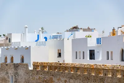
    Asilah is located 31 kilometers south of Tangier on the Atlantic coast. The Portuguese conquered the town in 1471 and built the walls that still enclose the whitewashed medina today. Since 1978, the Kulturmoussem has transformed the old town into a gallery every year, with artists repainting the house walls.
    Tangier & the North

    Tangier & the North

    Northern Morocco looks out over the Strait of Gibraltar towards Europe. Tangier is the terminus of the high-speed train Al Boraq, in the Rif Mountains lies the blue-washed mountain town of Chefchaouen, along with the Medina of Tétouan and the coastal town of Asilah.
    Tangier

    Tangier

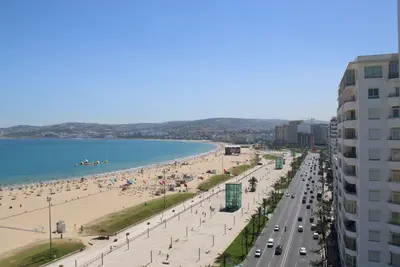
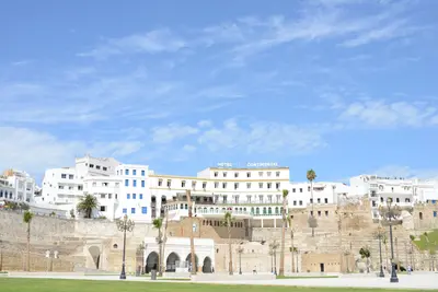
    Tangier is situated on the Strait of Gibraltar, where the Mediterranean and Atlantic converge, and for many travelers from Spain, it is the gateway to Morocco. From 1923 to 1956, the city was an international zone, attracting writers and artists. Today, the Al Boraq connects Tangier with Casablanca in just over two hours.
    Tarifa

    Tarifa

    Tarifa, situated at the southernmost point of mainland Europe, is a hub for wind and water sports on the Strait of Gibraltar. The Old Town offers narrow streets and the Castillo de Guzmán el Bueno, a Moorish-era castle. At Playa de Los Lances, kite and windsurfers shape the relaxed, international atmosphere. On a clear day, you can gaze across to the African coast, and whale and dolphin watching tours are also popular. You'll find fresh seafood in the Old Town's tapas bars. You'll enjoy mild weather, especially in spring and autumn.

    Sources & method

    • Photos: Wikimedia Commons, Pexels, Google Maps. Each photo carries its credit.
    • Place data such as addresses and ratings comes from Google Maps.
    • The content is based on web research from public, traceable sources. How the content is made · The role of AI