Fernweh: Home
    ExploreTravel GuidesPlan a tripMy tripLast visited
    de|en
    All Places & RegionsAll highlightsAbout FernwehFAQPrivacy PolicyImprint
    ExploreTravel GuidesPlan a tripMy tripLast visited
    • Neighborhoods & highlights
    • Eat & drink
    • Accommodation
    • Plan trip
    • Nearby
    Tarifa

    Spain

    Tarifa

    City

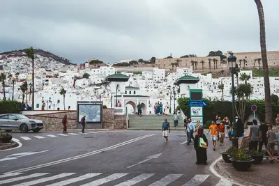
    Tarifa, situated at the southernmost point of mainland Europe, is a hub for wind and water sports on the Strait of Gibraltar. The Old Town offers narrow streets and the Castillo de Guzmán el Bueno, a Moorish-era castle.

    by Felix Gillen

    1. Home
    2. Destinations
    3. Spain
    4. Costa de la Luz
    5. Tarifa
    Tarifa, situated at the southernmost point of mainland Europe, is a hub for wind and water sports on the Strait of Gibraltar. The Old Town offers narrow streets and the Castillo de Guzmán el Bueno, a Moorish-era castle. At Playa de Los Lances, kite and windsurfers shape the relaxed, international atmosphere. On a clear day, you can gaze across to the African coast, and whale and dolphin watching tours are also popular. You'll find fresh seafood in the Old Town's tapas bars. You'll enjoy mild weather, especially in spring and autumn.

    Sights in Tarifa

    Discover the most important sights and attractions

    Isla de Las Palomas and Punta de Tarifa

    1Isla de Las Palomas and Punta de Tarifa

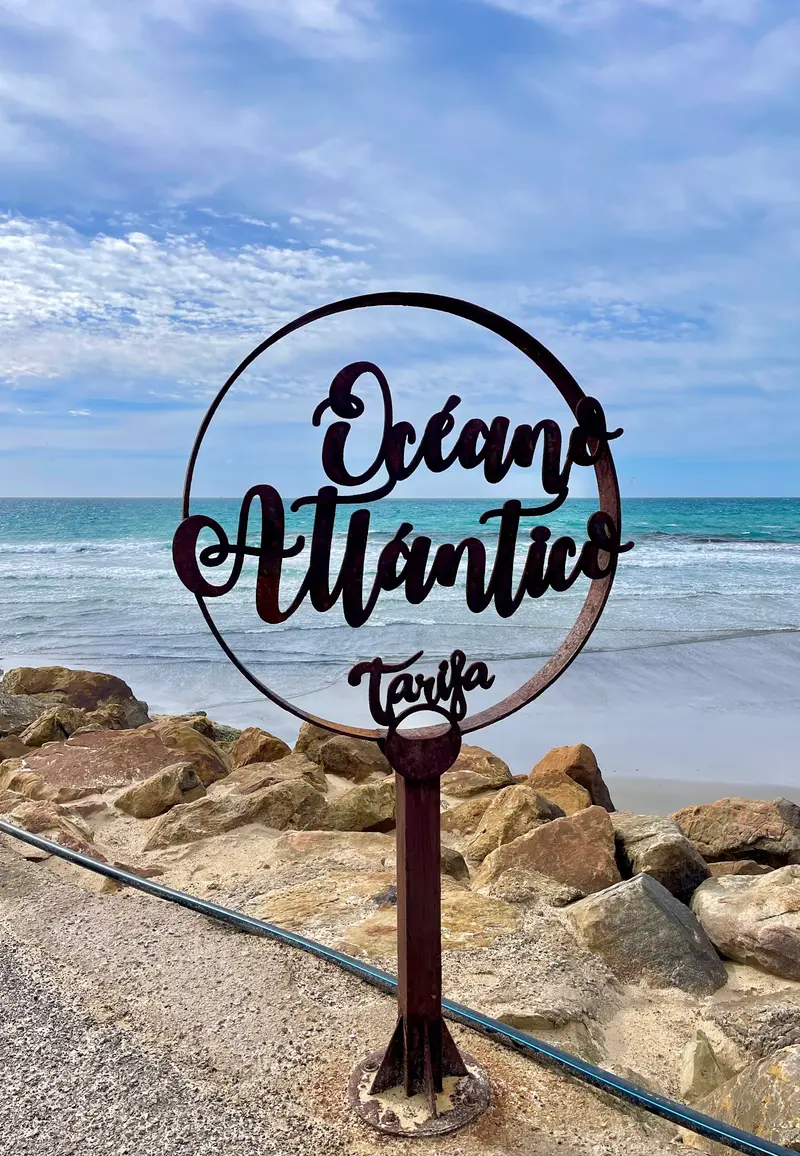
    The small island is connected to the mainland by an approximately 30-meter-long causeway. At Punta de Tarifa lies the southernmost point of mainland Europe, where the official border runs between the Andalusian coasts of the Atlantic and the Mediterranean. On the other side of the approximately 14-kilometer-wide strait lies Morocco.
    Open in Google Maps
    Puerta de Jerez
    Historic Landmark

    2Puerta de Jerez

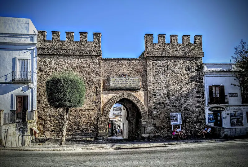
    The 13th-century town gate is the only surviving of Tarifa's three medieval gates. Through the stone arch, you now enter the old town.
    Open in Google Maps
    Castle of Guzmán el Bueno
    Castle

    3Castle of Guzmán el Bueno

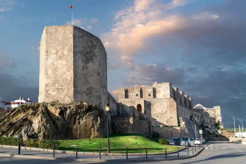
    Caliph Abd ar-Rahman III built the castle in 960. After conquest by Castile, Alonso Pérez de Guzmán defended it and refused to surrender it, even though his son's life was at stake, hence his nickname 'el Bueno'. The restored site is open for visitors; from the towers, you can see the coast and mountains of Morocco.
    Open in Google Maps
    Playa de Los Lances
    Attraction

    4Playa de Los Lances

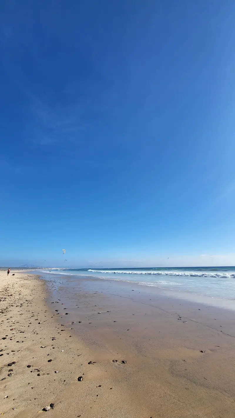
    The long sandy beach northwest of the Old Town is, thanks to its strong and consistent winds, one of Europe's most popular spots for windsurfing and kitesurfing.
    Open in Google Maps

    Essen & Trinken

    1

    Chilimosa Comida Vegetariana y Vegana

    Restaurant in C. del Peso.
    Show on Google Maps
    2

    La Herrería, comida casera para llevar

    Restaurant in C. Antonio Maura.
    Show on Google Maps
    3

    Brasería Vaca Loca

    Restaurant in C. Cervantes.
    Show on Google Maps
    4

    Restaurante Mic Moc

    Restaurant in C. Alcalde Juan Núñez.
    Show on Google Maps
    5

    El Ancla

    Restaurant in Av. Fuerza Armadas.
    Show on Google Maps

    Accommodations in Tarifa

    Find perfect stay in Tarifa

    Booking.com* (Affiliate link)
    Search Hotels
    Agoda* (Affiliate link)
    Search Hotels
    Airbnb
    Vacation Rentals

    * Affiliate link: if you book through it, we earn a small commission. The price stays the same for you.

    Campgrounds in Tarifa

    Find perfect campground in Tarifa

    Search via Google Maps
    Campgrounds nearby (15km)
    Camping.info
    Find Campgrounds
    Park4Night
    RV Parks & Camping

    Plan your trip to Tarifa

    Save places, build a route and plan your city trip, all in one place.

    1. 1
      Sunrise over alpine peaks and a sea of clouds
      1234

      Round trip

      12 days · 4 stops

      Saved

      Pick a route

      Pick a ready-made one or save places and plan your own.

      Open bookmarks
    2. 2

      Trip to Tarifa

      Live
      • 1Isla de Las Palomas and Punta de Tarifa3 days
      • 2Puerta de Jerez4 days
      • 3Castle of Guzmán el Bueno5 days
      Budget

      Plan your trip

      The planner sorts stops, days and budget. Plan together in real time.

      Start trip planning
    3. 3
      9:41 No signal
      Tarifa
      Available offline

      Use it on the road

      Download the guide to your phone and use it on site, even offline.

    Nearby

    Tangier & the North

    Tangier & the North

    Northern Morocco looks out over the Strait of Gibraltar towards Europe. Tangier is the terminus of the high-speed train Al Boraq, in the Rif Mountains lies the blue-washed mountain town of Chefchaouen, along with the Medina of Tétouan and the coastal town of Asilah.
    Tangier

    Tangier

    Tangier is situated on the Strait of Gibraltar, where the Mediterranean and Atlantic converge, and for many travelers from Spain, it is the gateway to Morocco. From 1923 to 1956, the city was an international zone, attracting writers and artists. Today, the Al Boraq connects Tangier with Casablanca in just over two hours.
    Vejer de la Frontera

    Vejer de la Frontera

    The white village of Vejer de la Frontera lies on a hill near the Costa de la Luz with views to the Strait of Gibraltar. Winding, flower-adorned streets, the well-preserved town wall with gates such as the Puerta de Sancho IV, the Plaza de España with its fountain of Sevillian tiles, and viewpoints like the Mirador de la Cobijada characterize the place.
    Conil de la Frontera

    Conil de la Frontera

    Conil de la Frontera is popular for its expansive sandy beaches, its vibrant gastronomy centered around tuna and fish, and the white old town of a traditional Andalusian fishing village.
    Tétouan

    Tétouan

    Tétouan is located at the foot of the Rif Mountains, approximately 60 kilometres southeast of Tangier. Andalusian refugees rebuilt the city at the end of the 15th century; its whitewashed medina, which earned the city the nickname "White Dove," has been a UNESCO World Heritage site since 1997. From 1913 to 1956, Tétouan was the capital of the Spanish Protectorate.

    Sources & method

    • Photos: Unsplash, Google Maps. Each photo carries its credit.
    • Place data such as addresses and ratings comes from Google Maps.
    • The content is based on web research from public, traceable sources. How the content is made · The role of AI