Fernweh: Home
ExploreGuideDestinationsMy tripsMy trip
de|en
All Places & RegionsRound tripsNight trains in EuropeAll highlightsAbout FernwehFAQPrivacy PolicyImprint
Download on the App StoreGet it on Google Play
ExploreGuideDestinationsMy tripsMy trip
    • Places in the region
    • Culture
    • Getting around
    • Nearby
    Zambezi Region (Caprivi)

    Ilka Nghinamupika / Wikimedia Commons / CC BY-SA 4.0, mod.

    Namibia

    Zambezi Region (Caprivi)

    Region

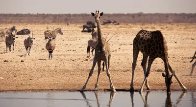
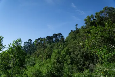
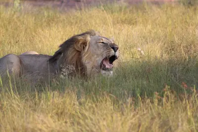
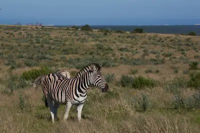
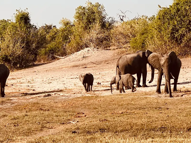
    The narrow strip of land in the northeast, formerly known as the Caprivi Strip, is the opposite of the desert: Okavango, Kwando, and Zambezi shape riverine landscapes and wetlands here.

    by Felix Gillen

    1. Home
    2. Destinations
    3. Namibia
    4. Zambezi Region (Caprivi)
    The narrow strip of land in the northeast, formerly known as the Caprivi Strip, is the opposite of the desert: Okavango, Kwando, and Zambezi shape riverine landscapes and wetlands here. The Bwabwata, Mudumu, and Nkasa Rupara National Parks, Namibia's largest protected wetland, are located on the way to the border crossings to Botswana and Zambia. The main town is Katima Mulilo, about 1,200 km from Windhoek.
    Namibia travel guideRound trips in NamibiaPlan a trip with Zambezi Region (Caprivi)

    Contents

    • Places in the region
    • Culture
    • Getting around
    • Nearby

    Sights in Zambezi Region (Caprivi)

    Discover the most important sights and attractions

    National Park

    Bwabwata National Park, Mahango Core Area

    The approximately 6,100 km² Bwabwata National Park (since 2007) has its core areas on the Okavango in the west and on the Kwando in the east. In the Mahango core area, an approximately 15 km river route runs along the Okavango, accessible by normal cars; the Kwando core area with Horseshoe Bend is only accessible by 4x4.
    Open in Google Maps
    Attraction

    Mudumu National Park

    The approximately 1,010 km² park was founded in 1990 and has neither fence nor gate. It is located in the eastern part of the Zambezi Region between Bwabwata and Katima Mulilo.
    Open in Google Maps

    Riverside Parks

    BwabwataThe park, approximately 6,100 km² (since 2007), has its core areas along the Okavango (Mahango) and the Kwando. The Popa Falls, rapids about 4 m high, are also located on the Okavango.Mudumu and Nkasa RuparaMudumu (approx. 1,010 km², since 1990) has neither fence nor gate. Nkasa Rupara, formerly Mamili, covers approximately 320 km² and is Namibia's largest protected wetland; accessible only by 4x4.

    Directions and Borders

    Getting ThereFrom Windhoek, it's approximately 1,200 km to Katima Mulilo. FlyNamibia operates flights from Windhoek-Hosea Kutako to Katima Mulilo. From the town, about 70 km of paved road leads to the Ngoma border post into Botswana.Border CrossingsNgoma is open from 7 AM to 6 PM, Wenela and Kazungula from 6 AM to 6 PM (as per source, verify before travel). Check with your rental provider beforehand whether you are permitted to exit the country with your rental car.VehicleYou can manage the Mahango river route with a regular passenger car, but for the Kwando core area and Nkasa Rupara, a 4x4 is required. Category 2 parks like Bwabwata have cost N$ 200 per person per day since April 2026.

    Nearby

    Waterberg Plateau Park

    Waterberg Plateau Park

    The Waterberg Plateau is a sandstone massif about 50 km long, rising steeply from the plains north of Windhoek. Established in 1972, the 405 km² park offers overnight stays at Bernabé de la Bat rest camp, located at the cliff foot. The plateau is conveniently located as a stopover on the way from Windhoek to Etosha.

    JMK·CC BY-SA 4.0

    Etosha National Park

    Etosha National Park

    Etosha National Park in the north is Namibia's premier safari destination: Around the approximately 4,800 km² Etosha Salt Pan, the Ministry of Environment reports 114 mammal and over 400 bird species, including elephants, black rhinos, and lions. The Ministry states its area as 22,935 km², the area has been protected since 1907. The camps Okaukuejo, Halali, and Namutoni have floodlit waterholes.

    Bernd Dittrich·Unsplash

    Lapalala Wilderness Reserve

    Lapalala Wilderness Reserve

    Lapalala is a large private wildlife reserve in the northern Waterberg, traversed by the Palala and Blocklands rivers. The reserve focuses heavily on conservation, especially for rhinos, and environmental education. Access is only possible with an overnight stay in one of the lodges.

    Unsplash

    Welgevonden Game Reserve

    Welgevonden Game Reserve

    Welgevonden is a private game reserve in the Waterberg, about three hours' drive north of Johannesburg. The Big Five live on the plateaus and in the gorges. You only have access by booking into one of the reserve's lodges.

    Unsplash

    Waterberg

    Waterberg

    The Waterberg is a sandstone massif in Limpopo Province, about three hours' drive north of Johannesburg. The region, with its bushland, gorges, and river valleys, has been a UNESCO Biosphere Reserve since 2001 and is malaria-free. It is home to Marakele National Park and several private game reserves.

    Unsplash

    Your next steps

    Zambezi Region (Caprivi) is in Namibia. Ways to carry on from here.

    • More in Namibia

      Highlights, areas, routes and the best time to travel for all of Namibia.

      Namibia travel guide
    • Round trips in Namibia

      Ready-made routes through Namibia, with stops, nights and a map.

      See the routes
    • Plan a trip with Zambezi Region (Caprivi)

      The Guide asks about season, length and who is coming, and suggests a trip with Zambezi Region (Caprivi).

      Plan the trip

    Sources & method

    • Photos: Wikimedia Commons. Each photo carries its credit.
    • Place data such as addresses and ratings comes from Google Maps.
    • The content is based on web research from public, traceable sources. How the content is made · The role of AI