Fernweh: Home
    ExploreTravel GuidesPlan a tripMy tripLast visited
    de|en
    All Places & RegionsAll highlightsAbout FernwehFAQPrivacy PolicyImprint
    ExploreTravel GuidesPlan a tripMy tripLast visited
    • Neighborhoods & highlights
    • Recommendations
    • Eat & drink
    • Accommodation
    • Plan trip
    • Nearby

    Ireland

    City

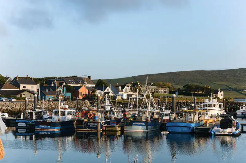
    Dingle is a small harbour town on the southwest coast in County Kerry and a starting point for the Dingle Peninsula, whose cliffs, beaches, and stone monuments are among Ireland's most impressive landscapes.

    by Felix Gillen

    1. Home
    2. Destinations
    3. Ireland
    4. Cork & Kerry
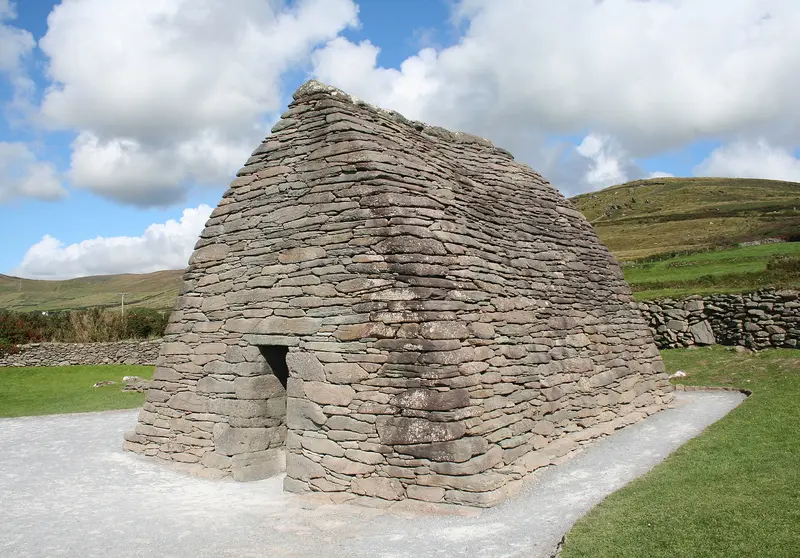
    Dingle is a small harbour town on the southwest coast in County Kerry and a starting point for the Dingle Peninsula, whose cliffs, beaches, and stone monuments are among Ireland's most impressive landscapes. The town (An Daingean) is located in the Irish-speaking region of Corca Dhuibhne; you'll find colourful rows of houses, pubs with live music, a whiskey distillery, and fish restaurants by the harbour.The Slea Head Drive is a circular route along the western tip of the peninsula, passing the stone fort Dunbeg, beehive-shaped stone huts, the Blasket Centre, and the early Christian Gallarus Oratory. Drive it clockwise and follow the signage. Buses, caravans, and motorhomes are not permitted to drive over the Conor Pass northbound; the limit is 2 tons in weight.

    Sights in

    Discover the most important sights and attractions

    Slea Head

    1Slea Head

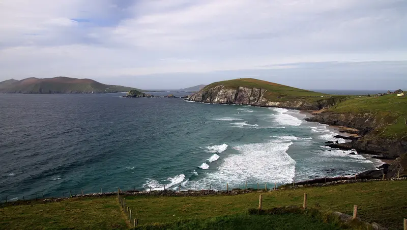
    The cape at the western tip of the Dingle Peninsula is one of the highlights of the Slea Head Drive, with views of the Blasket Islands. Right next to it lies Dunmore Head, Ireland's westernmost point.
    Open in Google Maps
    Gallarus Oratory

    2Gallarus Oratory

    The small chapel, built from dry-stacked sandstones, has the shape of an inverted boat hull and is the only fully preserved structure of its type. Its origin, whether early Christian or 12th-century, is debated.
    Open in Google Maps
    Conor Pass

    3Conor Pass

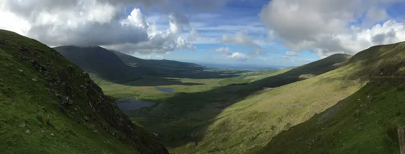
    The narrow R560 pass road between Dingle and Brandon Bay reaches 456 meters and is one of Ireland's highest asphalted passes. Vehicles over 2 tons are prohibited, and buses, caravans, and motorhomes are not allowed to pass through.
    Open in Google Maps

    Restaurants in

    Accommodations in

    Find perfect stay in

    Booking.com* (Affiliate link)
    Search Hotels
    Agoda* (Affiliate link)
    Search Hotels
    Airbnb
    Vacation Rentals

    * Affiliate link: if you book through it, we earn a small commission. The price stays the same for you.

    Campgrounds in

    Find perfect campground in

    Search via Google Maps
    Campgrounds nearby (15km)
    Camping.info
    Find Campgrounds
    Park4Night
    RV Parks & Camping

    Plan your trip to

    Save places, build a route and plan your city trip, all in one place.

    1. 1
      Sunrise over alpine peaks and a sea of clouds
      1234

      Round trip

      12 days · 4 stops

      Saved

      Pick a route

      Pick a ready-made one or save places and plan your own.

      Open bookmarks
    2. 2

      Trip to

      Live
      • 1Slea Head3 days
      • 2Gallarus Oratory4 days
      • 3Conor Pass5 days
      Budget

      Plan your trip

      The planner sorts stops, days and budget. Plan together in real time.

      Start trip planning
    3. 3
      9:41 No signal
      Available offline

      Use it on the road

      Download the guide to your phone and use it on site, even offline.

    Nearby

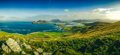
    The Ring of Kerry is a 179-kilometre-long scenic drive around the Iveragh Peninsula in southwest Ireland, starting and ending in Killarney. Along the way are towns like Killorglin, Cahersiveen, Waterville, Sneem and Kenmare, interspersed with coastal views of the Atlantic, islands, and mountains.Tour buses travel the Ring counter-clockwise because they can barely pass each other on the narrow roads; car drivers should consider this when planning. Quieter is the detour via the Skellig Ring to Portmagee and Ballinskelligs, and across the bridge to Valentia Island, where the first transatlantic cable came ashore in 1858.
    Skellig Michael

    Skellig Michael

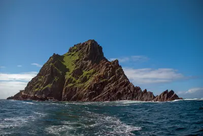
    Skellig Michael is a steep rocky island approximately twelve kilometres off the coast of Kerry, on whose summit monks built a monastery with beehive-shaped stone huts between the 6th and 8th centuries. The exceptionally well-preserved site has been a UNESCO World Heritage site since 1996; on the neighbouring island of Little Skellig, one of the world's largest gannet colonies breeds.You may only land in summer with one of the licensed boat operators, for example from Portmagee, and only in calm seas; children under 12 years are not permitted. The ascent via approximately 600 steps is steep and unsecured. Book early, as the number of visitors per day is limited. Boat tours without landing also circumnavigate the islands in less favourable conditions.
    Killarney & Killarney National Park

    Killarney & Killarney National Park

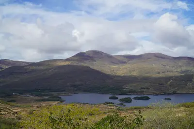
    Killarney National Park in County Kerry, Ireland's first national park, was founded in 1932. It covers some 10,000 hectares, with three lakes, oak forests, and the foothills of the MacGillycuddy's Reeks. It is home to Ireland's only native red deer herd; since 1981, the area has been a UNESCO Biosphere Reserve.Classic sights include Muckross House (completed 1843), Ross Castle on Lough Leane, and the approx. 20-meter-high Torc Waterfall, only minutes from the car park. The Gap of Dunloe, an 11-kilometer glacial pass, can be explored on foot, by bike, or horse-drawn carriage; return by boat across the lakes to Ross Castle.
    Cork & Kerry

    Cork & Kerry

    For many, the Southwest is Ireland's most scenically impressive corner: The Iveragh and Dingle peninsulas stretch far into the Atlantic, with Ireland's highest mountains, the lakes of Killarney National Park, and the monastic island Skellig Michael off the coast.Cork, the Republic's second-largest city, is a good starting point with its airport and ferry port. For Kerry, you should plan several days; Killarney is suitable as a base for the National Park and the Ring of Kerry, Dingle for its namesake peninsula.
    Cliffs of Moher

    Cliffs of Moher

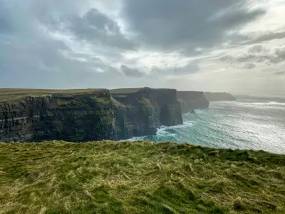
    The Cliffs of Moher on the Atlantic coast of County Clare reach a height of 214 meters north of O'Brien's Tower and are Ireland's most visited natural attraction. From the viewing platforms, on a clear day, you can see as far as the Aran Islands; seabirds breed on the rock ledges, including puffins in early summer.The Cliffs of Moher Experience, whose visitor center is built into the hillside, is open daily; the ticket includes parking and is cheaper online. The coastal path is only partially accessible in 2026: The southern section towards Hag's Head is completely closed; the visitor center cannot be reached from Doolin. Around the visitor center, about 3.5 km of path is open. Boat tours from Doolin offer a different perspective.

    Sources & method

    • Photos: Wikimedia Commons, Pexels. Each photo carries its credit.
    • The content is based on web research from public, traceable sources. How the content is made · The role of AI