Fernweh: Home
ExploreGuideDestinationsMy tripsMy trip
de|en
All Places & RegionsRound tripsNight trains in EuropeAll highlightsAbout FernwehFAQPrivacy PolicyImprint
Download on the App StoreGet it on Google Play
ExploreGuideDestinationsMy tripsMy trip
    • Neighborhoods & highlights
    • Eat & drink
    • Culture
    • Getting around
    • Accommodation
    • Plan trip
    • Nearby
    Le Gosier

    Alexey Komarov / Wikimedia Commons / CC BY-SA 4.0, mod.

    Guadeloupe

    Le Gosier

    City

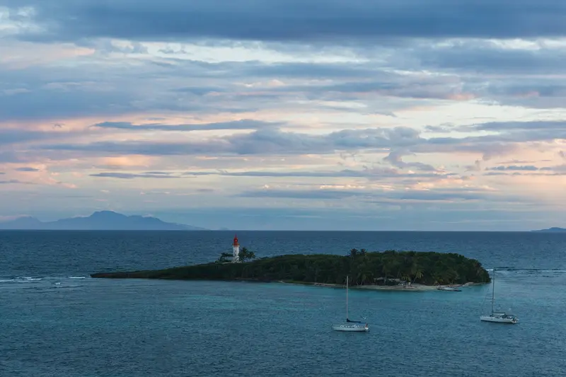
    Le Gosier, bordering Pointe-à-Pitre to the east, is Guadeloupe's largest seaside resort town. You come for the short distances from the airport, the city beach Plage de la Datcha with views of the Îlet du Gosier, and Marina Bas-du-Fort.

    by Felix Gillen

    1. Home
    2. Destinations
    3. Guadeloupe
    4. Grande-Terre: Pointe-à-Pitre to Saint-François
    5. Le Gosier
    Le Gosier, bordering Pointe-à-Pitre to the east, is Guadeloupe's largest seaside resort town. You come for the short distances from the airport, the city beach Plage de la Datcha with views of the Îlet du Gosier, and Marina Bas-du-Fort.On a hillside above the coast, the Fort Fleur d'Épée from 1759 recalls the battles with the English. The Îlet, with its lighthouse, lies just a few hundred meters off the beach and is accessible by boat or kayak.
    Guadeloupe travel guideRound trips in GuadeloupePlan a trip with Le Gosier

    Contents

    • Neighborhoods & highlights
    • Eat & drink
    • Culture
    • Getting around
    • Accommodation
    • Nearby

    Sights in Le Gosier

    Discover the most important sights and attractions

    Fort Fleur d'Épée

    Enrevseluj / Wikimedia Commons / CC BY-SA 4.0, mod.

    Historic Landmark

    1Fort Fleur d'Épée

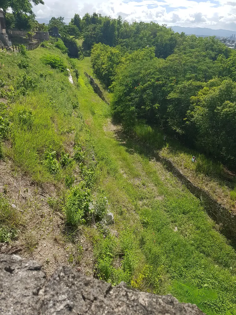
    The fortress was built in 1759 on a rise above the coast to protect the Pointe-à-Pitre area from the English. From the ramparts, you'll get a sweeping view over the bay and the coast of Le Gosier.
    Open in Google Maps
    Attraction

    2Plage de la Datcha and Îlet du Gosier

    The local family beach overlooks Îlet du Gosier and its lighthouse, just a few hundred meters offshore. Access the island by boat, kayak, or shuttle; excellent snorkeling awaits around the Îlet. The beach is illuminated until 11 PM nightly.
    Open in Google Maps

    Restaurants in Le Gosier

    1

    Le Plaisancier

    Restaurant on the marina quay with fish, seafood, and creative fusion cuisine, listed by Gault&Millau and the Guadeloupe Tourist Board.
    Show on Google Maps

    Fortress, Gwoka and Night Market

    Fort Fleur d’ÉpéeThe 18th-century fortress offers expansive views of the coast.GwokaAt Atelier GoZié’Aw, you'll learn how the Ka drum is built; on Thursday evenings, Restaurant Le Pélican hosts Gwoka concerts (Routard).Night MarketFridays from 4 PM to 9 PM, there are Accras, Boudins, Sorbets, and Rhum arrangé.

    Arrival and Îlet du Gosier

    ArrivalFrom the airport, you'll be here in about 20 minutes; several Karulis lines stop at Parc du Calvaire.Îlet du GosierAccording to the National Park, boats depart approximately every 30 minutes from the Parc du Calvaire pier, round trip for €5. A 0.8-kilometer circular path leads in about 30 minutes to the 21-meter-high lighthouse from 1932.

    Accommodations in Le Gosier

    Find perfect stay in Le Gosier

    Booking.com* (Affiliate link)
    Search Hotels
    Agoda* (Affiliate link)
    Search Hotels
    Airbnb
    Vacation Rentals

    * Affiliate link: if you book through it, we earn a small commission. The price stays the same for you.

    Plan your trip to Le Gosier

    Save places, build a route and plan your city trip, all in one place.

    1. 1
      Sunrise over alpine peaks and a sea of clouds
      1234

      Round trip

      12 days · 4 stops

      Saved

      Pick a route

      Pick a ready-made one or save places and plan your own.

      Open bookmarks
    2. 2

      Trip to Le Gosier

      Live
      • 1Fort Fleur d'Épée3 days
      • 2Plage de la Datcha and Îlet du Gosier4 days
      Budget

      Plan your trip

      The planner sorts stops, days and budget. Plan together in real time.

      Start trip planning
    3. 3
      9:41 No signal
      Le Gosier
      Available offline

      Alexey Komarov / Wikimedia Commons / CC BY-SA 4.0, mod.

      Use it on the road

      Download the guide to your phone and use it on site, even offline.

    Nearby

    Grande-Terre: Pointe-à-Pitre to Saint-François

    Grande-Terre: Pointe-à-Pitre to Saint-François

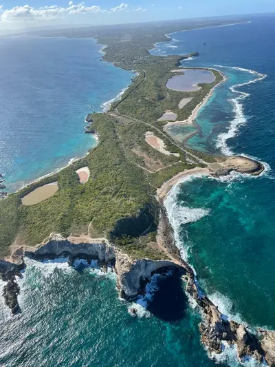
    Grande-Terre is the flat, eastern half of Guadeloupe, featuring Pointe-à-Pitre, its economic center, and the seaside resorts along the south coast. You come for the lagoon beaches behind coral reefs, the Mémorial ACTe, and the rocky coastline at Pointe des Châteaux.Along the south coast, Le Gosier, Sainte-Anne, and Saint-François line up with tranquil lagoons. All the way in the east, the island ends at Pointe des Châteaux, which has been protected as a natural monument since 1997. On the Atlantic and north coasts, the landscape becomes rougher, with limestone cliffs like at Porte d'Enfer near Anse-Bertrand.

    Enrevseluj·CC BY-SA 4.0

    Pointe-à-Pitre

    Pointe-à-Pitre

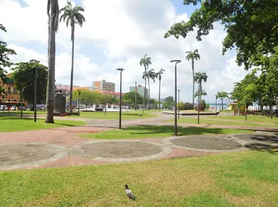
    Pointe-à-Pitre is the economic and cultural hub of Guadeloupe, located in western Grande-Terre where the two main islands meet, just minutes from the international airport. You come for the Mémorial ACTe, the lively markets, and the Creole old town around Place de la Victoire.The municipality is small at 2.7 square kilometers, built on marshland at the edge of a mangrove. From the port, ferries depart for Marie-Galante and Les Saintes, and cruise ships dock at the quay.

    Filo gèn'·CC BY-SA 4.0

    Sainte-Anne

    Sainte-Anne

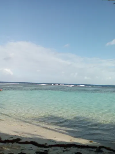
    Sainte-Anne is the classic seaside resort on Grande-Terre's south coast, approximately 25 kilometers and about a half-hour drive from the airport. You come for the bright beaches, protected by a coral reef from the Atlantic swell, especially the Plage de la Caravelle.In the village, you'll find a daily market by the beach, most lively on Thursday mornings and weekends, and the Notre-Dame church, rebuilt in 1933 according to plans by Ali Tur. A coastal path leads from the village beach to the quieter Plage de Bois Jolan.

    Filo gèn'·CC BY-SA 4.0

    Saint-François

    Saint-François

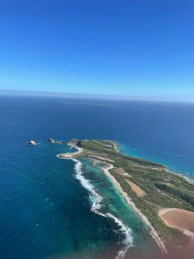
    Saint-François, in the southeast of Grande-Terre, is a seaside resort and the archipelago's second-largest fishing port, about a 40-minute drive from Pointe-à-Pitre. You come for the Pointe des Châteaux, a headland with views of La Désirade and Petite-Terre, and for its reef-protected beaches.The lagoon is a good spot for kite and windsurfers. From the port, ferries depart for La Désirade; the crossing takes about 45 minutes.

    Enrevseluj·CC BY-SA 4.0

    Basse-Terre and National Park

    Basse-Terre and National Park

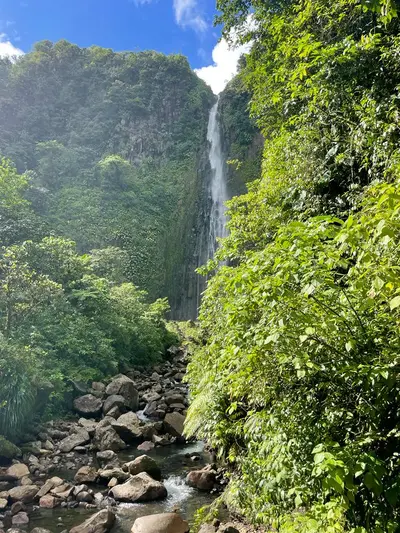
    Basse-Terre is Guadeloupe's volcanic, mountainous western half, whose interior is largely taken up by the National Park, founded in 1989. You come for the rainforest, waterfalls like the Chutes du Carbet, and the hike up the 1,467 m high Grande Soufrière, the island's active volcano.In the Soufrière Massif, 2,500 to over 6,000 mm of rain falls annually, depending on the location, which is why there are so many rivers and waterfalls here. On the calmer west coast lie Deshaies with Grande Anse beach and Bouillante, off whose coast the Réserve Cousteau invites you to snorkel. The Route de la Traversée connects the east and west coasts right through the forest, while the island capital, Basse-Terre, is located in the south at the foot of the volcano.
    Enrevseluj·CC BY-SA 4.0

    Your next steps

    Le Gosier is in Guadeloupe. Ways to carry on from here.

    • More in Guadeloupe

      Highlights, areas, routes and the best time to travel for all of Guadeloupe.

      Guadeloupe travel guide
    • Round trips in Guadeloupe

      Ready-made routes through Guadeloupe, with stops, nights and a map.

      See the routes

    Sources & method

    • Photos: Wikimedia Commons. Each photo carries its credit.
    • Place data such as addresses and ratings comes from Google Maps.
    • The content is based on web research from public, traceable sources. How the content is made · The role of AI