Fernweh: Home
    ExploreTravel GuidesPlan a tripMy tripLast visited
    de|en
    All Places & RegionsAll highlightsAbout FernwehFAQPrivacy PolicyImprint
    ExploreTravel GuidesPlan a tripMy tripLast visited
    Mleiha
    Angela Manthorpe / Wikimedia Commons / CC BY-SA 4.0

    United Arab Emirates

    Mleiha

    Point of InterestUNESCO

    Mleiha is some 65 km southeast of Sharjah city in the country's inland desert.

    by Felix Gillen

    1. Home
    2. Destinations
    3. United Arab Emirates
    4. Sharjah Emirate
    5. Mleiha
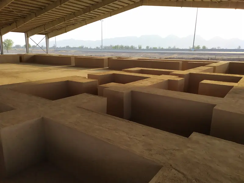
    Mleiha is some 65 km southeast of Sharjah city in the country's inland desert. The Mleiha Archaeological Centre is the hub of the Faya Palaeolandscape, inscribed as a UNESCO World Heritage site in 2025 and preserving traces of human settlement from over 200,000 years ago. From here, guided tours begin to tombs, the fort, Fossil Rock, and Camel Rock.

    Sights in Mleiha

    Discover the most important sights and attractions
    Fossil Rock (Jebel Mleiha)
    Park

    1Fossil Rock (Jebel Mleiha)

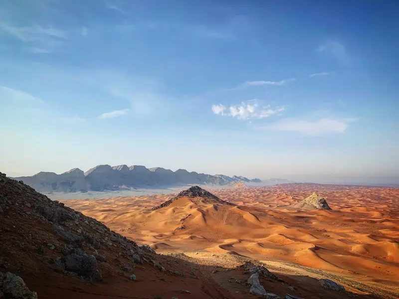
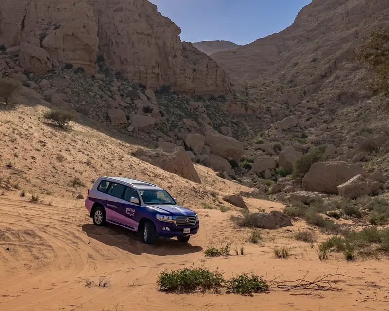
    The rock ridge towers over the Archaeological Centre. Its flanks reveal marine fossils deposited some 65 million years ago, when the area was a sea. The hour-long Mleiha Landscapes Tour by 4x4 leads to the rock.
    Open in Google Maps
    Mleiha Archaeological Centre
    Museum

    2Mleiha Archaeological Centre

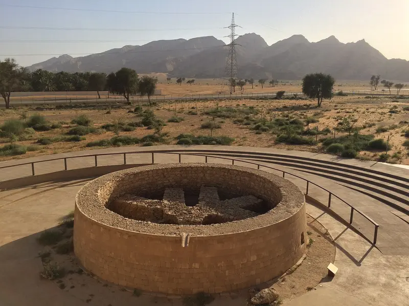
    The visitor center, opened in January 2016, is built around a preserved tomb from the Umm an-Nar period, which you can view from a rooftop platform. The exhibition spans from the Paleolithic to the pre-Islamic era, including around 130,000-year-old stone tools and a tombstone with Aramaic and South Arabian inscription. Guided tours also start here.
    Open in Google Maps
    Camel Rock
    Park

    3Camel Rock

    The standalone rock formation resembles a reclining camel. It is a stop on the approximately one-hour Mleiha Landscapes Tour by 4x4.
    Open in Google Maps
    Mleiha Fort
    Attraction

    4Mleiha Fort

    The excavation of a pre-Islamic palace and fort is part of the Archaeology Tour, which departs from the Archaeological Centre in an air-conditioned 4x4.
    Open in Google Maps

    Restaurants in Mleiha

    1

    Mleiha Cafe

    The café at the Mleiha Archaeological Centre offers indoor seating, by a panoramic window, and on a terrace with views over the plain stretching to Fossil Rock. Drinks and light meals are served.
    Show on Google Maps

    Food On-Site

    Dining is available only at the Archaeological Centre and the desert camp.

    Cafe in the Archaeological Centre

    The visitor center has a cafe, handy for a break between exhibition and tours.

    Evening in the Sunset Lounge

    A barbecue dinner is served in the lantern-lit desert camp, after which you can look at the night sky through a telescope. Overnight stays in tents are possible.

    History and World Heritage

    World Heritage FayaThe UNESCO World Heritage Committee inscribed the Faya Palaeolithic Landscape on the World Heritage List as a cultural landscape in July 2025. It is the first desert Palaeolithic site on the list and was the second World Heritage site in the Emirates after the cultural sites of Al Ain.Finds from Many EpochsFinds from the Faya North East site suggest anatomically modern humans lived here 130,000 to 120,000 years ago. Faya Cave is a stop on the Archaeology Tour. Mleiha cemetery holds six monumental tombs and 120 underground burial sites; the Umm an-Nar tomb in the visitor center dates to the Bronze Age.

    Arrival and Tours

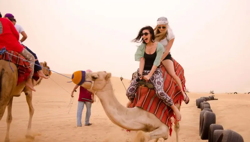
    Getting ThereMleiha is located approximately 65 km southeast of Sharjah City. The easiest way to get there is by rental car or as part of an organized tour.On-site ToursExplore the surrounding archaeological sites on guided tours from the Archaeological Centre. The Archaeology Tour, conducted in an air-conditioned 4x4, visits the Fort, Faya Cave, and tombs, while the one-hour Mleiha Landscapes Tour goes to Camel Rock. Fatbike tours, hikes, buggy excursions, and horse riding are also offered.

    Accommodations in Mleiha

    Find perfect stay in Mleiha

    Booking.com* (Affiliate link)
    Search Hotels
    Agoda* (Affiliate link)
    Search Hotels
    Airbnb
    Vacation Rentals

    * Affiliate link: if you book through it, we earn a small commission. The price stays the same for you.
    Nearby

    Hatta

    Hatta

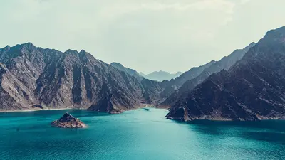
    Hatta is an exclave of the Emirate of Dubai in the Hajar Mountains, separated from the rest of the emirate by Omani territory and around 90 minutes by bus from Downtown Dubai. Kayaking on Hatta Dam, mountain biking trails around Wadi Hub, and the Hatta Heritage Village make the place a mountain destination.
    Fujairah

    Fujairah

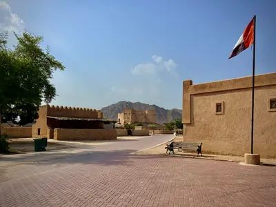
    Fujairah is the capital of the eponymous emirate on the east coast of the UAE on the Gulf of Oman. Around the 16th-century fort are a museum and a Heritage Village; the 2015 Sheikh Zayed Mosque shapes the city's skyline. Off the coast, tankers anchor near the port, one of the world's largest bunkering ports; in the hinterland, the Hajar Mountains begin.
    Fujairah Emirate

    Fujairah Emirate

    The Emirate of Fujairah is the only one of the seven emirates whose entire coast lies on the Gulf of Oman. Around 70 kilometers of coastline stretch from the capital Fujairah in the south to Dibba in the north, backed by the Hajar Mountains. Forts, the country's oldest preserved mosque, and reefs for snorkeling make the East Coast a contrast to Dubai.
    Khor Fakkan

    Khor Fakkan

    Khor Fakkan, an exclave of Sharjah Emirate on the Gulf of Oman, facing the Hajar Mountains and surrounded by Fujairah. Home to around 43,000, the city boasts the region's only natural deep-water port and is known for its white sandy beaches. Waterfall, amphitheater, the expanded Al-Rafisah Dam and the Al Suhub viewpoint make it an east coast excursion destination.
    Ajman

    Ajman

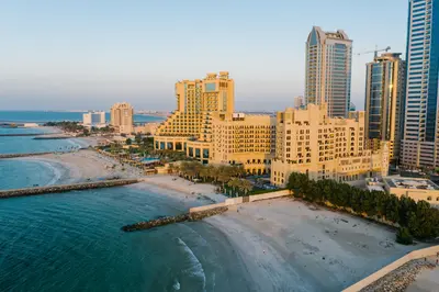
    Ajman is the capital of the smallest emirate by area, situated on the Persian Gulf north of Sharjah. At its heart is a fort, presumably built in the late 18th century, now the Ajman Museum, just a few steps from the Corniche and Souks. On Ajman Creek is a dhow shipyard, and on the outskirts, the Al Zorah mangrove area.

    Sources & method

    • Photos: Wikimedia Commons, Google Maps. Each photo carries its credit.
    • Place data such as addresses and ratings comes from Google Maps.
    • The content is based on web research from public, traceable sources. How the content is made · The role of AI