ExploreTravel GuidesPlan a trip
    de|en
    All Places & RegionsAbout FernwehFAQPrivacy PolicyImprint
    ExploreTravel GuidesPlan a trip
    Titisee

    Germany

    Titisee

    Point of Interest

    The Titisee in the Hochschwarzwald is about 1.07 square kilometers and lies at an elevation of roughly 840 meters. It was formed by the Feldberg Glacier, whose glacial moraines now form its shores.

    1. Home
    2. Destinations
    3. Germany
    4. Black Forest
    5. Titisee
    The Titisee in the Hochschwarzwald is about 1.07 square kilometers and lies at an elevation of roughly 840 meters. It was formed by the Feldberg Glacier, whose glacial moraines now form its shores. It is fed by the Seebach stream, originating at Feldsee lake below the Feldberg; the water then exits the lake as the Gutach river.On its northern shore lies the spa town of Titisee, a district of Titisee-Neustadt. In summer, you can swim at the lido or on the sandbank, where water quality is regularly monitored during the bathing season.

    Sights in Titisee

    Discover the most important sights and attractions

    Titisee
    Park

    1Titisee

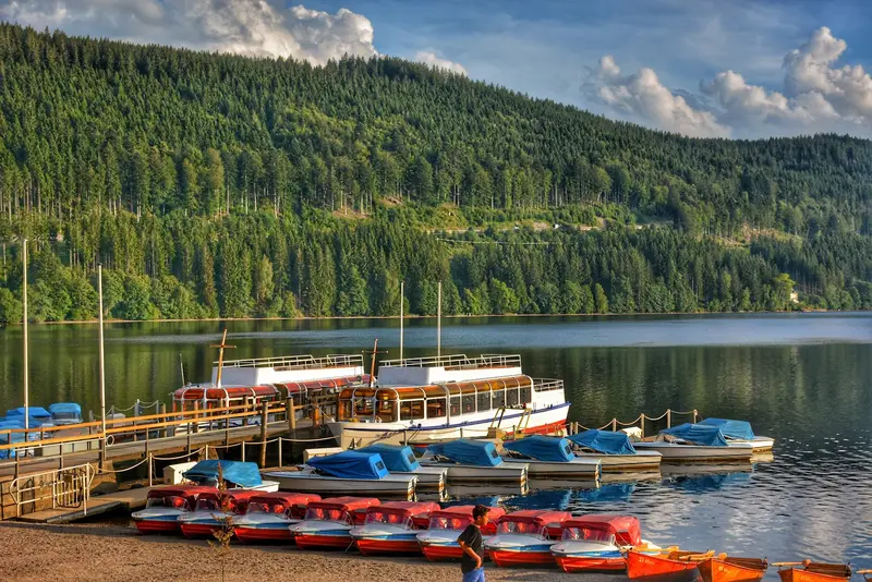
    The lake, formed by the Feldberg Glacier, is approximately 1.07 square kilometers in size and has an average depth of about 20 meters. Pedal boat rides are popular, and on the north shore lies the spa town of Titisee with restaurants.
    Open in Google Maps

    Restaurants in Titisee

    Accommodations in Titisee

    Find perfect stay in Titisee

    Booking.com* (Affiliate link)
    Search Hotels
    Agoda* (Affiliate link)
    Search Hotels
    Airbnb
    Vacation Rentals

    * Affiliate link: if you book through it, we earn a small commission. The price stays the same for you.

    Campgrounds in Titisee

    Find perfect campground in Titisee
    Search via Google Maps
    Campgrounds nearby (15km)
    Camping.info
    Find Campgrounds
    Park4Night
    RV Parks & Camping

    Nearby

    Freiburg im Breisgau

    Freiburg im Breisgau

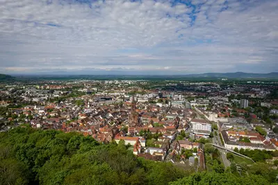
    Freiburg im Breisgau is situated on the Dreisam, at the western foothills of the Black Forest and on the edge of the Upper Rhine Plain, just a few kilometers from the French border. With an average annual temperature of 11.4 °C, it is one of Germany's warmest major cities, and the Albert-Ludwigs-University, founded in 1457, continues to shape its daily life.In the center stands the Minster with its 116-meter-high Gothic tower; surrounding it, you'll find the roughly one-square-kilometer Old Town with its Bächle, medieval city gates, and the market on Münsterplatz. The local mountain Schauinsland, standing at 1,284 meters, is even still part of the city area.
    Triberg Waterfalls

    Triberg Waterfalls

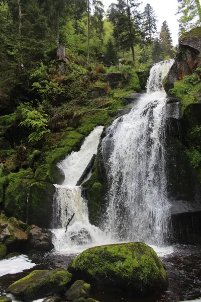
    Right in Triberg in the Black Forest, the Gutach river plunges a total of 163 meters down in two cascade groups: The upper falls feature three main stages, while the main fall has seven stages over approximately 230 meters in length. Well-maintained paths and two wooden bridges lead along the water, with five entrances distributed around the site.Around 500,000 people visit the falls each year. In the evenings, they are illuminated until 10 PM, and parts of them can also be explored in winter. A historical side note: In 1884, Triberg was home to Germany's first electric street lighting.
    Rheinfall

    Rheinfall

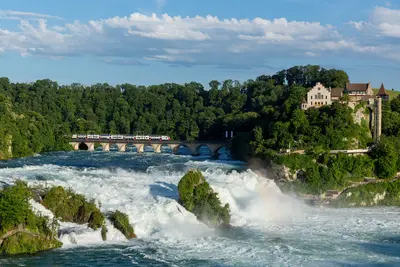
    The Rhine Falls near Schaffhausen in northern Switzerland is considered, by volume of water, Europe's largest waterfall. Over a width of around 150 meters, the Rhine plunges 23 meters into the depths. From Zurich, you can reach it by S-Bahn.The right bank belongs to Neuhausen am Rheinfall, Canton Schaffhausen; the left, with Laufen Castle, to Canton Zurich. From the castle, a panoramic path leads to platforms Belvedere, Känzeli, and Fischetz directly over the water, with a panoramic lift for return. Boats run from the north bank into the basin and to the middle rock. The Rhine Falls itself is freely accessible year-round; Laufen Castle and its platforms require admission.
    Black Forest

    Black Forest

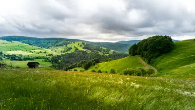
    Der Schwarzwald im Südwesten Baden-Württembergs ist das höchste und größte zusammenhängende Mittelgebirge Deutschlands: Auf über 6.000 Quadratkilometern erstreckt er sich rund 150 Kilometer von Nord nach Süd, im Westen begrenzt von der Oberrheinebene, im Süden vom Hochrhein. Höchster Gipfel ist der Feldberg mit 1.493 Metern. Seit 2014 schützt der Nationalpark Schwarzwald zwischen Baiersbronn und Baden-Baden gut 10.000 Hektar auf dem Hauptkamm des Nordschwarzwalds.Kein anderes deutsches Mittelgebirge zieht so viele Urlauber an. Du kombinierst hier lebendige Städte wie Freiburg und die Kurstadt Baden-Baden mit Wasserfällen, Seen wie dem Titisee und einer langen Tradition des Uhrmacherhandwerks, das zwischen Triberg und Titisee-Neustadt seine Anfänge nahm.
    Basel Region

    Basel Region

    The Basel region is located in northwestern Switzerland at the Rhine Knee, where Switzerland borders Germany and France. Its heart is the city of Basel, with its Old Town on the Rhine and one of the country's densest museum landscapes.The region also includes suburbs like Riehen, home to the Fondation Beyeler. Thanks to its location in the tri-border area, you can quickly reach Alsace and the Black Forest from here. By train, you're in Zurich in about an hour.