Fernweh: Home
    ExploreTravel GuidesPlan a tripMy tripLast visited
    de|en
    All Places & RegionsAll highlightsAbout FernwehFAQPrivacy PolicyImprint
    ExploreTravel GuidesPlan a tripMy tripLast visited
    • Overview
    • Places in the region
    • Round trips
    • Nearby
    Hohe Tauern & Großglockner

    Austria

    Hohe Tauern & Großglockner

    Region

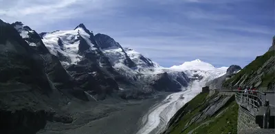
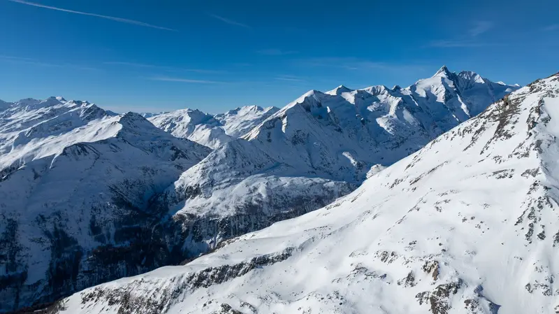
    In the Hohe Tauern National Park stands the Großglockner, at 3,798m Austria's highest mountain; at its foot lies the Pasterze, the country's largest glacier.

    by Felix Gillen

    1. Home
    2. Destinations
    3. Austria
    4. Hohe Tauern & Großglockner
    In the Hohe Tauern National Park stands the Großglockner, at 3,798m Austria's highest mountain; at its foot lies the Pasterze, the country's largest glacier. The Großglockner High Alpine Road leads up to the Kaiser-Franz-Josefs-Höhe with views of peaks and glaciers.
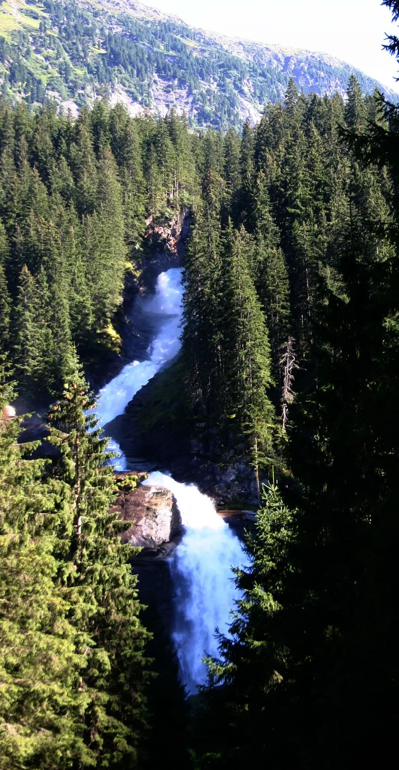
    The Largest National Park in the AlpsThe Hohe Tauern National Park spans over 1,800 square kilometers across Carinthia, Salzburg, and Tyrol, making it Austria's and the Alps' largest national park. Carinthia began in 1981, Salzburg followed in 1983, and Tyrol in 1991.Großglockner and PasterzeAt 3,798 meters, the Großglockner is Austria's highest mountain. Below its summit, on the Carinthian side, is the Pasterze, the country's largest glacier. Both are best experienced via the Großglockner High Alpine Road.Waterfalls and HikingIn the Salzburg part, the Krimml Waterfalls plunge around 380 meters in three stages, making them Austria's highest waterfalls.Plan high-mountain tours according to current weather and your experience.
    Großglockner High Alpine Road

    Place 1 of 2

    Großglockner High Alpine Road

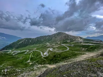
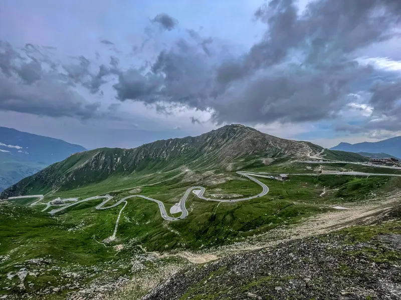
    The 47.8-kilometer toll panoramic road runs from Bruck in Salzburger Land, over the Hochtor at 2,504 meters, to Heiligenblut in Carinthia.

    Discover
    The Krimml Waterfalls
    Manuel Heinrich Emha / Wikimedia Commons / CC BY-SA 2.5

    Place 2 of 2

    The Krimml Waterfalls

    With a total drop of 380 meters in three stages, the Krimmler Waterfalls are the highest in Austria.

    Discover

    Round trips through this region

    The South: Graz, Wörthersee and Großglockner

    The South: Graz, Wörthersee and Großglockner

    Von Graz mit Schlossberg und UNESCO-Altstadt bringt Dich die neue Koralmbahn in rund 40 Minuten nach Klagenfurt an den Wörthersee. Mit dem Auto geht es weiter durch das Mölltal nach Heiligenblut und über die 47,8 Kilometer lange Großglockner-Hochalpenstraße hinunter ins Salzachtal. Zum Abschluss erreichst Du Salzburg. Die Hochalpenstraße ist im Winter gesperrt, je nach Wetter etwa von Ende Oktober bis Anfang Mai.

    9 Days
    4 stops
    Open jaw

    Nearby

    Großglockner High Alpine Road

    Großglockner High Alpine Road

    The 47.8-kilometer toll panoramic road runs from Bruck in Salzburger Land, over the Hochtor at 2,504 meters, to Heiligenblut in Carinthia. A turn-off brings you to the Kaiser-Franz-Josefs-Höhe with views of the Grossglockner and the Pasterze; in winter, the road is typically closed from late October to early May.
    The Krimml Waterfalls

    The Krimml Waterfalls

    With a total drop of 380 meters in three stages, the Krimmler Waterfalls are the highest in Austria. They are located in the Hohe Tauern National Park, and a wide, partly steep path leads upwards alongside the falls; they carry the most water in July and August.
    Three Peaks

    Three Peaks

    The Drei Zinnen are three freestanding rock towers in the Sesto Dolomites, on the border between South Tyrol and the Province of Belluno. The Große Zinne reaches 2,999 meters. Their north faces are among the most famous climbing destinations in the Alps; for hikers, the circular trail around the towers is the main objective.HistoryDuring the First World War, the front line between Austria-Hungary and Italy ran through here. Remains of fortifications, tunnels, and paths can be found on Paternkofel and Monte Piana.VisitingMost visitors start at the Auronzo Hut, which is accessible via a toll road from Misurina; an online reservation is required for car access. The huts along the circular trail are generally open from June to September; outside this period, snow may be present on the paths. Check the weather and trail conditions before your tour; current safety and health advisories for Italy can be found via the link to the Federal Foreign Office on the country page.
    Pragser Wildsee

    Pragser Wildsee

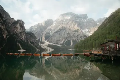
    Pragser Wildsee is situated at 1494 meters in the Pragser Tal, a few kilometers south of the Pustertal between Bruneck and Toblach. It belongs to the Fanes-Sennes-Prags Nature Park and is overlooked by the 2810-meter-high Seekofel. It also became known as a filming location for the TV series “Die Bergpolizei”.VisitA circular path of just under four kilometers leads around the lake in just over an hour. In summer, you can rent rowing boats at the boathouse. The Dolomite High Path No. 1 starts at the lake.Access in High SeasonIn 2026, a traffic regulation was in effect from July 1st to September 15th, between 9 AM and 4 PM: You could only enter the Pragser Tal with a parking space booked online in advance, with a scheduled bus service (also to be booked in advance), on foot, or by bike. The regulation is expected to return in summer 2027; details will be published in spring. Check them on the official website prags.bz before your arrival.
    Hallstatt

    Hallstatt

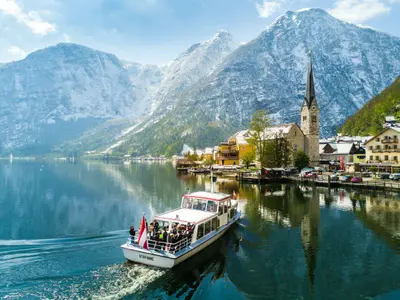
    The small village on Lake Hallstatt in the Salzkammergut is nestled between the lakeshore and steep mountain slopes. Hallstatt belongs to the UNESCO World Heritage Region Hallstatt-Dachstein/Salzkammergut, which has been on the list since 1997.

    Sources & method

    • Photos: Pexels. Each photo carries its credit.
    • The content is based on web research from public, traceable sources. How the content is made · The role of AI