Fernweh: Home
ExploreGuideDestinationsMy tripsMy trip
de|en
All Places & RegionsRound tripsNight trains in EuropeAll highlightsAbout FernwehFAQPrivacy PolicyImprint
Download on the App StoreGet it on Google Play
ExploreGuideDestinationsMy tripsMy trip
    • Places in the region
    • Getting around
    • Nearby
    Northcoast

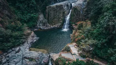
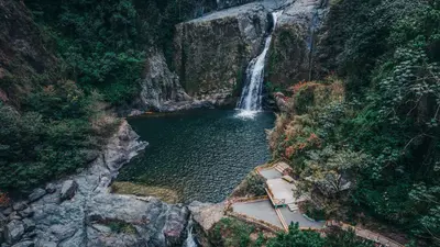
    Photo by William Finn on Pexels

    The Dominican Republic

    Northcoast

    Region

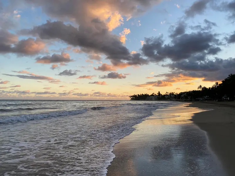
    The Atlantic north coast stretches from Puerto Plata, with its Spanish fortress and Amber Museum, through Sosúa, to Cabarete, one of the most famous kitesurfing spots in the Caribbean.

    by Felix Gillen

    1. Home
    2. Destinations
    3. The Dominican Republic
    4. Northcoast
    The Atlantic north coast stretches from Puerto Plata, with its Spanish fortress and Amber Museum, through Sosúa, to Cabarete, one of the most famous kitesurfing spots in the Caribbean. Inland, visitors climb the cascades of the 27 Charcos de Damajagua. West of Puerto Plata lie the remains of La Isabela, founded by Columbus in 1493.
    The Dominican Republic travel guideRound trips in The Dominican RepublicPlan a trip with Northcoast

    Contents

    • Places in the region
    • Getting around
    • Nearby
    Cabarete and Sosúa

    Photo by Aneudy Caceres on Pexels

    Place 1 of 2

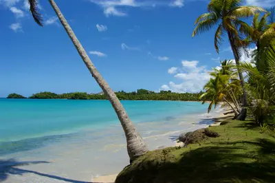
    Cabarete and Sosúa

    Cabarete, east of Puerto Plata, is the water sports hub of the North Coast: According to the Ministry of Tourism, sufficient wind for kiting blows here 250 to 300 days a year.

    Discover
    Puerto Plata

    Photo by Carlos Corporan on Pexels

    Place 2 of 2

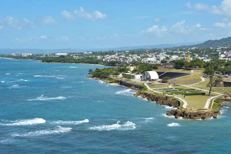
    Puerto Plata

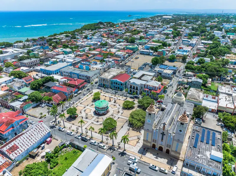
    Puerto Plata is the largest city on the north coast and has its own international airport. At the harbor stands the 16th-century Fortaleza San Felipe; in a restored Victorian villa, the Museo del Ámbar Dominicano displays amber with preserved animals.

    Discover

    Sights in Northcoast

    Discover the most important sights and attractions

    Park

    Laguna Gri-Gri

    The lagoon in Río San Juan is connected to the sea via an approximately one-kilometer-long canal through red mangroves. Captains at the pier offer boat trips through the mangroves, out to sea, and along the coral cliffs to a small beach; early in the morning, you'll see herons, frigatebirds, and pelicans.
    Open in Google Maps
    Historic Landmark

    Historic and Archaeological National Park La Isabela

    Near Luperón, Columbus founded La Isabela in 1493, the New World's first planned European colonial city; here, the first Mass in the Americas is said to have been celebrated in 1494. After only a few years, the settlement was abandoned in favor of Santo Domingo. The foundations of Columbus’s house and a warehouse can be seen. Following renovation, the park reopened in March 2024.
    Open in Google Maps

    Getting Here and Around

    Getting ThereGregorio Luperón International Airport is located near Puerto Plata (POP). Long-distance buses from Caribe Tours and Metro Tours connect Santo Domingo via Santiago to Puerto Plata and Sosúa.Along the CoastThe two-lane Route 5 runs along the North Coast from Puerto Plata, through Sosúa and Cabarete, to Río San Juan. Shared taxis operate on this route for approximately RD$40 to 50.Rain in WinterUnlike in the south, most rain falls on the North Coast in November and December; it is drier here in summer.

    Nearby

    Santiago de los Caballeros

    Santiago de los Caballeros

    Santiago de los Caballeros in the Cibao Valley is located about two hours' drive north of Santo Domingo on the Autopista Duarte. With the wealth of the tobacco family León Jimenes, the Centro León was established here, a cultural center featuring Dominican art and pre-Columbian archaeology; above the city rises the Monumento a los Héroes de la Restauración. In February, Santiago celebrates one of the country's largest carnivals after La Vega.

    Phyrexian·CC BY-SA 4.0

    Cibao and Cordillera Central

    Cibao and Cordillera Central

    The interior is the green counterpart to the coast: In the fertile Cibao Valley lie Santiago de los Caballeros and La Vega, the strongholds of carnival, south of which the Cordillera Central rises. Jarabacoa at around 530 m is the starting point for waterfalls and rafting tours on the Río Yaque del Norte, from La Ciénaga, a multi-day trail leads to Pico Duarte, the Caribbean's highest peak.

    Alberto Guzman·Pexels

    Jarabacoa

    Jarabacoa

    Jarabacoa, situated at around 530 m in the Cordillera Central, is called the "City of Eternal Spring" due to its mild climate. Pine forests, coffee fields, and rivers define the surroundings: A path through the forest leads to Salto de Baiguate, rafting takes place on the Río Yaque del Norte, and hikers depart from here for Pico Duarte. The neighboring town of Constanza, gateway to Valle Nuevo National Park, lies at around 1,200 m.

    Alberto Guzman·Pexels

    Pico Duarte

    Pico Duarte in the Cordillera Central is the highest peak in the Caribbean; its official height is 3,087 m, though recent GPS measurements indicate 3,098 to 3,101 m. The usual ascent begins in La Ciénaga, home to the administration of Armando Bermúdez National Park, and leads 23 km with almost 2,000 meters of elevation gain to the summit. Most visitors plan three days, including overnight stays in the huts of La Compartición, about five kilometers below the peak. At night, frost can occur up there.
    Las Terrenas

    Las Terrenas

    Las Terrenas, on Samaná Peninsula's north coast, is the region's liveliest beach resort, featuring small hotels, beachfront restaurants, and long palm-lined beaches. West of town lie Playa Bonita, with an offshore reef for snorkeling, and the long, nearly white Playa Cosón. From here, access El Limón waterfall in the hills and, in season, whale watching tours in Samaná. From Santo Domingo, it's a good two hours via the Autopista del Nordeste.

    Daniel Bernal·Unsplash

    Your next steps

    Northcoast is in The Dominican Republic. Ways to carry on from here.

    • More in The Dominican Republic

      Highlights, areas, routes and the best time to travel for all of The Dominican Republic.

      The Dominican Republic travel guide
    • Round trips in The Dominican Republic

      Ready-made routes through The Dominican Republic, with stops, nights and a map.

      See the routes
    • Plan a trip with Northcoast

      The Guide asks about season, length and who is coming, and suggests a trip with Northcoast.

      Plan the trip

    Sources & method

    • Photos: Pexels. Each photo carries its credit.
    • Place data such as addresses and ratings comes from Google Maps.
    • The content is based on web research from public, traceable sources. How the content is made · The role of AI