Fernweh: Home
ExploreGuideDestinationsMy tripsMy trip
de|en
All Places & RegionsRound tripsNight trains in EuropeAll highlightsAbout FernwehFAQPrivacy PolicyImprint
Download on the App StoreGet it on Google Play
ExploreGuideDestinationsMy tripsMy trip
    • Neighborhoods & highlights
    • Tours
    • Eat & drink
    • Getting around
    • Accommodation
    • Plan trip
    • Nearby
    Pas de la Casa and Grandvalira

    Krzysztof Golik / Wikimedia Commons / CC BY-SA 4.0, mod.

    Andorra

    Pas de la Casa and Grandvalira

    CityMountains

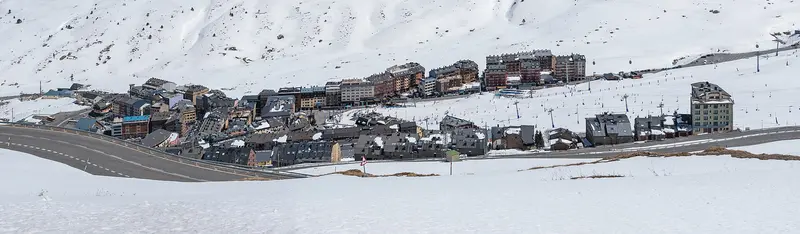
    Pas de la Casa is located at about 2,080 meters directly on the French border, where the Ariège river originates at the pass.

    by Felix Gillen

    1. Home
    2. Destinations
    3. Andorra
    4. Pas de la Casa and Grandvalira
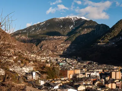
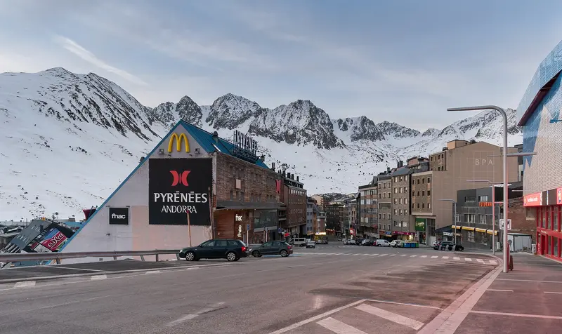
    Pas de la Casa is located at about 2,080 meters directly on the French border, where the Ariège river originates at the pass. The town thrives on trade, with many visitors from France shopping in its large supermarkets, and from the Grandvalira ski resort, which, with 215 kilometers of slopes across seven sectors between 1,710 and 2,640 meters, is Andorra's largest.Above, the road leads over the Port d'Envalira (2,408 m), the highest paved pass road in the Pyrenees; alternatively, you can drive through the toll Envalira Tunnel.
    Andorra travel guidePlan a trip with Pas de la Casa and Grandvalira

    Contents

    • Neighborhoods & highlights
    • Tours
    • Eat & drink
    • Getting around
    • Accommodation
    • Nearby

    Sights in Pas de la Casa and Grandvalira

    Discover the most important sights and attractions

    Grandvalira Ski Resort

    Krzysztof Golik / Wikimedia Commons / CC BY-SA 4.0, mod.

    Point of Interest

    1Grandvalira Ski Resort

    With 215 kilometers of slopes (100 easy, 82 medium, 33 difficult) and 75 lifts between 1,710 and 2,640 meters, Grandvalira is Andorra's largest ski resort. It spans seven sectors from Encamp, Canillo, El Tarter, Soldeu, Peretol, and Grau Roig to Pas de la Casa; with Pal Arinsal and Ordino Arcalís, a nationwide ski pass is valid for 303 kilometers.

    Open in Google Maps

    Tours & experiences in Pas de la Casa and Grandvalira

    Search tours for Pas de la Casa and Grandvalira on GetYourGuide* (Affiliate link)On GetYourGuide, with reviews from other travellers

    * Affiliate link: if you book through it, we earn a small commission. The price stays the same for you.

    Restaurants in Pas de la Casa and Grandvalira

    Exploring locally

    From FranceThe HIFE bus line connects Pas de la Casa, Soldeu, Canillo, Encamp, and Andorra la Vella with L'Hospitalet-près-l'Andorre station and Ax-les-Thermes, twice daily each way, coordinated with SNCF trains.From Andorra la VellaDaytime buses run about every 30 minutes towards Envalira Tunnel.By car, take the CG-2 and the Port d'Envalira (2,408 m) or pass through the toll-required, almost 3-kilometer-long Envalira Tunnel, opened in 2002.

    Accommodations in Pas de la Casa and Grandvalira

    Find perfect stay in Pas de la Casa and Grandvalira

    Booking.com* (Affiliate link)
    Search Hotels
    Agoda* (Affiliate link)
    Search Hotels
    Airbnb
    Vacation Rentals

    * Affiliate link: if you book through it, we earn a small commission. The price stays the same for you.

    Campgrounds in Pas de la Casa and Grandvalira

    Find perfect campground in Pas de la Casa and Grandvalira

    Search via Google Maps
    Campgrounds nearby (15km)
    Camping.info
    Find Campgrounds
    Park4Night
    RV Parks & Camping

    Plan your trip to Pas de la Casa and Grandvalira

    Save places, build a route and plan your city trip, all in one place.

    1. 1
      Sunrise over alpine peaks and a sea of clouds
      1234

      Round trip

      12 days · 4 stops

      Saved

      Pick a route

      Pick a ready-made one or save places and plan your own.

      Open bookmarks
    2. 2

      Trip to Pas de la Casa and Grandvalira

      Live
      • 1Grandvalira Ski Resort3 days
      Budget

      Plan your trip

      The planner sorts stops, days and budget. Plan together in real time.

      Start trip planning
    3. 3
      9:41 No signal
      Pas de la Casa and Grandvalira
      Available offline

      Krzysztof Golik / Wikimedia Commons / CC BY-SA 4.0, mod.

      Use it on the road

      Download the guide to your phone and use it on site, even offline.

    Nearby

    Canillo

    Canillo

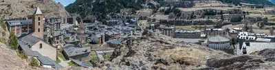
    Canillo is located in the east of Andorra on the main road towards France. The town is one of the access points to the Grandvalira ski area, which spans over 200 kilometers of slopes between Soldeu, El Tarter, Canillo, Grau Roig, Pas de la Casa, and Encamp, and is Andorra's largest ski area. The slopes are located between approximately 1,700 and 2,640 meters.At the edge of the town stands the Romanesque church of Sant Joan de Caselles, dating from the 11th to 12th century. The Roc del Quer viewing platform juts out over the valley, with a via ferrata running below it. In summer, Canillo is a starting point for hikes.

    Krzysztof Golik·CC BY-SA 4.0

    Encamp

    Encamp

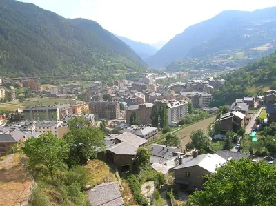
    Encamp is located on the CG-2, about a ten-minute drive above Andorra la Vella, and is the gateway to the Grandvalira ski resort: The Funicamp takes you from the village up to Solanelles in about 15 minutes. In the village, the Museu Nacional de l'Automòbil displays vehicles from the late 19th century onwards. High above the valley lies the Romanesque complex of Les Bons with the church of Sant Romà, consecrated in 1164.Pas de la Casa, on the French border, also belongs to the parish of Encamp.

    Joanjoc·public domain

    Vall del Madriu-Perafita-Claror

    Vall del Madriu-Perafita-Claror

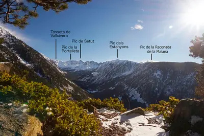
    The Vall del Madriu-Perafita-Claror in southeastern Andorra is a glacial valley with high pastures, rugged cliffs, and forested slopes. Covering 4,247 hectares, it encompasses about nine percent of the country's land area and has been a UNESCO World Heritage site since 2004. In summer, herds graze here, and shepherds use stone huts with grass roofs.The valley is only accessible on foot; there is no road. A popular starting point is the road to Engolasters near Escaldes-Engordany. The Coronallacs circular route connects four huts over approximately 90 kilometers in about five days; in total, there are five huts in the valley. For tours above 1,700 meters, late June to late September is recommended, with guided tours available from May to October.

    Austral Lights·CC BY-SA 4.0

    Ordino

    Ordino

    Ordino is located in the north of Andorra and is quieter and more rural than the capital. In the village center stands the Casa d'Areny-Plandolit, Andorra's only fully preserved manor house, now a museum about the influential Areny-Plandolit family; right next to it is the National Auditorium.Further up the valley begin the Vall de Sorteny Nature Park with its species-rich mountain flora and the Ordino Arcalís ski resort, where in summer the circular trail to the three Estanys de Tristaina starts. From Ordino, the road also leads over the Coll d'Ordino to Canillo, along which is the Roc del Quer viewpoint.

    Matthew Ross·public domain

    Andorra la Vella and Escaldes-Engordany

    Andorra la Vella and Escaldes-Engordany

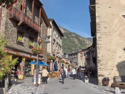
    Andorra la Vella is the capital of the principality and is located at 1,023 meters, higher than any other capital in Europe. Together with the neighboring town of Escaldes-Engordany, it has grown into a continuous urban area in the valley, a hub for shops, hotels, and restaurants.In the old town core stands the Casa de la Vall, a fortified manor from 1580, serving as the parliament's seat, the Consell General, until 2011. In Escaldes-Engordany, the glass spire of the Caldea thermal spa, 80 meters high, is Andorra's tallest building. From here, hikes can also begin into the UNESCO Madriu-Perafita-Claror Valley.

    Ermell·CC BY-SA 4.0

    Your next steps

    Pas de la Casa and Grandvalira is in Andorra. Ways to carry on from here.

    • More in Andorra

      Highlights, areas, routes and the best time to travel for all of Andorra.

      Andorra travel guide

    Sources & method

    • Photos: Wikimedia Commons. Each photo carries its credit.
    • Place data such as addresses and ratings comes from Google Maps.
    • The content is based on web research from public, traceable sources. How the content is made · The role of AI