Fernweh: Home
ExploreGuideDestinationsMy tripsMy trip
de|en
All Places & RegionsRound tripsNight trains in EuropeAll highlightsAbout FernwehFAQPrivacy PolicyImprint
Download on the App StoreGet it on Google Play
ExploreGuideDestinationsMy tripsMy trip
    • Neighborhoods & highlights
    • Recommendations
    • Tours
    • Eat & drink
    • Culture
    • Getting around
    • Accommodation
    • Plan trip
    • Nearby
    Chichicastenango

    Photo by K on Pexels

    Guatemala

    Chichicastenango

    City

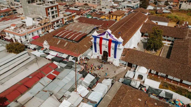
    Chichicastenango is a K'iche' Maya town in the Quiché Department in the western highlands. It is known for its market on Thursdays and Sundays and for the rituals on the steps of Santo Tomás Church.

    by Felix Gillen

    1. Home
    2. Destinations
    3. Guatemala
    4. Chichicastenango
    Chichicastenango is a K'iche' Maya town in the Quiché Department in the western highlands. It is known for its market on Thursdays and Sundays and for the rituals on the steps of Santo Tomás Church.In the parish, the Dominican Francisco Ximénez transcribed the Popol Vuh, the sacred book of the K'iche', between 1701 and 1703. His bilingual manuscript is now housed at the Newberry Library in Chicago.From December 13th to 21st, the town celebrates its patron saint, Santo Tomás. The most important day is December 21st; the Palo Volador, performed by dancers in front of the church, usually takes place in the days leading up to it.
    Guatemala travel guideRound trips in GuatemalaPlan a trip with Chichicastenango

    Contents

    • Neighborhoods & highlights
    • Recommendations
    • Tours
    • Eat & drink
    • Culture
    • Getting around
    • Accommodation
    • Nearby

    Sights in Chichicastenango

    Discover the most important sights and attractions

    Place of Worship

    1Pascual Abaj

    The shrine on a hill south of the city is dedicated to Huyup Tak'ah, the Maya god of the Earth. Ask for permission before taking photos. Fodor's recommends going up with INGUAT guides in red vests.
    Open in Google Maps
    Church

    2Chapel of Calvary

    The chapel with 13 steps stands opposite Santo Tomás. Here too, photography is forbidden inside.
    Open in Google Maps
    Church

    3Church of Saint Thomas

    The white church stands on an ancient Maya ritual site. Its 18 steps symbolize the months of the Maya calendar. On them, Maya ceremonies begin, with fire playing a central role. The main entrance is reserved for worshippers; visitors use the side entrance. Photography is forbidden inside.
    Open in Google Maps

    Tours & experiences in Chichicastenango

    Search tours for Chichicastenango on GetYourGuide* (Affiliate link)On GetYourGuide, with reviews from other travellers

    * Affiliate link: if you book through it, we earn a small commission. The price stays the same for you.

    Restaurants in Chichicastenango

    Maya Rituals and Popol Vuh

    Santo TomásThe church stands on an ancient Maya ceremonial site; its 18 steps represent the months of the Maya calendar. Maya ceremonies, in which fire plays a central role, begin on these steps.Popol VuhThe Dominican friar Francisco Ximénez transcribed the sacred book of the K'iche' in Chichicastenango. His transcription contains the K'iche' text and a Spanish translation.Fiesta de Santo TomásFor the patron saint's festival in December, the Cofrades process through the town with the wooden figure of the saint. In front of the church, dances such as the Torito and the Palo Volador are performed.

    Arrival and Behavior

    Getting ThereChichicastenango is located on the Interamericana in the Quiché department. From Panajachel, the shuttle takes about one and a half hours each way, and many visit the market as a day trip from Lake Atitlán.Inside the ChurchPhotography is prohibited inside Santo Tomás and the Capilla del Calvario. Visitors do not use the main entrance, but the side entrance. Ask for permission before taking photos at Pascual Abaj.Practical InfoThe market is on Thursday and Sunday, and during Holy Week, on Wednesday and Sunday.

    Accommodations in Chichicastenango

    Find perfect stay in Chichicastenango

    Booking.com* (Affiliate link)
    Search Hotels
    Agoda* (Affiliate link)
    Search Hotels
    Airbnb
    Vacation Rentals

    * Affiliate link: if you book through it, we earn a small commission. The price stays the same for you.

    Plan your trip to Chichicastenango

    Save places, build a route and plan your city trip, all in one place.

    1. 1
      Sunrise over alpine peaks and a sea of clouds
      1234

      Round trip

      12 days · 4 stops

      Saved

      Pick a route

      Pick a ready-made one or save places and plan your own.

      Open bookmarks
    2. 2

      Trip to Chichicastenango

      Live
      • 1Pascual Abaj3 days
      • 2Chapel of Calvary4 days
      • 3Church of Saint Thomas5 days
      Budget

      Plan your trip

      The planner sorts stops, days and budget. Plan together in real time.

      Start trip planning
    3. 3
      9:41 No signal
      Chichicastenango
      Available offline

      Photo by K on Pexels

      Use it on the road

      Download the guide to your phone and use it on site, even offline.

    Nearby

    Panajachel

    Panajachel

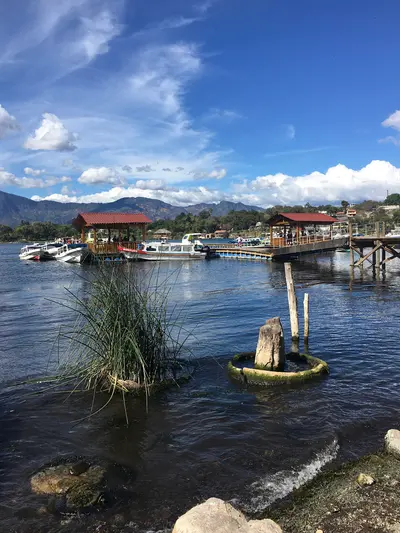
    Panajachel is the main town on the northern shore of Lake Atitlán and the departure point for boats to the lake villages. Its main street, Calle Santander, leads from the shore to the edge of the old town center.On Thursday, market day, Panajachel reveals itself as a typical highland village. Tourist shuttles from Antigua take approximately three hours.

    LarissaGomez·CC BY-SA 4.0

    San Marcos La Laguna

    San Marcos La Laguna

    San Marcos La Laguna is a small village on the northwest shore of Lake Atitlán. Its most famous destination is the Cerro Tzankujil Nature Reserve, west of the village, featuring swimming spots and a Maya altar.Lanchas from Panajachel take approximately 25 to 35 minutes.

    Midiaminuit·CC BY-SA 4.0

    Lake Atitlán

    Lake Atitlán

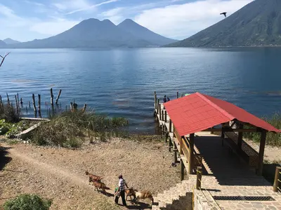
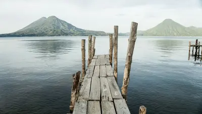
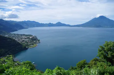
    Lago de Atitlán is a crater lake in the Sololá department, approximately 1560 meters high in Guatemala's Western Highlands. On its shores stand the volcanoes Atitlán, Tolimán, and San Pedro, surrounded by Maya villages connected by boat.A 2014 survey by the lake authority AMSCLAE found the lake to be approximately 126 square kilometers large and up to 328 meters deep. Aldous Huxley compared it in 1934 to Lake Como, enhanced by several massive volcanoes.The most important port is Panajachel on the north shore. San Pedro, San Juan, and San Marcos are in the west, Santiago Atitlán in the south. According to the Foreign Office, there is also a risk of robberies at Lake Atitlán.

    Cameron Wilkins·Unsplash

    Santiago Atitlán

    Santiago Atitlán

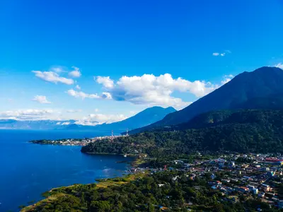
    Santiago Atitlán is located on the southern shore of Lake Atitlán, between the volcanoes Tolimán and Atitlán. The town is known for its 16th-century parish church and for Maximón, a figure that combines Maya beliefs and Catholic elements.Inside the church, a plaque commemorates Father Stanley Rother, who was murdered in the rectory in 1981. His heart is kept in Santiago at the community's request.

    Vikulinkaaa·CC BY-SA 4.0

    San Juan La Laguna

    San Juan La Laguna

    San Juan La Laguna is a small village on the west shore of Lake Atitlán, right next to San Pedro La Laguna. It is known for its textile and coffee cooperatives and as a starting point for the Rostro Maya viewpoint.Weavers' cooperatives sell textiles here, some dyed with natural colors. Lanchas from Panajachel take around 30 to 45 minutes.

    Enrique Marroquín·Unsplash

    Your next steps

    Chichicastenango is in Guatemala. Ways to carry on from here.

    • More in Guatemala

      Highlights, areas, routes and the best time to travel for all of Guatemala.

      Guatemala travel guide
    • Round trips in Guatemala

      Ready-made routes through Guatemala, with stops, nights and a map.

      See the routes

    Sources & method

    • Photos: Pexels. Each photo carries its credit.
    • Place data such as addresses and ratings comes from Google Maps.
    • The content is based on web research from public, traceable sources. How the content is made · The role of AI