Fernweh: Home
ExploreGuideDestinationsMy tripsMy trip
de|en
All Places & RegionsRound tripsNight trains in EuropeAll highlightsAbout FernwehFAQPrivacy PolicyImprint
Download on the App StoreGet it on Google Play
ExploreGuideDestinationsMy tripsMy trip
    • Places in the region
    • Culture
    • Getting around
    • Round trips
    • Nearby
    Lake Atitlán

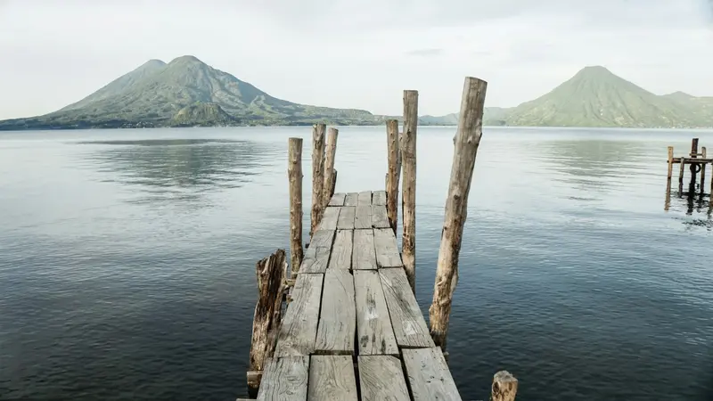
    Photo by Cameron Wilkins on Unsplash

    Guatemala

    Lake Atitlán

    Region

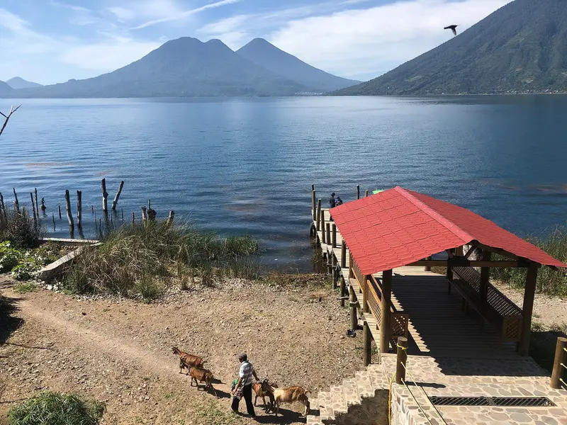
    Lago de Atitlán is a crater lake in the Sololá department, approximately 1560 meters high in Guatemala's Western Highlands. On its shores stand the volcanoes Atitlán, Tolimán, and San Pedro, surrounded by Maya villages connected by boat.

    by Felix Gillen

    1. Home
    2. Destinations
    3. Guatemala
    4. Lake Atitlán
    Lago de Atitlán is a crater lake in the Sololá department, approximately 1560 meters high in Guatemala's Western Highlands. On its shores stand the volcanoes Atitlán, Tolimán, and San Pedro, surrounded by Maya villages connected by boat.A 2014 survey by the lake authority AMSCLAE found the lake to be approximately 126 square kilometers large and up to 328 meters deep. Aldous Huxley compared it in 1934 to Lake Como, enhanced by several massive volcanoes.The most important port is Panajachel on the north shore. San Pedro, San Juan, and San Marcos are in the west, Santiago Atitlán in the south. According to the Foreign Office, there is also a risk of robberies at Lake Atitlán.
    Guatemala travel guideSee the round tripPlan a trip with Lake Atitlán

    Contents

    • Places in the region
    • Culture
    • Getting around
    • Round trips
    • Nearby
    San Marcos La Laguna

    Midiaminuit / Wikimedia Commons / CC BY-SA 4.0, mod.
    Place 1 of 4

    San Marcos La Laguna

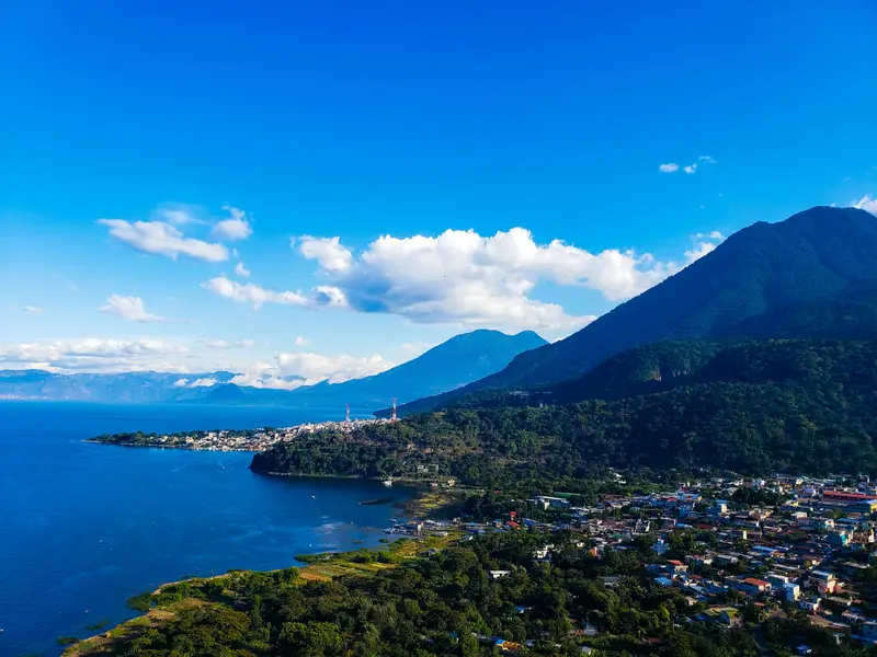
    San Marcos La Laguna is a small village on the northwest shore of Lake Atitlán. Its most famous destination is the Cerro Tzankujil Nature Reserve, west of the village, featuring swimming spots and a Maya altar.

    Discover
    San Juan La Laguna

    Photo by Enrique Marroquín on Unsplash
    Place 2 of 4

    San Juan La Laguna

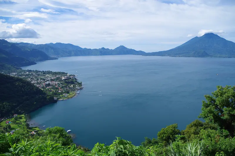
    San Juan La Laguna is a small village on the west shore of Lake Atitlán, right next to San Pedro La Laguna. It is known for its textile and coffee cooperatives and as a starting point for the Rostro Maya viewpoint.

    Discover
    Panajachel

    LarissaGomez / Wikimedia Commons / CC BY-SA 4.0, mod.
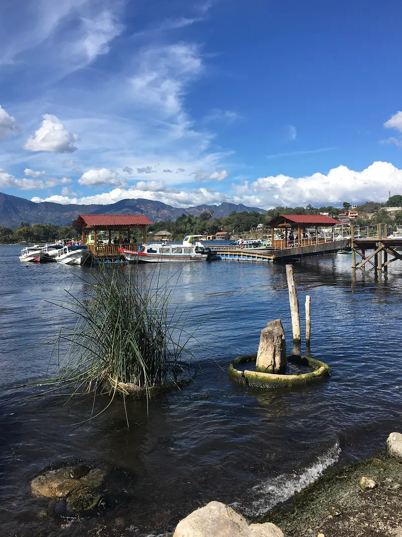
    Place 3 of 4

    Panajachel

    Panajachel is the main town on the northern shore of Lake Atitlán and the departure point for boats to the lake villages. Its main street, Calle Santander, leads from the shore to the edge of the old town center.

    Discover
    Santiago Atitlán

    Vikulinkaaa / Wikimedia Commons / CC BY-SA 4.0, mod.

    Place 4 of 4

    Santiago Atitlán

    Santiago Atitlán is located on the southern shore of Lake Atitlán, between the volcanoes Tolimán and Atitlán. The town is known for its 16th-century parish church and for Maximón, a figure that combines Maya beliefs and Catholic elements.

    Discover

    Lake Maya Villages

    Maximón and Father RotherIn Santiago Atitlán, a Cofradía venerates Maximón, also known as San Simón; his figure changes house every year. In the parish church, a commemorative plaque remembers Father Stanley Rother, murdered in the rectory in 1981.Weaving and CooperativesIn San Juan La Laguna, women weavers' cooperatives sell textiles, some dyed with natural colors. A coffee cooperative offers tours of the processing.

    Lanchas and Arrival

    Getting ThereTourist shuttles travel from Antigua to Panajachel in about three hours. The Foreign Office advises that reputable agency travel and minibuses are safer than public intercity buses.LanchasPublic boats connect Panajachel with the villages. They start operating around 6 AM and depart once full. The journey to San Marcos takes about 25 to 35 minutes, to San Juan 30 to 45 minutes, and to San Pedro or Santiago 45 to 60 minutes. A trip to San Pedro costs tourists around Q25 to Q30; pay in cash, preferably exact change. Services end in the late afternoon.Best TimeThe lake is usually calmer in the mornings; in the afternoons, the Xocomil wind can quickly stir it up.

    Round trips through this region
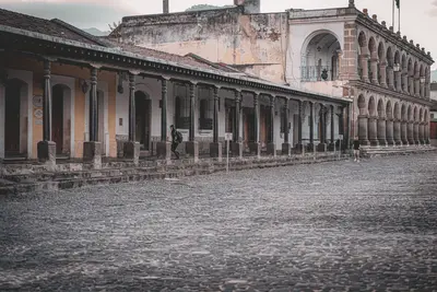
    Guatemala in 16 Days: Highlands, Petén and Caribbean

    Guatemala in 16 Days: Highlands, Petén and Caribbean

    This tour combines colonial Antigua with Lake Atitlán and Chichicastenango market, leads through Semuc Champey pools into the Petén to Tikal and Yaxhá, concluding at Río Dulce and in Lívingston on the Caribbean. The longest stages are shuttle rides to Lanquín and on to Flores. Avoid night drives outside cities, as per the Foreign Office; check current travel/safety advisories before your trip.

    16 Days
    7 stops

    Mario Spencer·Pexels

    Nearby

    Chichicastenango

    Chichicastenango

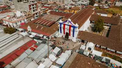
    Chichicastenango is a K'iche' Maya town in the Quiché Department in the western highlands. It is known for its market on Thursdays and Sundays and for the rituals on the steps of Santo Tomás Church.In the parish, the Dominican Francisco Ximénez transcribed the Popol Vuh, the sacred book of the K'iche', between 1701 and 1703. His bilingual manuscript is now housed at the Newberry Library in Chicago.From December 13th to 21st, the town celebrates its patron saint, Santo Tomás. The most important day is December 21st; the Palo Volador, performed by dancers in front of the church, usually takes place in the days leading up to it.

    K·Pexels

    Volcano Acatenango

    Volcano Acatenango

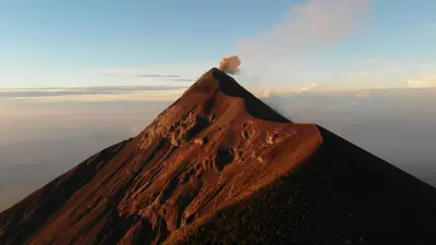
    Check the UK FCDO Travel Advice for Guatemala before any volcano trip: the FCDO advises following the instructions of local authorities (CONRED and INSIVUMEH) and notes that there is no mountain rescue service (as of 15 November 2026). Acatenango is a 3,976-metre dormant stratovolcano west of Antigua Guatemala. From its slopes you look across to the neighbouring Volcán de Fuego.Most ascents start in La Soledad and are run as two-day hikes with a night on the slope. When Fuego becomes more active, access is closed at short notice, most recently from 3 to 7 August 2026. The area is protected, and the conservation council CONAP warns against unauthorised ascents and illegally built huts.

    Guillermo de Manuel·Unsplash

    Antigua Guatemala

    Antigua Guatemala

    Antigua Guatemala is the former capital of the Spanish Captaincy General and has been a UNESCO World Heritage site since 1979. The city is situated at an altitude of approximately 1500 meters in the Panchoy Valley, about 40 kilometers from Guatemala City airport and surrounded by volcanoes.It was founded in 1543 at its third location. The Santa Marta earthquakes of 1773 destroyed large parts, after which the capital was relocated. What remains is a grid of cobblestone streets with churches, convents, and ruins, some of which are restored and some accessible as ruins.Among the most famous buildings are the Palacio de los Capitanes Generales, the Cathedral, La Merced, and Las Capuchinas. During Holy Week, processions move across carpets made of flowers and colored sawdust. The German Foreign Office also warns of a risk of robberies in Antigua.

    Mario Spencer·Pexels

    Pacaya Volcano

    Pacaya Volcano

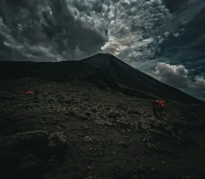
    Check the UK FCDO Travel Advice for Guatemala before any volcano trip: the FCDO advises following the instructions of local authorities (CONRED and INSIVUMEH) and notes that there is no mountain rescue service (as of 15 November 2026). Pacaya is a 2,552-metre active volcano between the departments of Guatemala and Escuintla, south of Guatemala City. It lies within the Parque Nacional Volcán de Pacaya y Laguna de Calderas.The trail does not lead to the active crater but to a ridge on the flank with views of the lava fields. MacKenney Crater and the most recent lava flows are closed, and after eruptions the park sometimes closes completely.

    Al Pie del Monte·Unsplash

    Guatemala City

    Guatemala City

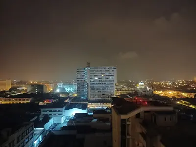
    The Foreign Office warns of increased robberies in the business and entertainment districts of Zones 10 and 14, and on the airport route via Zone 13 (As of 15.11.2026). Guatemala City is the capital and, since its 1773 earthquake relocation, the seat of government. International flights land here.The museums are particularly worth visiting. The Museo Popol Vuh and Ixchel Textile Museum are on Universidad Francisco Marroquín campus in Zone 10. In the historical center, Zone 1, the Palacio Nacional de la Cultura stands on Plaza de la Constitución.

    Simon Burchell·CC BY-SA 4.0

    Your next steps

    Lake Atitlán is in Guatemala. Ways to carry on from here.

    • More in Guatemala

      Highlights, areas, routes and the best time to travel for all of Guatemala.

      Guatemala travel guide
    • Round trips with Lake Atitlán

      One route passes through Lake Atitlán, with stops, nights and a map.

      See the round trip
    • Plan a trip with Lake Atitlán

      The Guide asks about season, length and who is coming, and suggests a trip with Lake Atitlán.

      Plan the trip

    Sources & method

    • Photos: Unsplash. Each photo carries its credit.
    • The content is based on web research from public, traceable sources. How the content is made · The role of AI