Fernweh: Home
ExploreGuideDestinationsMy tripsMy trip
de|en
All Places & RegionsRound tripsNight trains in EuropeAll highlightsAbout FernwehFAQPrivacy PolicyImprint
Download on the App StoreGet it on Google Play
ExploreGuideDestinationsMy tripsMy trip
    • Overview
    • Places in the region
    • Culture
    • Getting around
    • Round trips
    • Nearby
    Issyk-Kul

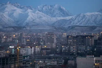
    Photo by Mike Dudin on Unsplash

    Kyrgyzstan

    Issyk-Kul

    Region

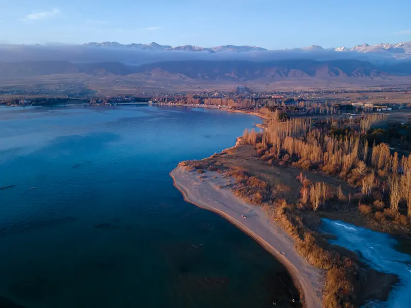
    Issyk-Kul, at 6,236 km², is Kyrgyzstan's largest lake: up to 668 m deep, situated at around 1,600 m altitude, and slightly salty, preventing it from freezing even in winter; only shallow bays may ice over.

    by Felix Gillen

    1. Home
    2. Destinations
    3. Kyrgyzstan
    4. Issyk-Kul
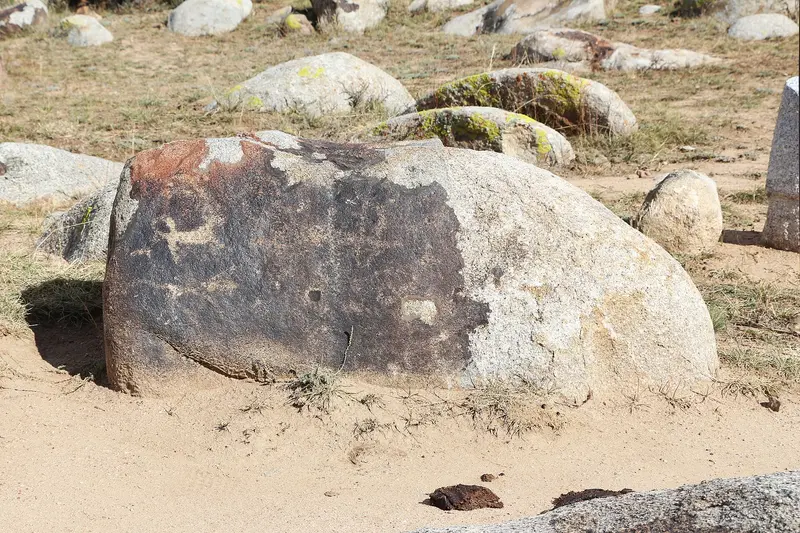
    Issyk-Kul, at 6,236 km², is Kyrgyzstan's largest lake: up to 668 m deep, situated at around 1,600 m altitude, and slightly salty, preventing it from freezing even in winter; only shallow bays may ice over. On the north shore, under the Kungey Alatau, are resorts like Cholpon-Ata with its petroglyph field; the trekking base Karakol at the eastern end; and on the quieter south shore, red canyons, yurt camps, and the Terskey Alatau valleys.
    Kyrgyzstan travel guideSee the round tripPlan a trip with Issyk-Kul

    Contents

    • Overview
    • Places in the region
    • Culture
    • Getting around
    • Round trips
    • Nearby
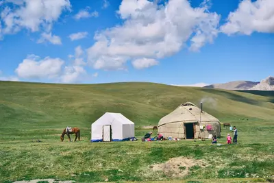
    A road circles the lake. On the North Shore, beneath the Kungey-Alatau, Soviet-era resorts and sanatoriums are strung along, with Cholpon-Ata as the main town. At the eastern end lies Karakol, the base for treks to Altyn Arashan, Ala-Kul, and Jeti-Ögüz. The South Shore at the Terskey-Alatau is quieter, featuring larger rivers, wide valleys, the red Skazka Gorge, and the village of Bokonbaevo, where in summer yurt camps dot the shore and golden eagle shows are held.
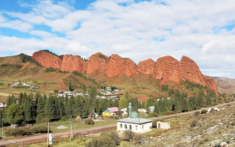
    Jeti-Ögüz

    Bernard Gagnon / Wikimedia Commons / CC0

    Place 1 of 3

    Jeti-Ögüz

    Jeti-Ögüz, the “Seven Bulls”, is a series of red sandstone cliffs at the entrance to a mountain valley about 35 km west of Karakol, above a Soviet sanatorium.

    Discover
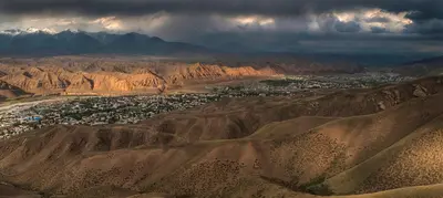
    Cholpon-Ata

    Bgag / Wikimedia Commons / CC0

    Place 2 of 3

    Cholpon-Ata

    Cholpon-Ata is the main town on the northern shore of Issyk-Kul and the lakeside holiday resort, with Soviet-era sanatoriums and bathing beaches.

    Discover
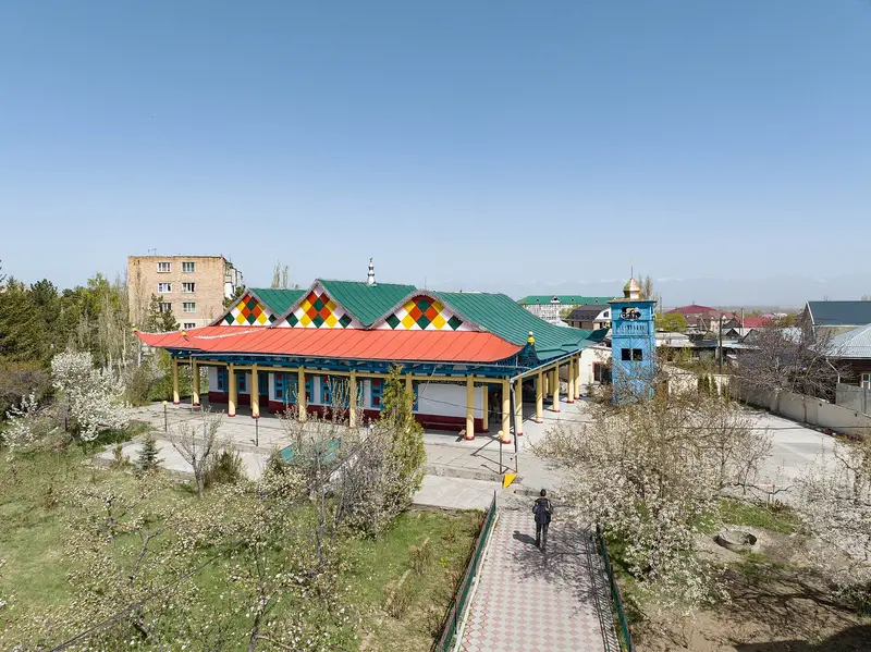
    Karakol

    Nikolai Bulykin / Wikimedia Commons / CC BY-SA 4.0, mod.

    Place 3 of 3

    Karakol

    Karakol at the eastern end of Issyk-Kul is the base for trekking in the Terskey Alatau: From here, you can reach Altyn Arashan with its hot springs, the glacier lake Ala-Kul, the Karakol Valley, and the red rocks of Jeti-Ögüz.

    Discover

    Sights in Issyk-Kul

    Discover the most important sights and attractions

    Attraction

    Skazka Gorge (Fairytale Gorge)

    The gorge with bizarrely eroded, reddish rock formations is on the south bank, its turn-off around 4 km west of Tossor, about 120 km from Balyktschy. When wet, the ground is hard to walk on. Entry is low.
    Open in Google Maps
    Park

    Barskoon Waterfall

    Around 20 km south of Barskoon village on the south shore, the waterfall plunges in a main cascade of about 24 m. Along the way are a bust of cosmonaut Yuri Gagarin and a Soviet truck on a pedestal.
    Open in Google Maps
    Attraction

    Grigorjewka Gorge

    The approximately 35 km long valley on the north shore, about 30 km from Cholpon-Ata, rises to alpine meadows at 2,200-2,500 m; its upper part features three moraine lakes. Adjacent is the Semyonovka Gorge, home to a yurt village from late June to late September.
    Open in Google Maps

    Nature & Culture

    A Mountain Lake That Doesn't FreezeIssyk-Kul spans 6,236 km², with an average depth of 270 to 280 m and a maximum of 668 m, and is slightly saline. The lake and its surroundings are a UNESCO Biosphere Reserve.Eagle Hunting and Nomad GamesIn Bokonbayevo, on the South Shore, the Salbuurun festival takes place in summer, featuring hunting demonstrations with golden eagles and Taigan sighthounds, on August 2, 2025. The World Nomad Games competitions were also held at Issyk-Kul in 2026.

    Lakeside travels

    Marshrutkas depart from Bishkek's new bus station via Balyktschy at the western end of the lake and continue along the northern shore to Karakol (approx. 400 km, 6 to 7 hours).In summer 2026, a train ran daily from late June to mid-September from Bishkek to Balyktschy, taking about 4 to 4.5 hours.The road on the southern shore is worse; for detours to Skazka Canyon or Barskoon Waterfall, a vehicle with a driver is practical.Swimming season is summer; the high altitudes in the valleys are snow-free from about July to mid-September.

    Round trips through this region

    Issyk-Kul, Song-Kul and Tash Rabat in 13 days

    Issyk-Kul, Song-Kul and Tash Rabat in 13 days

    The classic summer circuit through northern and central Kyrgyzstan: capital and Ala-Archa, the north shore of Issyk-Kul, trekking days around Karakol, the quiet south shore, yurt nights at Song-Kul and the caravanserai Tash Rabat. Only advisable from mid-June to mid-September, when high altitudes are snow-free and yurt camps open. For Song-Kul and Tash Rabat, you'll need a driver with a 4x4 vehicle, which CBT offices can arrange.

    13 Days
    8 stops

    Arseniy Kotov·Pexels

    Nearby

    Kotschkor

    Kotschkor

    Kotschkor is a small town at around 1,800 m, about a three-hour drive from Bishkek, and the gateway to Song-Kul. Here, you organize jeeps, horses, and yurts through the CBT office, and here is where the women's cooperative Altyn Kol, which produces and sells felt carpets (shyrdaks), is based.

    Kondephy·CC BY-SA 4.0

    Naryn

    Naryn

    Naryn is the capital of its namesake province, a sprawling town at around 2,040 m on both banks of the Naryn, a headstream of the Syr Darya. Travelers use it as a stopover on the way to Tash Rabat and the Torugart Pass; the CBT office arranges accommodation, drivers, and border zone permits.

    Pmelton87·CC BY-SA 4.0

    Central Kyrgyzstan

    Central Kyrgyzstan

    The highlands of Naryn Province are the Kyrgyzstan of summer pastures: From Kochkor, the center of felt art, tracks and riding trails lead to Song-Kul, where families operate yurt camps from mid-June to mid-September at around 3,000 m. Further south lie the provincial capital Naryn and the stone caravanserai Tash Rabat on the old route to China. The region is only advisable to visit in summer.

    Marek Brzóska·Unsplash

    Burana Tower

    Burana Tower

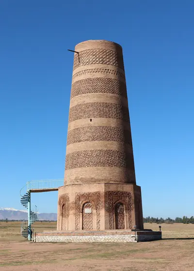
    The Burana Tower is the minaret of the former Karakhanid capital Balasagun, about 80 km east of Bishkek near Tokmok in the Chüy Valley. The 11th-century brick tower is now about 25 m high; originally it was about 45 m. Since 2014, the site has been part of the UNESCO World Heritage of the Silk Roads.

    Bernard Gagnon·CC0

    Song-Kul

    Song-Kul

    Song-Kul is a high-altitude lake at 3,016 m in Central Kyrgyzstan, surrounded by summer pastures where nomadic families live with their herds. From approximately mid-June to mid-September, they operate yurt camps where you can stay overnight with dinner and breakfast; in winter, the lake lies beneath a layer of ice up to over a meter thick.

    Oziel Gómez·CC0

    Your next steps

    Issyk-Kul is in Kyrgyzstan. Ways to carry on from here.

    • More in Kyrgyzstan

      Highlights, areas, routes and the best time to travel for all of Kyrgyzstan.

      Kyrgyzstan travel guide
    • Round trips with Issyk-Kul

      One route passes through Issyk-Kul, with stops, nights and a map.

      See the round trip
    • Plan a trip with Issyk-Kul

      The Guide asks about season, length and who is coming, and suggests a trip with Issyk-Kul.

      Plan the trip
    Sources & method

    • Photos: Unsplash, Pexels. Each photo carries its credit.
    • Place data such as addresses and ratings comes from Google Maps.
    • The content is based on web research from public, traceable sources. How the content is made · The role of AI