Fernweh: Home
    ExploreTravel GuidesPlan a tripMy tripLast visited
    de|en
    All Places & RegionsAll highlightsAbout FernwehFAQPrivacy PolicyImprint
    ExploreTravel GuidesPlan a tripMy tripLast visited
    • Neighborhoods & highlights
    • Eat & drink
    • Culture
    • Getting around
    • Accommodation
    • Plan trip
    • Nearby
    Bentota

    Sri Lanka

    Bentota

    City

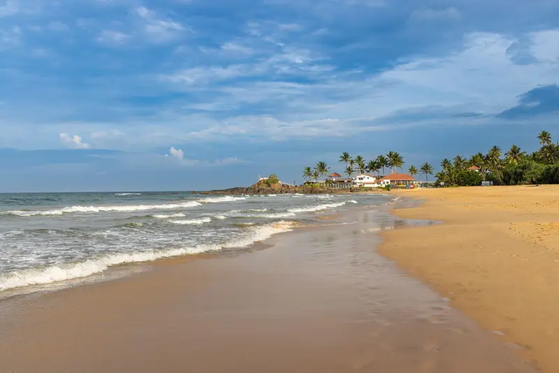
    Bentota is located at the mouth of the Bentota River, approximately 65 kilometers south of Colombo and 56 kilometers north of Galle.

    by Felix Gillen

    1. Home
    2. Destinations
    3. Sri Lanka
    4. Colombo & West Coast
    5. Bentota
    Bentota is located at the mouth of the Bentota River, approximately 65 kilometers south of Colombo and 56 kilometers north of Galle. The seaside resort is known for its beach and water sports, and in the green hinterland are Lunuganga and Brief Garden, the two most famous gardens of the brothers Geoffrey and Bevis Bawa.The town lies on the southern riverbank; to its north is Aluthgama, whose railway station is served by most trains. Southwards follow Induruwa with a turtle station and further towards Galle, the Madu Ganga lagoon near Balapitiya.

    Sights in Bentota

    Discover the most important sights and attractions

    Brief Garden
    Park

    1Brief Garden

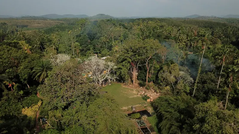
    Bevis Bawa, Geoffrey's brother, began transforming an inherited rubber plantation near Beruwala into a garden in 1929 and worked on it until his death in 1992. The gateposts, designed with Australian artist Donald Friend, are well-known, as is a large mural by Friend inside the house.
    Open in Google Maps
    The Beach of Bentota
    Attraction

    2The Beach of Bentota

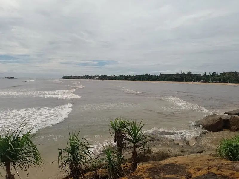
    The beach south of the river mouth is the center of the resort and renowned for its water sports.
    Open in Google Maps
    Lunuganga
    Garden

    3Lunuganga

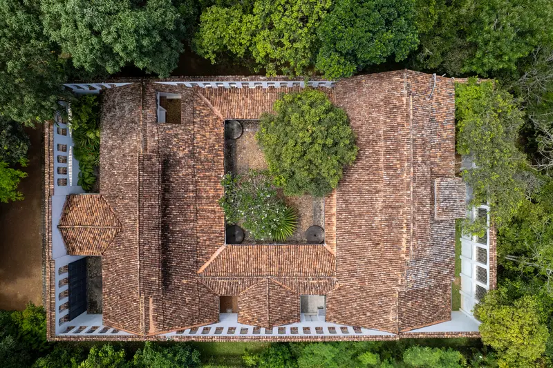
    Geoffrey Bawa bought the former cinnamon and rubber estate on Lake Dedduwa in 1949, developing it for decades into his country seat. The approx. 10-hectare garden is managed by the Lunuganga Trust and accessible via guided tour.
    Open in Google Maps

    Restaurants in Bentota

    1

    Sea View Beach Restaurant

    Here, the day's catch is brought to your table; you choose and have it prepared. Grilled fish is especially popular.
    Show on Google Maps

    Gardens, Entry and Visitor Rules

    The Bawa GardensLunuganga: Guided garden tours daily at 11 AM, 2 PM, and 3 PM according to the Geoffrey Bawa Trust, no prior booking required. Admission for foreigners is 15 to 20 USD according to the Trust's website, children under 7 years free (as of October 2026, information varies).Brief Garden: Open daily, 9 AM to 4 PM according to its own website. Admission 2,000 LKR for adults, half price for children aged 6 to 12 (as of October 2026).TemplesWhen visiting temples like the Kothduwa Island Temple in the Madu Ganga, please note: cover shoulders and knees, remove shoes.

    Getting There and Around

    Getting ThereTrain: From Colombo Fort to Aluthgama, direct trains take about 1 hour 5 minutes. The small Bentota station is served by only a few trains; Aluthgama is about 2.5 kilometers north.Bus: Buses on Galle Road connect Colombo and Aluthgama in about 1 hour 15 minutes.Getting AroundFor Lunuganga, Brief Garden, and the Madu Ganga, you'll need a tuk-tuk or a car with a driver. Boat tours on the Madu Ganga start at Balapitiya.

    Accommodations in Bentota

    Find perfect stay in Bentota

    Booking.com* (Affiliate link)
    Search Hotels
    Agoda* (Affiliate link)
    Search Hotels
    Airbnb
    Vacation Rentals

    * Affiliate link: if you book through it, we earn a small commission. The price stays the same for you.

    Plan your trip to Bentota

    Save places, build a route and plan your city trip, all in one place.

    1. 1
      Sunrise over alpine peaks and a sea of clouds
      1234

      Round trip

      12 days · 4 stops

      Saved

      Pick a route

      Pick a ready-made one or save places and plan your own.

      Open bookmarks
    2. 2

      Trip to Bentota

      Live
      • 1Brief Garden3 days
      • 2The Beach of Bentota4 days
      • 3Lunuganga5 days
      Budget

      Plan your trip

      The planner sorts stops, days and budget. Plan together in real time.

      Start trip planning
    3. 3
      9:41 No signal
      Bentota
      Available offline

      Use it on the road

      Download the guide to your phone and use it on site, even offline.

    Nearby

    Hikkaduwa is located approximately 98 kilometers south of Colombo and 17 kilometers northwest of Galle. The town is known for its coral reef in Sri Lanka's first marine protected area, for sea turtles near the beach, and for surf waves during the season.The fringing reef of Hikkaduwa National Park lies at a depth of about five meters and comprises around 70 coral species. Since 2023, a reef restoration program has been underway under the wildlife protection authority; touching corals is strictly forbidden. Green sea turtles and Hawksbill sea turtles graze on the reef year-round.The beach stretches for several kilometers. At the northern end is Turtle Beach, with Narigama to the south, where bars and guesthouses are abundant. North of the town, in Peraliya and Telwatta, memorials commemorate the 2004 tsunami.
    Galle

    Galle

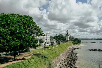
    Galle is the main city on the south coast, approximately 1.5 to 2 hours away from Colombo via the expressway. Its heart is the Fort, an old town enclosed by ramparts, which was declared a UNESCO World Heritage site in 1988 as the "Old Town of Galle and its Fortifications".The Portuguese established a first fortification here in the 16th century, which the Dutch expanded from 1649 onwards; the sea wall was completed in 1729. The Fort covers around 52 hectares with 14 bastions, churches, a mosque, and colonial houses, which today host cafés, boutiques, and restaurants. The walls largely withstood the 2004 tsunami, which damaged parts of the modern city.Outside the ramparts lies the new town with its train station and central bus terminal, both within walking distance of the Fort. Most visitors stay and dine within the walls, for example, around Church Street and Pedlar Street.
    Mount Lavinia

    Mount Lavinia

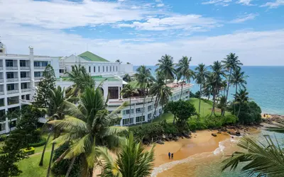
    Mount Lavinia is the coastal suburb south of Colombo, about 14 kilometers from Colombo Fort railway station. Its beach and the historic Mount Lavinia Hotel make it a popular destination for an afternoon by the sea or a sunset dinner.The town borders the urban area of Colombo beyond the Dehiwala Canal, and the coastal railway line towards Matara runs directly along the beach. A legend links its name to Governor Thomas Maitland and the dancer Lovina, though it is not historically proven.
    Unawatuna

    Unawatuna

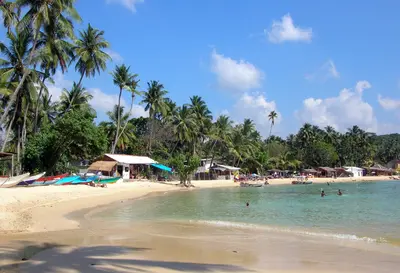
    Unawatuna is a seaside resort on a curving bay about five kilometers southeast of Galle and around 108 kilometers south of Colombo. Due to its proximity to the Fort and the coral reefs off the coast, it is one of the most visited beaches on the south coast.In front of the beach lie reefs and shipwrecks, home to fish and turtles. West of the bay rises the forested hill Rumassala, with the hidden Jungle Beach and the Japanese Peace Pagoda. The 2004 tsunami destroyed many beach restaurants; the development along the beach has since been rebuilt.Life unfolds along the beachfront promenade and in the alleys behind it; quieter accommodations are located towards Dalawella in the east.
    Sinharaja Forest Reserve

    Sinharaja Forest Reserve

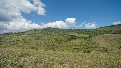
    Sinharaja is Sri Lanka's most famous lowland rainforest, located in the hinterland of the south coast, approximately 120 kilometers southeast of Colombo. Since 1988, the area has been protected as a UNESCO Natural Heritage site and is a destination for birdwatchers and nature hikes.Over 60 percent of the trees are endemic, and 19 of Sri Lanka's 20 endemic bird species are found here. The wildlife also includes leopards and the endemic White-bearded langur. The protected area extends across the districts of Ratnapura, Galle, and Kalutara and is also a UNESCO Biosphere Reserve.Visitors enter the forest through several access points. The most frequently used is the North Entrance near Kudawa, with the Kudawa Conservation Centre; from the south coast, the Southeast Entrance near Deniyaya and Mederipitiya is closer.

    Sources & method

    • Photos: Pexels, Google Maps. Each photo carries its credit.
    • Place data such as addresses and ratings comes from Google Maps.
    • The content is based on web research from public, traceable sources. How the content is made · The role of AI