Fernweh: Home
ExploreGuideDestinationsMy tripsMy trip
de|en
All Places & RegionsRound tripsNight trains in EuropeAll highlightsAbout FernwehFAQPrivacy PolicyImprint
Download on the App StoreGet it on Google Play
ExploreGuideDestinationsMy tripsMy trip
    • Neighborhoods & highlights
    • Eat & drink
    • Culture
    • Getting around
    • Accommodation
    • Plan trip
    • Nearby
    Saint-Paul

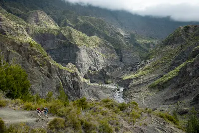
    LeikTech / Wikimedia Commons / CC BY-SA 4.0, mod.

    La Réunion

    Saint-Paul

    City

    Saint-Paul is the main town of the eponymous commune on the west coast of La Réunion, a few kilometers north of the beaches of Saint-Gilles.

    by Felix Gillen

    1. Home
    2. Destinations
    3. La Réunion
    4. West Coast
    5. Saint-Paul
    Saint-Paul is the main town of the eponymous commune on the west coast of La Réunion, a few kilometers north of the beaches of Saint-Gilles. You come here because this bay was where the island's settlement began; the town was the island's capital until Saint-Denis took over this role in 1738.With 106,220 inhabitants (2022), Saint-Paul is one of the island's largest communes. It includes seaside resorts such as Saint-Gilles-les-Bains and La Saline-les-Bains, as well as part of the Mafate cirque. Between the old town and the sea lies the Étang de Saint-Paul, a protected wetland; on the outskirts, the Grotte des Premiers Français commemorates the first settlers. On Fridays and Saturdays, the Marché forain takes place along the waterfront.
    La Réunion travel guideRound trips in La RéunionPlan a trip with Saint-Paul

    Contents

    • Neighborhoods & highlights
    • Eat & drink
    • Culture
    • Getting around
    • Accommodation
    • Nearby

    Sights in Saint-Paul

    Discover the most important sights and attractions

    Attraction

    1Étang de Saint-Paul

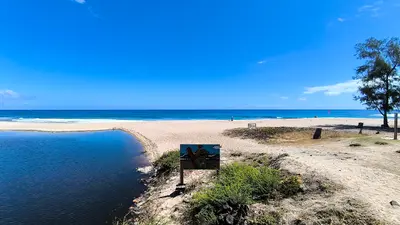
    The largest body of water in France's Indian Ocean overseas departments lies between the old town and the sea, with Chaussée Royale separating it from the center and the bay. It is a national nature reserve and a Ramsar wetland. The Tourist Office recommends kayaking and nature walks.

    Open in Google Maps

    Restaurants in Saint-Paul

    History and Memory

    The First SettlementAccording to tradition, the first French settlers lived in a grotto at the foot of the cliffs after landing in the Bay of Saint-Paul. In 1663, the Saint-Charles expedition led by Louis Payen arrived from Fort-Dauphin in Madagascar; this is often considered the beginning of permanent settlement. The town hall dates from around 1740.New Perspectives on the SiteA slave cemetery, used until 1848, was later found in front of the grotto; in 2007, the region renamed the site “Grotte des premiers Réunionnais”. The grotto itself is closed due to rockfall, but the park in front has been open again since 2016. The facade of the Church de la Conversion-de-Saint-Paul has been a protected monument since 2010.

    Arrival and On the Go

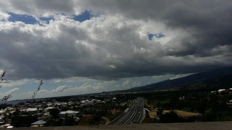
    By CarThe Route des Tamarins is an expressway running halfway along the west coast, connecting Saint-Paul with the southern coastal resorts.By BusSince December 2025, Car-Jaune lines connect Saint-Paul with Saint-Denis and Saint-Pierre, a single fare costs 2 €. Timetables can be found at carjaune.re.

    Accommodations in Saint-Paul

    Find perfect stay in Saint-Paul

    Booking.com* (Affiliate link)
    Search Hotels
    Agoda* (Affiliate link)
    Search Hotels
    Airbnb
    Vacation Rentals

    * Affiliate link: if you book through it, we earn a small commission. The price stays the same for you.

    Plan your trip to Saint-Paul

    Save places, build a route and plan your city trip, all in one place.

    1. 1
      Sunrise over alpine peaks and a sea of clouds
      1234

      Round trip

      12 days · 4 stops

      Saved

      Pick a route

      Pick a ready-made one or save places and plan your own.

      Open bookmarks
    2. 2

      Trip to Saint-Paul

      Live
      • 1Étang de Saint-Paul3 days
      Budget

      Plan your trip

      The planner sorts stops, days and budget. Plan together in real time.

      Start trip planning
    3. 3
      9:41 No signal
      Saint-Paul
      Available offline

      LeikTech / Wikimedia Commons / CC BY-SA 4.0, mod.

      Use it on the road

      Download the guide to your phone and use it on site, even offline.

    Nearby

    Saint-Gilles-les-Bains and L'Hermitage

    Saint-Gilles-les-Bains and L'Hermitage

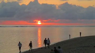
    Saint-Gilles-les-Bains is the best-known seaside resort on the west coast, approximately 40 kilometres south of Saint-Denis, situated between Boucan Canot beach and L'Hermitage lagoon. This former fishing village belongs to the municipality of Saint-Paul.Around the marina, dive schools have been established, and the Aquarium de La Réunion showcases fish from the Mascarene Islands. You can walk to L'Hermitage lagoon, and along the sand, you reach La Saline. Above the village, in Saint-Gilles-les-Hauts, lies the Musée de Villèle.

    Clémenceau Lauret·CC BY-SA 4.0

    West Coast

    West Coast

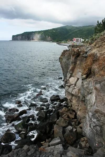
    The west coast is the dry, leeward side of La Réunion and stretches from Saint-Paul via Saint-Gilles-les-Bains to Saint-Leu. Saint-Gilles is located approximately 40 kilometers south of Saint-Denis. Here lie the island's lagoons, protected by a coral reef, which has been part of the Réserve naturelle marine since 2007.This region is the island's bathing center. You can snorkel in the L'Hermitage lagoon, observe humpback whales off Boucan Canot from June to October, and visit the Kélonia turtle center in Saint-Leu. In the hills, the Musée de Villèle and Stella Matutina tell the story of plantation economy, slavery, and sugar.

    Kristy An·Unsplash

    La Saline-les-Bains and Trois-Bassins

    La Saline-les-Bains and Trois-Bassins

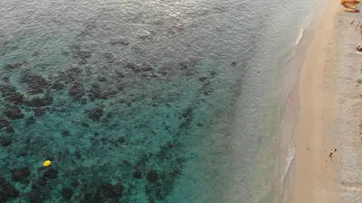
    La Saline-les-Bains is a seaside resort on the west coast, south of Saint-Gilles-les-Bains, and belongs to the municipality of Saint-Paul. You come here for a several-kilometer-long light sandy beach with a shallow lagoon, perfect for swimming and stand-up paddling.This coastal section is located within the Réserve naturelle marine de La Réunion, founded in 2007, which protects 3,500 hectares of reef along 40 kilometers of coastline. To the south, it borders the municipality of Trois-Bassins, featuring the Plage de la Souris Chaude and Grand Bénare (2,898 m) as its highest point.

    BBCLCD·CC BY-SA 4.0

    La Possession and Dos d'Âne

    La Possession and Dos d'Âne

    La Possession is a commune located between Saint-Denis and Le Port, encompassing a large part of the Mafate cirque. You come here for the Cap Noir viewpoint overlooking Mafate in Dos d'Âne, and for Grande Chaloupe with its quarantine station and the paved Chemin des Anglais.The commune has 36,390 inhabitants (2022) and was separated from Saint-Paul in 1890. Dos d'Âne is situated at approximately 1,000 meters on a plateau above the Rivière des Galets. The Route du Littoral connects the town with Saint-Denis.

    Thierry Caro·CC BY-SA 4.0

    Îlets of Mafate: La Nouvelle, Marla, Roche Plate, Aurère

    Îlets of Mafate: La Nouvelle, Marla, Roche Plate, Aurère

    La Nouvelle, Marla, Roche Plate, Aurère, and Îlet à Malheur are hamlets in the Cirque de Mafate, accessible only on foot. You stay overnight here in gîtes when you traverse the cirque on a multi-day tour; La Nouvelle is the largest îlet and is located two to three hours' walk from the Col des Bœufs.Mafate was settled by escaped slaves. Îlet à Malheur is named after a 1829 raid in which approximately forty refugees were killed. Aurère was almost abandoned in the 1960s due to water scarcity; only the Canalisation Augustave, a 5 km long water pipeline built in 1977, restored supply.

    Louis Paulin·Unsplash

    Your next steps

    Saint-Paul is in La Réunion. Ways to carry on from here.

    • More in La Réunion

      Highlights, areas, routes and the best time to travel for all of La Réunion.

      La Réunion travel guide
    • Round trips in La Réunion

      Ready-made routes through La Réunion, with stops, nights and a map.

      See the routes

    Sources & method

    • Photos: Wikimedia Commons. Each photo carries its credit.
    • Place data such as addresses and ratings comes from Google Maps.
    • The content is based on web research from public, traceable sources. How the content is made · The role of AI