Fernweh: Home
    ExploreTravel GuidesPlan a tripMy tripLast visited
    de|en
    All Places & RegionsAll highlightsAbout FernwehFAQPrivacy PolicyImprint
    ExploreTravel GuidesPlan a tripMy tripLast visited
    • Neighborhoods & highlights
    • Eat & drink
    • Nightlife
    • Getting around
    • Accommodation
    • Plan trip
    • Nearby
    Barranco
    Jaime Troncoso / Wikimedia Commons / CC BY-SA 2.0

    Peru

    Barranco

    City

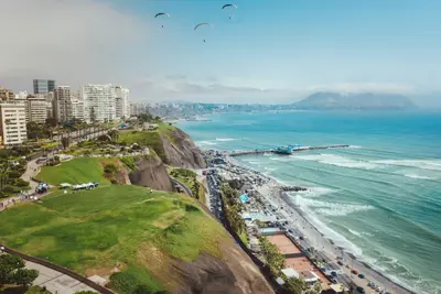
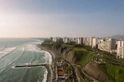
    Barranco is located south of Miraflores on the coastal cliffs and was once a seaside resort for wealthy Limeños.

    by Felix Gillen

    1. Home
    2. Destinations
    3. Peru
    4. Lima
    5. Barranco
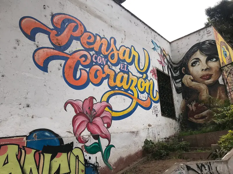
    Barranco is located south of Miraflores on the coastal cliffs and was once a seaside resort for wealthy Limeños. In the early 20th century, writers and artists moved here; today, colorful houses, murals, galleries, cafes, and bars define the district. Barranco is Lima's nightlife district.Its landmark is the wooden Puente de los Suspiros, beneath which the cobbled Bajada de los Baños leads down to the sea. Barranco also houses the MATE photography museum by Mario Testino and the Museo de Arte Contemporáneo (MAC). The Auswärtige Amt names Barranco, alongside Miraflores, as a district where evening thefts occur.

    Sights in Barranco

    Discover the most important sights and attractions

    1Puente de los Suspiros

    The wooden bridge is Barranco's landmark. Beneath it, the paved Bajada de los Baños leads down to the sea. According to a legend, a wish comes true if you cross the bridge holding your breath.
    Open in Google Maps

    Restaurants in Barranco

    Nightlife

    1

    Garrison Bar

    Bar on Jirón 28 de Julio, in the heart of Barranco's nightlife district and a few minutes from the Puente de los Suspiros.
    Show on Google Maps

    On-site adventures

    Getting ThereBarranco borders Miraflores to the south. The cliff path is just a few kilometers by foot or bike. The Metropolitano, which has several stations here, takes you to the old town.In the NeighborhoodThe neighborhood is small and best explored on foot: from Plaza de Barranco, across the Puente de los Suspiros, down to the sea. At night, it's best to take an app-based taxi for the way home.

    Accommodations in Barranco

    Find perfect stay in Barranco

    Booking.com* (Affiliate link)
    Search Hotels
    Agoda* (Affiliate link)
    Search Hotels
    Airbnb
    Vacation Rentals

    * Affiliate link: if you book through it, we earn a small commission. The price stays the same for you.

    Plan your trip to Barranco

    Save places, build a route and plan your city trip, all in one place.

    1. 1
      Sunrise over alpine peaks and a sea of clouds
      1234

      Round trip

      12 days · 4 stops

      Saved

      Pick a route

      Pick a ready-made one or save places and plan your own.

      Open bookmarks
    2. 2

      Trip to Barranco

      Live
      • 1Puente de los Suspiros3 days
      Budget

      Plan your trip

      The planner sorts stops, days and budget. Plan together in real time.

      Start trip planning
    3. 3
      9:41 No signal
      Barranco
      Available offline

      Use it on the road

      Download the guide to your phone and use it on site, even offline.

    Nearby

    Miraflores

    Miraflores

    Miraflores is the district where most travelers in Lima stay. It is located on the steep cliffs above the Pacific: Along the Malecón, parks and pathways stretch, and on the cliff, the Larcomar shopping center is built into the rock. The heart of the neighborhood is Parque Kennedy.Amidst residential blocks stands Huaca Pucllana, a seven-tiered adobe pyramid, which the Lima culture used as a ceremonial and administrative center between approximately 200 and 700 AD. You can visit it with a guided tour, and a small museum is included.
    Lima and Central Coast

    Lima and Central Coast

    The region around the capital is located on the central Pacific coast. Lima, founded in 1535 by Francisco Pizarro, is the main arrival point for international flights; its historic center has been a UNESCO World Heritage site since 1988. Approximately 200 kilometers to the north, in the Supe Valley, lies the Sacred City of Caral, considered by UNESCO to be the oldest center of a civilization in the Americas.
    Centro Histórico (Lima)

    Centro Histórico (Lima)

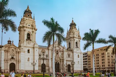
    The historic center of Lima is located in the districts of Lima and Rímac, on the Río Rímac. Its focal point is the Plaza Mayor, where Pizarro founded the city in 1535, bordered by the Cathedral, the Archbishop's Palace with its wooden balconies, and the Government Palace. UNESCO initially added the Monastery of San Francisco to its World Heritage List in 1988 and extended the entry in 1991 to include the entire old town.Two blocks from the Plaza lies the Basilica of San Francisco, featuring a library and catacombs that served as a burial site until the early 19th century. Visit the district during the day; the Foreign Office advises particular caution in the city center in the evenings.
    Lima

    Lima

    Peru's capital lies on the Pacific coast and is the first stop for most travelers. Francisco Pizarro founded it in 1535; as the seat of the Viceroyalty, it became Spanish South America's most important city. Its historic center, with its cathedral, monasteries, and wooden balconies, has been a UNESCO World Heritage site since 1988.For travelers, three districts are particularly important: the Centro Histórico with Plaza Mayor and the San Francisco Monastery, Miraflores with the Malecón along the cliffs and the adobe pyramid Huaca Pucllana, and Barranco, the bohemian district with galleries, murals, and the Puente de los Suspiros. In the Pueblo Libre district, the Museo Larco displays one of the country's great collections of pre-Columbian art.
    Caral

    Caral

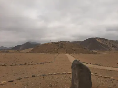
    The Sacred City of Caral is located in the dry Supe Valley, approximately 180 kilometers north of Lima and a good 20 kilometers from the coast. According to radiocarbon dating, it was utilized between approximately 3000 and 1800 BCE. Since 2009, UNESCO has listed it as a World Heritage site and the oldest center of a civilization in the Americas. Visible are step pyramids, plazas, sunken circular courts, and residential areas.It is open daily from approximately 9 AM to 4 PM.Without a car, you can reach Caral by bus to Supe on the Panamericana Norte and from there by Colectivo or taxi. The Colectivos only return until approximately 4 PM.There is little shade on the site, so bring sun protection and water.

    Sources & method

    • Photos: Wikimedia Commons, Google Maps. Each photo carries its credit.
    • Place data such as addresses and ratings comes from Google Maps.
    • The content is based on web research from public, traceable sources. How the content is made · The role of AI