Fernweh: Home
ExploreGuideDestinationsMy tripsMy trip
de|en
All Places & RegionsRound tripsNight trains in EuropeAll highlightsAbout FernwehFAQPrivacy PolicyImprint
Download on the App StoreGet it on Google Play
ExploreGuideDestinationsMy tripsMy trip
    • Places & highlights
    • Recommendations
    • Eat & drink
    • Food culture
    • Culture
    • Getting around
    • Accommodation
    • Nearby
    Wasdale & Scafell Pike

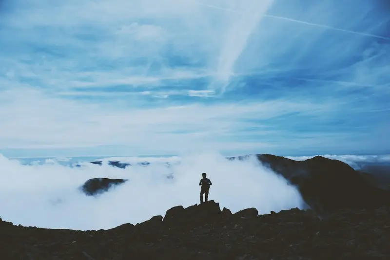
    Photo: Unsplash

    Great Britain

    Wasdale & Scafell Pike

    Point of Interest

    Wasdale is the most remote valley in the Lake District, in the west of the National Park and with no road connection to the other valleys, except via long detours or the Hardknott and Wrynose Pass roads.

    by Felix Gillen

    1. Home
    2. Destinations
    3. Great Britain
    4. Lake District National Park
    5. Wasdale & Scafell Pike
    Wasdale is the most remote valley in the Lake District, in the west of the National Park and with no road connection to the other valleys, except via long detours or the Hardknott and Wrynose Pass roads. The valley ends at a handful of houses in Wasdale Head, surrounded by Great Gable, Kirk Fell, and the Scafell massif.Here lies Wast Water, at around 79 metres England's deepest lake, whose southeast shore is formed by the steep scree slopes of The Screes. From the head of the valley, the shortest path leads to Scafell Pike, at 978 metres England's highest mountain. The ascent takes five to six hours round trip and requires good equipment.
    Great Britain travel guideRound trips in Great BritainPlan a trip with Wasdale & Scafell Pike

    Contents

    • Places & highlights
    • Recommendations
    • Eat & drink
    • Food culture
    • Culture
    • Getting around
    • Accommodation
    • Nearby

    Sehenswürdigkeiten

    Discover the most important sights and attractions

    1Southern Fells

    Hiking author Alfred Wainwright referred to the mountain group between Wasdale, Eskdale, and Langdale as the Southern Fells, which includes England's highest peaks: Scafell Pike at 978 metres, Scafell, Bowfell, Crinkle Crags, and Great End. The rock is of volcanic origin, the ridges are rocky, and the summit plateaus are strewn with scree.Hikes here are long and demanding. In fog, navigation on the scree fields is difficult, and the weather changes rapidly. Map, compass, and waterproof clothing are essential, even in summer.
    Open in Google Maps

    2Lingcove Bridge and Waterfalls

    Lingcove Bridge is an old stone packhorse bridge in upper Eskdale, the neighbouring valley south of Wasdale. It spans Lingcove Beck just before its confluence with the Esk; all around, small waterfalls plunge into clear rock pools.The path from Brotherilkeld at the foot of Hardknott Pass takes about an hour and a half and leads through a secluded valley. In summer, hikers bathe here in the rock pools. The bridge is a starting point for an ascent via Esk Hause to Scafell Pike.
    Open in Google Maps

    3St Olaf's Church, Wasdale Head

    St Olaf in Wasdale Head is considered one of England's smallest churches, a simple building between yew trees at the valley's end. According to tradition, its roof beams are from ships' timber, and its dedication to the Norwegian King Olaf points to the Scandinavian settlement of the valleys.The small cemetery holds the graves of several climbers who perished on the surrounding fells. A small window is dedicated to the Fell and Rock Climbing Club and shows the silhouette of Napes Needle, a well-known climbing rock on Great Gable.
    Open in Google Maps

    Restaurants in Wasdale & Scafell Pike

    1

    Ritson's Bar (Wasdale Head Inn)

    The bar at the Wasdale Head Inn at the valley's end is the only stop for miles around and is considered the birthplace of British climbing: From the 1880s, the first rock climbers met here. It is named after Will Ritson, a 19th-century innkeeper famous for his tall tales. Hearty dishes and beers are served; historical climbing photos adorn the walls.
    Show on Google Maps

    Food and Drink

    Wasdale Head Inn

    The only stop at the valley head, with hearty dishes and beers from its own brewing tradition.

    Herdwick lamb

    Meat from mountain sheep in the valleys is a regional specialty with Protected Designation of Origin.

    Supplies

    Shopping options in the valley are scarce. Bring food and drink for the entire day, especially for the tour up Scafell Pike.

    Culture & History

    Cradle of ClimbingIn 1886, Walter Haskett Smith made the first ropeless ascent of Napes Needle, a rock tower on Great Gable. This climb marks the beginning of rock climbing as an independent sport in Great Britain. The Wasdale Head Inn became the meeting point for early climbers.Scandinavian TracesMany names in the valley stem from 10th-century Norwegian settlers: fell for mountain, beck for stream, tarn for mountain lake. The church is also dedicated to the Norwegian King Olaf.Sheep FarmingThe valley fells have been grazed by Herdwick sheep for centuries; the dry-stone walls in Wasdale Head form a dense network of small fields.

    Exploring locally

    Getting ThereThere is no regular bus service to Wasdale. The nearest train stations are Seascale or Drigg on the Cumbrian Coast Line; from there you will need a taxi. By car, you can reach the valley via Gosforth.Pass RoadsThe eastern connection is via Hardknott and Wrynose, two of England's steepest roads with gradients of around 30 percent. They are single-track and dangerous in snow and ice.ParkingAt the head of the valley, there is a National Trust car park which fills up early in good weather. Do not park in passing places or block gate access.

    Accommodations in Wasdale & Scafell Pike

    Find perfect stay in Wasdale & Scafell Pike

    Booking.com* (Affiliate link)
    Search Hotels
    Agoda* (Affiliate link)
    Search Hotels
    Airbnb
    Vacation Rentals

    * Affiliate link: if you book through it, we earn a small commission. The price stays the same for you.

    Campgrounds in Wasdale & Scafell Pike

    Find perfect campground in Wasdale & Scafell Pike

    Search via Google Maps
    Campgrounds nearby (15km)
    Camping.info
    Find Campgrounds
    Park4Night
    RV Parks & Camping

    Nearby

    Lake District National Park

    Lake District National Park

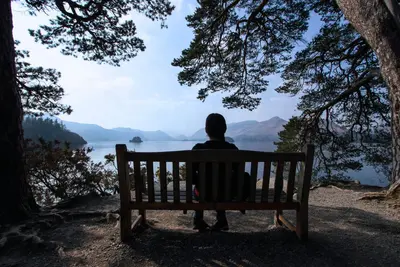
    The Lake District in northwest England is the country's largest national park and a UNESCO World Heritage site since 2017. Sixteen large lakes lie here amidst barren mountains, the Fells, including Scafell Pike, England's highest peak; plus sheep pastures, dry stone walls, and villages built from grey slate.This landscape has inspired poets like William Wordsworth and children's author Beatrix Potter, and remains England's classic hiking destination to this day. The south around Windermere is heavily visited, while the western valleys are significantly more solitary.

    Brian Austwick·Pexels

    Ambleside & Grasmere

    Ambleside & Grasmere

    Ambleside and Grasmere lie in the centre of the Lake District, six kilometres apart and linked by the Rothay Valley with Rydal Water. Ambleside, at the northern end of Windermere, is a lively spot with many outdoor shops, cafes and pubs, and one of the main starting points for walks.Grasmere is quieter and closely linked to William Wordsworth, who lived in Dove Cottage and is buried in the village churchyard. A popular walking path connects both places, passing Rydal Water and Rydal Cave; for those wanting more, climb Loughrigg Fell or Helm Crag.

    Unsplash

    Keswick

    Keswick

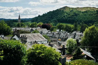
    Keswick is the largest town in the northern Lake District, a market town built of grey slate at the northern end of Derwentwater. Surrounding it are some of the region's most famous mountains: Skiddaw to the north, Blencathra to the east, Catbells and the Newlands Fells to the west.The Moot Hall, built in 1813, stands in the town square, hosting a Saturday market. Keswick thrived on mining: graphite, discovered here in the 16th century, led to a pencil industry. Today, it's primarily a base for hikers and boat trips on the lake.

    Yohantha Gunawarna·Pexels

    Windermere & Bowness-on-Windermere

    Windermere & Bowness-on-Windermere

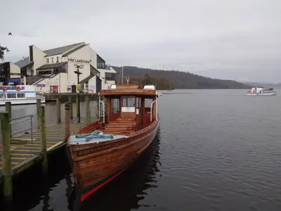
    Windermere is England's largest natural lake, stretching for around 18 kilometres. On its eastern shore lie two conjoined towns: Windermere on the hill around the railway station, which brought tourism to the Lake District from 1847 onwards, and Bowness-on-Windermere down by the water with boat piers, a promenade, and Victorian hotels.Bowness is the National Park's most visited place and accordingly lively in summer. From here, boats sail to Ambleside and Lakeside, and a car ferry crosses to the west shore, where Beatrix Potter's Hill Top is located. Above the town, Orrest Head offers a first view over the lake within 20 minutes.

    Jatman 0007·Pexels

    Ullswater

    Ullswater

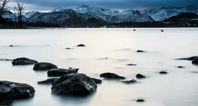
    Ullswater, approximately 14 kilometers long, is the second-largest lake in the Lake District and has the shape of an elongated 'Z' between Pooley Bridge in the north and Glenridding in the south. It is quieter than Windermere, and the mountains at its southern end, especially Helvellyn, give it an almost alpine character.Since 1859, the Ullswater Steamers have plied the lake, now with some historic motor vessels, operating between Pooley Bridge, Howtown, Aira Force, and Glenridding. The Ullswater Way, a 32-kilometer path, encircles the lake and can be walked in stages, with boat connections.

    Unsplash

    Your next steps

    Wasdale & Scafell Pike is in Great Britain. Ways to carry on from here.

    • More in Great Britain

      Highlights, areas, routes and the best time to travel for all of Great Britain.

      Great Britain travel guide
    • Round trips in Great Britain

      Ready-made routes through Great Britain, with stops, nights and a map.

      See the routes
    • Plan a trip with Wasdale & Scafell Pike

      The Guide asks about season, length and who is coming, and suggests a trip with Wasdale & Scafell Pike.

      Plan the trip

    Sources & method

    • Photos: Unsplash. Each photo carries its credit.
    • Place data such as addresses and ratings comes from Google Maps.
    • The content is based on web research from public, traceable sources. How the content is made · The role of AI