Fernweh: Home
    ExploreTravel GuidesPlan a tripMy tripLast visited
    de|en
    All Places & RegionsAll highlightsAbout FernwehFAQPrivacy PolicyImprint
    ExploreTravel GuidesPlan a tripMy tripLast visited
    • Neighborhoods & highlights
    • Walking tours
    • Eat & drink
    • Culture
    • Getting around
    • Accommodation
    • Plan trip
    • Nearby
    Kota Bharu
    Marufish from Alor Setar, Malaysia / Wikimedia Commons / CC BY-SA 2.0

    Malaysia

    Kota Bharu

    CityCulture

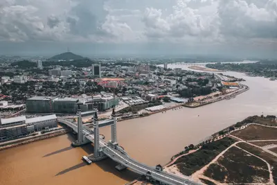
    Kota Bharu is the capital of Kelantan in the northeast of the peninsula, near the Thai border.

    by Felix Gillen

    1. Home
    2. Destinations
    3. Malaysia
    4. East Coast
    5. Kota Bharu
    Kota Bharu is the capital of Kelantan in the northeast of the peninsula, near the Thai border. The city is considered a stronghold of Malay culture: Here, Batik, Songket, and Wau-Bulan kites are crafted, and the Wayang Kulit shadow puppet theatre has a long tradition.Life revolves around the Pasar Siti Khadijah and, in the evening, the night market. Kelantan is strictly Muslim, alcohol is scarce, and clothing should cover shoulders and knees.

    Sights in Kota Bharu

    Discover the most important sights and attractions
    Kalimi Wau Bulan

    1Kalimi Wau Bulan

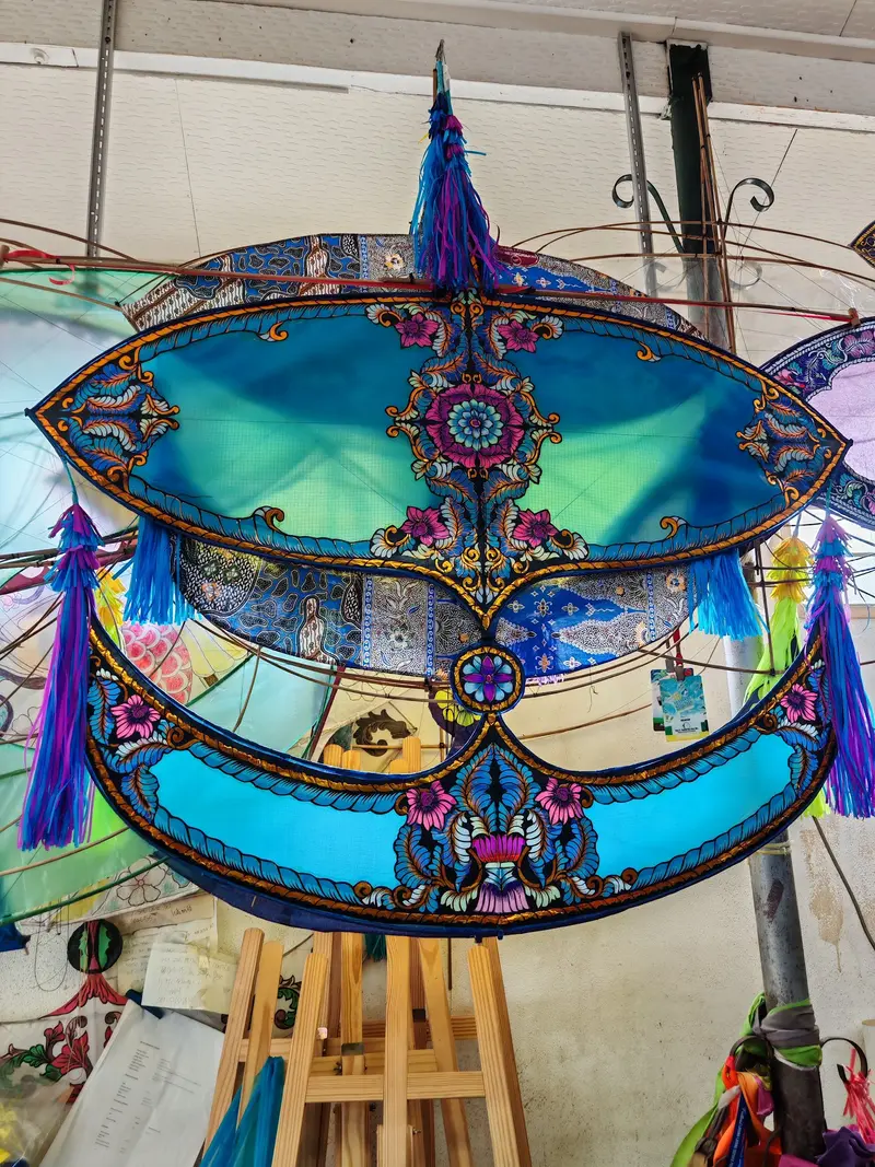
    In the small workshop, Wau Bulan, the moon-shaped kites that are a symbol of Kelantan, are crafted. You can watch as bamboo frames are bent and covered with intricately cut paper. Small kites are also for sale.
    Open in Google Maps
    Masjid Muhammadi

    2Masjid Muhammadi

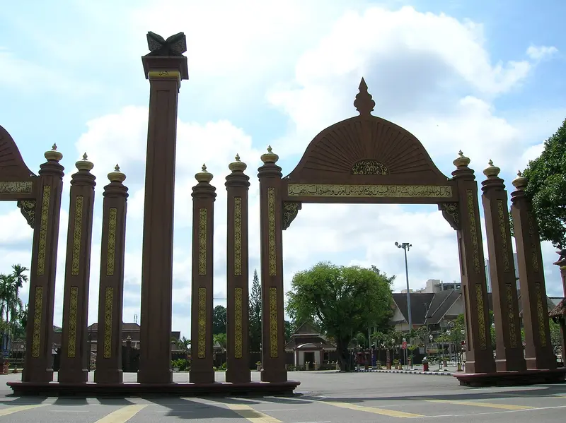
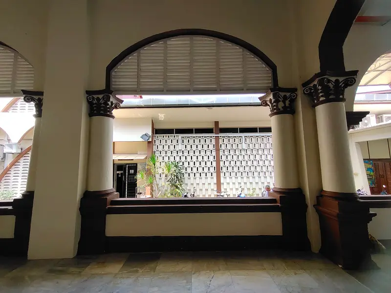
    The State Mosque of Kelantan dates back to a wooden structure from 1867, with the current concrete buildings dating from 1922. It stands at Padang Merdeka near the palaces and is notable for its clock tower. Outside prayer times, you can enter the courtyard with appropriate attire.
    Open in Google Maps
    Pasar Siti Khadijah
    Market

    3Pasar Siti Khadijah

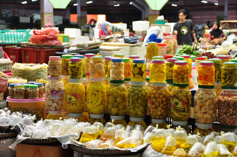
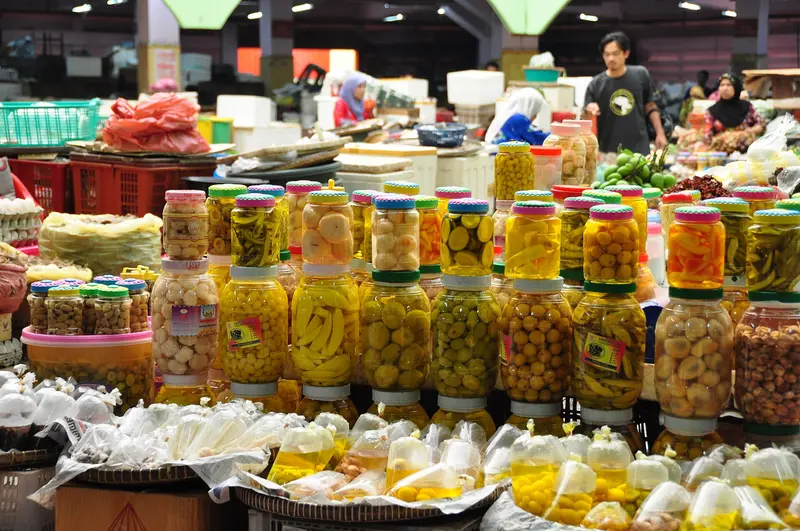
    The multi-storey market hall is the city's most famous market, with most stalls run by women. Downstairs there's fish, vegetables, and fruit; on the upper floors, you'll find dry goods, Kuih, colourful cakes, simple dishes like Nasi Kerabu, as well as fabrics and other wares. It's liveliest in the morning.
    Open in Google Maps
    Istana Jahar
    Museum

    4Istana Jahar

    The 1887 wooden palace long served as a royal residence and today houses the Museum of Royal Customs and Ceremonies of Kelantan (Muzium Adat Istiadat Diraja). On display are objects from court life, old carriages, and boats. Pay attention to the carvings on beams and doors. The museums in the square are closed on Fridays.
    Open in Google Maps

    City walks in Kota Bharu

    Curated walking tours through the city's highlights, handpicked by experienced travel journalists.

    Das Herz von Kota Bharu: Eine Kultur- und Markt-Entdeckungstour

    Erleben Sie das pulsierende Herz von Kota Bharu auf diesem zweistündigen Spaziergang. Tauchen Sie ein in die reiche Kultur, die lebhaften Märkte und die faszinierende Geschichte der Hauptstadt von Kelantan. Von traditionellem Handwerk bis zu königlichen Palästen – diese Tour bietet einen authentischen Einblick in das lokale Leben.

    ~2 Std.
    Open in Google Maps
    Stops (6)

    Essen & Trinken

    Kelantan's Culture

    Kelantan was long closely linked to the Kingdom of Siam before it came under British influence. This proximity to Thailand shapes its cuisine and dialect to this day.The city is known for its handicrafts: Wau Bulan, large moon-shaped kites, Songket brocade, and silverwork. Culinary, Nasi Kerabu represents Kelantan: blue-colored rice with herbs, toasted coconut, and fish.

    Arrival and On the Road

    The **Sultan Ismail Petra** Airport is in Pengkalan Chepa, a few kilometers outside the center. Flights from Kuala Lumpur take about an hour. Long-distance buses connect the city with Kuala Terengganu and Kuala Lumpur.Explore the center with its market, palace, and mosque on foot. For workshops further out and trips to Kuala Besut, take **Grab** or a taxi.

    Accommodations in Kota Bharu

    Find perfect stay in Kota Bharu

    Booking.com* (Affiliate link)
    Search Hotels
    Agoda* (Affiliate link)
    Search Hotels
    Airbnb
    Vacation Rentals

    * Affiliate link: if you book through it, we earn a small commission. The price stays the same for you.

    Plan your trip to Kota Bharu

    Save places, build a route and plan your city trip, all in one place.

    1. 1
      Sunrise over alpine peaks and a sea of clouds
      1234

      Round trip

      12 days · 4 stops

      Saved

      Pick a route

      Pick a ready-made one or save places and plan your own.

      Open bookmarks
    2. 2

      Trip to Kota Bharu

      Live
      • 1Kalimi Wau Bulan3 days
      • 2Masjid Muhammadi4 days
      • 3Pasar Siti Khadijah5 days
      Budget

      Plan your trip

      The planner sorts stops, days and budget. Plan together in real time.

      Start trip planning
    3. 3
      9:41 No signal
      Kota Bharu
      Available offline

      Use it on the road

      Download the guide to your phone and use it on site, even offline.

    Nearby

    Perhentian Islands

    Perhentian Islands

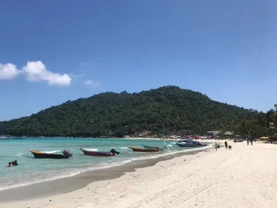
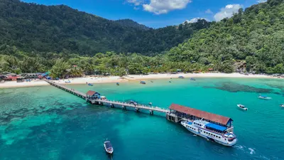
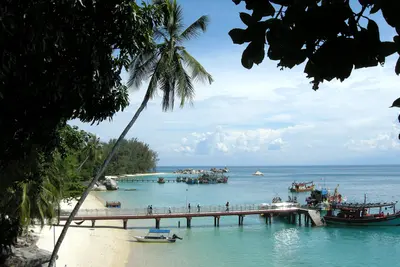
    The Perhentian Islands, off the northeast coast of the Malaysian Peninsula, are two car-free islands with white beaches and coral reefs. You come here for snorkeling, diving, and simple beach days, free from roads and traffic.The islands belong to the state of Terengganu and have been protected as a marine park since 1994. From the mainland port of Kuala Besut, a speedboat will take you over in 30 to 45 minutes. The larger island, Perhentian Besar, is quieter and features family-friendly resorts, while Perhentian Kecil, with Long Beach and Coral Bay, primarily attracts backpackers. Between the beaches, you can travel by water taxi or walk along jungle paths.While snorkeling, you'll see blacktip reef sharks, sea turtles, and coral fish; dive schools offer courses.
    Setiu Wetlands

    Setiu Wetlands

    The Setiu Wetlands in northern Terengganu are among the largest natural wetlands on the East Coast: a landscape of approximately 23,000 hectares, comprising mangroves, river channels, islands, and sandbanks between the coastal road and the sea. Fishing villages and fish farms characterize the area, which is hardly developed for tourism.By boat, you travel through the mangrove channels, observe birds, and see how the villagers live from the water. The critically endangered Callagur Terrapin (Painted Terrapin) lives in the area.
    Pulau Redang

    Pulau Redang

    Pulau Redang is located off the coast of Terengganu and is the largest island in a marine protected area comprising several smaller islands. White beaches, clear waters, and coral reefs make it a popular destination for snorkelers and divers.Unlike the Perhentian Islands, Redang caters to package holidays: Most guests book packages including transfers, full board, and snorkeling tours. Budget accommodation is scarce.
    Kuala Terengganu

    Kuala Terengganu

    Kuala Terengganu, the capital of the state of Terengganu, is located at the mouth of the river of the same name into the South China Sea. The city has a conservative-Muslim character and is noticeably quieter than the metropolises of the West Coast. At Pasar Payang you buy batik and songket, in Kampung Cina you sit in old coffee houses.On a river island, the glass Masjid Kristal reflects in the water. Many travelers pass through the city on their way to Pulau Redang.
    East Coast

    East Coast

    The East Coast of the Malaysian Peninsula is more rural and conservative than the West Coast. Off the coast lie islands with clear waters and coral reefs: the Perhentian Islands, Pulau Redang, Pulau Tioman, and the smaller Pulau Kapas. On land, you'll find fishing villages, long beaches, and the cities of Kota Bharu and Kuala Terengganu with their markets and craft traditions.The weather dictates travel planning: From approximately November to February or March, the Northeast Monsoon brings heavy rain and high waves. The islands are not officially closed, but many resorts shut down, boats run infrequently, and not at all in rough seas.

    Sources & method

    • Photos: Wikimedia Commons, Google Maps. Each photo carries its credit.
    • Place data such as addresses and ratings comes from Google Maps.
    • The content is based on web research from public, traceable sources. How the content is made · The role of AI