Fernweh: Home
    ExploreTravel GuidesPlan a tripMy tripLast visited
    de|en
    All Places & RegionsAll highlightsAbout FernwehFAQPrivacy PolicyImprint
    ExploreTravel GuidesPlan a tripMy tripLast visited
    • Neighborhoods & highlights
    • Eat & drink
    • Culture
    • Getting around
    • Accommodation
    • Plan trip
    • Nearby
    Arugam Bay

    Sri Lanka

    Arugam Bay

    City

    Arugam Bay is located on the southeastern coast, approximately four kilometers south of Pottuvil and about 320 kilometers east of Colombo.

    by Felix Gillen

    1. Home
    2. Destinations
    3. Sri Lanka
    4. East Coast
    5. Arugam Bay
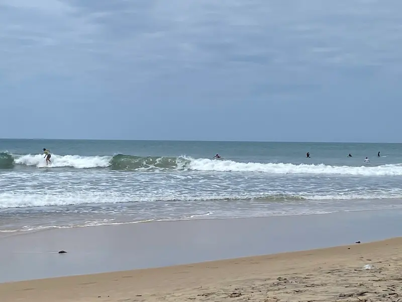
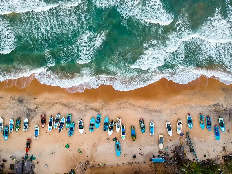
    Arugam Bay is located on the southeastern coast, approximately four kilometers south of Pottuvil and about 320 kilometers east of Colombo. The place is Sri Lanka's most famous surf spot and has been hosting most of the country's international surfing competitions since 2004.Life unfolds along the main road behind the beach, with guesthouses, cafés, surf shops, and beach bars. Main Point is the most famous break; other spots like Whiskey Point, Peanut Farm, and Elephant Rock can be reached by tuk-tuk.The surf season largely coincides with the dry season on the east coast, with the most consistent waves from July to September. Beyond the water, the Muhudu Maha Viharaya temple near Pottuvil is worth a visit, as are safaris in the Lahugala-Kitulana and Kumana National Parks.

    Sights in Arugam Bay

    Discover the most important sights and attractions

    Main Point
    Point of Interest

    1Main Point

    Sri Lanka’s most famous surf break is a powerful right-hand wave that on good days reaches six feet (around 1.8 meters) and more, suitable for advanced surfers. Nearby is Baby Point, with smaller waves for beginners.
    Open in Google Maps
    Elephant Rock
    Attraction

    2Elephant Rock

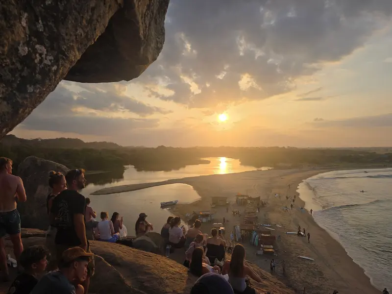
    Gentle right-hand waves for beginners and advanced surfers, set against a striking rock backdrop. This spot is also popular at sunset.
    Open in Google Maps
    Peanut Farm
    Beach

    3Peanut Farm

    A right-hand point break with two sections: a mellower wave for beginners and a faster one for advanced surfers. It works best with larger swell; according to surf guides, the best time is July to November.
    Open in Google Maps
    Lahugala Kitulana National Park
    National Park

    4Lahugala Kitulana National Park

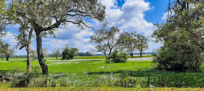
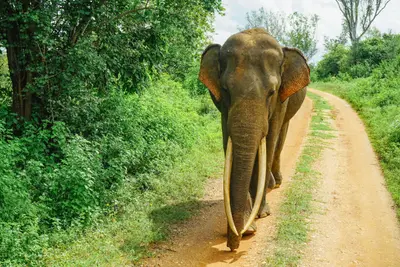
    The small, 1,554-hectare park has been a National Park since 1980 and includes the Lahugala, Kitulana, and Sengamuwa reservoirs. Around the Lahugala Tank, a herd of approximately 150 elephants grazes, also migrating between Lahugala and Kumana.
    Open in Google Maps
    Kumana National Park
    National Park

    5Kumana National Park

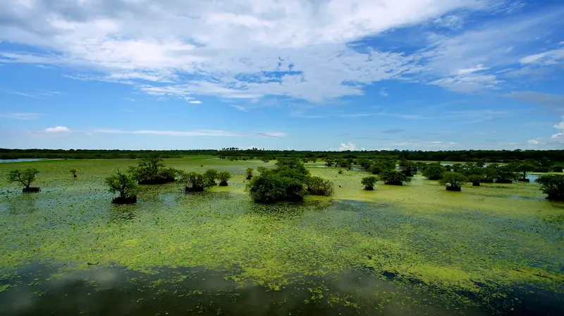
    Founded in 1970, the park covers approximately 35,700 hectares and has been a Ramsar wetland since 2010. Around 255 bird species have been recorded here; from April to July, tens of thousands of birds gather in the Kumana Villu swamp. It's about 44 kilometers from Arugam Bay.
    Open in Google Maps
    Muhudu Maha Viharaya
    Place of Worship

    6Muhudu Maha Viharaya

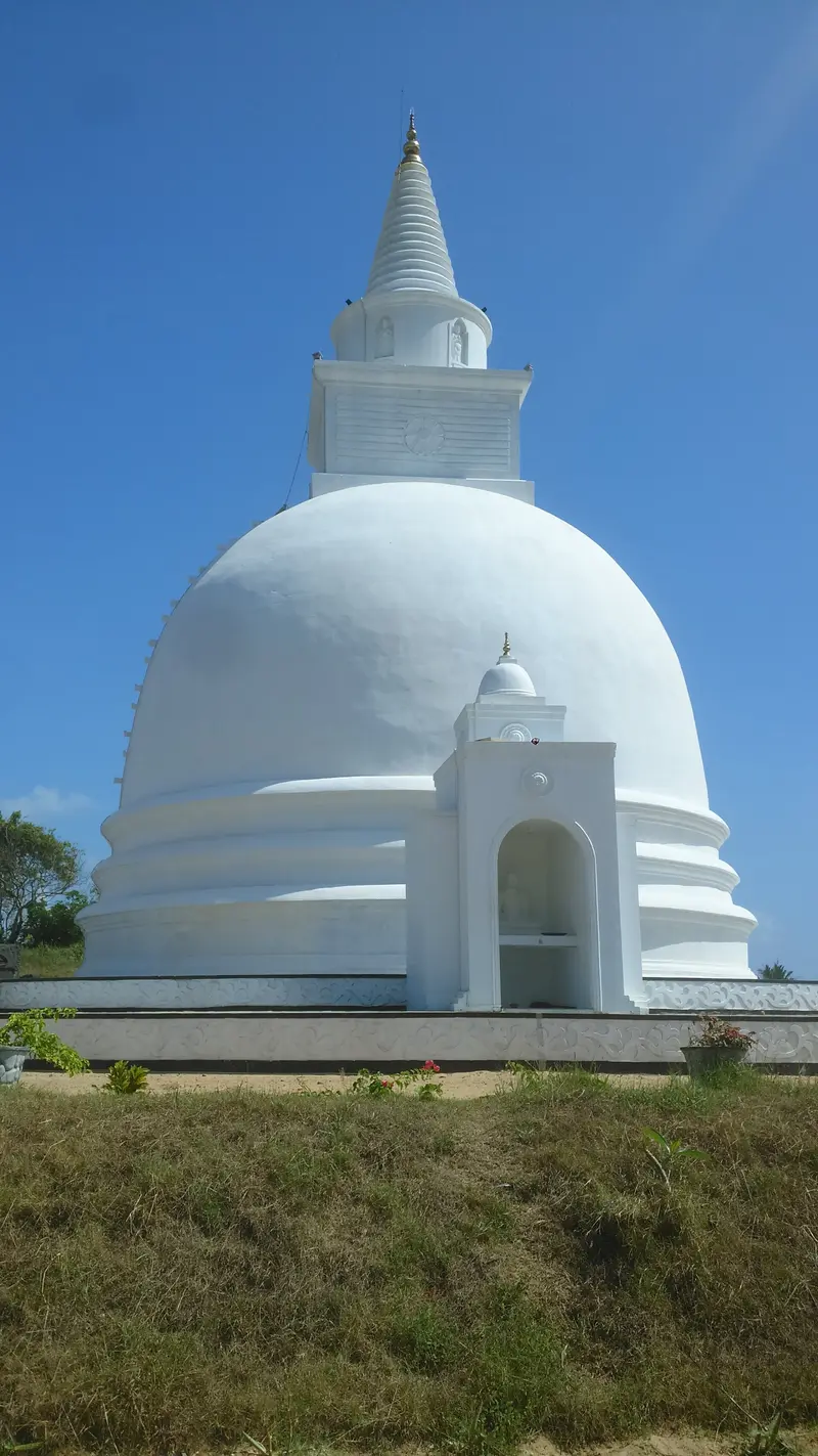
    The temple complex on Pottuvil beach is believed, according to tradition, to have been built by King Kavan Tissa in the 2nd century BC, while inscriptions suggest a founding in the 5th century AD. Visible are remains of stupas, monastery structures, and Buddha and Bodhisattva statues.
    Open in Google Maps

    Restaurants in Arugam Bay

    1

    The Sketch

    The restaurant is fisherman-run, serving the day's catch, such as fish curry or whole grilled fish with Sri Lankan sides.
    Show on Google Maps
    2

    Shady Lane

    Cafe in a courtyard with a boutique, serving coffee, smoothie and poke bowls, French toast and eggs on sourdough bread.
    Show on Google Maps

    Culture, Parks and Etiquette

    Temples and LegendsThe Muhudu Maha Viharaya near Pottuvil is linked to the legend of Princess Viharamahadevi, who chronicles say was set adrift in a boat and landed here. For temple visits, cover shoulders and knees and remove shoes.National ParksKumana and Lahugala-Kitulana are managed by the Department of Wildlife Conservation. Entrance fees for foreigners vary in sources; check the current rates before your visit.Park entrance is often not included in the price of booked jeep safaris.SafetyFor current travel and safety advisories, including the situation in Arugam Bay, consult the UK government's FCDO travel advice (gov.uk/foreign-travel-advice).

    Getting There and Around

    From ColomboDirect buses to Pottuvil depart from Colombo-Pettah and Maharagama and take 8 to 12 hours depending on the source.According to a travel portal, a luxury night bus departs daily from Colombo at 9 PM and arrives around 3:15 AM, bookable via sltb.eseat.lk.With a private driver, the journey is significantly shorter.From EllaIf you're coming from the highlands, take a bus from Ella to Pottuvil, which takes approximately 3 to 4 hours.LocallyFrom Pottuvil, Arugam Bay is about a 10-minute tuk-tuk ride. Reach surf spots outside the bay and national parks by tuk-tuk or safari jeep. Kumana is roughly 44 kilometers away, via Panama and Okanda.

    Accommodations in Arugam Bay

    Find perfect stay in Arugam Bay

    Booking.com* (Affiliate link)
    Search Hotels
    Agoda* (Affiliate link)
    Search Hotels
    Airbnb
    Vacation Rentals

    * Affiliate link: if you book through it, we earn a small commission. The price stays the same for you.

    Plan your trip to Arugam Bay

    Save places, build a route and plan your city trip, all in one place.

    1. 1
      Sunrise over alpine peaks and a sea of clouds
      1234

      Round trip

      12 days · 4 stops

      Saved

      Pick a route

      Pick a ready-made one or save places and plan your own.

      Open bookmarks
    2. 2

      Trip to Arugam Bay

      Live
      • 1Main Point3 days
      • 2Elephant Rock4 days
      • 3Peanut Farm5 days
      Budget

      Plan your trip

      The planner sorts stops, days and budget. Plan together in real time.

      Start trip planning
    3. 3
      9:41 No signal
      Arugam Bay
      Available offline

      Use it on the road

      Download the guide to your phone and use it on site, even offline.

    Nearby

    Yala National Park

    Yala National Park

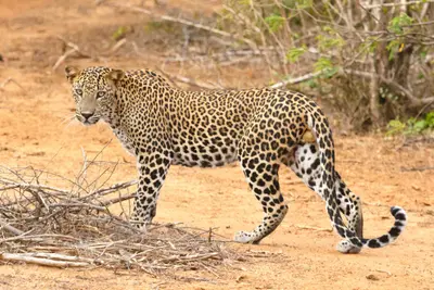
    Yala National Park, located in southeast Sri Lanka, is the country's most famous protected area, spanning approximately 979 square kilometers; the shortest road connection from Colombo is about 270 kilometers. It is considered one of the areas with the highest leopard density in the world and is therefore the main destination for safaris in the south.The area was declared a wildlife sanctuary in 1900 and a national park in 1938. It is divided into blocks, with Blocks 1 and 2 being the most visited. Besides leopards, Sri Lanka elephants and sloth bears live here, and on the coast, the park borders the Indian Ocean.Within the park, there are also ancient Buddhist sites such as the rock monastery Sithulpawwa and the Magul Maha Viharaya. The nearest town is Kataragama.
    Ella

    Ella

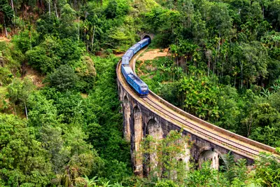
    Ella is a small town on the southeastern edge of the highlands and the region's most popular hiking base. From here, you can reach the Nine Arches Bridge, Little Adam's Peak, and Ella Rock on foot; the railway line from Nanu Oya ends here for many travelers.Life revolves around the main street between the train station and bus stop, where cafés, restaurants, and bars line up. East of the town lies the area around the Nine Arches Bridge near Demodara, while to the south, the road leads down to the Ravana Falls towards Wellawaya.Since June 20, 2026, trains have been stopping in Ella again, after the Nanu Oya to Badulla section was closed for about seven months due to cyclone damage.
    Haputale

    Haputale

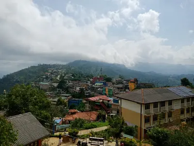
    Haputale is a mountain town on the southern edge of the Highlands, west of Ella, situated on a narrow ridge above tea slopes. You come for Lipton's Seat, the Dambatenne tea factory, and Adisham Monastery, all reachable on day trips.The small town center, with its train station, bus stand, and simple eateries, stretches along the ridge. To the east, the road leads through the Dambatenne plantations up to Lipton's Seat; to the west, Adisham Monastery lies in the forests.Haputale is located on the Highland Line, where trains have been running again between Nanu Oya and Badulla since June 2026.
    Udawalawe National Park

    Udawalawe National Park

    Udawalawe National Park is situated on the border of Uva and Sabaragamuwa provinces, approximately 165 kilometers from Colombo and north of the South Coast. It is renowned for excellent year-round elephant sightings and makes for a perfect day trip from the coast.The park was established on June 30, 1972, partly to protect animals that lost their habitat due to the construction of the Udawalawe Reservoir on the Walawe River. It covers approximately 308 square kilometers; a herd of an estimated 250 elephants lives here permanently, though tour guides often cite significantly higher total numbers.With 184 documented bird species, including 33 migratory birds, the park is also appealing to birdwatchers. Located at its edge is the Elephant Transit Home, where orphaned elephant calves are raised. The nearest town is Embilipitiya.
    Horton Plains National Park

    Horton Plains National Park

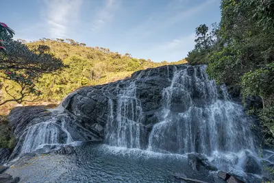
    Horton Plains National Park is a high plateau at around 2,000 meters, approximately 20 kilometers south of Nuwara Eliya and 20 kilometers west of Haputale. It is known for its circular trail to World's End cliff and Baker's Falls, the only national park trail in Sri Lanka you are allowed to hike without a guide.The 3,160-hectare park lies between Kirigalpotta and Totapola, the island's second and third highest peaks. Highland forest and wet grassland characterize the landscape, with an average temperature of about 16 degrees. Sambar deer are most frequently encountered, but wild boars and leopards also live here.It’s worth setting off early: From late morning onwards, clouds often roll in and obscure the view from World’s End.

    Sources & method

    • Photos: Wikimedia Commons, Pexels, Google Maps. Each photo carries its credit.
    • Place data such as addresses and ratings comes from Google Maps.
    • The content is based on web research from public, traceable sources. How the content is made · The role of AI