Fernweh: Home
    ExploreTravel GuidesPlan a tripMy tripLast visited
    de|en
    All Places & RegionsAll highlightsAbout FernwehFAQPrivacy PolicyImprint
    ExploreTravel GuidesPlan a tripMy tripLast visited
    Pulau Gaya
    Bahnfrend / Wikimedia Commons / CC BY-SA 4.0

    Malaysia

    Pulau Gaya

    Island

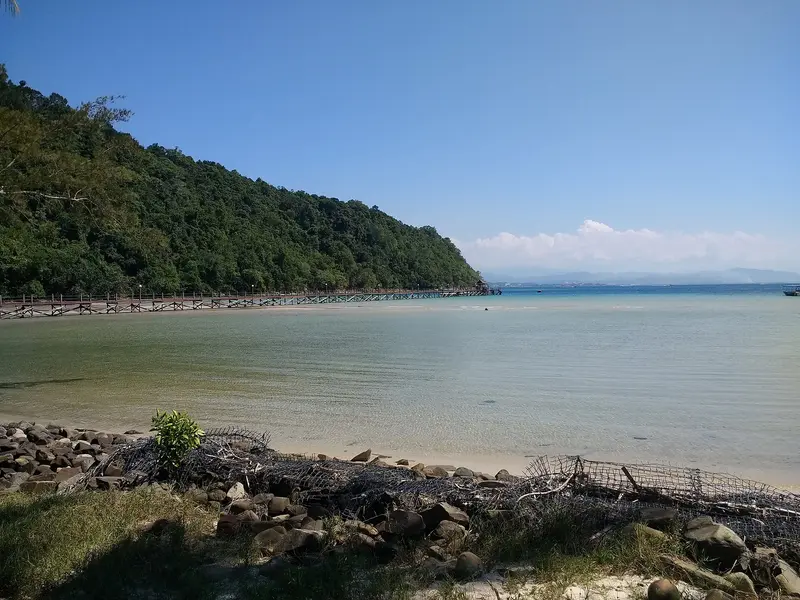
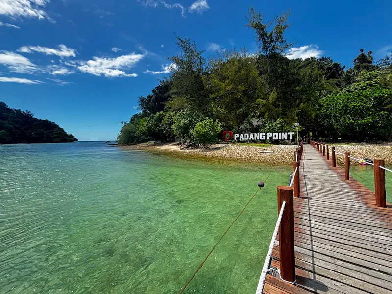
    Pulau Gaya is, at around 15 square kilometers, the largest of the five islands in Tunku Abdul Rahman Park and lies directly opposite Kota Kinabalu.

    by Felix Gillen

    1. Home
    2. Destinations
    3. Malaysia
    4. Kota Kinabalu
    5. Pulau Gaya
    Pulau Gaya is, at around 15 square kilometers, the largest of the five islands in Tunku Abdul Rahman Park and lies directly opposite Kota Kinabalu. A forested ridge, up to 300 meters high, stretches across the island, with bays featuring sandy beaches, mangroves, and coral reefs along its edges.Around 20 kilometers of marked trails lead through the forest, including a boardwalk through a mangrove swamp. For swimming and snorkeling, you head to Police Beach on the north side. You can stay overnight in three resorts. At the eastern tip, outside the park, are large stilt villages.

    Sights

    Discover the most important sights and attractions

    Marine Ecology Research Centre (MERC)

    1Marine Ecology Research Centre (MERC)

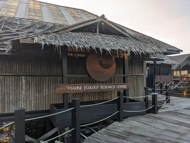
    The Research and Education Centre belongs to the Gayana Eco Resort on Pulau Gaya. Since 2007, it breeds giant clams, releasing them into a protected sea basin after about three years, including two locally extinct species. Visitors can see aquariums, clam breeding, and coral propagation. Guests can plant a coral fragment that will later be placed on the reef.
    Open in Google Maps
    Police Beach

    2Police Beach

    Sandy beach at Bulijong Bay in the north of the island, fringed by forest. Coral reefs lie offshore, where you can snorkel. You can arrange a boat there at Jesselton Point in Kota Kinabalu.
    Open in Google Maps
    Island forest trails

    3Island forest trails

    Around 20 km of marked trails traverse the island's forested ridge, up to 300m high, including a boardwalk through a mangrove swamp. The island has been a forest reserve since 1923. Guided hikes are possible. Bring water and start early before it gets hot.
    Open in Google Maps

    4Reefs around the Island

    Pulau Gaya is surrounded by coral reefs, protected as part of Tunku Abdul Rahman Park. For snorkelling, Police Beach on the north side is ideal. Book dives via resorts or dive centres in Kota Kinabalu. A park fee is charged daily.
    Open in Google Maps

    Restaurants & Cafés

    Fisherman's Cove (Gaya Island Resort)

    At the exclusive Fisherman's Cove at Gaya Island Resort, an upscale culinary experience awaits you, focusing on freshly caught seafood. Enjoy exquisite fish dishes inspired by local and international influences, while taking in the romantic views of the bay and the South China Sea. The atmosphere is elegant and perfect for a special dinner for two.
    Show on Google Maps

    Feast Village (Gaya Island Resort)

    The Feast Village, also located at Gaya Island Resort, offers a more relaxed, yet high-quality dining experience. Here you can indulge in a variety of international and local specialties, freshly prepared at live cooking stations. Its open design and lavish buffet invite you to an extended breakfast or a casual dinner.
    Show on Google Maps

    The Koi (Bunga Raya Island Resort)

    At The Koi in the luxurious Bunga Raya Island Resorts, an exquisite selection of pan-Asian dishes awaits, uniting traditional flavors and modern creations. With a beautiful view of the sea and the lush surroundings, this restaurant offers a romantic setting for an unforgettable culinary experience. Try the fusion specialties, prepared with fresh, local ingredients.
    Show on Google Maps

    History and Inhabitants

    Pulau Gaya housed the port and administrative post of the British North Borneo Chartered Company. On July 9, 1897, rebels under Mat Salleh burned the settlement down; it was never rebuilt. Two years later, Jesselton (now Kota Kinabalu) was founded on the mainland opposite. Since 1923, the island has been a forest reserve, and since 1974, it has belonged to the Tunku Abdul Rahman Park.The stilt villages on the east coast, such as Kampung Lok Urai, were mostly established from the 1970s onwards by immigrants from the southern Philippines. They are not officially recognized and lie outside the park boundaries.

    Arrival and Parking Fee

    Boats to the islands of Tunku-Abdul-Rahman Park depart from Jesselton Point in the center of Kota Kinabalu. Resorts on Pulau Gaya have their own counters at the terminal and transfer guests across; the crossing to Gaya Island Resort takes about ten minutes. On the island, you get around on foot on the marked trails.Sabah Parks charges an entrance fee per person and day for the park, currently 25 RM for foreign adults. Current rates are available on the Sabah Parks website.

    Accommodations in Pulau Gaya

    Find perfect stay in Pulau Gaya

    Booking.com* (Affiliate link)
    Search Hotels
    Agoda* (Affiliate link)
    Search Hotels
    Airbnb
    Vacation Rentals

    * Affiliate link: if you book through it, we earn a small commission. The price stays the same for you.

    Nearby

    Kota Kinabalu

    Kota Kinabalu

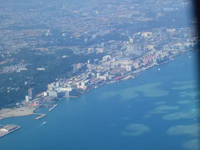
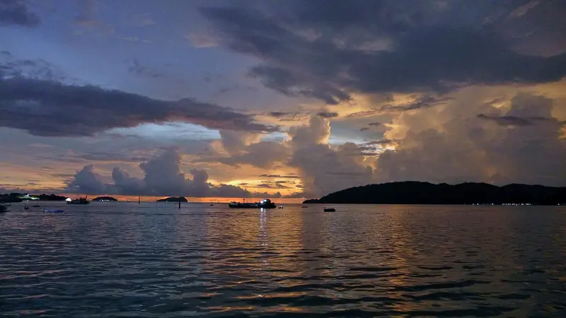
    Kota Kinabalu, or KK for short, is the capital of Sabah and for most, the starting point on Borneo. The city itself is more practical than beautiful, but conveniently located: Off the coast lie the islands of Tunku Abdul Rahman Park, and inland is Mount Kinabalu. Evenings, the waterfront night market with grilled fish is a must; on Sunday mornings, explore the Gaya Street market. For sunset, head to Tanjung Aru or climb Signal Hill.
    Sabah

    Sabah

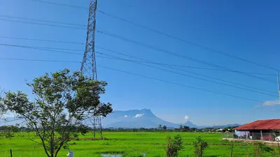
    Sabah in northern Borneo is Malaysia's nature destination. In the west you can climb Mount Kinabalu, snorkel off Kota Kinabalu and hike the island forest of Pulau Gaya. The well-known wildlife areas of Sepilok, the Kinabatangan and Danum Valley, as well as the dive sites off Semporna, lie on the east coast, which is covered specifically by official travel advice. Kota Kinabalu is the starting point, with onward travel by bus or domestic flight.
    Kinabalu National Park

    Kinabalu National Park

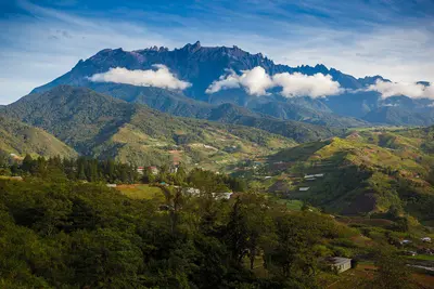
    Kinabalu National Park in Sabah in northern Borneo protects the 4,095-meter-high Mount Kinabalu, the highest mountain in Malaysia. You come for the two-day summit climb to the sunrise or for the montane forests, which have been protected by UNESCO since 2000 as Malaysia's first World Heritage Site.On the way up, the vegetation changes from rainforest through cloud forest with pitcher plants and orchids to the bare granite dome. Even without the summit, the forest trails at the headquarters, the hot springs of Poring and the cool mountain village of Kundasang are worth it.
    Sepilok Orangutan Rehabilitation Centre

    Sepilok Orangutan Rehabilitation Centre

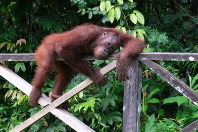
    At the Sepilok Orangutan Rehabilitation Centre near Sandakan on the east coast of Sabah in northern Borneo, orphaned orangutans have been prepared for a life in the rainforest since 1964. During feeding times you can watch the great apes from just a few metres away, in a protected forest rather than a zoo.Sepilok lies near Sandakan on Sabah's east coast. Before any planning, check the UK FCDO travel advice, which covers eastern Sabah specifically.Right next door is the Bornean Sun Bear Conservation Centre for rescued sun bears, and a few minutes away the Rainforest Discovery Centre with its canopy walkway.
    Danum Valley Conservation Area

    Danum Valley Conservation Area

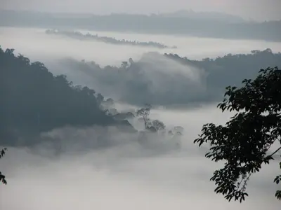
    Danum Valley in eastern Sabah protects around 438 square kilometres of largely undisturbed lowland rainforest with towering dipterocarps. On guided walks and night excursions you may see orangutans, gibbons, hornbills and, with luck, Bornean pygmy elephants.Danum Valley is reached via Lahad Datu on Sabah's east coast. Before any planning, check the UK FCDO travel advice, which covers eastern Sabah specifically.In 2019 Menara was discovered here, a yellow meranti of almost 98 metres that is considered the tallest known tropical tree in the world.

    Sources & method

    • Photos: Wikimedia Commons, Google Maps. Each photo carries its credit.
    • Place data such as addresses and ratings comes from Google Maps.
    • The content is based on web research from public, traceable sources. How the content is made · The role of AI