Fernweh: Home
ExploreGuideDestinationsMy tripsMy trip
de|en
All Places & RegionsRound tripsNight trains in EuropeAll highlightsAbout FernwehFAQPrivacy PolicyImprint
Download on the App StoreGet it on Google Play
ExploreGuideDestinationsMy tripsMy trip
    • Places in the region
    • Culture
    • Getting around
    • Round trips
    • Nearby
    Fogo

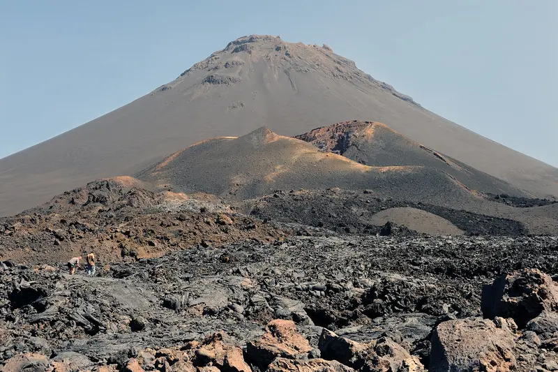
    “Cape Verde Pico do Fogo wide” by Cayambe / Wikimedia Commons / CC BY-SA 3.0, mod.

    Cape Verde

    Fogo

    Region

    Fogo is the volcanic island of Cape Verde. Pico do Fogo, at around 2,829 meters, is the highest mountain in the country and remains active; it last erupted from late 2014 to early 2015.

    by Felix Gillen

    1. Home
    2. Destinations
    3. Cape Verde
    4. Fogo
    Fogo is the volcanic island of Cape Verde. Pico do Fogo, at around 2,829 meters, is the highest mountain in the country and remains active; it last erupted from late 2014 to early 2015.Within the caldera, at about 1,700 meters, lies the village of Chã das Caldeiras. The 2014 lava buried most of the houses, yet many residents returned and are cultivating wine again on the fertile volcanic soil.The main town, São Filipe, is situated on cliffs above the sea and is known for its colonial mansions, the Sobrados. Its historic center is on the UNESCO Tentative List.
    Cape Verde travel guideSee the round tripPlan a trip with Fogo

    Contents

    • Places in the region
    • Culture
    • Getting around
    • Round trips
    • Nearby

    Sights in Fogo

    Discover the most important sights and attractions

    Pico do Fogo

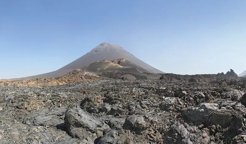
    “Pico de Fogo & summit of 1995 erruption” by Simo Räsänen / Wikimedia Commons / CC BY-SA 3.0, mod.

    Natural Feature

    Pico do Fogo

    At around 2,829 meters, the highest mountain in Cape Verde and an active volcano, last erupted from November 2014 to February 2015. The ascent from the caldera takes three to four hours over loose ash; descending is quicker; as the path is not marked, a local guide is highly recommended.
    Open in Google Maps
    Attraction

    Chã das Caldeiras

    The village lies at around 1,700 meters in the caldera at the foot of Pico do Fogo. In 2014, lava buried about three quarters of the buildings in Portela, Bangaeira, and Ilhéu de Losna; since then, it has been partially rebuilt. A farmers' association here produces the Chã wines.
    Open in Google Maps
    Historic Landmark

    São Filipe and Igreja Nossa Senhora da Conceição

    The main town on the cliffs above the sea has about 50 colonial mansions (sobrados); its centre has been on the UNESCO Tentative List since 2016. From the square by the blue parish church Nossa Senhora da Conceição with its two towers, you look over to Brava Island.
    Open in Google Maps

    Culture and Daily Life on Fogo

    Wine from the CalderaIn Chã das Caldeiras, a farmers' association produces white, red, and rosé wines under the name "Chã"; many households also make Manecom, a traditional homemade wine.Sobrados of São FilipeAround the parish church stand approximately 50 representative mansions; a large part of the houses in the center dates from the 19th century. The Casa da Memória, housed in a merchant's house from the 1820s, showcases the island's everyday history.Living with the VolcanoDuring the 2014 eruption, the entire village was evacuated. Many families returned because the mineral-rich soil supports agriculture and viticulture.

    Getting There and Around on Fogo

    Getting ThereSince March 2026, domestic flights, including from Praia to São Filipe, have been operated by CVsky; the flight lasts a good half hour. The ferry from Praia departs several times a week and takes four to five hours. This connection has frequently been suspended in recent years, so check the schedule at short notice.To Chã das CaldeirasShared taxis (Aluguer) take about 90 minutes from São Filipe to the caldera.Climbing Pico do FogoThe path is not marked; a local guide is strongly recommended. Expect three to four hours for the ascent and five to six hours round trip over slippery ash; sturdy shoes are necessary. Plan an overnight stay in Chã to start early.

    Round trips through this region

    Island hopping: Sal, Santiago, Fogo, São Vicente and Santo Antão

    Island hopping: Sal, Santiago, Fogo, São Vicente and Santo Antão

    The tour combines beach days on Sal with the capital island Santiago, the volcano on Fogo, the cultural city Mindelo and the hiking valleys of Santo Antão. Between the islands, travel is by domestic flights with Cabo Verde Airlines (approx. 30 to 50 minutes), the ferry from Praia to Fogo (three to four hours) and the ferry from Mindelo to Porto Novo (approx. one hour).

    15 Days
    6 stops

    Ingo Wölbern·public domain

    Nearby

    Tarrafal

    Tarrafal

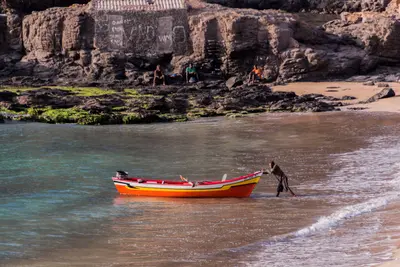
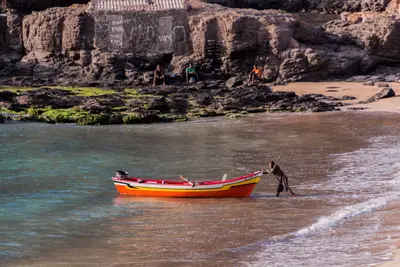
    Tarrafal is a fishing village in the northwest of Santiago at the foot of the 643-meter-high Monte Graciosa. The bay with golden sand is one of the island's most famous swimming spots and popular with snorkelers and divers.Approximately 1.5 kilometers south, in Chão Bom, lies the former Tarrafal camp, which the Salazar regime had built in 1936; today it is the Museu da Resistência and is on the UNESCO Tentative List. On the way from Praia are the Serra Malagueta Natural Park and Assomada with the island's largest market.

    Thomas Schwaak·Pexels

    Santiago

    Santiago

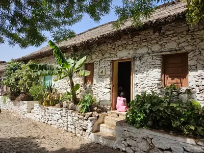
    Santiago is the largest island of Cape Verde, with its capital, Praia, in the south. About 10 km west of it, in 1462, the Portuguese founded Ribeira Grande, today's Cidade Velha, the archipelago's first settlement, a UNESCO World Heritage site since 2009. The island is the country's political centre and a good starting point for cultural excursions beyond the beach resorts.

    Thomas Schwaak·Pexels

    Cidade Velha

    Cidade Velha

    The first European settlement of Cape Verde, founded in 1462 as Ribeira Grande, is located approximately 10 km west of Praia on the south coast of Santiago. Since 2009, its historic center has been a UNESCO World Heritage site: the Church of Nossa Senhora do Rosário from 1495, the pillory in the main square, the cathedral ruins, and above the town, Fort Real de São Filipe.

    GualdimG·CC BY-SA 4.0

    Praia

    Praia is the capital of Cape Verde; its municipality, with about 141,000 inhabitants in the 2021 census, is the country's largest. The historic center, the Plateau, sits on a table mountain, its streets grid-patterned in the 19th century.The Plateau features Alexandre Albuquerque Square, the Old Town Hall, and the late 19th-century Presidential Palace; its historic center has been on UNESCO's Tentative List since 2016. Below are the large Sucupira Market and several city beaches. The World Heritage site Cidade Velha lies west of the city, along the coast.
    Sal Rei

    Sal Rei

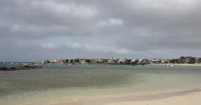
    The main town of Boa Vista is located on a bay in the northwest of the island, about 5 km northwest of the airport. Off the coast lies the uninhabited Ilhéu de Sal Rei, the largest of the small islands surrounding Boa Vista. From here, you can reach Praia de Chaves to the south and the dunes of Deserto de Viana to the east within a few kilometres.

    Christian Pirkl·CC BY-SA 4.0

    Your next steps

    Fogo is in Cape Verde. Ways to carry on from here.

    • More in Cape Verde

      Highlights, areas, routes and the best time to travel for all of Cape Verde.

      Cape Verde travel guide
    • Round trips with Fogo

      One route passes through Fogo, with stops, nights and a map.

      See the round trip
    • Plan a trip with Fogo

      The Guide asks about season, length and who is coming, and suggests a trip with Fogo.

      Plan the trip

    Sources & method

    • Photos: Wikimedia Commons. Each photo carries its credit.
    • Place data such as addresses and ratings comes from Google Maps.
    • The content is based on web research from public, traceable sources. How the content is made · The role of AI