Fernweh: Home
    ExploreTravel GuidesPlan a tripMy tripLast visited
    de|en
    All Places & RegionsAll highlightsAbout FernwehFAQPrivacy PolicyImprint
    ExploreTravel GuidesPlan a tripMy tripLast visited
    Aït-Ben-Haddou

    Morocco

    Aït-Ben-Haddou

    Point of Interest

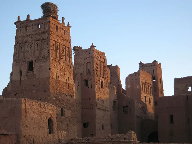
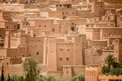
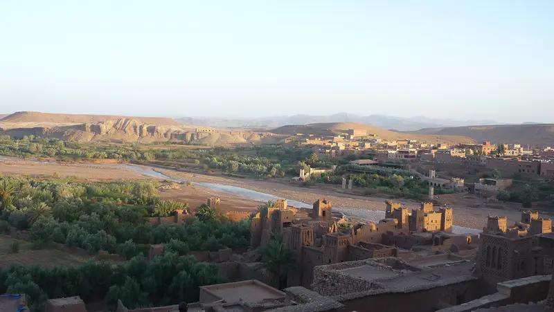
    The Ksar Aït-Ben-Haddou is a fortified mud-brick settlement in the Ounila Valley on the old caravan route between the Sahara and Marrakesh. Since 1987, it has been a UNESCO World Heritage site.

    by Felix Gillen

    1. Home
    2. Destinations
    3. Morocco
    4. South: Kasbahs & Desert
    5. Aït-Ben-Haddou
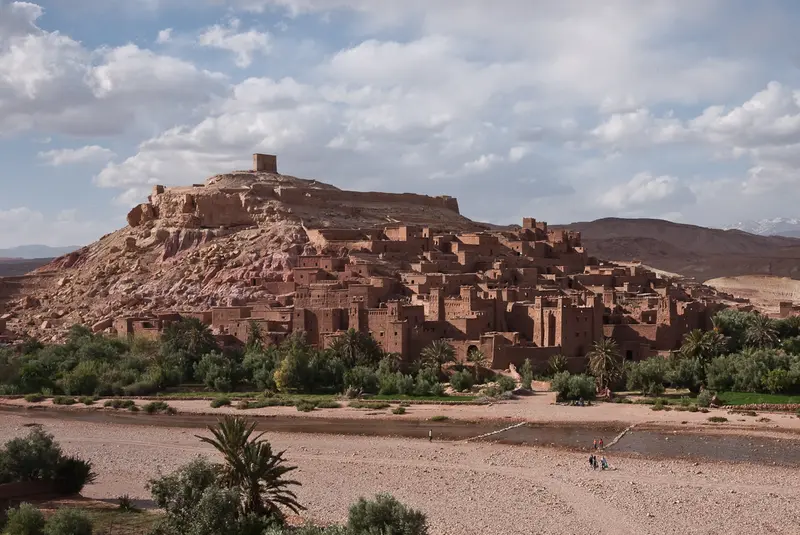
    The Ksar Aït-Ben-Haddou is a fortified mud-brick settlement in the Ounila Valley on the old caravan route between the Sahara and Marrakesh. Since 1987, it has been a UNESCO World Heritage site. The backdrop of mud-brick kasbahs on the hillside above the river served for films like Lawrence of Arabia and Gladiator.

    Sights in Aït-Ben-Haddou

    Discover the most important sights and attractions

    Ksar Aït-Ben-Haddou

    1Ksar Aït-Ben-Haddou

    The fortified mud settlement on the Ounila River lay on a trade route through the Sahara and has been a UNESCO World Heritage site since 1987. Since 2011, a pedestrian bridge connects the Ksar with the new village. Here, among other things, Lawrence of Arabia, Gladiator, and Game of Thrones were filmed.
    Open in Google Maps
    Granary Fort (Agadir) on the Hill

    2Granary Fort (Agadir) on the Hill

    On the hilltop above the Ksar stands the ruin of the fortified communal granary. The ascent through the alleys is especially worthwhile in the morning; from above, you look out over the mud roofs and the Ounila Valley.
    Open in Google Maps
    Kasbah Tamdaght

    3Kasbah Tamdaght

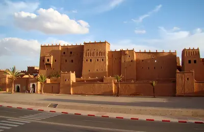
    Mud-brick kasbah in nearby Tamdaght, a few km north in the Ounila Valley. Generation Voyage states it served as a backdrop for Gladiator and Hidalgo, among others.
    Open in Google Maps

    Restaurants in Aït-Ben-Haddou

    1

    Auberge Azaddou Tamlalte

    Relaxed restaurant beyond the pedestrian bridge, overlooking the Ksar.
    Show on Google Maps
    2

    Restaurant Maktoub

    Restaurant with a rooftop terrace offering Ksar views, popular for lunch.
    Show on Google Maps

    Food and Drink

    Berber Omelette

    Eggs with tomatoes, onions and spices, cooked in the Tajine.

    Tajine

    The dishes are simple, satisfying, and slow-cooked, such as Chicken Tagine with preserved lemon or Kefta Tagine.

    Amlou

    Almond, argan oil, and honey dip, often for breakfast.

    Culture & History

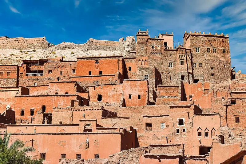
    Life in the KsarThe mud-brick houses of the Ksar climb the hill, topped by a ruined granary. Today, only a few families still live in the old Ksar. The 2023 earthquake caused cracks and partial collapses.Film SetOver twenty films were shot here, including Lawrence of Arabia (1962), The Man Who Would Be King (1975), Gladiator (2000), Kingdom of Heaven (2005), and Prince of Persia (2010). The series Game of Thrones also used the location.

    Out and about locally

    Getting ThereAït-Ben-Haddou is located about 30 kilometers northwest of Ouarzazate. You can easily reach the site by rental car or Grand Taxi.Many desert tours from Marrakech make a stop here on the first day.You enter the Ksar on foot via a pedestrian bridge.

    Accommodations in Aït-Ben-Haddou

    Find perfect stay in Aït-Ben-Haddou

    Booking.com* (Affiliate link)
    Search Hotels
    Agoda* (Affiliate link)
    Search Hotels
    Airbnb
    Vacation Rentals

    * Affiliate link: if you book through it, we earn a small commission. The price stays the same for you.

    Nearby

    South: Kasbahs & Desert

    South: Kasbahs & Desert

    South of the High Atlas begins the land of mud-brick kasbahs and oases: the Ksar Aït-Ben-Haddou, the film city Ouarzazate, the gorges of Dadès and Todra and at the end the sand dunes of Erg Chebbi near Merzouga.
    Ouarzazate

    Ouarzazate

    Ouarzazate lies south of the High Atlas at around 1,150 meters and is often called the Gateway to the Desert. The city grew during French rule as a garrison and administrative post and is now home to Atlas Studios, where many international films were filmed. Ksar Aït-Ben-Haddou lies about 30 kilometers northwest.
    Ourika Valley

    Ourika Valley

    The Ourika Valley stretches south of Marrakech into the High Atlas, alongside its namesake river. At the end of the road lies the village of Setti Fatma, above which seven waterfalls cascade over the rocks.
    Imlil & Toubkal

    Imlil & Toubkal

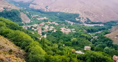
    Imlil is located at around 1,800 metres in the High Atlas, approximately 65 kilometres south of Marrakech, and serves as the starting point for climbing Toubkal. At 4,167 metres, it is the highest mountain in North Africa and the centrepiece of the Toubkal National Park, founded in 1942. Around the village, hiking trails lead to Berber villages and to the Sidi Chamharouch shrine, which non-Muslims are not permitted to enter.
    Marrakech

    Marrakech

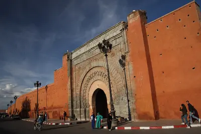
    Marrakech, nestled at the foot of the High Atlas, will be Morocco’s top destination in 2025, expecting over ten million passengers. Founded by the Almoravids around 1070, its approximately nine-kilometre-long red clay walls still enclose the Medina, a UNESCO World Heritage site since 1985. Its heart is Jemaa el-Fna Square, surrounded by souks, palaces, and gardens.

    Sources & method

    • Photos: Wikimedia Commons, Pexels, Google Maps. Each photo carries its credit.
    • Place data such as addresses and ratings comes from Google Maps.
    • The content is based on web research from public, traceable sources. How the content is made · The role of AI