ExploreTravel GuidesPlan a trip
    de|en
    All Places & RegionsAbout FernwehFAQPrivacy PolicyImprint
    ExploreTravel GuidesPlan a trip
    • Neighborhoods & highlights
    • Recommendations
    • Eat & drink
    • Culture
    • Getting around
    • Accommodation
    • Plan trip
    • Nearby
    Puerto Morelos
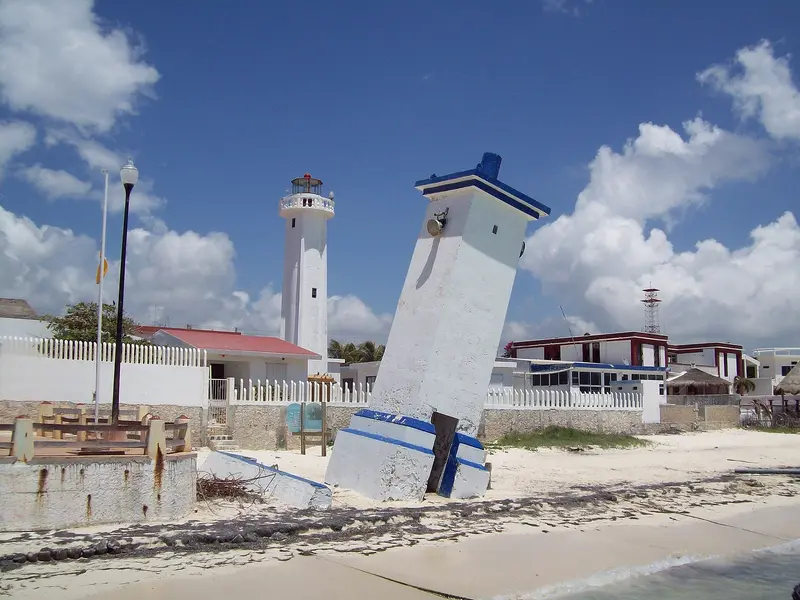
    Luis Fernández García / Wikimedia Commons / CC BY-SA 2.5 es

    Mexico

    Puerto Morelos

    CityNature

    Puerto Morelos is a quiet fishing village on the Caribbean coast, located about 38 kilometers south of Cancún and between Cancún and Playa del Carmen.

    1. Home
    2. Destinations
    3. Mexico
    4. Yucatán Peninsula
    5. Puerto Morelos
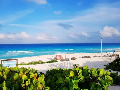
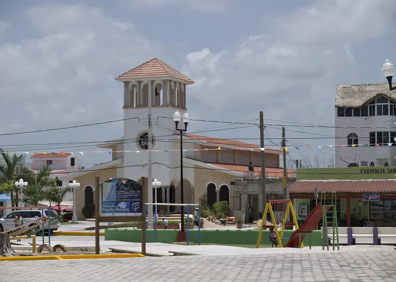
    Puerto Morelos is a quiet fishing village on the Caribbean coast, located about 38 kilometers south of Cancún and between Cancún and Playa del Carmen. Instead of high-rise hotels, a small square, a pier, and the leaning old lighthouse define the town's character. Directly off the beach lies the reef of the Arrecife de Puerto Morelos National Park; inland, the Ruta de los Cenotes begins.
    Puerto Morelos is small and easy to explore on foot. Life revolves around the main square by the sea, the pier, and the leaning lighthouse; beach restaurants and dive centers line the waterfront street. The town is significantly quieter than Cancún and Playa del Carmen and is well-suited as a base for families. Directly off the beach lies the National Park's reef; inland, the Ruta de los Cenotes leads into the forest. Cancún Airport is about 25 kilometers away.

    Sights in Puerto Morelos

    Discover the most important sights and attractions
    Leaning Light
    Attraction

    1Leaning Light

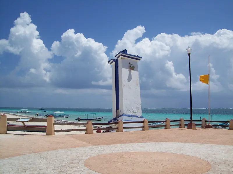
    The leaning old lighthouse on the beach is the town's landmark. Hurricane Beulah pushed it into a lean in 1967; attempts to straighten it failed. Since 1968, the new lighthouse stands next to it, guiding boats past the reef.
    Open in Google Maps
    Parque Nacional Arrecife de Puerto Morelos
    National Park

    2Parque Nacional Arrecife de Puerto Morelos

    Marine Protected Area of around 9,000 hectares directly in front of the town, part of the Mesoamerican Reef System and a Ramsar site since 2004. For snorkeling, boats depart from the pier out to the reef. Fishing is prohibited in parts of the park.
    Open in Google Maps
    Botanical Garden Dr. Alfredo Barrera Marín
    Park

    3Botanical Garden Dr. Alfredo Barrera Marín

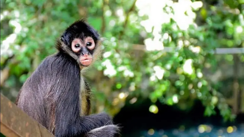
    65-hectare Botanical Garden and Forest Reserve off the highway south of the town, also known as Yaax' Ché. Paths wind through rainforest and mangroves to a small Maya ruin and a suspension bridge; if you're lucky, you might spot spider monkeys and coatis.
    Open in Google Maps
    Cenote Siete Bocas
    Attraction

    4Cenote Siete Bocas

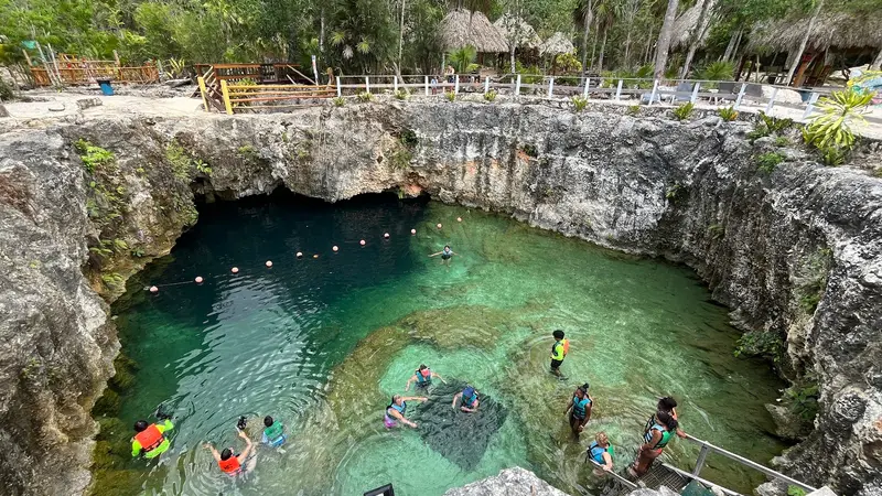
    Cave cenote on the Ruta de los Cenotes, the roughly 35-kilometer road running inland from Puerto Morelos to Leona Vicario. Seven openings in the rock let light into the underground water, where you can swim and snorkel.
    Open in Google Maps
    Cenote Verde Lucero
    Park

    5Cenote Verde Lucero

    Open cenote in the forest on the Ruta de los Cenotes, good for swimming. The road from Puerto Morelos to Leona Vicario passes seven cenotes, some with jumping platforms and zip lines.
    Open in Google Maps

    Restaurants in Puerto Morelos

    1

    La Petita En La Playita

    Casual beachside restaurant on Avenida Rafael E. Melgar, north of the main square. The menu features fish, seafood, and Mexican classics, all with ocean views.
    Show on Google Maps

    Reef fishing town

    From Fishing Port to Resort TownPuerto Morelos was long a simple fishing village that has changed less dramatically than its larger neighbors. Fish and seafood dominate the cuisine of the beachfront restaurants.The Leaning LighthouseHurricane Beulah struck the town in 1967, tilting the lighthouse. It was not demolished and has stood as a landmark on the beach ever since; a new lighthouse was built next to it in 1968.Nature on Your DoorstepThe reef off the coast is part of the Mesoamerican Reef System, protected as a national park and Ramsar site. Inland, you'll find the Dr. Alfredo Barrera Marín Botanical Garden and the cenotes along the road to Leona Vicario.

    Getting There & About

    Getting ThereCancún Airport is about 25 kilometers away, a 20 to 30-minute drive. ADO buses stop on Highway 307, not in town; take a taxi for the last stretch to the beach.Getting AroundExplore the seaside town on foot or by bike.For the Ruta de los Cenotes, about 35 kilometers inland towards Leona Vicario, a rental car is most practical.Snorkel boats to the reef depart from the pier.

    Accommodations in Puerto Morelos

    Find perfect stay in Puerto Morelos

    Booking.com* (Affiliate link)
    Search Hotels
    Agoda* (Affiliate link)
    Search Hotels
    Airbnb
    Vacation Rentals

    * Affiliate link: if you book through it, we earn a small commission. The price stays the same for you.

    Plan your trip to Puerto Morelos

    Save places, build a route and plan your city trip, all in one place.

    1. 1
      1234

      Round trip

      12 days · 4 stops

      Saved

      Pick a route

      Pick a ready-made one or save places and plan your own.

      Open bookmarks
    2. 2

      Trip to Puerto Morelos

      Live
      • 1Leaning Light3 days
      • 2Parque Nacional Arrecife de Puerto Morelos4 days
      • 3Botanical Garden Dr. Alfredo Barrera Marín5 days
      Budget

      Plan your trip

      The planner sorts stops, days and budget. Plan together in real time.

      Start trip planning
    3. 3
      9:41 No signal
      Available offline

      Use it on the road

      Download the guide to your phone and use it on site, even offline.

    Nearby

    Playa del Carmen

    Playa del Carmen

    Playa del Carmen, located about 70 kilometers south of Cancún, is the largest city on the Riviera Maya. In just a few decades, this fishing village grew into a city of over 300,000 residents. Life unfolds along Quinta Avenida, a pedestrian street parallel to the beach. From here, ferries depart for Cozumel.
    Cancún

    Cancún

    Planned as a 1970s resort, Cancún is now Quintana Roo's largest city, home to nearly 900,000. Its two worlds: the Zona Hotelera, on a narrow isthmus between the Caribbean and the lagoon, and El Centro (downtown), where residents live and work. The airport is the most important gateway to the peninsula.
    Isla Mujeres

    Isla Mujeres

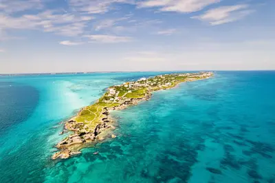
    Isla Mujeres is located approximately 13 kilometers northeast of Cancún and can be reached by ferry in about 20 minutes. The island is about seven kilometers long and less than a kilometer wide at its widest point. In the north lies the small town with colorful houses and Playa Norte, while the south features a rocky coast and the lighthouse of Punta Sur.
    Cozumel

    Cozumel

    Cozumel is an approximately 48-kilometer-long Caribbean island off the Riviera Maya, a good half-hour by ferry from Playa del Carmen. You primarily come for diving and snorkeling in the reefs of the Arrecifes de Cozumel National Park, which belong to the Mesoamerican Reef System. The main town is San Miguel de Cozumel on the west coast, where the ferries dock; Cozumel is also Mexico's most important cruise port. Beyond that, you'll find the Mayan site San Gervasio and, at the southern tip, the Punta Sur Natural Park.

    Akumal

    Akumal is located on the Riviera Maya between Playa del Carmen and Tulum, about a half-hour drive from both places. Its name means "Place of the Turtles" in Maya. In the protected bay, Green Sea Turtles feed in seagrass meadows, making it one of the coast's most famous snorkeling destinations.