Fernweh: Home
    ExploreTravel GuidesPlan a tripMy tripLast visited
    de|en
    All Places & RegionsAll highlightsAbout FernwehFAQPrivacy PolicyImprint
    ExploreTravel GuidesPlan a tripMy tripLast visited
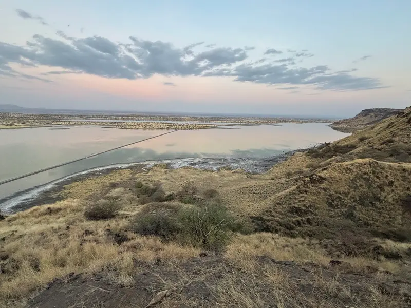
    Lake Magadi
    Antony Trivet / Wikimedia Commons / CC BY-SA 4.0

    Kenya

    Lake Magadi

    Point of Interest

    Lake Magadi is the southernmost lake in the Kenyan Rift Valley, about 100 km southwest of Nairobi near the Tanzanian border.

    by Felix Gillen

    1. Home
    2. Destinations
    3. Kenya
    4. Great Rift Valley
    5. Lake Magadi
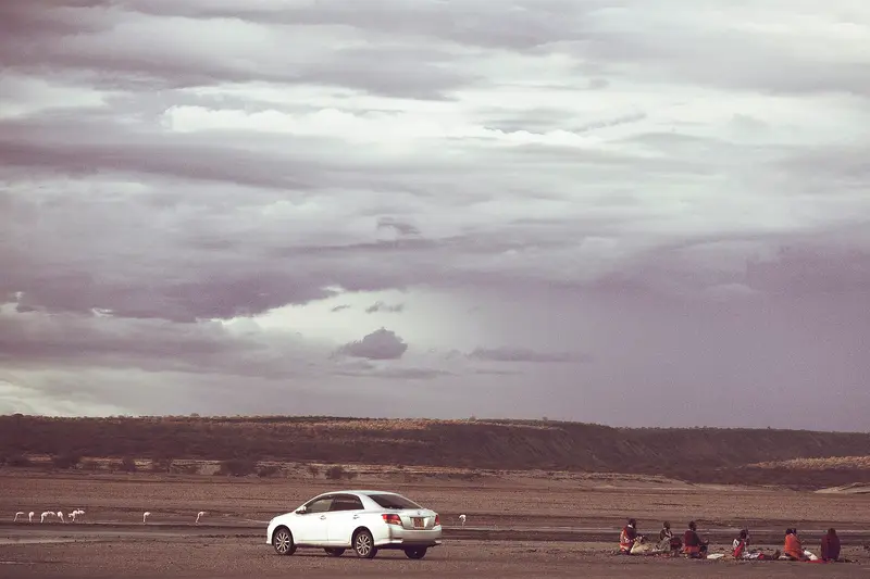
    Lake Magadi is the southernmost lake in the Kenyan Rift Valley, about 100 km southwest of Nairobi near the Tanzanian border. During the dry season, a soda crust covers about 80 percent of its surface, hot springs feed the lake, and flamingos and other wading birds live on its shores.En route, a stop at the prehistoric site of Olorgesailie is worthwhile, featuring Acheulean hand axes.

    Sights in Lake Magadi

    Discover the most important sights and attractions

    The Hot Springs of Magadi
    Attraction

    1The Hot Springs of Magadi

    Salty hot springs in the south of the lake, about a 30-minute drive from Magadi. No on-site catering or toilets; a guide is recommended during the rainy season.
    Open in Google Maps

    Restaurants in Lake Magadi

    1

    Lake Magadi Sports Club

    Club in Magadi town and one of the few places in the area for a warm meal. For a small fee, you can also swim here.
    Show on Google Maps

    Soda, Springs and Prehistory

    A Lake of SodaLake Magadi is a saline, highly alkaline lake in an endorheic basin. Trona precipitates from the sodium carbonate brine, and the salt layer is up to 40 m thick in places. The Magadi Soda Company, owned by Tata since 2005, extracts soda here. The name Magadi means “Soda” in Maa.Hot SpringsThe saline springs feeding the lake reach up to 86 °C and are primarily located on the northwest and south shores. In the cooler spring pools below 45 °C lives the lake's only fish species, the cichlid Alcolapia grahami.OlorgesailieAbout 67 km southwest of Nairobi on the road to Magadi, geologist John Walter Gregory discovered the first tools in 1919. Mary and Louis Leakey excavated here from 1943 onwards. The hand axes were made approximately 600,000 to 900,000 years ago on the shore of a former lake; some of the findings can be viewed on site under protective shelters and from a wooden walkway.

    Arrival and Practical Info

    The Route from NairobiFrom Nairobi, the C58 leads south via Kiserian to the town of Magadi; traffic becomes very sparse after Kiserian. Olorgesailie is located about 1.4 km off this road. Depending on your vehicle and stops, you should allow several hours for the approximately 100 km; a vehicle with high ground clearance or four-wheel drive is recommended.To the Hot SpringsThe springs are about a 30-minute drive beyond Magadi town. There are no refreshments or toilets there, so take everything you need with you.Especially during the rainy season, a local guide is recommended.One of the few options for a warm meal is the Lake Magadi Sports Club in town.AccommodationCamping by the lakeshore and a tented camp run by the Sports Club are possible. Upscale lodges are located further south at the foot of the Nguruman Escarpment and in Shompole, about an hour from the lake.

    Accommodations in Lake Magadi

    Find perfect stay in Lake Magadi

    Booking.com* (Affiliate link)
    Search Hotels
    Agoda* (Affiliate link)
    Search Hotels
    Airbnb
    Vacation Rentals

    * Affiliate link: if you book through it, we earn a small commission. The price stays the same for you.
    Nearby

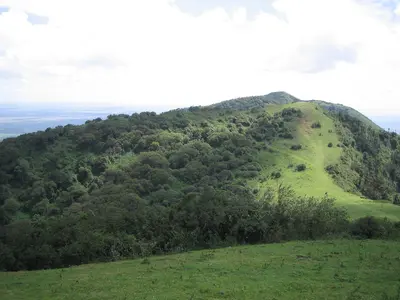
    Ngong Hills

    Ngong Hills

    The Ngong Hills are a green ridge on the edge of the Great Rift Valley, about a 40-minute drive southwest of Nairobi. From the ridge, you look east over Nairobi National Park and the city, and west down into the Rift Valley.A hiking trail leads over the peaks up to around 2,460 meters. Many know the silhouette of the hills from the film "Out of Africa"; today, wind turbines of Kenya's first wind farm turn on the ridge.
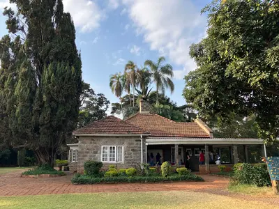
    Karen

    Karen

    Karen is a green, sprawling suburb in the southwest of Nairobi, at the foot of the Ngong Hills. Here, in close proximity, are three Nairobi-day classics: the Karen Blixen Farmhouse, the Giraffe Centre, and the Kazuri Bead Workshop.Large plots, many trees, and sparse development characterize the district, complemented by garden restaurants and shopping centers like The Hub.
    Nairobi National Park

    Nairobi National Park

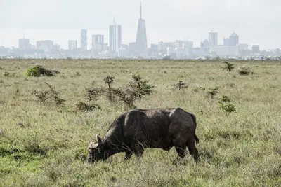
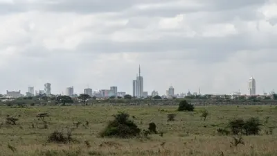
    The Nairobi National Park begins just about seven kilometers south of the city center: savanna with black rhinos, wildebeest, and zebras against the capital's skyline. Opened in 1946, it is Kenya's oldest national park.At just over 117 square kilometers, it is small, but is considered one of the country's most successful rhino sanctuaries. A half or full day is enough for a game drive, ideal before an evening flight or after arrival.
    Nairobi & Surroundings

    Nairobi & Surroundings

    Nairobi and its surroundings are the starting point for most Kenya trips: a metropolis in the highlands, on whose southern edge lies a national park home to black rhinos, wildebeest, and zebras. To the west, the green suburb of Karen and the Ngong Hills adjoin, sloping down to the Great Rift Valley.A day or two here is worthwhile before or after your safari: for the National Museum, the elephant orphans of the Sheldrick Wildlife Trust, the giraffes at the Giraffe Centre, and a hike along the ridge of the Ngong Hills.
    Nairobi

    Nairobi

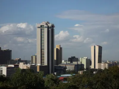
    Kenya's capital lies in the highlands and is the start and end point for almost every safari. Nairobi is a loud, rapidly growing metropolis with skyscrapers in the centre, green villa districts, and a national park directly on the southern city limits.Besides the National Museum on Museum Hill and the KICC's observation deck, Karura Forest and the cultural performances at Bomas of Kenya are worth visiting. In the evenings, life shifts to the bars and clubs of Westlands.

    Sources & method

    • Photos: Wikimedia Commons, Google Maps. Each photo carries its credit.
    • Place data such as addresses and ratings comes from Google Maps.
    • The content is based on web research from public, traceable sources. How the content is made · The role of AI