Fernweh: Home
ExploreGuideDestinationsMy tripsMy trip
de|en
All Places & RegionsRound tripsNight trains in EuropeAll highlightsAbout FernwehFAQPrivacy PolicyImprint
Download on the App StoreGet it on Google Play
ExploreGuideDestinationsMy tripsMy trip
    • Neighborhoods & highlights
    • Tours
    • Eat & drink
    • Culture
    • Getting around
    • Accommodation
    • Plan trip
    • Nearby
    Honningsvåg & North Cape

    Photo by Nicola Gambetti on Unsplash

    Norway

    Honningsvåg & North Cape

    City

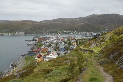
    Honningsvåg is the main town on Magerøya island in Finnmark and the gateway to the North Cape. The plateau on the 307-meter-high cliff is about 34 kilometers away via the E69.

    by Felix Gillen

    1. Home
    2. Destinations
    3. Norway
    4. Finnmark
    5. Honningsvåg & North Cape
    Honningsvåg is the main town on Magerøya island in Finnmark and the gateway to the North Cape. The plateau on the 307-meter-high cliff is about 34 kilometers away via the E69.The town, with some 2,800 inhabitants, is a port of call for the coastal steamers. At the North Cape, the Globe Monument has stood since 1978, next to the Nordkapphallen visitor center. Approximately 1,450 meters further north is the Knivskjellodden headland, which is not accessible by road.In winter, the final kilometers to the North Cape can only be traveled in a convoy behind a snowplow, should snowdrifts occur. Statens vegvesen annually determines the departure times.
    Norway travel guideRound trips in NorwayPlan a trip with Honningsvåg & North Cape

    Contents

    • Neighborhoods & highlights
    • Tours
    • Eat & drink
    • Culture
    • Getting around
    • Accommodation
    • Nearby

    Sights in Honningsvåg & North Cape

    Discover the most important sights and attractions

    North Cape and Globe Monument

    Photo by Klaus Schneider on Unsplash

    Natural Feature

    1North Cape and Globe Monument

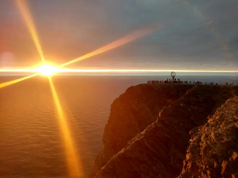
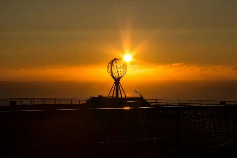
    The North Cape on the island of Magerøya is located at 71°10′21″ North, the cliff drops 307 meters steeply to the sea. On the plateau stands the Globe Monument from 1978. From Honningsvåg, it's around 34 kilometers via the E69.
    Open in Google Maps
    Natural Feature

    2Knivskjellodden

    The flat headland west of the North Cape extends approximately 1,450 meters further north than the Cape itself. No road leads there.
    Open in Google Maps
    Attraction

    3North Cape Hall

    The Nordkapp Hall is the visitor center on the plateau. The ticket is valid for 24 hours and allows multiple entries; current prices and opening hours can be found at Visit Nordkapp.
    Open in Google Maps

    Tours & experiences in Honningsvåg & North Cape

    Search tours for Honningsvåg & North Cape on GetYourGuide* (Affiliate link)On GetYourGuide, with reviews from other travellers

    * Affiliate link: if you book through it, we earn a small commission. The price stays the same for you.

    Restaurants in Honningsvåg & North Cape

    Nordkap

    The CapeThe North Cape is located at 71°10′21″ North on the island of Magerøya. The cliff rises 307 meters above the sea. The Globe Monument on the plateau dates back to 1978.KnivskjelloddenThe Knivskjellodden headland extends approximately 1,450 meters further north than the North Cape, but is not accessible by road.

    Getting There & Around

    To NordkappFrom Honningsvåg, the E69 leads about 34 kilometers to the plateau. At Nordkapphallen, the ticket is valid for 24 hours with multiple entries; current prices are available from Visit Nordkapp.Winter Convoy DrivingIn winter, when snowdrifts occur, you only drive between Skarsvågkrysset and the plateau in a convoy behind a snowplow, until spring. Statens vegvesen publishes new departure times each season; check them before your trip.

    Accommodations in Honningsvåg & North Cape

    Find perfect stay in Honningsvåg & North Cape

    Booking.com* (Affiliate link)
    Search Hotels
    Agoda* (Affiliate link)
    Search Hotels
    Airbnb
    Vacation Rentals

    * Affiliate link: if you book through it, we earn a small commission. The price stays the same for you.

    Campgrounds in Honningsvåg & North Cape

    Find perfect campground in Honningsvåg & North Cape

    Search via Google Maps
    Campgrounds nearby (15km)
    Camping.info
    Find Campgrounds
    Park4Night
    RV Parks & Camping

    Plan your trip to Honningsvåg & North Cape

    Save places, build a route and plan your city trip, all in one place.

    1. 1
      Sunrise over alpine peaks and a sea of clouds
      1234

      Round trip

      12 days · 4 stops

      Saved

      Pick a route

      Pick a ready-made one or save places and plan your own.

      Open bookmarks
    2. 2

      Trip to Honningsvåg & North Cape

      Live
      • 1North Cape and Globe Monument3 days
      • 2Knivskjellodden4 days
      • 3North Cape Hall5 days
      Budget

      Plan your trip

      The planner sorts stops, days and budget. Plan together in real time.

      Start trip planning
    3. 3
      9:41 No signal
      Honningsvåg & North Cape
      Available offline

      Photo by Nicola Gambetti on Unsplash

      Use it on the road

      Download the guide to your phone and use it on site, even offline.

    Nearby

    Hammerfest

    Hammerfest

    Hammerfest on the island of Kvaløya is a port town in Finnmark with about 7,000 inhabitants. You come here for the Meridian Column of the Struve Arc, a UNESCO World Heritage site, and for the history of Arctic hunting, war, and reconstruction.The city received its town charter in 1789 and was Norway's first city with electric street lighting in 1891. During the forced evacuation of Finnmark in 1944 and 1945, the German occupiers also destroyed Hammerfest, a story told by the Reconstruction Museum.At the harbor, the Polar Bear Club maintains a small museum on Arctic hunting; on the Fuglenes peninsula stands the Meridian Column from 1854. On the island of Melkøya, off the city, there is a liquefied natural gas plant.
    Lukas Lussi·Pexels

    Finnmark

    Finnmark

    Finnmark is Norway's northernmost county, situated between the North Cape on Magerøya island and the borders with Finland and Russia. You come here for the North Cape, the rock art of Alta, and the vastness of the Arctic, with Northern Lights in winter and the Midnight Sun in summer.Key places include Alta, home to its UNESCO World Heritage site; Hammerfest, featuring the Meridian Column of the Struve Geodetic Arc; Honningsvåg, a gateway to the North Cape; and Kirkenes, near the Russian border, the final stop for the Hurtigruten and Havila coastal voyages.

    Maris Uuetoa·Pexels

    Alta

    Alta

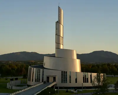
    Alta is a city located on the Altafjord in Finnmark, in the far north of Norway. People come here for the rock carvings, which are a UNESCO World Heritage site, for the Northern Lights Cathedral in the city center, and in winter, for the Northern Lights.Thousands of carvings and paintings from around 4200 to 500 BC are preserved at 45 sites around the fjord. They were discovered in 1973 and are exhibited at the Alta Museum in Hjemmeluft. In the city center stands the Northern Lights Cathedral, featuring a bronze figure of Christ.Just outside the city, the Sorrisniva Igloo Hotel is rebuilt every winter from the ice of the Alta River, opening only during the cold season. Since 1981, Alta has been the starting point for the Finnmarksløpet dog sled race.

    Barnabas Davoti·Unsplash

    Kirkenes

    Kirkenes

    Kirkenes is located in the far east of Finnmark, near the borders with Finland and Russia, and is the terminus for the Hurtigruten and Havila coastal ships. You come here for its border location, wartime history, and the Snowhotel.Kirkenes experienced over 320 air raids during World War II, commemorated by the Andersgrotta Bunker Museum. Today, Kirkenes is a port for king crabs. The Snowhotel outside the town is open year-round, with inside temperatures of approx. -4°C.Entry to Russia is only possible via the Storskog border crossing and only with a visa. Before travelling, check the current travel advice from the FCDO.

    ArtemMitinIvanovich·CC BY 4.0

    Saariselkä

    Saariselkä

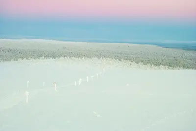
    The outdoor village in Nordlappland is nestled among open fells, forests, and the Urho-Kekkonen National Park, which starts right at its edge. In winter, Lapland North highlights around 200 kilometers of groomed cross-country trails, Finland's northernmost ski resort, and the country's longest toboggan run at Kaunispää, plus husky and reindeer safaris and the Northern Lights. In summer and during Ruska, you can hike to huts and peaks like Kiilopää. Ivalo Airport is nearby.

    fra.fb·Pexels

    Your next steps

    Honningsvåg & North Cape is in Norway. Ways to carry on from here.

    • More in Norway

      Highlights, areas, routes and the best time to travel for all of Norway.

      Norway travel guide
    • Round trips in Norway

      Ready-made routes through Norway, with stops, nights and a map.

      See the routes

    Sources & method

    • Photos: Unsplash. Each photo carries its credit.
    • The content is based on web research from public, traceable sources. How the content is made · The role of AI