Fernweh: Home
ExploreGuideDestinationsMy tripsMy trip
de|en
All Places & RegionsRound tripsNight trains in EuropeAll highlightsAbout FernwehFAQPrivacy PolicyImprint
Download on the App StoreGet it on Google Play
ExploreGuideDestinationsMy tripsMy trip
    • Overview
    • Places in the region
    • Eat & drink
    • Culture
    • Getting around
    • Round trips
    • Nearby
    Santo Antão

    CaptainDarwin / Wikimedia Commons / CC BY-SA 4.0, mod.

    Cape Verde

    Santo Antão

    Region

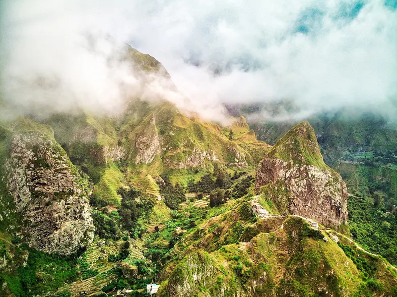
    Santo Antão is the hiking destination of Cape Verde: Across 785 km², green valleys, crater landscapes, and steep coasts rise up to 1,979 m at Tope de Coroa.

    by Felix Gillen

    1. Home
    2. Destinations
    3. Cape Verde
    4. Santo Antão
    Santo Antão is the hiking destination of Cape Verde: Across 785 km², green valleys, crater landscapes, and steep coasts rise up to 1,979 m at Tope de Coroa. Hiking trails lead from Cova crater into Paul Valley or along the north coast from Ponta do Sol to Cruzinha. There is no airport; the ferry from Mindelo docks in Porto Novo.
    Cape Verde travel guideSee the round tripPlan a trip with Santo Antão

    Contents

    • Overview
    • Places in the region
    • Eat & drink
    • Culture
    • Getting around
    • Round trips
    • Nearby
    The island is divided into the dry south around the ferry port of Porto Novo and the green northeast with Ribeira Grande, Ponta do Sol, and the Paul Valley. The most popular hikes lead from the Cova Crater into the Paul Valley and along the north coast from Ponta do Sol via Fontainhas to Cruzinha.

    Sights in Santo Antão

    Discover the most important sights and attractions

    Attraction

    Coast Path Ponta do Sol, Fontainhas and Cruzinha

    The coastal path on the north coast leads from Ponta do Sol via the village of Fontainhas to Cruzinha, about 14.5 km in around seven hours, challenging. Start preferably around 7 AM, as there is almost no shade on the last few kilometres, and arrange the return trip from Cruzinha to Ribeira Grande beforehand.
    Open in Google Maps
    Attraction

    Cova Crater and descent to Paul Valley

    The island's classic hiking trail starts at the rim of Cova crater and descends on a steep cobblestone path into the green Paul Valley, approximately 10 km in about six hours, moderate difficulty. You reach the starting point by shared taxi (aluguer) from Porto Novo or Ribeira Grande. In the Paul Valley, Grogue is still distilled in small distilleries.
    Open in Google Maps
    Natural Feature

    Ribeira da Torre

    The green valley flows into the sea near Ribeira Grande and is part of the Cova-Paul-Ribeira da Torre Natural Park. A hike leads from Água das Caldeiras in the highlands down towards Ribeira Grande; the lower valley section can also be reached by car.
    Open in Google Maps
    Attraction

    Ponta do Sol

    Cape Verde's northernmost place, once a fishing village, grew into a small town from the 1880s. Here begins the coastal path to Fontainhas (approx. 1hr) and on to Cruzinha.
    Open in Google Maps

    Restaurants in Santo Antão

    1

    O Curral

    Thatched-roof spot in Chã de João Vaz in the Paul Valley, with a farm shop and its own grogue distillery; located on the descent from Cova Crater, ideal for a break (Lonely Planet).
    Show on Google Maps
    2

    Caleta

    Bistro with tables on the promenade of Ponta do Sol, European and Cape Verdean cuisine (Lonely Planet).
    Show on Google Maps
    3

    Casa Maracujá

    Rooftop terrace in Vila das Pombas in Paul-Tal with passion fruit dishes; recommended by Reise Know-How 2025.
    Show on Google Maps

    Life in the Valleys

    Colonial Town CentersRibeira Grande, also known as Povoação, became the island's administrative seat in 1732; the parish church Nossa Senhora do Rosário dominates the town. In nearby Ponta do Sol, the northernmost settlement of Cape Verde, stands the Church of Nossa Senhora do Livramento, dating from 1894.Grogue and AgricultureIn the Paul Valley, farmers distill Grogue, the Cape Verdean sugarcane brandy. The valley is part of the Cova-Paul-Ribeira da Torre Natural Park, which is on UNESCO's Tentative List.FestivalsThe Feast of Saint John (São João) in June in Porto Novo features horse races, a procession, and the Kola Sonjon dance.

    Getting There and Around

    Getting ThereSanto Antão does not have an active airport; a new one near Porto Novo is under construction. Ferries from CV Interilhas and Naviera Armas (Nôs Ferry) depart several times daily from Mindelo to Porto Novo, taking 45 to 60 minutes. From Monday to Saturday, departures are usually at 7 and 8 AM, and 2 and 3 PM; different times apply on Sundays.You can reach Mindelo by domestic flight to Cesária Évora Airport.On the IslandShared taxis (aluguer) operate between towns. When boarding, state that you will pay the shared fare and wait until the vehicle is full; a private ride (frete) costs significantly more.For hikes, start early and arrange your return trip from the destination beforehand.

    Round trips through this region

    Island hopping: Sal, Santiago, Fogo, São Vicente and Santo Antão

    Island hopping: Sal, Santiago, Fogo, São Vicente and Santo Antão

    The tour combines beach days on Sal with the capital island Santiago, the volcano on Fogo, the cultural city Mindelo and the hiking valleys of Santo Antão. Between the islands, travel is by domestic flights with Cabo Verde Airlines (approx. 30 to 50 minutes), the ferry from Praia to Fogo (three to four hours) and the ferry from Mindelo to Porto Novo (approx. one hour).

    15 Days
    6 stops

    Ingo Wölbern·public domain

    Nearby

    Mindelo

    Mindelo

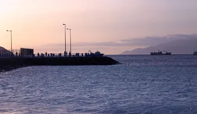
    The second largest city of Cape Verde is located on the natural bay Porto Grande on São Vicente and is considered the cultural capital of the country. At the harbor stands a replica of Lisbon's Torre de Belém, and in the old town, the 1878 market hall. Mindelo's Carnival is known for its colorful parades. The city is home to singer Cesária Évora and the departure point for the ferry to Santo Antão.

    Ana Marta Jorge·Pexels

    São Vicente

    São Vicente

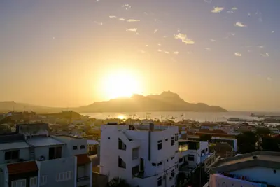
    The small, dry island in the northwest relies on its port city Mindelo, on the natural bay Porto Grande. Mindelo is considered the cultural capital of Cape Verde, home to singer Cesária Évora, and the setting for a vibrant carnival. From here, the ferry sails in about an hour to the hiking island of Santo Antão.

    Felix Brüning·Unsplash

    Sal

    Sal

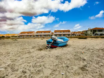
    The flat, dry island in the east of the archipelago is the most important holiday destination in Cape Verde. It is named after the salt that was extracted here for centuries, for example, in the volcanic crater of Pedra de Lume. Today, it's primarily the long sandy beach of Santa Maria in the south and the constant wind that attract beachgoers and watersports enthusiasts; at the airport near Espargos where most international flights to the country land.

    Ingo Wölbern·public domain

    Santa Maria

    Santa Maria

    The town at the southern tip of Sal originated in 1830 as a settlement for salt production; the salt was then transported by narrow-gauge railway to a pier and shipped. In 1967, the Morabeza, the first beach hotel in Cape Verde, opened here. Today, Santa Maria is the island's tourist hub, with a long sandy beach, hotels, restaurants, and water sports centers.

    Dielemans Photos·Unsplash

    Tarrafal

    Tarrafal

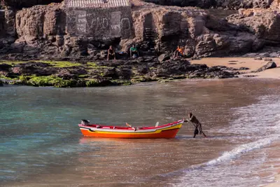
    Tarrafal is a fishing village in the northwest of Santiago at the foot of the 643-meter-high Monte Graciosa. The bay with golden sand is one of the island's most famous swimming spots and popular with snorkelers and divers.Approximately 1.5 kilometers south, in Chão Bom, lies the former Tarrafal camp, which the Salazar regime had built in 1936; today it is the Museu da Resistência and is on the UNESCO Tentative List. On the way from Praia are the Serra Malagueta Natural Park and Assomada with the island's largest market.

    Thomas Schwaak·Pexels

    Your next steps

    Santo Antão is in Cape Verde. Ways to carry on from here.

    • More in Cape Verde

      Highlights, areas, routes and the best time to travel for all of Cape Verde.

      Cape Verde travel guide
    • Round trips with Santo Antão

      One route passes through Santo Antão, with stops, nights and a map.

      See the round trip
    • Plan a trip with Santo Antão

      The Guide asks about season, length and who is coming, and suggests a trip with Santo Antão.

      Plan the trip

    Sources & method

    • Photos: Wikimedia Commons. Each photo carries its credit.
    • Place data such as addresses and ratings comes from Google Maps.
    • The content is based on web research from public, traceable sources. How the content is made · The role of AI