Fernweh: Home
    ExploreTravel GuidesPlan a tripMy tripLast visited
    de|en
    All Places & RegionsAll highlightsAbout FernwehFAQPrivacy PolicyImprint
    ExploreTravel GuidesPlan a tripMy tripLast visited
    • Neighborhoods & highlights
    • Recommendations
    • Eat & drink
    • Getting around
    • Accommodation
    • Plan trip
    • Nearby
    Paracas
    PsamatheM / Wikimedia Commons / CC BY-SA 4.0

    Peru

    Paracas

    City

    The coastal resort of Paracas on the Pacific coast is the starting point for two of the most famous natural experiences on the Peruvian coast.

    by Felix Gillen

    1. Home
    2. Destinations
    3. Peru
    4. Southcoast (Ica)
    5. Paracas
    The coastal resort of Paracas on the Pacific coast is the starting point for two of the most famous natural experiences on the Peruvian coast. From Muelle El Chaco, boats depart in the mornings for the Islas Ballestas, passing the El Candelabro geoglyph, which can be seen from the sea on a sand dune. Sea lions, Humboldt penguins, pelicans, and colonies of guano birds live on the rocky islands.South of the town begins the Reserva Nacional de Paracas, founded in 1975 and, at around 335,000 hectares, the largest protected area on Peru's coast, two-thirds of which is ocean. Viewpoints such as Playa Roja, with its reddish beach, and the rock formation La Catedral, whose arch collapsed in the 2007 earthquake, are accessible by car or tour.

    Sights in Paracas

    Discover the most important sights and attractions

    Islas Ballestas

    1Islas Ballestas

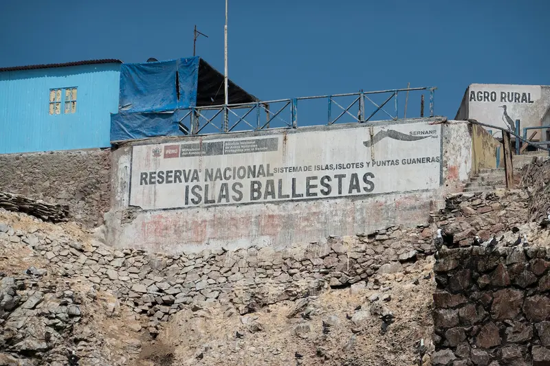
    The rugged rock islands off the coast are a paradise for animals: sea lions bask on the cliffs, Humboldt penguins waddle over the rocks, and thousands of cormorants, boobies, and pelicans circle above the water. You are not allowed to set foot on the islands; you circle them by boat. On the way there, you pass the Candelabro, a colossal geoglyph etched into the sandy slope of the peninsula.
    Open in Google Maps
    Interpretation Center of the National Reserve

    2Interpretation Center of the National Reserve

    The small visitor center at the entrance of the reserve vividly illustrates the animals living here and the fossils found in the desert. Entrance is included in the park ticket. From the nearby viewpoint, observe flamingos and other waterfowl in the bay. Right next door, the Museo Julio C. Tello exhibits finds of the Paracas culture.
    Open in Google Maps
    Playa Roja

    3Playa Roja

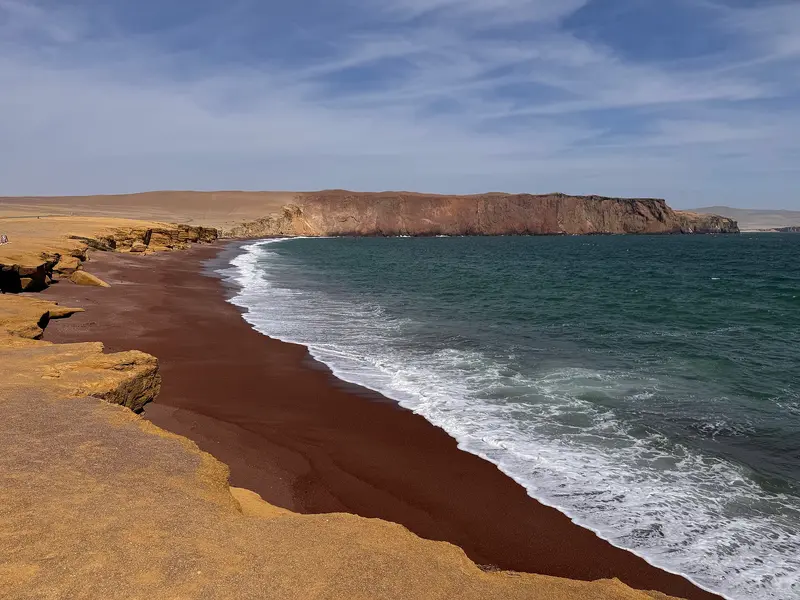
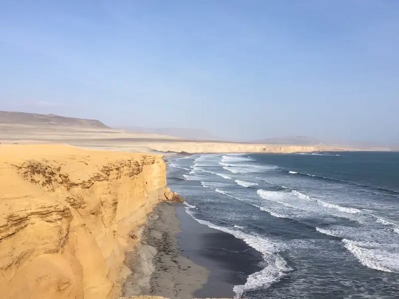
    In Reserva Nacional de Paracas, the desert meets the Pacific. Red gravel from surrounding cliffs colors Playa Roja, with ocher slopes above. The beach is closed, admire it from the viewpoint above. Reach it by bike from Paracas in just over an hour.
    Open in Google Maps

    Restaurants in Paracas

    Local Adventures

    Getting ThereParacas is located on the Panamericana, south of Lima. Several bus companies go directly to the town; the journey takes about four hours, depending on traffic.In TownEl Chaco, the small harbor town, can be explored on foot in just a few minutes. Here you'll find the waterfront promenade, restaurants, and the boat jetty.ExcursionsBoats for the Islas Ballestas depart in the morning, when the sea is calm. No scheduled bus serves the Reserva Nacional de Paracas; explore it by tour, taxi, or rental bike. Take plenty of water and sun protection, as shade is scarce in the desert.

    Accommodations in Paracas

    Find perfect stay in Paracas

    Booking.com* (Affiliate link)
    Search Hotels
    Agoda* (Affiliate link)
    Search Hotels
    Airbnb
    Vacation Rentals

    * Affiliate link: if you book through it, we earn a small commission. The price stays the same for you.

    Plan your trip to Paracas

    Save places, build a route and plan your city trip, all in one place.

    1. 1
      Sunrise over alpine peaks and a sea of clouds
      1234

      Round trip

      12 days · 4 stops

      Saved

      Pick a route

      Pick a ready-made one or save places and plan your own.

      Open bookmarks
    2. 2

      Trip to Paracas

      Live
      • 1Islas Ballestas3 days
      • 2Interpretation Center of the National Reserve4 days
      • 3Playa Roja5 days
      Budget

      Plan your trip

      The planner sorts stops, days and budget. Plan together in real time.

      Start trip planning
    3. 3
      9:41 No signal
      Paracas
      Available offline

      Use it on the road

      Download the guide to your phone and use it on site, even offline.

    Nearby

    Huacachina

    Huacachina

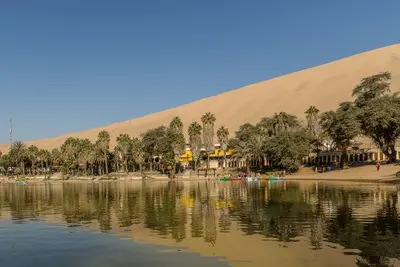
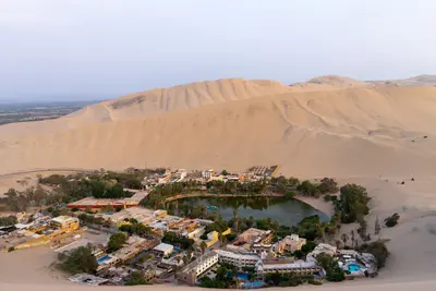
    Huacachina is a small oasis with a lagoon and palm trees, surrounded by towering sand dunes, just a few kilometers from the center of the city of Ica. Most visitors come for exhilarating dune buggy tours and sandboarding, often in the late afternoon to experience the sunset over the desert. The lagoon's water level has dropped, and water is now being supplied.From Lima, take a bus to Ica, then a ten-minute taxi ride to Huacachina.Around Ica, you'll find bodegas producing Pisco and wine, offering tours with tastings.Buggies have been involved in accidents, so choose a reputable provider.
    Southcoast (Ica)

    Southcoast (Ica)

    The Ica region lies south of Lima on the desert coast and is easily accessible via the Panamericana. From Paracas, boat tours depart for the Islas Ballestas, home to sea lions and Humboldt penguins, alongside which lies the Reserva Nacional de Paracas, the country's largest coastal protected area. Around the city of Ica, Pisco is distilled; on the city's outskirts lies the Huacachina oasis, nestled between high dunes. Further south, the Nazca Lines stretch across the desert, a UNESCO World Heritage site since 1994.

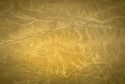
    The Nazca Lines are immense geoglyphs etched into the desert on Peru's southern coast, primarily created by the Nazca culture, which lived here roughly between 100 BC and 800 AD. Alongside straight lines and geometric forms, there are animal figures like the hummingbird, monkey, spider, and condor. In 1994, UNESCO designated the Lines and Geoglyphs of Nazca and Palpa as a World Heritage site.The figures are barely discernible from the ground. From the observation tower on the Pan-American Highway, you can see two figures: the Hands and the Tree. Only scenic flights from María Reiche Airport in Nazca, lasting about half an hour, offer a complete overview. The German Foreign Office advises that there have been several accidents on these flights in the past; please research your provider beforehand.
    Barranco

    Barranco

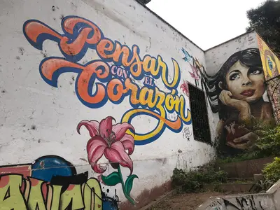
    Barranco is located south of Miraflores on the coastal cliffs and was once a seaside resort for wealthy Limeños. In the early 20th century, writers and artists moved here; today, colorful houses, murals, galleries, cafes, and bars define the district. Barranco is Lima's nightlife district.Its landmark is the wooden Puente de los Suspiros, beneath which the cobbled Bajada de los Baños leads down to the sea. Barranco also houses the MATE photography museum by Mario Testino and the Museo de Arte Contemporáneo (MAC). The Auswärtige Amt names Barranco, alongside Miraflores, as a district where evening thefts occur.
    Miraflores

    Miraflores

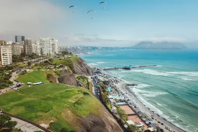
    Miraflores is the district where most travelers in Lima stay. It is located on the steep cliffs above the Pacific: Along the Malecón, parks and pathways stretch, and on the cliff, the Larcomar shopping center is built into the rock. The heart of the neighborhood is Parque Kennedy.Amidst residential blocks stands Huaca Pucllana, a seven-tiered adobe pyramid, which the Lima culture used as a ceremonial and administrative center between approximately 200 and 700 AD. You can visit it with a guided tour, and a small museum is included.

    Sources & method

    • Photos: Wikimedia Commons. Each photo carries its credit.
    • Place data such as addresses and ratings comes from Google Maps.
    • The content is based on web research from public, traceable sources. How the content is made · The role of AI