ExploreTravel GuidesPlan a trip
    de|en
    All Places & RegionsAbout FernwehFAQPrivacy PolicyImprint
    ExploreTravel GuidesPlan a trip
    • Neighborhoods & highlights
    • Eat & drink
    • Accommodation
    • Plan trip
    • Nearby
    Burg (Spreewald)
    Stefan Fussan / Wikimedia Commons / CC BY-SA 3.0

    Germany

    Burg (Spreewald)

    City

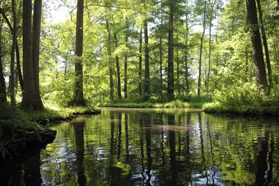
    Burg, Lower Sorbian Bórkowy, is located in the heart of the Oberspreewald, about 20 kilometers northwest of Cottbus.

    1. Home
    2. Destinations
    3. Germany
    4. Spreewald
    5. Burg (Spreewald)
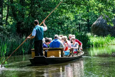
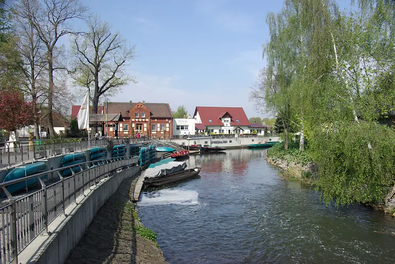
    Burg, Lower Sorbian Bórkowy, is located in the heart of the Oberspreewald, about 20 kilometers northwest of Cottbus. The districts of Burg-Kauper and Burg-Kolonie developed as scattered settlements, with their farmsteads widely spread across the so-called Kaupen.Here you can rent paddle boats or be punted in a Spreewaldkahn, and the village is a starting point for water hiking tours. For the best views, head to the Bismarckturm on Schlossberg; for relaxation, the Spreewald-Therme, opened in 2005, entices with its brine water.

    Sights in Burg (Spreewald)

    Discover the most important sights and attractions
    Bismarck Tower
    Historic Landmark

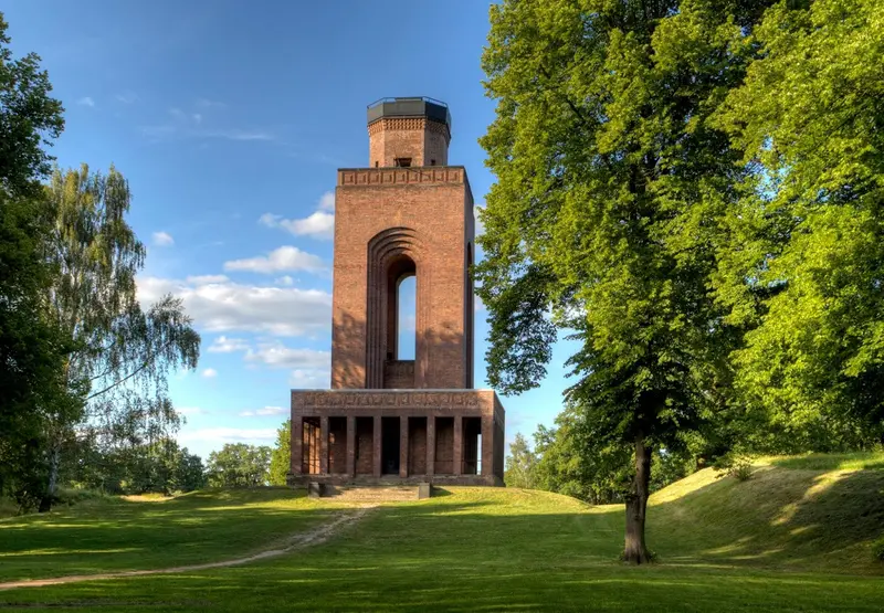
    1Bismarck Tower

    Der 1915 bis 1917 auf einem frühgeschichtlichen Wall am 62 Meter hohen Schlossberg errichtete Turm hat eine Aussichtsplattform in 28 Metern Höhe.
    Open in Google Maps
    Spreewald Therme
    Spa

    2Spreewald Therme

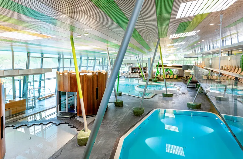
    The spa draws its brine thermal water directly on site from 1,350 meters deep. In the 36°C intensive brine pool (8% salinity), you float almost weightlessly. The Sauna Garden includes seven saunas.
    Open in Google Maps

    Restaurants in Burg (Spreewald)

    1

    Café History Parlour

    Rustic cafe and restaurant in a half-timbered house with hearty German cuisine and antique decor.
    Show on Google Maps
    2

    La Bicicletta

    Italian bistro with delicatessen on Ringchaussee.
    Show on Google Maps
    3

    Kingfisher Spreewald Manufactory

    Restaurant on the main street that Google assigns to Korean cuisine.
    Show on Google Maps

    Accommodations in Burg (Spreewald)

    Find perfect stay in Burg (Spreewald)

    Booking.com* (Affiliate link)
    Search Hotels
    Agoda* (Affiliate link)
    Search Hotels
    Airbnb
    Vacation Rentals

    * Affiliate link: if you book through it, we earn a small commission. The price stays the same for you.

    Campgrounds in Burg (Spreewald)

    Find perfect campground in Burg (Spreewald)

    Search via Google Maps
    Campgrounds nearby (15km)
    Camping.info
    Find Campgrounds
    Park4Night
    RV Parks & Camping

    Plan your trip to Burg (Spreewald)

    Save places, build a route and plan your city trip, all in one place.

    1. 1
      1234

      Round trip

      12 days · 4 stops

      Saved

      Pick a route

      Pick a ready-made one or save places and plan your own.

      Open bookmarks
    2. 2

      Trip to Burg (Spreewald)

      Live
      • 1Bismarck Tower3 days
      • 2Spreewald Therme4 days
      Budget

      Plan your trip

      The planner sorts stops, days and budget. Plan together in real time.

      Start trip planning
    3. 3
      9:41 No signal
      Available offline

      Use it on the road

      Download the guide to your phone and use it on site, even offline.
    Nearby

    Spreewald

    Spreewald

    The Spreewald is a water landscape southeast of Berlin, crisscrossed by over 970 kilometers of natural and artificial waterways. Since 1991, it has been recognized by UNESCO as a Biosphere Reserve. It is divided into the larger Oberspreewald in the south and the smaller Unterspreewald in the north, which meet near Lübben.The cultural landscape was significantly shaped by the Sorbs, and cucumbers are cultivated on approximately 500 hectares. The best way to experience the region is by punt: Punted trips depart from places including Lübbenau, Lübben, Lehde, and Burg.
    Lübbenau

    Lübbenau

    Lübbenau (Lower Sorbian: Lubnjow) is the gateway to the Spreewald, 80 kilometers southeast of Berlin. From the Großer Spreewaldhafen, the region's biggest port, punted barges navigate the labyrinth of waterways; tourism began here in 1882.The old town, with St. Nikolai Church (built 1738-1741) and the neoclassical castle, is already within the Biosphere Reserve. In Lehde, where mail is delivered by barge from April to October, the Open-Air Museum illustrates Spreewald life of yesteryear.
    Neukölln

    Neukölln

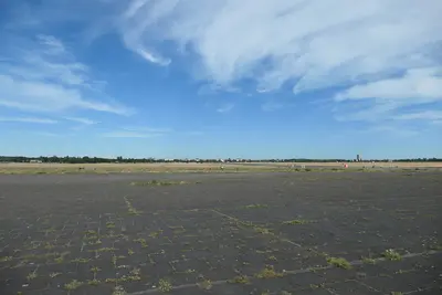
    Until 1912, Neukölln was called Rixdorf: A document from 1360 mentions the village, and in 1737 Friedrich Wilhelm I. settled Bohemian religious refugees who founded Böhmisch-Rixdorf. In 1899 Rixdorf became a city, in 1920 Neukölln joined Greater Berlin, and after the war, it belonged to West Berlin. Today, the densely built-up north with its Gründerzeit districts is vibrantly diverse; by mid-2021 almost half of its residents had a migration background from 155 countries.You can stroll along Sonnenallee and Karl-Marx-Straße, discover old Rixdorf around Richardplatz with its forge and Bethlehemskirche, and descend into the lower-lying Körnerpark. In Reuterkiez, which Berliners call Kreuzkölln, and in Schillerkiez, many bars and cafés have opened since the 2000s, and right next door, the expansive Tempelhofer Feld beckons. At Hermannplatz U-Bahn station, lines U7 and U8 intersect, and the S-Bahn lines S41, S42, S45, S46, and S47 also run through the district.
    Friedrichshain

    Friedrichshain

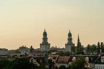
    Friedrichshain owes its name to the Volkspark Friedrichshain in the north, laid out from 1846 as Berlin's first public park, and reaching south to the Spree. The 1950s saw the creation of Stalinallee, today's Karl-Marx-Allee, whose Socialist Classicist buildings are now listed monuments; the uprising of June 17, 1953 began on its construction sites. To the east, Gründerzeit tenements define the image; since 2001, the district has formed a joint borough with Kreuzberg.Stroll along Karl-Marx-Allee from Strausberger Platz to Frankfurter Tor, ascend the Großer Bunkerberg in the Volkspark, and browse the Saturday weekly market at Boxhagener Platz. In the evenings, bars and restaurants around Simon-Dach-Straße draw visitors from across the city. Warschauer Straße station serves S-Bahn lines S3, S5, S7, S75, S9, and is the terminus for U-Bahn lines U1 and U3; Ostkreuz is Berlin's busiest station.
    Kreuzberg

    Kreuzberg

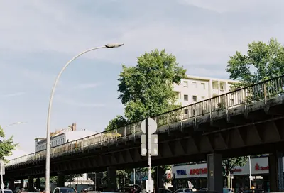
    Kreuzberg is a district in the Friedrichshain-Kreuzberg borough, named after the 66-meter-high Kreuzberg hill in Viktoriapark, where Schinkel's National Monument for the Liberation Wars has stood since 1821. During the time of the Berlin Wall, the eastern part, SO 36, was enclosed on three sides and became the hub of the alternative movement and squatting in the 1970s and 1980s. Today, around 160,000 people live here, many with Turkish roots, and its nightlife and cultural scene are well-known far beyond Berlin.During the day, you can visit the Jewish Museum or the German Museum of Technology, climb the Kreuzberg hill in Viktoriapark, or meet up at the Admiralbrücke over the Landwehrkanal, a popular meeting spot. In the evenings, the district's nightlife beckons. You can get here via U-Bahn lines U1 and U3, which largely follow the former Akzisemauer, with U6 and U8 running north-south, and also with U7; in total, there are 14 U-Bahn stations in the district.