Fernweh: Home
    ExploreTravel GuidesPlan a tripMy tripLast visited
    de|en
    All Places & RegionsAll highlightsAbout FernwehFAQPrivacy PolicyImprint
    ExploreTravel GuidesPlan a tripMy tripLast visited
    Merzouga & Erg Chebbi
    Thomas Fuhrmann / Wikimedia Commons / CC BY-SA 4.0

    Morocco

    Merzouga & Erg Chebbi

    Point of Interest

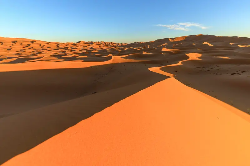
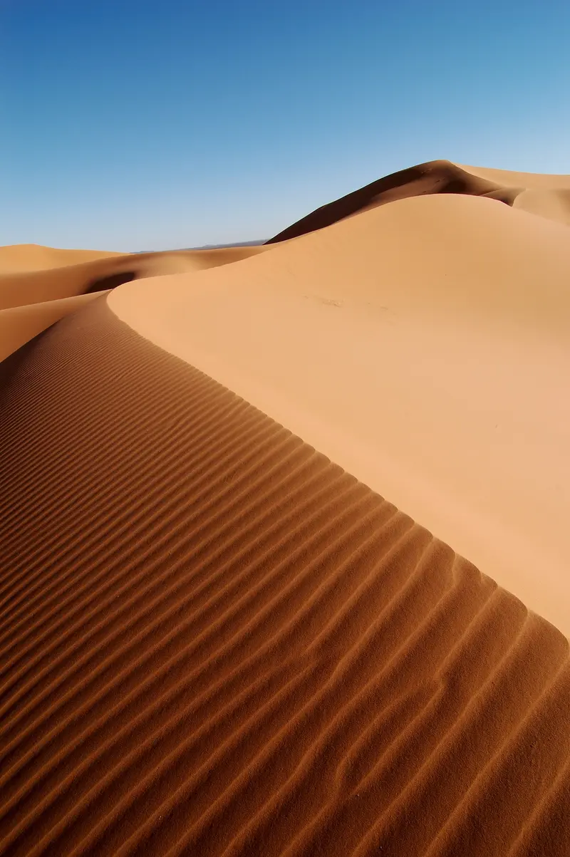
    At Merzouga in southeastern Morocco, the Erg Chebbi rises, a roughly 28-kilometer-long dune sea with dunes about 150 meters high. Many travelers come for a camel ride into the dunes and a night in a desert camp.

    by Felix Gillen

    1. Home
    2. Destinations
    3. Morocco
    4. South: Kasbahs & Desert
    5. Merzouga & Erg Chebbi
    At Merzouga in southeastern Morocco, the Erg Chebbi rises, a roughly 28-kilometer-long dune sea with dunes about 150 meters high. Many travelers come for a camel ride into the dunes and a night in a desert camp. The village is located about 50 kilometers from the Algerian border.

    Sights in Merzouga & Erg Chebbi

    Discover the most important sights and attractions
    Khamlia
    Historic Landmark

    1Khamlia

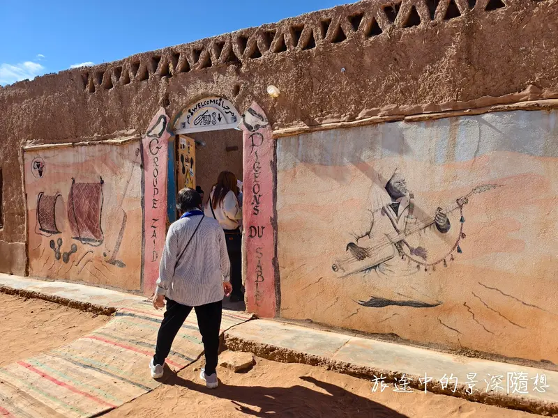
    The village, about seven kilometers from Merzouga, is known for its Gnawa music. Many residents have West African ancestors.
    Open in Google Maps
    Dunes of Erg Chebbi
    Historic Landmark

    2Dunes of Erg Chebbi

    The dune sea is around 28 kilometers long and five to seven kilometers wide, with the highest dunes rising about 150 meters above the surrounding stone desert.
    Open in Google Maps

    3Dayet Srji

    The rain-fed lake at the edge of Erg Chebbi usually holds water from November to May. In wet years, flamingos often rest here.
    Open in Google Maps

    Restaurants in Merzouga & Erg Chebbi

    1

    Restaurant Nora

    Small restaurant in Khamlia, known for Berber pizza (Medfouna) with mint tea. Best to call ahead.
    Show on Google Maps
    2

    Café Restaurant Merzouga

    Café-restaurant with Berber pizza, salads, and vegetarian dishes.
    Show on Google Maps
    3

    Restaurant Jordi & Naima

    Restaurant on the outskirts offering Moroccan and Spanish cuisine, Tajines and burgers. Beer and wine are also served.
    Show on Google Maps
    4

    Café Restaurant Alla

    Small restaurant in Khamlia serving Berber pizza, also offering cooking classes.
    Show on Google Maps

    Food & Beverages

    Medfouna (Berber pizza)

    Traditional dish from Tafilalet: stuffed double bread, formerly baked in hot desert sand. Its name means buried.

    Medjool dates

    The Medjool date originates in the Tafilalet oasis region and is cultivated there to this day.

    Culture & History

    Life on the Edge of the DunesMerzouga is located approximately 35 kilometers southeast of Rissani. In the neighboring village of Khamlia, musicians preserve Gnawa music, and many residents have West African ancestors. West of Merzouga, after rain, Lake Dayet Srji fills up, where flamingos often gather.Weather and NatureOn May 26, 2006, a flash flood destroyed numerous houses and hotels. Since 2024, after heavy rainfall, Lake Yasmina has newly formed.

    Getting around

    Getting thereFrom Fès, Supratours runs one overnight bus a day, taking just under ten hours. There is no direct connection from Marrakesh.Most visitors come on a multi-day tour from Marrakesh via Aït-Ben-Haddou and the Dadès and Todra gorges, or by hire car.Check the FCDO travel advice before booking a desert tour and use registered guides.Best time to visitOctober to April is the most pleasant period, midsummer is very hot. Winter nights get much colder, so pack warm clothes.

    Accommodations in Merzouga & Erg Chebbi

    Find perfect stay in Merzouga & Erg Chebbi

    Booking.com* (Affiliate link)
    Search Hotels
    Agoda* (Affiliate link)
    Search Hotels
    Airbnb
    Vacation Rentals

    * Affiliate link: if you book through it, we earn a small commission. The price stays the same for you.
    Nearby

    Todra Canyon

    Todra Canyon

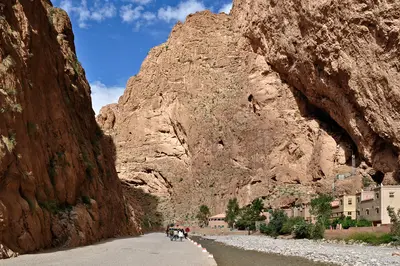
    The Todra Gorge is located about 15 kilometers north of Tinghir, where the Todgha River has carved its way through the rock. For the final 600 meters, the gorge narrows to approximately ten meters, with walls soaring up to 160 meters high. The cliffs are a popular climbing area.
    Gorge of Dadès

    Gorge of Dadès

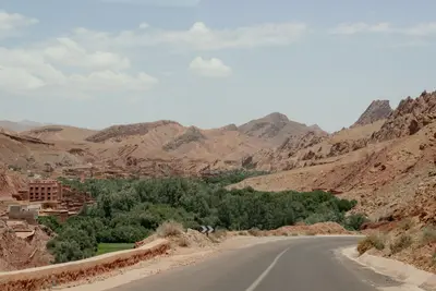
    The Dadès Gorge stretches north of Boumalne Dadès into the High Atlas, with rock walls 200 to 500 meters high above the valley floor. Famous are the red rock formations known as the Monkey Fingers and the winding road that ascends the gorge in tight hairpin bends. The valley is home to kasbahs, villages, and guesthouses.
    Zagora & Drâa Tal

    Zagora & Drâa Tal

    Zagora is the capital of the eponymous province in the Drâa Valley, whose palm groves stretch south of the Atlas towards the Sahara. The city is a starting point for the pottery and library village of Tamegroute and for tours via M'Hamid into the dunes of Erg Chigaga.
    Ouzoud Waterfalls

    Ouzoud Waterfalls

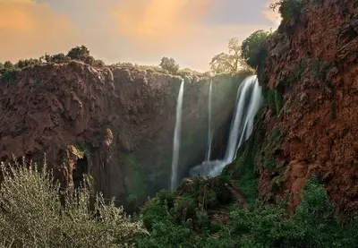
    The Ouzoud Waterfalls in Azilal Province cascade 110 meters in three tiers into the Oued el-Abid gorge. They are about 150 kilometers northeast of Marrakech. Barbary macaques live in the trees around the falls.
    South: Kasbahs & Desert

    South: Kasbahs & Desert

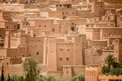
    South of the High Atlas begins the land of mud-brick kasbahs and oases: the Ksar Aït-Ben-Haddou, the film city Ouarzazate, the gorges of Dadès and Todra and at the end the sand dunes of Erg Chebbi near Merzouga.

    Sources & method

    • Photos: Wikimedia Commons, Google Maps. Each photo carries its credit.
    • Place data such as addresses and ratings comes from Google Maps.
    • The content is based on web research from public, traceable sources. How the content is made · The role of AI