Fernweh: Home
    ExploreTravel GuidesPlan a tripMy tripLast visited
    de|en
    All Places & RegionsAll highlightsAbout FernwehFAQPrivacy PolicyImprint
    ExploreTravel GuidesPlan a tripMy tripLast visited
    • Neighborhoods & highlights
    • Eat & drink
    • Culture
    • Getting around
    • Accommodation
    • Plan trip
    • Nearby
    Zagora & Drâa Tal

    Morocco

    Zagora & Drâa Tal

    City

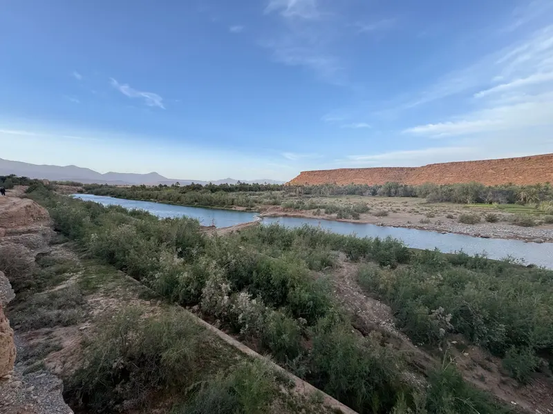
    Zagora is the capital of the eponymous province in the Drâa Valley, whose palm groves stretch south of the Atlas towards the Sahara.

    by Felix Gillen

    1. Home
    2. Destinations
    3. Morocco
    4. South: Kasbahs & Desert
    5. Zagora & Drâa Tal
    Zagora is the capital of the eponymous province in the Drâa Valley, whose palm groves stretch south of the Atlas towards the Sahara. The city is a starting point for the pottery and library village of Tamegroute and for tours via M'Hamid into the dunes of Erg Chigaga.

    Sights in Zagora & Drâa Tal

    Discover the most important sights and attractions

    Library of the Zawiya Nassiriyya (Tamegroute)
    Point of Interest

    1Library of the Zawiya Nassiriyya (Tamegroute)

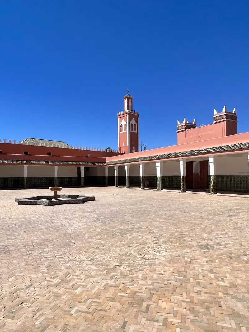
    In the library of the religious brotherhood in Tamegroute, around 4,000 manuscripts are preserved, including an 11th-century Quran on gazelle leather. Photography is not allowed.
    Open in Google Maps

    Restaurants in Zagora & Drâa Tal

    Culture & History

    TamegrouteTamegroute has been a religious center since the 11th century. The library of Zawiya Nassiriyya preserves around 4,000 manuscripts. The village is also known for its green glazed pottery, the glaze created by oxidized copper.To Erg ChigagaM'Hamid is located about 100 kilometers further south. From there, it's another 50 to 60 kilometers to Erg Chigaga, which is only accessible by 4x4, camel, or on foot. In Zagora itself, remnants of an Almoravid fortress are preserved at the foot of Jbel Zagora.

    Exploring locally

    Getting ThereCTM buses run twice daily from Marrakech to Zagora; the journey takes around seven hours.For Tamegroute and M'Hamid, take a Grand Taxi or rental car; for Erg Chigaga, an organised 4x4 transfer.

    Accommodations in Zagora & Drâa Tal

    Find perfect stay in Zagora & Drâa Tal

    Booking.com* (Affiliate link)
    Search Hotels
    Agoda* (Affiliate link)
    Search Hotels
    Airbnb
    Vacation Rentals

    * Affiliate link: if you book through it, we earn a small commission. The price stays the same for you.

    Plan your trip to Zagora & Drâa Tal

    Save places, build a route and plan your city trip, all in one place.

    1. 1
      Sunrise over alpine peaks and a sea of clouds
      1234

      Round trip

      12 days · 4 stops

      Saved

      Pick a route

      Pick a ready-made one or save places and plan your own.

      Open bookmarks
    2. 2

      Trip to Zagora & Drâa Tal

      Live
      • 1Library of the Zawiya Nassiriyya (Tamegroute)3 days
      Budget

      Plan your trip

      The planner sorts stops, days and budget. Plan together in real time.

      Start trip planning
    3. 3
      9:41 No signal
      Zagora & Drâa Tal
      Available offline

      Use it on the road

      Download the guide to your phone and use it on site, even offline.

    Nearby

    South: Kasbahs & Desert

    South: Kasbahs & Desert

    South of the High Atlas begins the land of mud-brick kasbahs and oases: the Ksar Aït-Ben-Haddou, the film city Ouarzazate, the gorges of Dadès and Todra and at the end the sand dunes of Erg Chebbi near Merzouga.
    Ouarzazate

    Ouarzazate

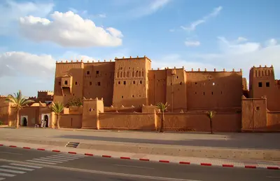
    Ouarzazate lies south of the High Atlas at around 1,150 meters and is often called the Gateway to the Desert. The city grew during French rule as a garrison and administrative post and is now home to Atlas Studios, where many international films were filmed. Ksar Aït-Ben-Haddou lies about 30 kilometers northwest.
    Gorge of Dadès

    Gorge of Dadès

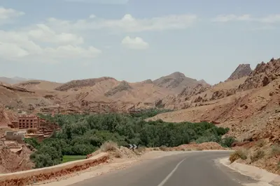
    The Dadès Gorge stretches north of Boumalne Dadès into the High Atlas, with rock walls 200 to 500 meters high above the valley floor. Famous are the red rock formations known as the Monkey Fingers and the winding road that ascends the gorge in tight hairpin bends. The valley is home to kasbahs, villages, and guesthouses.
    Todra Canyon

    Todra Canyon

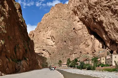
    The Todra Gorge is located about 15 kilometers north of Tinghir, where the Todgha River has carved its way through the rock. For the final 600 meters, the gorge narrows to approximately ten meters, with walls soaring up to 160 meters high. The cliffs are a popular climbing area.
    Aït-Ben-Haddou

    Aït-Ben-Haddou

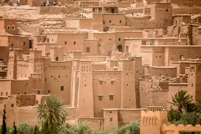
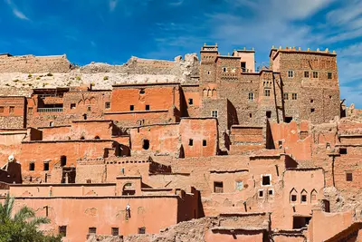
    The Ksar Aït-Ben-Haddou is a fortified mud-brick settlement in the Ounila Valley on the old caravan route between the Sahara and Marrakesh. Since 1987, it has been a UNESCO World Heritage site. The backdrop of mud-brick kasbahs on the hillside above the river served for films like Lawrence of Arabia and Gladiator.

    Sources & method

    • Photos: Pexels, Google Maps. Each photo carries its credit.
    • Place data such as addresses and ratings comes from Google Maps.
    • The content is based on web research from public, traceable sources. How the content is made · The role of AI