Fernweh: Home
    ExploreTravel GuidesPlan a tripMy tripLast visited
    de|en
    All Places & RegionsAll highlightsAbout FernwehFAQPrivacy PolicyImprint
    ExploreTravel GuidesPlan a tripMy tripLast visited
    Nemrut Dağı
    Bernard Gagnon / Wikimedia Commons / CC BY-SA 3.0

    Turkey

    Nemrut Dağı

    Point of InterestUNESCOMountainsCultureNature

    Nemrut Dağı is a mountain in the Anti-Taurus range in Southeast Anatolia, on whose summit King Antiochus I of Commagene had his tomb-sanctuary with colossal statues of gods erected.

    by Felix Gillen

    1. Home
    2. Destinations
    3. Turkey
    4. Southeastern Anatolia
    5. Nemrut Dağı
    Nemrut Dağı is a mountain in the Anti-Taurus range in Southeast Anatolia, on whose summit King Antiochus I of Commagene had his tomb-sanctuary with colossal statues of gods erected. Since 1987, it has been a UNESCO World Heritage site and is a popular destination, especially for sunrise and sunset. Starting points are Kahta and the village of Karadut at the foot of the mountain, about 85 km from Adıyaman.

    Sights in Nemrut Dağı

    Discover the most important sights and attractions

    Tomb Sanctuary of Antiochos I.
    Historic Landmark

    1Tomb Sanctuary of Antiochos I.

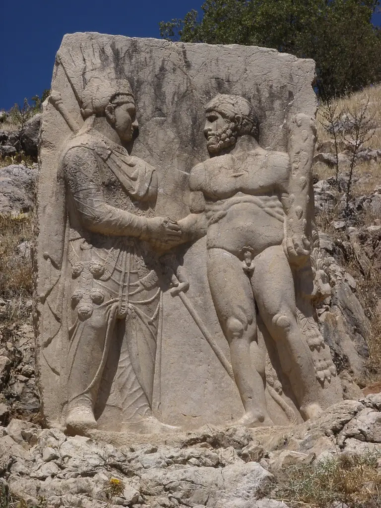
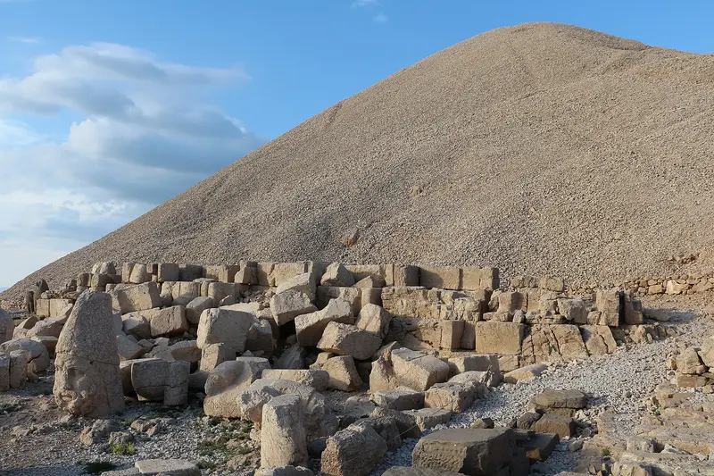
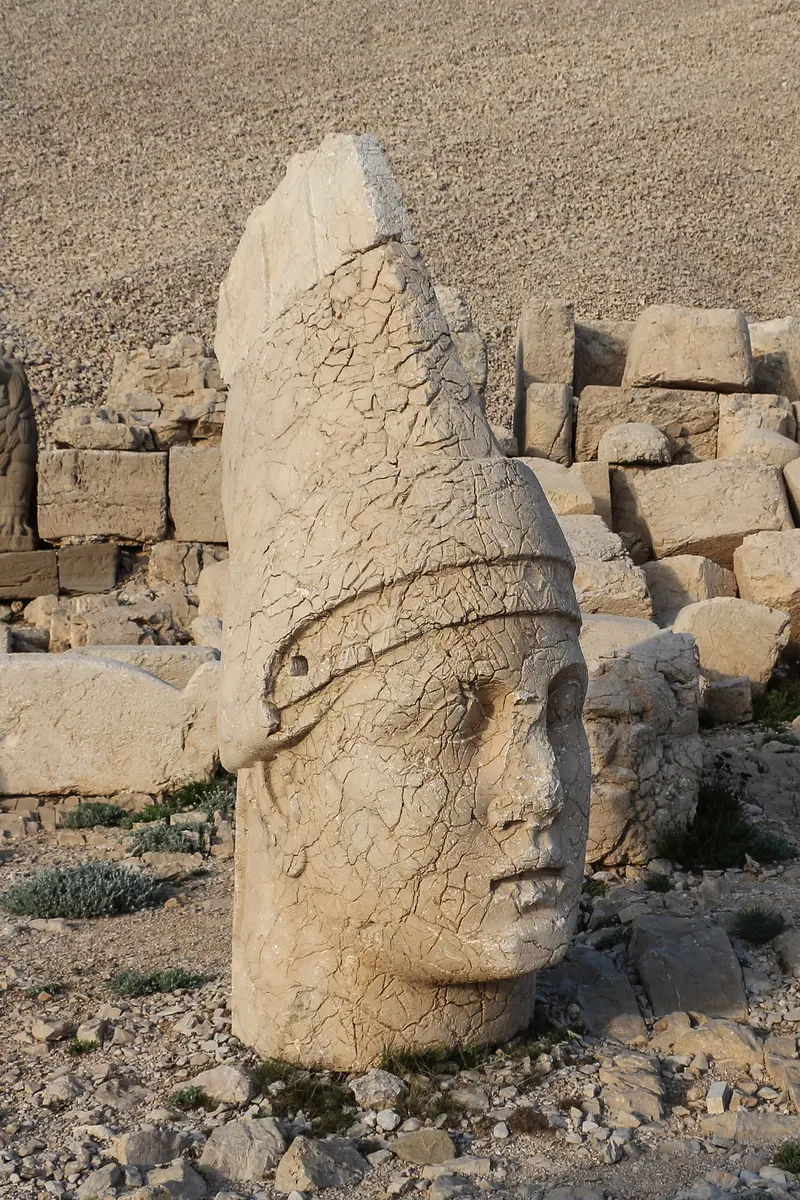
    King Antiochus I of Commagene had a 49m-high burial mound built on the summit around 62 BC. On the East and West Terraces stand 8 to 9m-tall statues of Antiochus, lions, eagles, and Greek-Iranian gods. Their heads were severed and lie scattered on the grounds. Head to the East Terrace for sunrise, the West Terrace for sunset.
    Open in Google Maps
    Karakuş Tümülüsü
    Attraction

    2Karakuş Tümülüsü

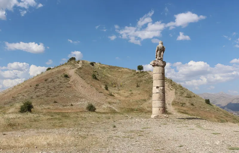
    The tumulus honors the royal women of Kommagene, including Queen Isias. Around it stand columns that once bore eagles, lions, and bulls; the name Karakuş (black bird) derives from the eagle column. Many tours combine it with the Roman Cendere Bridge and Nemrut.
    Open in Google Maps
    Arsameia on Nymphaios
    Historic Landmark

    3Arsameia on Nymphaios

    The summer residence of the kings of Commagene was also a cult site for Mithridates I Callinicus, the father of Antiochus. Preserved are stelae with reliefs, inscriptions, tombs, and fortification remnants. Arsameia lies on the route from Kahta to the summit.
    Open in Google Maps

    Restaurants in Nemrut Dağı

    Culture & History

    The Kingdom of CommageneAround 62 BC, Antiochos I had a 49 m high and 152 m wide tumulus erected on the summit. His father, Mithridates I Kallinikos, was revered in Arsameia.Gods from East and WestThe 8 to 9 m high statues combine Greek and Iranian gods, flanked by lions and eagles. The heads were separated and today lie scattered on the terraces. The complex includes eastern and western terraces.Around the MountainThe Roman Cendere Bridge honours Emperor Septimius Severus; three of its originally four Corinthian columns still stand. The Karakuş tumulus is dedicated to the royal women of Commagene.

    Getting There & Around

    Getting ThereThe nearest airport is Adıyaman, from there it's about a 40-minute drive to Kahta. From Kahta, allow about an hour to reach the summit. Dolmuş minibuses operate between Kahta and Karadut. From Karadut, it's about 12 km to the summit, and guesthouses there can arrange taxis.SeasonTravel Season: The mountain is usually visited from April to October; in winter, access is typically closed due to snow. In 2026, the roads to the summit reopened on April 4.Snow: Even in April 2026, there were still patches of 1 to 2 meters of snow on the West Terrace.Footpath: From the parking area, a steep, rocky path several hundred meters long leads to the summit.TipFor sunrise, tours from Kahta typically start around 2 AM. The summit is over 2,100 m high, and snow can persist until spring. Bring warm clothing.

    Accommodations in Nemrut Dağı

    Find perfect stay in Nemrut Dağı

    Booking.com* (Affiliate link)
    Search Hotels
    Agoda* (Affiliate link)
    Search Hotels
    Airbnb
    Vacation Rentals

    * Affiliate link: if you book through it, we earn a small commission. The price stays the same for you.

    Campgrounds in Nemrut Dağı

    Find perfect campground in Nemrut Dağı

    Search via Google Maps
    Campgrounds nearby (15km)
    Camping.info
    Find Campgrounds
    Park4Night
    RV Parks & Camping

    Nearby

    Southeastern Anatolia

    Southeastern Anatolia

    Southeastern Anatolia is the land between the Euphrates and Tigris, bordering Syria, home to Göbekli Tepe, the colossal statues of Mount Nemrut, and the stone city of Mardin. Here lie some of humanity's oldest cult sites, plus Gaziantep, the capital of Turkish cuisine. If you seek archaeology and hearty, spicy cuisine, this is the right place.
    Şanlıurfa & Göbekli Tepe

    Şanlıurfa & Göbekli Tepe

    Şanlıurfa is the city of Abraham in southeastern Turkey and the starting point for Göbekli Tepe, one of humanity's oldest known sanctuaries. Pilgrim ponds with sacred carp, bazaars, and a spicy cuisine characterize the old town. The city has around 600,000 inhabitants; the old town and Balıklıgöl are located at the foot of the castle hill, with museums slightly north in the Haleplibahçe quarter.
    Gaziantep

    Gaziantep

    Gaziantep in southeast Turkey, about 97 km north of Aleppo, has been a UNESCO Creative City of Gastronomy since 2015 and is known for baklava, kebap, and pistachios. In the Zeugma Mosaic Museum, you can see the mosaics from the ancient city of Zeugma on the Euphrates. The city has around 1.9 million inhabitants; its castle, bazaars, and coffee houses are located in the old town center.
    Mardin

    Mardin

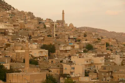
    Mardin, in southeastern Turkey, perches on a slope above the Mesopotamian Plain, famed for its south-facing stone old town. Madrasahs, mosques, and Syriac Orthodox monasteries speak of Artuqids, Akkoyunlu, and past Christian communities. With around 130,000 residents, its old town stretches below the citadel down the south slope, best explored on foot.
    Ürgüp

    Ürgüp

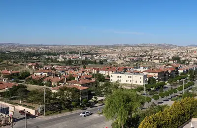
    Ürgüp is a small town with just under 25,000 inhabitants in the heart of Cappadocia and is considered the main center for regional viticulture. Ottoman-era stone houses, cave hotels in the rock faces, and the Temenni Wish Hill define the center. At the western entrance to the town stand the Üç Güzeller Fairy Chimneys; a few kilometers south lies the village of Mustafapaşa with its Greek mansions.

    Sources & method

    • Photos: Wikimedia Commons. Each photo carries its credit.
    • Place data such as addresses and ratings comes from Google Maps.
    • The content is based on web research from public, traceable sources. How the content is made · The role of AI