Fernweh: Home
ExploreGuideDestinationsMy tripsMy trip
de|en
All Places & RegionsRound tripsNight trains in EuropeAll highlightsAbout FernwehFAQPrivacy PolicyImprint
Download on the App StoreGet it on Google Play
ExploreGuideDestinationsMy tripsMy trip
    • Places & highlights
    • Tours
    • Eat & drink
    • Culture
    • Getting around
    • Accommodation
    • Nearby
    Grampians National Park (Gariwerd)

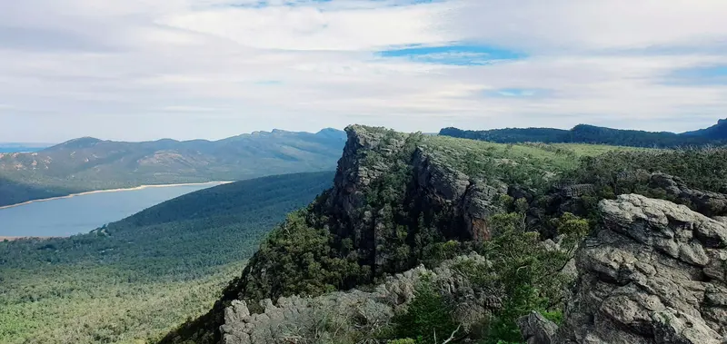
    Photo by Lycheeart on Unsplash

    Australia

    Grampians National Park (Gariwerd)

    Point of Interest

    The Grampians National Park, Aboriginal Gariwerd, is located approximately 260 kilometres west of Melbourne in western Victoria.

    by Felix Gillen

    1. Home
    2. Destinations
    3. Australia
    4. Grampians National Park (Gariwerd)
    The Grampians National Park, Aboriginal Gariwerd, is located approximately 260 kilometres west of Melbourne in western Victoria. Sandstone ranges, scenic lookouts, and waterfalls characterise the park, founded in 1984; its highest peak is Mount William at 1,167 metres. According to Parks Victoria, it boasts the most significant Aboriginal rock art and shelters in southern Australia.Halls Gap is the starting point. Please note the status for 2026: MacKenzie Falls are expected to be closed until the end of 2026 due to construction, the Brambuk Cultural Centre is closed for renovation, and several trails remain shut after bushfires. Before visiting, check Parks Victoria's advisories.
    Australia travel guideRound trips in AustraliaPlan a trip with Grampians National Park (Gariwerd)

    Contents

    • Places & highlights
    • Tours
    • Eat & drink
    • Culture
    • Getting around
    • Accommodation
    • Nearby

    Sights in Grampians National Park (Gariwerd)

    Discover the most important sights and attractions

    Attraction

    1The Balconies

    Viewpoint with rocky ledges west of Halls Gap. According to Parks Victoria, the Balconies remain accessible during construction work at MacKenzie Falls.
    Open in Google Maps
    Attraction

    2Boroka Lookout

    Lookout above Halls Gap, accessible according to Parks Victoria even during construction work at MacKenzie Falls.
    Open in Google Maps
    Attraction

    3Brambuk, The National Park and Cultural Centre

    Visitor and Cultural Centre in Halls Gap. As of November 2026, the Cultural Centre is closed for renovation; Information Centre and shop are open.
    Open in Google Maps

    Tours & experiences in Grampians National Park (Gariwerd)

    Search tours for Grampians National Park (Gariwerd) on GetYourGuide* (Affiliate link)On GetYourGuide, with reviews from other travellers

    * Affiliate link: if you book through it, we earn a small commission. The price stays the same for you.

    Restaurants in Grampians National Park (Gariwerd)

    Culture and Nature

    GariwerdAround 90% of Victoria's rock art is located here. Parks Victoria states it holds Southern Australia's most significant Aboriginal rock art and shelters, including Gulgurn Manja. The Brambuk Cultural Centre is closed for renovation; the info centre and shop remain open.HikingOpened in 2021, the 164 km Grampians Peaks Trail spans 13 days from Mount Zero to Dunkeld, crossing the park's peaks.

    Arrival and Current Status

    Getting ThereThe Grampians are located approximately 260 kilometers west of Melbourne. Halls Gap is the starting point for most trails.Closures 2026MacKenzie Falls: The car park and trails at the waterfall have been closed since February 9, 2026, due to construction work, expected until the end of 2026.Closed due to bushfires: including Red Gum Walk, Fortress Walk, Billimina Walk and Chimney Pots Walk.Still accessible: The Balconies, Boroka Lookout and The Pinnacle.Parks Victoria publishes the current status of trails and roads; please check before your visit.

    Accommodations in Grampians National Park (Gariwerd)

    Find perfect stay in Grampians National Park (Gariwerd)

    Booking.com* (Affiliate link)
    Search Hotels
    Agoda* (Affiliate link)
    Search Hotels
    Airbnb
    Vacation Rentals

    * Affiliate link: if you book through it, we earn a small commission. The price stays the same for you.

    Nearby

    Shipwreck Coast

    Shipwreck Coast

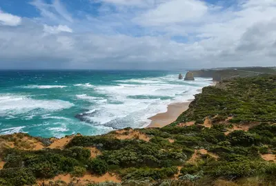
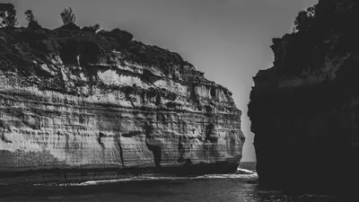
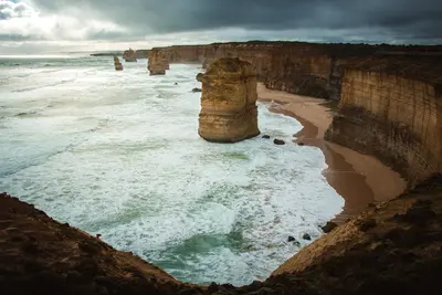
    The Shipwreck Coast between Princetown and Warrnambool is the wildest stretch of the Great Ocean Road: limestone cliffs, rock stacks, and narrow coves. More than 600 ships are said to have sunk here.

    Unsplash

    Great Ocean Road

    Great Ocean Road

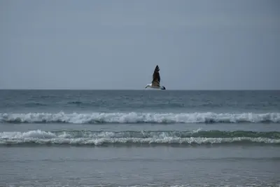
    The roughly 240-kilometer coastal road southwest of Melbourne runs from Torquay, via Lorne and Apollo Bay, to the limestone cliffs of the Twelve Apostles. Along the way, surf beaches, rainforest in the Otway Ranges, and steep cliffs alternate.

    Unsplash

    Otway Coast & Hinterland

    Otway Coast & Hinterland

    Between Lorne and Princetown, the Great Ocean Road leaves the coast and leads through the Great Otway National Park: cool rainforest, waterfalls, koalas, and Apollo Bay, a good base.

    Mark Direen·Pexels

    Surf Coast

    Surf Coast

    The Surf Coast between Torquay and Aireys Inlet kicks off the Great Ocean Road: long beaches, surf spots like Bells Beach, and relaxed coastal towns an hour from Melbourne.

    Unsplash

    Melbourne

    Melbourne

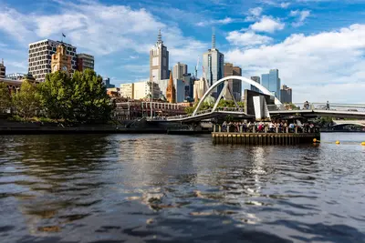
    Melbourne, Victoria's capital, is Australia's second-largest city with around 5 million residents. Situated on Port Phillip Bay and the Yarra River, it's considered the country's cultural heart, boasting Victorian architecture, laneways filled with cafes and street art, and major sporting events.The city centre is compact and easily explored by tram. Neighborhoods like Fitzroy, Southbank, and St Kilda each boast their own character.

    Unsplash

    Your next steps

    Grampians National Park (Gariwerd) is in Australia. Ways to carry on from here.

    • More in Australia

      Highlights, areas, routes and the best time to travel for all of Australia.

      Australia travel guide
    • Round trips in Australia

      Ready-made routes through Australia, with stops, nights and a map.

      See the routes
    • Plan a trip with Grampians National Park (Gariwerd)

      The Guide asks about season, length and who is coming, and suggests a trip with Grampians National Park (Gariwerd).

      Plan the trip
    Sources & method

    • Photos: Unsplash. Each photo carries its credit.
    • Place data such as addresses and ratings comes from Google Maps.
    • The content is based on web research from public, traceable sources. How the content is made · The role of AI