Fernweh: Home
ExploreGuideDestinationsMy tripsMy trip
de|en
All Places & RegionsRound tripsNight trains in EuropeAll highlightsAbout FernwehFAQPrivacy PolicyImprint
Download on the App StoreGet it on Google Play
ExploreGuideDestinationsMy tripsMy trip
    • Places in the region
    • Culture
    • Getting around
    • Round trips
    • Nearby
    Viti Levu

    HutheMeow / Wikimedia Commons / CC BY-SA 4.0, mod.

    Fiji

    Viti Levu

    Region

    Viti Levu, at just over 10,000 square kilometers, is Fiji's largest island and the country's hub. In the drier west are the international airport Nadi, Denarau, and Lautoka, while the wetter southeast is home to the capital, Suva.

    by Felix Gillen

    1. Home
    2. Destinations
    3. Fiji
    4. Viti Levu
    Viti Levu, at just over 10,000 square kilometers, is Fiji's largest island and the country's hub. In the drier west are the international airport Nadi, Denarau, and Lautoka, while the wetter southeast is home to the capital, Suva. Between them, along the south coast, runs the Coral Coast, featuring Natadola, Sigatoka, and Pacific Harbour.Inland, the highlands rise to Tomanivi, at 1,324 meters Fiji's highest peak. In the highlands lies the traditional village of Navala, and off the coast near Pacific Harbour is the Beqa Lagoon, known for shark dives and the firewalkers of Beqa.
    Fiji travel guideSee the round tripPlan a trip with Viti Levu

    Contents

    • Places in the region
    • Culture
    • Getting around
    • Round trips
    • Nearby
    Pacific Harbour and Beqa Lagoon

    Maksym Kozlenko / Wikimedia Commons / CC BY-SA 4.0, mod.

    Place 1 of 4

    Pacific Harbour and Beqa Lagoon

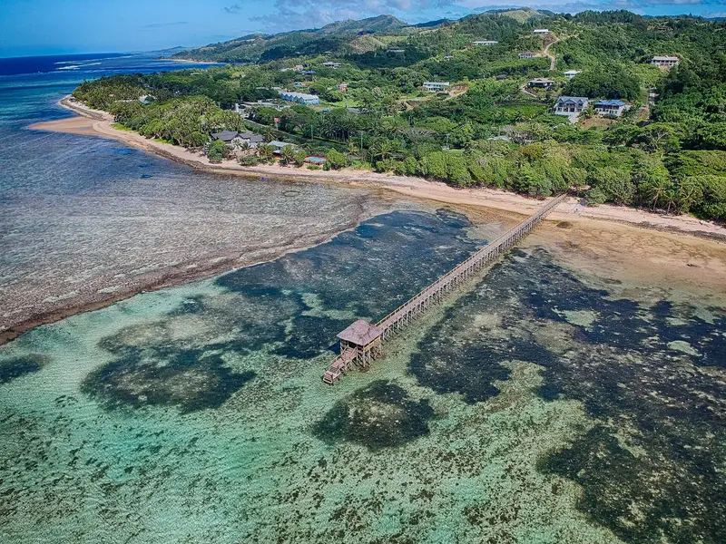
    Pacific Harbour on Viti Levu's south coast, twelve kilometers west of Navua, is considered Fiji's adventure center. From here, shark dives in the Shark Reef Marine Reserve, rafting and kayaking tours on the Navua River, and boat trips to Beqa Island depart.

    Discover
    Suva

    Photo by Donovan Kelly on Pexels

    Place 2 of 4

    Suva

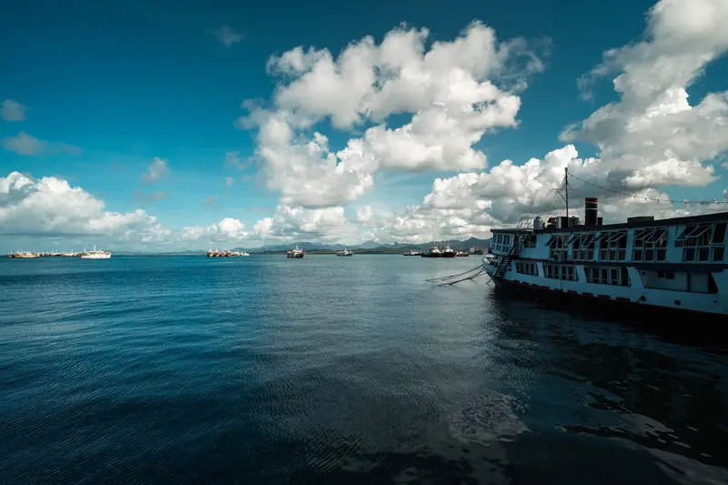
    Suva is the capital and largest city of Fiji. It lies on a hilly peninsula on the southeast coast of Viti Levu, between Laucala Bay and Suva Harbour.

    Discover
    Coral Coast (Coral Coast)

    Maksym Kozlenko / Wikimedia Commons / CC BY-SA 4.0, mod.

    Place 3 of 4

    Coral Coast (Coral Coast)

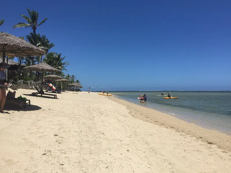
    The Coral Coast stretches along the south coast of Viti Levu from Natadola Beach in the west to Pacific Harbour in the east. Its main town is Sigatoka, located at the mouth of the river of the same name, approximately 61 kilometers from Nadi.

    Discover
    Nadi

    Dead.rabbit / Wikimedia Commons / CC BY-SA 4.0, mod.

    Place 4 of 4

    Nadi

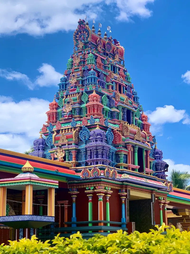
    Nadi, in western Viti Levu, is the first stop for most travelers in Fiji: About nine kilometers from the center lies Nadi International Airport, the country's main airport.

    Discover

    Sights in Viti Levu

    Discover the most important sights and attractions

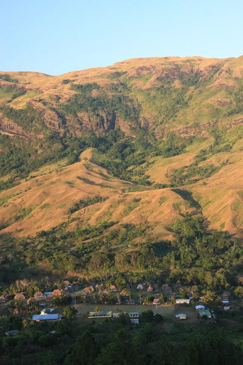
    Navala

    “Navala Village - Nausori Highlands - Fiji” by Mark Heard / Wikimedia Commons / CC BY 2.0, mod.

    Navala

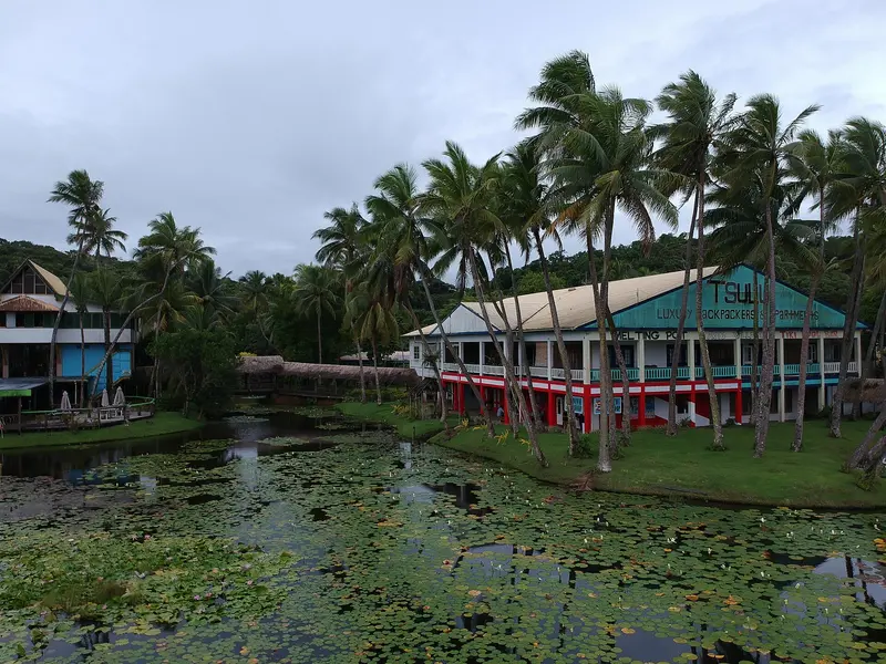
    The village in the highlands behind Ba consists of dozens of traditional Bure: open houses on stone bases with walls of woven bamboo or reeds and high thatched roofs. From Ba, you drive about an hour on a gravel road. The village welcomes visitors with a Kava ceremony; the easiest way to get there is with an organised tour, photos only upon request. Lonely Planet also recommends Navala for an overnight stay in the village.
    Open in Google Maps
    Natural Feature

    Tomanivi (Mount Victoria)

    At 1,324 meters, Tomanivi in the central highlands of Viti Levu is the highest mountain in Fiji. Lonely Planet describes an approximately six-hour hike to the summit, which can be organized from the north coast near Volivoli; paths are often unmarked, a local guide is recommended.
    Open in Google Maps

    Cultures of the Main Isle

    iTaukei and Indo-FijiansViti Levu is home to the majority of Fiji's population. In Nadi, the large Hindu temple, curry houses, and the market shape daily life; in Suva, you'll find colonial buildings, churches, and the Fiji Museum. In the highlands behind Ba lies the village of Navala with its thatched Bure, recommended by Lonely Planet for a stay in a traditional village.Village EtiquetteWhen visiting villages, cover your shoulders and knees, ideally with a sulu, remove your hat and sunglasses, and take off your shoes before entering any house. As a Sevusevu, bring kava root or kava powder for the village chief, available in most markets. Most village tours do not take place on Sundays.

    On the Road on Viti Levu

    Queens Road and Kings RoadA ring road circles the entire island: The Queens Road connects Nadi via Sigatoka and Pacific Harbour to Suva, while the Kings Road runs in the north via Ba and Tavua. Express buses from Sunbeam and Pacific Transport take around three and a half to a good four hours for the Nadi to Suva route.By CarTraffic drives on the left, and outside built-up areas, the speed limit is 80 km/h. The Federal Foreign Office describes the main roads as asphalted but narrow, and advises against intercity travel after nightfall. You will need an international driving permit along with your German one.

    Round trips through this region

    Fiji in 14 Days: Islands, Coral Coast and Taveuni

    Fiji in 14 Days: Islands, Coral Coast and Taveuni

    The tour connects the islands west of Nadi with Viti Levu's south coast and Taveuni, the Garden Isle. After an arrival day in Nadi, you'll travel by boat to the Yasawas and back via the Mamanucas, then by bus along the Queens Road to the Coral Coast, Pacific Harbour and the capital Suva. Lastly, fly to Taveuni, hike Bouma National Heritage Park, and dive or snorkel in the Somosomo Strait.

    14 Days
    7 stops

    Dead.rabbit·CC BY-SA 4.0

    Nearby

    Mamanuca Islands

    Mamanuca Islands

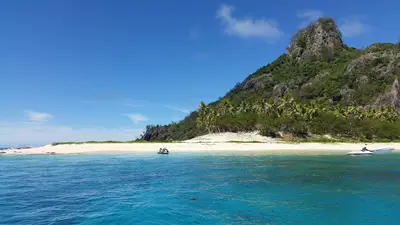
    The Mamanuca Islands lie west of Nadi off the coast of Viti Levu, a group of about 20 small islands, some almost vanishing at high tide. Most are reachable in about an hour by boat from Port Denarau, making day trips worthwhile.Larger islands include Malolo, Mana, and Matamanoa. The uninhabited island of Monuriki served as the filming location for the film 'Cast Away' starring Tom Hanks; since 2016, the US show 'Survivor' has also been filmed here. Surfers come for the reef waves at Namotu and Tavarua, and snorkelers for the clear lagoons.

    KhufuOsiris·CC BY-SA 4.0

    Yasawa Islands

    Yasawa Islands

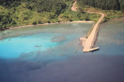
    The Yasawa Islands stretch as a chain of about 20 volcanic islands for approximately 80 kilometers to the north, northwest of Viti Levu. The larger islands include Waya, Naviti, Yaqeta, Matacawalevu, Nacula, and Yasawa. Until 1987, land-based tourism here was restricted; the first resorts only emerged afterwards.The Yasawa Flyer connects the islands daily with Port Denarau. Among the most famous attractions are the Sawa-i-Lau limestone caves, the Blue Lagoon near Nanuya Lailai, the manta rays in the channel near Drawaqa, and homestays on Waya and Wayasewa.

    Rickard Törnblad·CC BY-SA 4.0

    Kadavu

    Kadavu

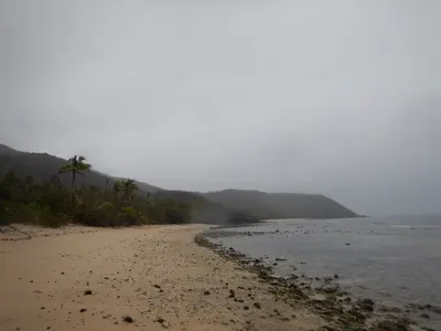
    Kadavu, south of Viti Levu, is Fiji's fourth-largest island at approximately 411 square kilometres and the hub of a small archipelago including Ono, Dravuni, and Galoa. Encircling the island's south and east is the Great Astrolabe Reef, one of the country's most important diving areas.Kadavu is home to four endemic bird species, including the Kadavu Honeyeater and the Kadavu Fantail; the other two are known in English as the Velvet Dove and the Crimson Shining-Parrot. Vunisea is the main town, home to a small airfield; many accommodations are only reachable from there by boat.

    Stemoc·CC BY-SA 4.0

    Taveuni

    Taveuni, Fiji's third-largest island at 434 square kilometers, is known as the Garden Isle. A volcanic ridge, featuring Uluigalau (1,241 meters) and Des Voeux Peak (1,195 meters), traverses the island, and within a crater at around 800 meters lies Lake Tagimaucia, home to the rare Tagimaucia flower. The 180th meridian runs through Taveuni.Approximately one third of the island is part of the Bouma National Heritage Park, featuring waterfalls and the Lavena Coastal Walk. More than 100 bird species live on the island. In the Somosomo Strait, between Taveuni and Vanua Levu, lies the Rainbow Reef, one of the world's most renowned soft coral diving areas.
    Cape Reinga

    Cape Reinga

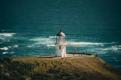
    Cape Reinga, known in Māori as Te Rerenga Wairua, is located at the northwestern tip of the North Island. According to Māori tradition, this is where the spirits of the deceased depart the land. From the lighthouse, you can see the Tasman Sea and the Pacific Ocean meet.

    Pexels

    Your next steps

    Viti Levu is in Fiji. Ways to carry on from here.

    • More in Fiji

      Highlights, areas, routes and the best time to travel for all of Fiji.

      Fiji travel guide
    • Round trips with Viti Levu

      One route passes through Viti Levu, with stops, nights and a map.

      See the round trip
    • Plan a trip with Viti Levu

      The Guide asks about season, length and who is coming, and suggests a trip with Viti Levu.

      Plan the trip

    Sources & method

    • Photos: Wikimedia Commons. Each photo carries its credit.
    • Place data such as addresses and ratings comes from Google Maps.
    • The content is based on web research from public, traceable sources. How the content is made · The role of AI