Fernweh: Home
    ExploreTravel GuidesPlan a tripMy tripLast visited
    de|en
    All Places & RegionsAll highlightsAbout FernwehFAQPrivacy PolicyImprint
    ExploreTravel GuidesPlan a tripMy tripLast visited
    Tambopata National Reserve
    Namiac / Wikimedia Commons / CC BY-SA 3.0

    Peru

    Tambopata National Reserve

    Point of Interest

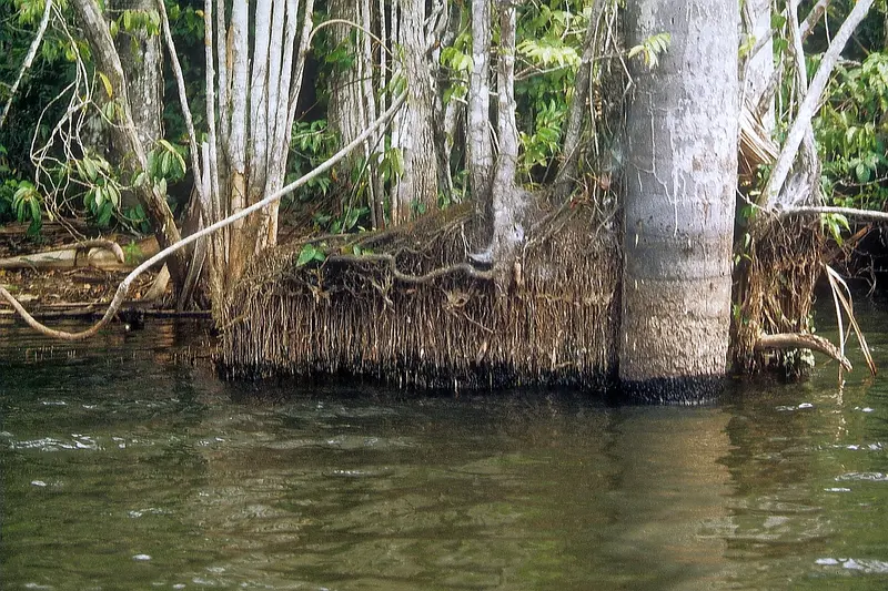
    The Tambopata National Reserve protects Amazon rainforest south of Puerto Maldonado and is the most easily accessible rainforest area in Southern Peru.

    by Felix Gillen

    1. Home
    2. Destinations
    3. Peru
    4. Amazon Region (Tambopata)
    5. Tambopata National Reserve
    The Tambopata National Reserve protects Amazon rainforest south of Puerto Maldonado and is the most easily accessible rainforest area in Southern Peru. Accommodations are lodges on the Tambopata and Madre de Dios rivers, which organize guided excursions, usually as multi-day packages.Lago Sandoval: an oxbow lake about 15 kilometers from Puerto Maldonado, which you explore by rowboat after a boat trip and a walk. Birds, monkeys, and caimans are often spotted en route.Clay Licks (Collpas): On riverbanks, parrots and macaws gather early in the morning to eat mineral-rich clay. The Collpa Chuncho is accessible by an early boat trip.An entrance fee is required for the reserve, which is often not included in the tour price.

    Sights in Tambopata National Reserve

    Discover the most important sights and attractions

    Lago Sandoval

    1Lago Sandoval

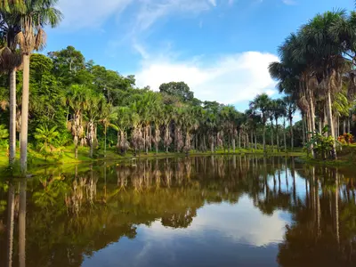
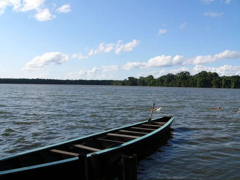
    The tranquil oxbow lake is lined with palm trees and rainforest and home to a family of giant otters. From the Río Madre de Dios, walk a short way through the forest and then paddle across the lake in a canoe. Here you often see caimans, hoatzins and monkeys. It's best to come early in the morning, when the animals are most active.
    Open in Google Maps

    Restaurants in Tambopata National Reserve

    Exploring locally

    Getting ThereThe starting point is Puerto Maldonado. The lodges pick you up at the airport and take you by car and boat via the Río Tambopata or Río Madre de Dios into the forest.In the ReserveYou'll travel on foot along paths, by canoe and by motorboat, always with a lodge guide. To Lago Sandoval, you go first by boat and then a short walk through the forest.

    Accommodations in Tambopata National Reserve

    Find perfect stay in Tambopata National Reserve

    Booking.com* (Affiliate link)
    Search Hotels
    Agoda* (Affiliate link)
    Search Hotels
    Airbnb
    Vacation Rentals

    * Affiliate link: if you book through it, we earn a small commission. The price stays the same for you.

    Nearby

    Amazon Region (Tambopata)

    Amazon Region (Tambopata)

    The Amazon lowlands begin in the Departamento Madre de Dios in southeastern Peru. The city of Puerto Maldonado is accessible by short flights from Lima and Cusco and serves as a starting point for stays in lodges within and around the Tambopata National Reserve. There, you can observe parrots and macaws at clay licks, monkeys, caimans, and numerous bird species. Before your trip, inform yourself at your foreign ministry about health risks in the lowlands and recommended vaccinations.
    Puerto Maldonado

    Puerto Maldonado

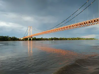
    Puerto Maldonado is the capital of the Madre de Dios region and is located on the Río Madre de Dios in the Amazon lowlands. For most travelers, the city primarily serves as an arrival point: from the airport, transfers and boats continue to lodges along the rivers. From the Plaza de Armas, you can see the Río Madre de Dios and the Billinghurst Bridge.Flights are available from Lima and Cusco.The German Foreign Office advises against night bus journeys, specifically citing the Puerto Maldonado–Cusco route where intercity buses have been attacked.

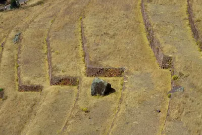
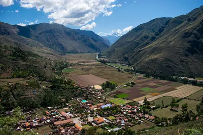
    The Sacred Valley follows the Río Urubamba northwest of Cusco and was an important agricultural region for the Inca. The town of Pisac is located about 30 kilometers from Cusco, known for its handicraft market, especially on Sundays, and the terraces and temples of the Inca site on the mountain above the town.On the high plateau above the valley are the circular terraces of Moray, which the Inca presumably used for agricultural experiments, and the salt pans of Maras, where salt still evaporates from a spring today. At the western end of the valley lies Ollantaytambo, with the train station to Machu Picchu.Pisac, Ollantaytambo, Moray, and Chinchero are included in Cusco's Boleto Turístico.The valley lies lower than Cusco and is well-suited for the first days of acclimatization.
    Cusco

    Cusco

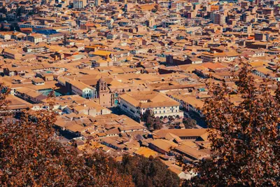
    Cusco was the capital of the Inca Empire and is now the starting point for almost every trip to Machu Picchu. Under Pachacútec, a planned city with religious and administrative areas emerged. The Spanish retained the layout and built their churches and palaces on the Inca walls. Since 1983, the city has been a UNESCO World Heritage site.The heart of the city is the Plaza de Armas with its Cathedral and arcades. The Santo Domingo Monastery stands on Qorikancha, the Inca Sun Temple, whose walls are still visible. On Calle Hatun Rumiyoc is the famous twelve-angled stone, above it the artisan quarter San Blas. The Mercado San Pedro is the city's main market. Above the city lies the Inca site of Sacsayhuamán with its mighty stone walls, the venue for Inti Raymi on June 24.Cusco is located at around 3,500 meters: Take it easy for the first few days.For Sacsayhuamán and the Inca sites in the Sacred Valley, you'll need the Boleto Turístico, available as a ten-day general ticket or as partial tickets. Qorikancha and the Cathedral are not included.
    Cusco and Sacred Valley

    Cusco and Sacred Valley

    The region around Cusco is the heartland of the Incas and Peru's most important travel destination. The former Inca capital, Cusco, is situated at around 3,500 meters, its center has been a UNESCO World Heritage site since 1983. Northwest lies the Sacred Valley of the Urubamba with the ruins and markets of Pisac, the Inca town of Ollantaytambo, and the terraces of Moray and Maras. At the end of the valley is Machu Picchu, accessible by train to Aguas Calientes.

    Sources & method

    • Photos: Wikimedia Commons. Each photo carries its credit.
    • Place data such as addresses and ratings comes from Google Maps.
    • The content is based on web research from public, traceable sources. How the content is made · The role of AI