Fernweh: Home
    ExploreTravel GuidesPlan a tripMy tripLast visited
    de|en
    All Places & RegionsAll highlightsAbout FernwehFAQPrivacy PolicyImprint
    ExploreTravel GuidesPlan a tripMy tripLast visited
    • Neighborhoods & highlights
    • Walking tours
    • Eat & drink
    • Food culture
    • Culture
    • Getting around
    • Accommodation
    • Plan trip
    • Nearby
    Loreto

    Mexico

    Loreto

    CityCulture

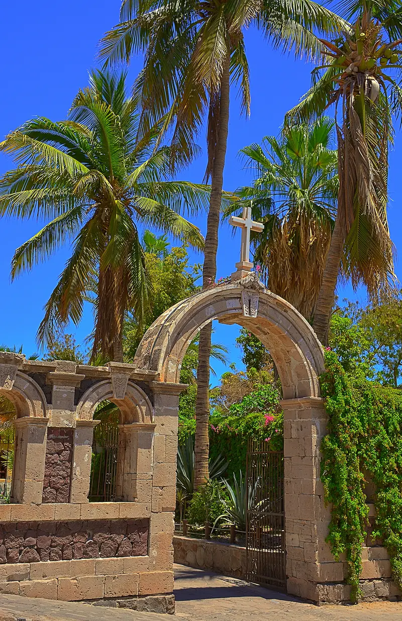
    Located on the Gulf Coast of Baja California Sur, Loreto was founded in 1697 as the peninsula's first permanent Spanish settlement. The Mission Church and Mission Museum form the heart of its small downtown.

    by Felix Gillen

    1. Home
    2. Destinations
    3. Mexico
    4. Baja California Sur
    5. Loreto
    Located on the Gulf Coast of Baja California Sur, Loreto was founded in 1697 as the peninsula's first permanent Spanish settlement. The Mission Church and Mission Museum form the heart of its small downtown. Off the coast is the Bahía de Loreto National Park, home to five larger islands.

    Sights in Loreto

    Discover the most important sights and attractions

    1Playa La Negrita

    Small town beach at the northern end of Loreto's Malecón. From here, gaze across the bay to Isla del Carmen.
    Open in Google Maps
    Museum of the Jesuit Missions

    2Museum of the Jesuit Missions

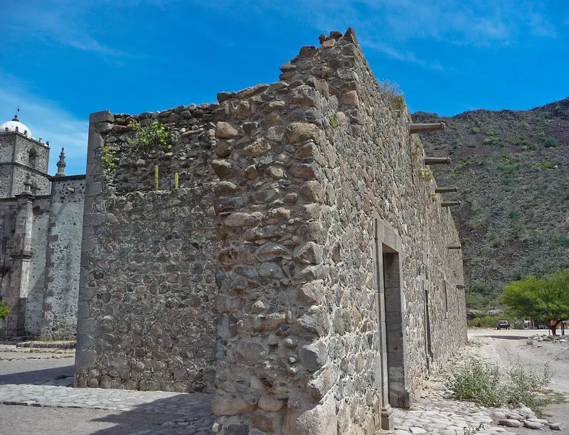
    The museum next to Mission Nuestra Señora de Loreto Conchó, founded in 1697 as the peninsula's first permanent mission. It displays religious art, weapons, and tools from the 17th and 18th centuries and explains the history of the missions in Baja California.
    Open in Google Maps
    Mission Saint Francis Xavier of Viggé-Biaundó
    Church

    3Mission Saint Francis Xavier of Viggé-Biaundó

    The Mission in the village of San Javier is located approximately 35 km southwest of Loreto in the Sierra de la Giganta. It was founded in 1699, the present stone church dates from 1744 and features an 18th-century gilded Baroque altar. The road from Loreto is paved.
    Open in Google Maps

    City walks in Loreto

    Curated walking tours through the city's highlights, handpicked by experienced travel journalists.

    Loreto's Charm: A Journey Through Time by the Sea

    Discover the historic heart of Loreto, the first Spanish mission in Baja California. Stroll along picturesque lanes to the lively Malecón and enjoy the relaxed atmosphere of this coastal town on the Sea of Cortez. A walk full of history and sea views.

    ~2 Std.
    Open in Google Maps
    Stops (6)

    Essen & Trinken

    1

    La Casa de Don

    Restaurant in the center of Loreto, a few streets from the Mission.
    Show on Google Maps
    2

    Casa Madera

    Mexican restaurant on Avenida Miguel Hidalgo in the center of Loreto.
    Show on Google Maps
    3

    El Monchis

    Simple restaurant in the center of Loreto.
    Show on Google Maps
    4

    My Loreto

    Mexican restaurant and café on the Salvatierra pedestrian zone, a few steps from the Mission.
    Show on Google Maps
    5

    Orlando's Restaurante

    Mexican restaurant on Calle Juárez, Agua Dulce corner, in Loreto's northern downtown.
    Show on Google Maps

    Food and Drink

    Loreto's cuisine lives from the Gulf: fish, mussels, and shrimp come freshly caught to the table.

    Chocolate clam

    The large venus clam with a brown shell is Loreto's best-known specialty, often served grilled.

    Tacos de pescado

    Fried fish in corn tortillas with slaw and salsa.

    Ceviche

    Raw fish, marinated in lime juice, with tomato, onion, and cilantro.

    History and Culture

    The Mother of MissionsOn October 25, 1697, the Jesuit Juan María de Salvatierra founded the Mission Nuestra Señora de Loreto Conchó. From here, the chain of missions on the peninsula originated, and Loreto remained the capital of the Californias until 1777. The Museo de las Misiones Jesuíticas, located next to the church, displays religious art, weapons, and tools from the 17th and 18th centuries.ExcursionsMisión San Javier: An 18th-century Baroque stone church, approximately 35 km southwest via an asphalt mountain road.Isla Coronados: Boat trip to a sandy beach and snorkeling spots in the National Park.Whale Watching: In winter, blue whales and other species are found in the Gulf off Loreto; tours depart from the marina.

    Exploring Locally

    Explore the city center, featuring the Mission, pedestrian zone, and Malecón, on foot. Taxis are available at the center and the airport, located south of the city. Access the National Park islands solely by boat; book tours at the Marina or via hotels.A rental car is convenient for Mission San Javier and beaches south of the city. Long-distance buses on Carretera Federal 1 connect Loreto with La Paz in the south and Santa Rosalía in the north.

    Accommodations in Loreto

    Find perfect stay in Loreto

    Booking.com* (Affiliate link)
    Search Hotels
    Agoda* (Affiliate link)
    Search Hotels
    Airbnb
    Vacation Rentals

    * Affiliate link: if you book through it, we earn a small commission. The price stays the same for you.

    Plan your trip to Loreto

    Save places, build a route and plan your city trip, all in one place.

    1. 1
      Sunrise over alpine peaks and a sea of clouds
      1234

      Round trip

      12 days · 4 stops

      Saved

      Pick a route

      Pick a ready-made one or save places and plan your own.

      Open bookmarks
    2. 2

      Trip to Loreto

      Live
      • 1Playa La Negrita3 days
      • 2Museum of the Jesuit Missions4 days
      • 3Mission Saint Francis Xavier of Viggé-Biaundó5 days
      Budget

      Plan your trip

      The planner sorts stops, days and budget. Plan together in real time.

      Start trip planning
    3. 3
      9:41 No signal
      Loreto
      Available offline

      Use it on the road

      Download the guide to your phone and use it on site, even offline.

    Nearby

    Baja California Sur

    Baja California Sur

    Baja California Sur encompasses the southern half of the Baja California peninsula, a desert land between the Pacific and the Gulf of California. You go for the resorts of Los Cabos on the southern tip, for boat trips from La Paz to Espíritu Santo Island with the sea lion colony of Los Islotes, and for the artist town Todos Santos near the Pacific coast. Further north lies the mission town Loreto on the Gulf. The islands and protected areas in the Gulf of California have been a UNESCO World Heritage site since 2005.
    La Paz

    La Paz

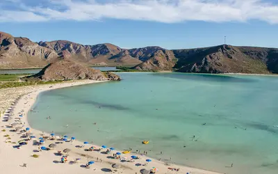
    La Paz is the capital of Baja California Sur, nestled on a protected bay in the Gulf of California. You come here for boat tours to Isla Espíritu Santo, a UNESCO World Heritage site, for Balandra and El Tecolote bays, and from October to April for whale sharks in the bay. The city center, with its cathedral and approx. 5 km long Malecón, is easily explored on foot.
    Todos Santos

    Todos Santos

    Todos Santos is a small town on the Pacific coast of Baja California Sur, precisely on the Tropic of Cancer. Since 2006, it has held the title of Pueblo Mágico. The center around the mission church features many galleries, cafes, and restaurants, while long surf beaches lie on the outskirts.
    San José del Cabo

    San José del Cabo

    San José del Cabo is the administrative seat of the municipality of Los Cabos on the southern tip of the Baja California peninsula, located approximately 32 km northeast of Cabo San Lucas. You come for the quiet historic center around Plaza Mijares, with its mission church, low colonial buildings, and gallery district, where the Art Walk takes place on Thursday evenings from November to June. On the outskirts of town is the Estero San José, a lagoon at the mouth of the Río San José.
    Cabo San Lucas

    Cabo San Lucas

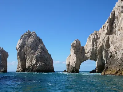
    Cabo San Lucas is located at the southern tip of the Baja California peninsula, where the Gulf of California meets the Pacific Ocean. Its landmark is the rock arch El Arco, which you can reach by boat from the marina. The town is geared towards tourism, with hotels along El Médano beach and many bars in the center.

    Sources & method

    • Photos: Wikimedia Commons, Pexels, Google Maps. Each photo carries its credit.
    • Place data such as addresses and ratings comes from Google Maps.
    • The content is based on web research from public, traceable sources. How the content is made · The role of AI