Fernweh: Home
    ExploreTravel GuidesPlan a tripMy tripLast visited
    de|en
    All Places & RegionsAll highlightsAbout FernwehFAQPrivacy PolicyImprint
    ExploreTravel GuidesPlan a tripMy tripLast visited
    Ponsonby

    New Zealand

    Ponsonby

    City DistrictCulture

    Ponsonby Road is one of Auckland's best-known entertainment streets: colonial-era wooden houses, cafés, boutiques, restaurants, and bars along a good kilometre. To its west, Grey Lynn connects with Richmond Road.

    by Felix Gillen

    1. Home
    2. Destinations
    3. New Zealand
    4. Auckland (city)
    5. Ponsonby
    Ponsonby Road is one of Auckland's best-known entertainment streets: colonial-era wooden houses, cafés, boutiques, restaurants, and bars along a good kilometre. To its west, Grey Lynn connects with Richmond Road.

    Sehenswürdigkeiten

    Discover the most important sights and attractions

    Auckland Unitarian Church

    1Auckland Unitarian Church

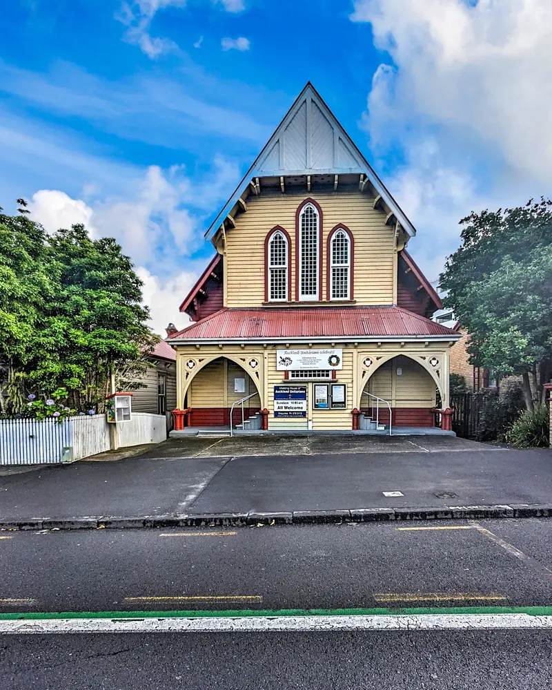
    Church of the Unitarian Community on Ponsonby Road. Occasionally, concerts and events are held here.
    Open in Google Maps
    Victoria Park
    Park

    2Victoria Park

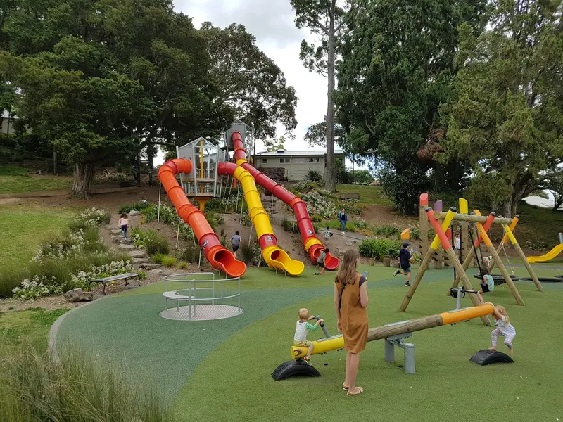
    Large city park in Freemans Bay with sports fields, a skate park and playground, bordering the city center.
    Open in Google Maps
    Western Park
    Park

    3Western Park

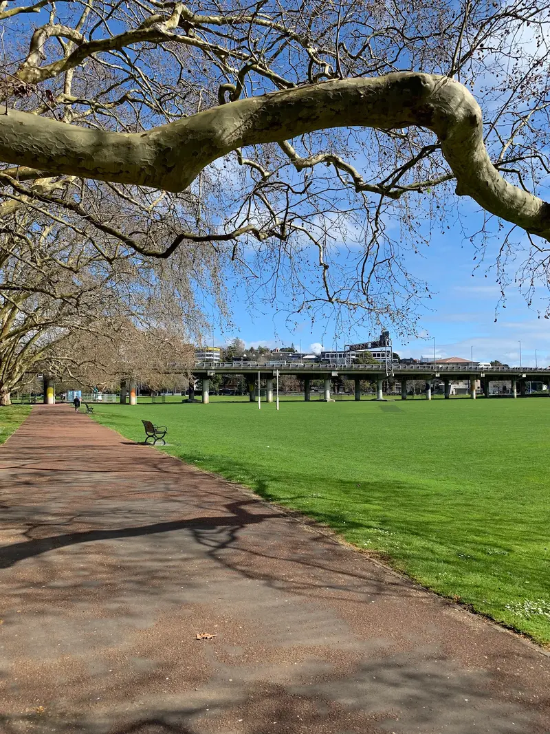
    Hilly park with old trees between Ponsonby Road and Freemans Bay, a quiet path between district and center.
    Open in Google Maps

    Essen & Trinken

    1

    Malt Public House

    Neighbourhood pub on Richmond Road in Grey Lynn, with pub food and craft beer.
    Show on Google Maps
    2

    Ripe Deli in Grey Lynn

    Deli and café on Richmond Road with salads, sandwiches, and cakes, good for a quick lunch.
    Show on Google Maps
    3

    Longroom & Longshot

    Bar and bistro on Ponsonby Road with a large courtyard, daytime food, evening cocktails.
    Show on Google Maps
    4

    NISHIKI FREEMANS BAY

    Japanese restaurant in Freemans Bay with Izakaya dishes for sharing.
    Show on Google Maps
    5

    Bambina

    Café on Ponsonby Road with breakfast, brunch, and sidewalk seating.
    Show on Google Maps
    6

    Satya Ponsonby

    South Indian Restaurant on Great North Road bordering Ponsonby, with Dosas and Curries.
    Show on Google Maps

    Exploring locally

    The Link-Bus runs from the center via Ponsonby Road. From Karangahape Road, it's about a ten-minute walk.

    Accommodations in Ponsonby

    Find perfect stay in Ponsonby

    Booking.com* (Affiliate link)
    Search Hotels
    Agoda* (Affiliate link)
    Search Hotels
    Airbnb
    Vacation Rentals

    * Affiliate link: if you book through it, we earn a small commission. The price stays the same for you.
    Nearby

    Auckland (city)

    Auckland (city)

    New Zealand's largest city lies on a narrow isthmus between two harbors, the Waitematā in the north and the Manukau in the south. Green volcanic cones rise between skyscrapers, suburbs, and bays. In the center, you'll find museums, the harbor with ferry terminals, and vibrant districts like Ponsonby and Britomart.
    Auckland

    Auckland

    The Auckland region includes the country's largest city, the islands of the Hauraki Gulf, the west coast with black sand beaches, and the Waitakere Ranges. Most travellers land here and start their tour in Auckland.
    Viaduct Harbour

    Viaduct Harbour

    The former cargo port is now a marina with restaurants and bars on the quays. Via the Wynyard Crossing, continue to the Wynyard Quarter with Silo Park and waterside playgrounds.
    Britomart

    Britomart

    The district around Waitematā Station features restored warehouses and commercial buildings, interspersed with pedestrian lanes offering restaurants, bars, and fashion. Directly opposite are the Ferry Building and Commercial Bay.
    Mount Eden (Maungawhau)

    Mount Eden (Maungawhau)

    The district lies at the foot of Maungawhau volcano, south of the centre. Around Mount Eden Village are cafés and small shops; nearby lie Eden Park Stadium in Kingsland and the Newmarket shopping district.

    Sources & method

    • Photos: Unsplash, Google Maps. Each photo carries its credit.
    • Place data such as addresses and ratings comes from Google Maps.
    • The content is based on web research from public, traceable sources. How the content is made · The role of AI