New Zealand
Auckland
Region
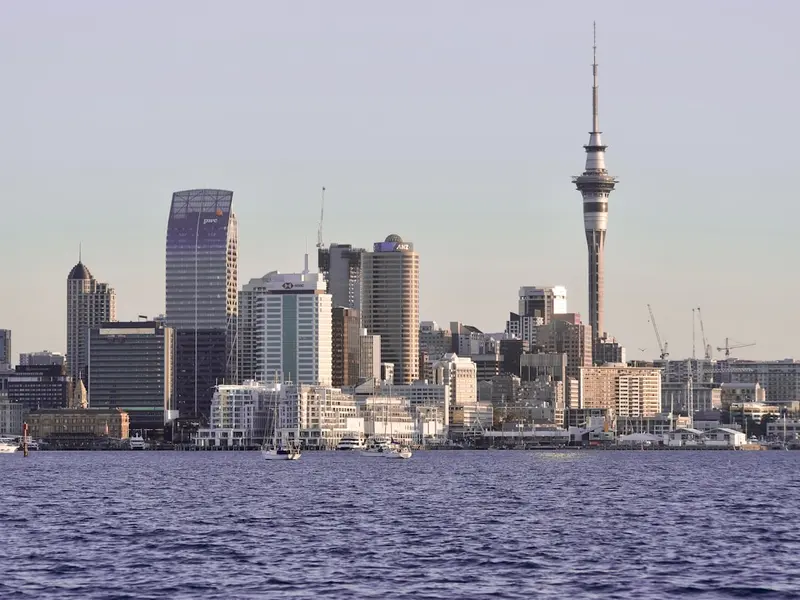
The Auckland region includes the country's largest city, the islands of the Hauraki Gulf, the west coast with black sand beaches, and the Waitakere Ranges. Most travellers land here and start their tour in Auckland.
by Felix Gillen
The Auckland region includes the country's largest city, the islands of the Hauraki Gulf, the west coast with black sand beaches, and the Waitakere Ranges. Most travellers land here and start their tour in Auckland.
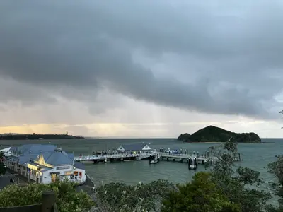
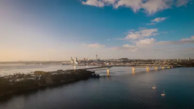
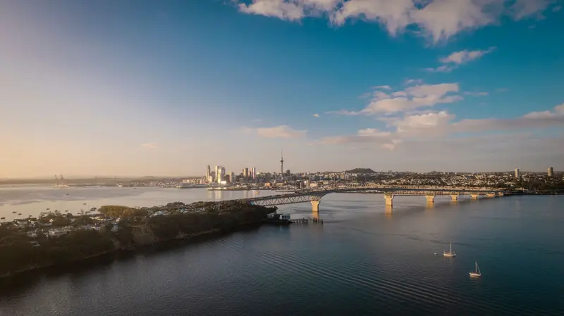
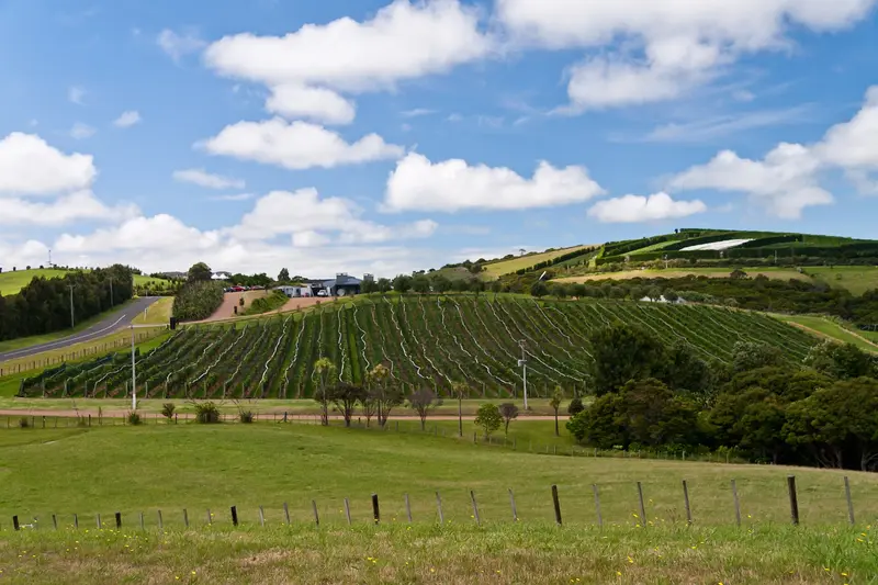
Auckland lies on a narrow isthmus between Waitematā Harbour in the east and Manukau Harbour in the west. The Auckland Volcanic Field comprises around 53 volcanoes, the youngest being Rangitoto Island. West of the city, the Waitakere Ranges fall away to beaches like Piha and Karekare. By ferry, you can reach Waiheke Island with vineyards and beaches in around 40 minutes. For the West Coast and the area north of the city, you need a car.
Culture
The isthmus was densely populated long before the arrival of Europeans, with the volcanic cones serving as fortified Pā. After the Treaty of Waitangi, Auckland became the capital in 1841; in 1865, this status passed to Wellington.Today, Māori, Pacific, and Asian communities shape the region more strongly than any other in the country. The Auckland War Memorial Museum houses the largest collections on Māori and Pacific culture.
Exploring locally
In the city, buses, suburban trains, and ferries run from Auckland Transport. Islands like Waiheke and Rangitoto are reached by ferry from the Ferry Building. A rental car is most practical for the West Coast beaches and trips into the surrounding area.