Fernweh: Home
    ExploreTravel GuidesPlan a tripMy tripLast visited
    de|en
    All Places & RegionsAll highlightsAbout FernwehFAQPrivacy PolicyImprint
    ExploreTravel GuidesPlan a tripMy tripLast visited
    Lake Tekapo

    New Zealand

    Lake Tekapo

    Village

    Lake Tekapo, in Māori Takapō, is a small town on the southern shore of the eponymous lake in the Mackenzie Basin. Fine rock flour from the glaciers colors the water milky turquoise, with the Southern Alps standing in the background.

    by Felix Gillen

    1. Home
    2. Destinations
    3. New Zealand
    4. Canterbury
    5. Lake Tekapo
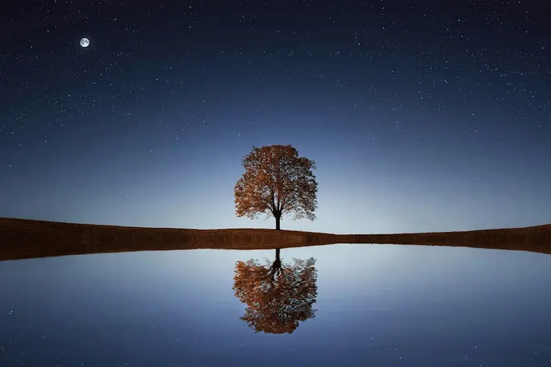
    Lake Tekapo, in Māori Takapō, is a small town on the southern shore of the eponymous lake in the Mackenzie Basin. Fine rock flour from the glaciers colors the water milky turquoise, with the Southern Alps standing in the background.By day, the view from Mount John and the stone church on the shore beckon; by night, the starry sky: The region belongs to the Aoraki Mackenzie International Dark Sky Reserve. In early summer, lupins bloom along the shores, an introduced plant that attracts many photographers.

    Sights

    Discover the most important sights and attractions

    Church of the Good Shepherd

    1Church of the Good Shepherd

    Small stone church from 1935 on the lakeshore, built to commemorate the first settlers of Mackenzie Country. Through the altar window, you gaze directly upon the lake and mountains. Right next to it stands a bronze statue of a sheepdog.
    Open in Google Maps
    Mount John Observatory

    2Mount John Observatory

    University of Canterbury Observatory on Mount John summit. By day, reach the summit via a toll road or on foot from the lake, enjoying expansive views over Lake Tekapo and the Mackenzie Basin. At night, guided stargazing tours are offered.
    Open in Google Maps
    Tekapo Springs

    3Tekapo Springs

    Warm outdoor pools at Mount John's foot with lake views. An ice rink in winter, and stargazing tours also available evenings.
    Open in Google Maps
    Dark Sky Project

    4Dark Sky Project

    Astronomy visitor center in the town center with exhibition and café. From here, stargazing tours depart for Mount John.
    Open in Google Maps

    City walks in Lake Tekapo

    Curated walking tours through the city's highlights, handpicked by experienced travel journalists.

    Tekapo's Magic: A Lake and Village Walk

    Experience the breathtaking beauty of Lake Tekapo on this relaxed two-hour walk. From the iconic Church of the Good Shepherd to the lively village center, discover the highlights of this picturesque alpine region of New Zealand. Be enchanted by turquoise water, majestic mountains and the peaceful atmosphere.

    ~2 Std.
    Open in Google Maps
    Stops (6)

    Restaurants & Cafés

    1

    Kohan Restaurant

    Japanese restaurant in the town center with lake views, known for regional salmon as Sashimi and Sushi.
    Show on Google Maps
    2

    Astro Cafe

    Café on Mount John summit next to the observatory, with coffee, cake, snacks, and panoramic views over the Mackenzie Basin.
    Show on Google Maps
    3

    Blue Lake Eatery & Bar

    Casual restaurant and bar downtown, offering burgers, pizza, and main courses.
    Show on Google Maps
    4

    Rakinui Restaurant & Bar

    Restaurant with a bar on State Highway 8 on the western edge of town.
    Show on Google Maps

    Eating & Drinking

    In Lake Tekapo, you'll find a manageable but solid selection of restaurants for every taste. The Kohan Restaurant offers authentic Japanese cuisine, while the Astro Cafe excels with its unique location and views, ideal for enjoying local specialties.

    In town

    Most restaurants and cafés are found in the small center along the highway. Options range from Japanese cuisine to pub fare, and a dinner reservation is advisable during peak season.

    Alpine Char

    Salmon are farmed in the canals of the Mackenzie Basin's hydropower system. It features on menus in many regional restaurants, and you can also buy it directly from some farms.

    Culture and History

    The Mackenzie Country was developed for sheep farming from the mid-19th century. The 1935 Church of the Good Shepherd commemorates the first settlers, while a bronze statue nearby honors the sheepdogs, vital for work on the vast stations.Water and StarsSince the mid-20th century, the lake generates power, its water channeled into the Waitaki System's power plants. In 2012, the region became an International Dark Sky Reserve; strict outdoor lighting rules keep its skies dark.

    Arrival and On-Site

    Tekapo is on State Highway 8 between Christchurch and Queenstown, roughly a three-hour drive from both cities. Intercity buses stop in town. The town centre, lakefront, and church are accessible on foot; a toll road or hiking trail leads to Mount John. For side trips to Lake Pukaki or Mount Cook, you'll need a car.

    Accommodations in Lake Tekapo

    Find perfect stay in Lake Tekapo

    Booking.com* (Affiliate link)
    Search Hotels
    Agoda* (Affiliate link)
    Search Hotels
    Airbnb
    Vacation Rentals

    * Affiliate link: if you book through it, we earn a small commission. The price stays the same for you.

    Nearby

    Aoraki/Mount Cook National Park

    The Aoraki/Mount Cook National Park encompasses the highest peaks of the Southern Alps, notably Aoraki/Mount Cook at 3,724 meters. Approximately 40 percent of its area is covered by glaciers, including the Tasman Glacier, the country's longest. The park has existed since 1953 and is part of the UNESCO World Heritage Site Te Wāhipounamu.The starting point is the small Mount Cook Village at the end of State Highway 80. From here, short hikes like the Hooker Valley Track, mountaineering tours, and scenic flights depart. At night, the park is part of the Aoraki Mackenzie International Dark Sky Reserve.
    Gletscherregion (Franz Josef & Fox Glacier)

    Gletscherregion (Franz Josef & Fox Glacier)

    In Westland Tai Poutini National Park, two glaciers extend from the Southern Alps deep into the rainforest: Franz Josef and Fox Glacier. The two namesake villages are located about 25 kilometers apart on State Highway 6 and serve as the base for glacier hikes, helicopter flights, and valley walks.Both glaciers have retreated significantly in recent decades. Today, you can only access the ice with guided Heli-Hikes; the valley paths end at viewpoints at a distance from the glacier terminus.

    Wanaka

    Wanaka is located on the southern shore of Lake Wānaka, about an hour's drive north of Queenstown. It is quieter than its neighbour and a gateway to Mount Aspiring National Park, the Roys Peak track, and the ski fields of Cardrona and Treble Cone.
    Hokitika

    Hokitika

    Hokitika is a small town on the South Island's West Coast, founded during the 1860s gold rush. Today, it's known for Pounamu workshops, its driftwood beach, and as a gateway to the turquoise Hokitika Gorge.
    Central Otago

    Central Otago

    Central Otago is the dry highland in the South Island's interior, between Cromwell, Alexandra, and Clyde. Rugged schist hills, orchards, and vineyards shape the landscape, with gold rush traces dotting almost every valley.

    Sources & method

    • Photos: Unsplash, Pexels, Google Maps. Each photo carries its credit.
    • Place data such as addresses and ratings comes from Google Maps.
    • The content is based on web research from public, traceable sources. How the content is made · The role of AI