Fernweh: Home
    ExploreTravel GuidesPlan a tripMy tripLast visited
    de|en
    All Places & RegionsAll highlightsAbout FernwehFAQPrivacy PolicyImprint
    ExploreTravel GuidesPlan a tripMy tripLast visited
    Hokitika

    New Zealand

    Hokitika

    TownCulture

    Hokitika is a small town on the South Island's West Coast, founded during the 1860s gold rush. Today, it's known for Pounamu workshops, its driftwood beach, and as a gateway to the turquoise Hokitika Gorge.

    by Felix Gillen

    1. Home
    2. Destinations
    3. New Zealand
    4. West Coast
    5. Hokitika
    Hokitika is a small town on the South Island's West Coast, founded during the 1860s gold rush. Today, it's known for Pounamu workshops, its driftwood beach, and as a gateway to the turquoise Hokitika Gorge.

    Sehenswürdigkeiten

    Discover the most important sights and attractions

    Hokitika Cemetery Lookout

    1Hokitika Cemetery Lookout

    From the hill at the old cemetery above the town, the view stretches over Hokitika and the coast to the peaks of the Southern Alps, and in clear weather, even to Aoraki/Mount Cook.
    Open in Google Maps
    Hokitika Gorge
    Attraction

    2Hokitika Gorge

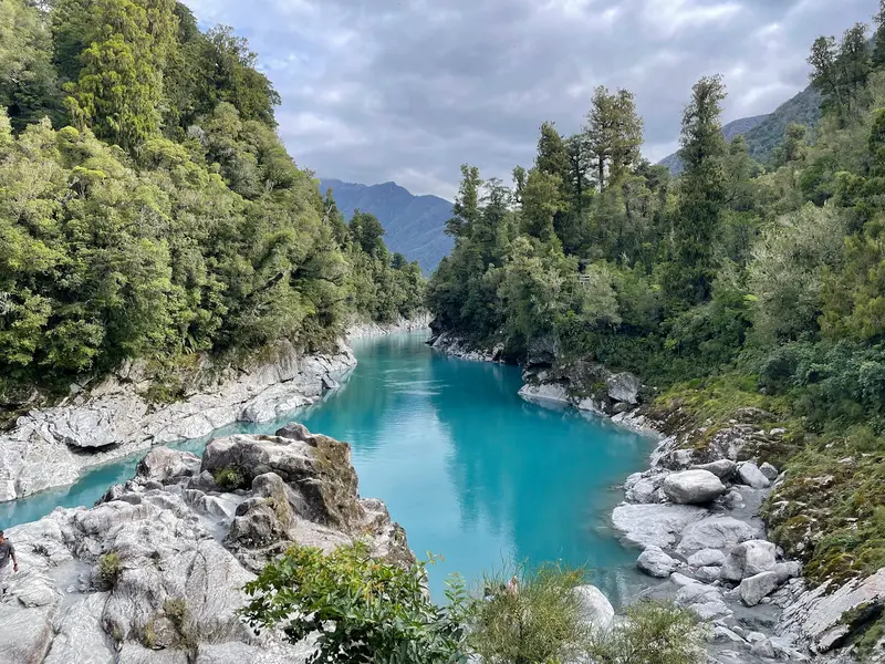
    Around 35 kilometers inland, the Hokitika River flows milky-turquoise through a granite gorge. An hour-long loop track leads over a swing bridge to viewing platforms. The color comes from glacial flour and is most intense in sunlight.
    Open in Google Maps
    Hokitika Beach
    Attraction

    3Hokitika Beach

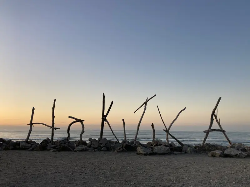
    On the grey shingle beach in front of the town centre is the HOKITIKA sign, formed from driftwood. In January, the Driftwood and Sand Festival takes place here; at sunset over the Tasman Sea, the beach is a popular meeting spot.
    Open in Google Maps
    West Coast Treetop Walk
    Attraction

    4West Coast Treetop Walk

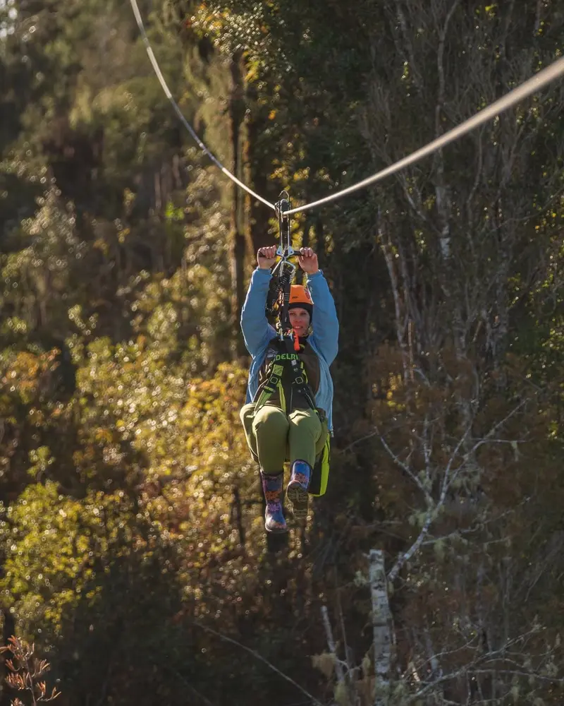
    A 20-meter-high steel walkway leads south of Hokitika through the canopies of ancient Rimu and Kamahi trees; a tower offers views to the Southern Alps. On site there's a café and a zipline.
    Open in Google Maps
    Glow Worm Dell
    Attraction

    5Glow Worm Dell

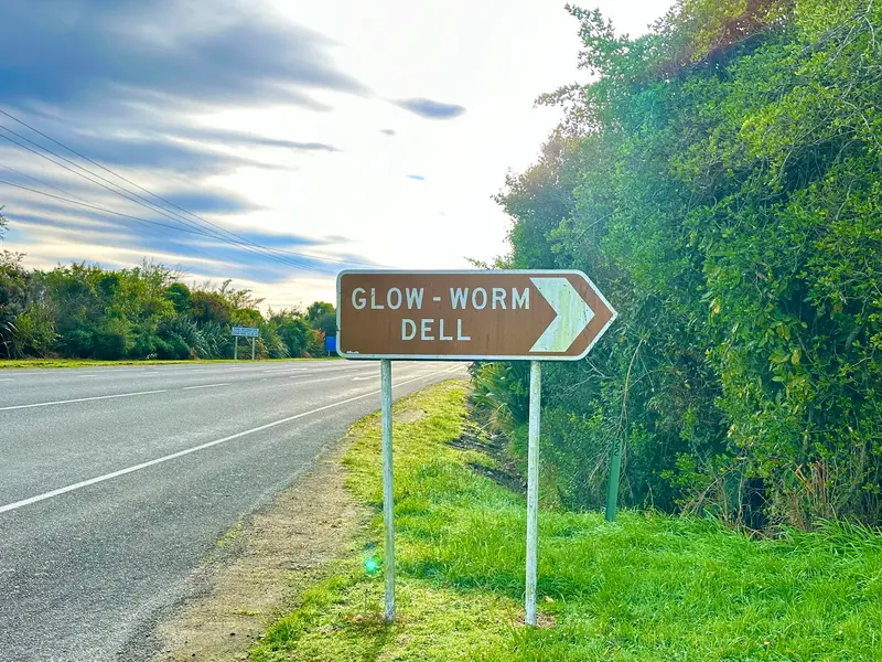
    Directly on State Highway 6, at the northern edge of town, a short path leads into a wooded hollow where fireflies glow after dark. Free access, bring a flashlight and turn it off on site.
    Open in Google Maps

    Essen & Trinken

    1

    The Hokitika Sandwich Company

    Restaurant in 83a Revell Street.
    Show on Google Maps
    2

    Alchemy & Storm, Hokitika Pies and Salads

    Bakery in ALCHEMY AND STORM SALAD BAR 69 Revell Street.
    Show on Google Maps
    3

    Korath Thai Cuisine

    Restaurant in 5 Weld Street.
    Show on Google Maps
    4

    Triple B Burgers

    Restaurant in 93 Revell Street.
    Show on Google Maps
    5

    Big Bites Hokitika

    Restaurant in 137 Revell Street.
    Show on Google Maps

    Gold and Pounamu

    Gold and PounamuWith the gold discovery of 1864, Hokitika grew within a few years to become one of New Zealand's largest towns, and its port at the river mouth was at times one of the country's busiest. Long before that, the Kāi Tahu collected Pounamu, New Zealand's jade stone, from the region's rivers, using it for tools, weapons, and jewellery.In workshops and galleries along Tancred and Revell Street, you can watch carvers at work. Only buy stone with proof of origin; some of the jade offered comes from overseas. The Wildfoods Festival takes place in March.

    Arrival and Orientation

    Arrival and OrientationExplore the town centre with its beach, clock tower, and galleries on foot. The small airport has connections to Christchurch; the TranzAlpine train terminates in Greymouth, 40 kilometres away. For Gorge, Lake Kaniere, and Treetop Walk, you'll need a car.

    Accommodations in Hokitika

    Find perfect stay in Hokitika

    Booking.com* (Affiliate link)
    Search Hotels
    Agoda* (Affiliate link)
    Search Hotels
    Airbnb
    Vacation Rentals

    * Affiliate link: if you book through it, we earn a small commission. The price stays the same for you.

    Nearby

    West Coast

    West Coast

    The West Coast stretches as a narrow strip for about 600 kilometers along the South Island, between the Tasman Sea and the Southern Alps. Rainforest, wild beaches, and rivers characterize the landscape; the towns are small and spread far apart.In the north await the limestone landscapes of Paparoa and Kahurangi, in the center the old gold mining towns of Greymouth and Hokitika, and in the south the Franz Josef and Fox Glaciers. Most travelers drive the entire coast.
    Greymouth

    Greymouth

    Greymouth, Māwhera in Māori, is at the mouth of the Grey River and the largest town on the West Coast. Gold and coal made it thrive in the 19th century; today it's mainly a service hub and the TranzAlpine's terminus from Christchurch.The centre is small and quick to explore. For a day, highlights include the brewery, a walk along the river, and trips into the surrounding area, to Shantytown or the Brunner Mine.
    Punakaiki

    Punakaiki

    Punakaiki is a small town on State Highway 6 between Greymouth and Westport, right on the edge of Paparoa National Park. It is known for the Pancake Rocks at Dolomite Point: limestone rocks that look like stacked pancakes. At high tide and strong surf, water shoots upwards through the blowholes.Behind the coast, limestone gorges with Nikau palms and rainforest begin. Plan at least half a day if you want to explore one of the river trails in addition to the rocks.
    Gletscherregion (Franz Josef & Fox Glacier)

    Gletscherregion (Franz Josef & Fox Glacier)

    In Westland Tai Poutini National Park, two glaciers extend from the Southern Alps deep into the rainforest: Franz Josef and Fox Glacier. The two namesake villages are located about 25 kilometers apart on State Highway 6 and serve as the base for glacier hikes, helicopter flights, and valley walks.Both glaciers have retreated significantly in recent decades. Today, you can only access the ice with guided Heli-Hikes; the valley paths end at viewpoints at a distance from the glacier terminus.

    Aoraki/Mount Cook National Park

    The Aoraki/Mount Cook National Park encompasses the highest peaks of the Southern Alps, notably Aoraki/Mount Cook at 3,724 meters. Approximately 40 percent of its area is covered by glaciers, including the Tasman Glacier, the country's longest. The park has existed since 1953 and is part of the UNESCO World Heritage Site Te Wāhipounamu.The starting point is the small Mount Cook Village at the end of State Highway 80. From here, short hikes like the Hooker Valley Track, mountaineering tours, and scenic flights depart. At night, the park is part of the Aoraki Mackenzie International Dark Sky Reserve.

    Sources & method

    • Photos: Pexels, Google Maps. Each photo carries its credit.
    • Place data such as addresses and ratings comes from Google Maps.
    • The content is based on web research from public, traceable sources. How the content is made · The role of AI